Framed Nautical Charts
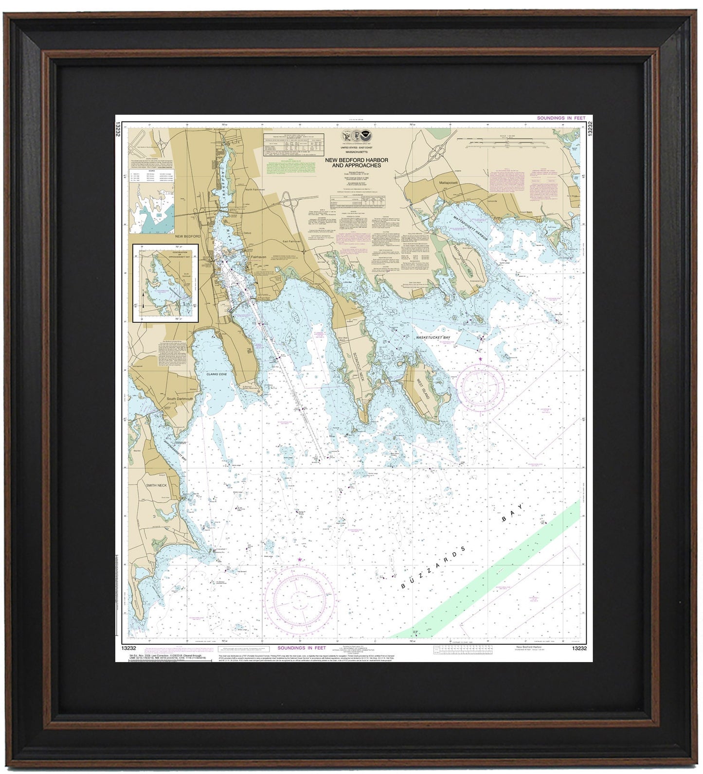
Framed Nautical Chart 13232 - New Bedford Harbor. NOAA 13232. Handmade in the USA.
Framed Nautical Chart 13232 - New Bedford Harbor. NOAA 13232. Handmade in the USA.
Couldn't load pickup availability
Discover the stunning beauty of New Bedford Harbor with our meticulously crafted Framed Nautical Chart 13232. This official NOAA Nautical Chart intricately details the vibrant waters and picturesque coastline of New Bedford Harbor and its approaches. The chart encompasses vital areas including the Acushnet River, New Bedford, Fairhaven, Mattapoisett Harbor, Nasketucket Bay, Buzzards Bay, Apponagansett Bay, and West Island, capturing the essence of these charming towns and harbors.
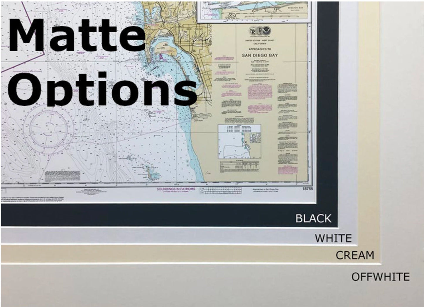
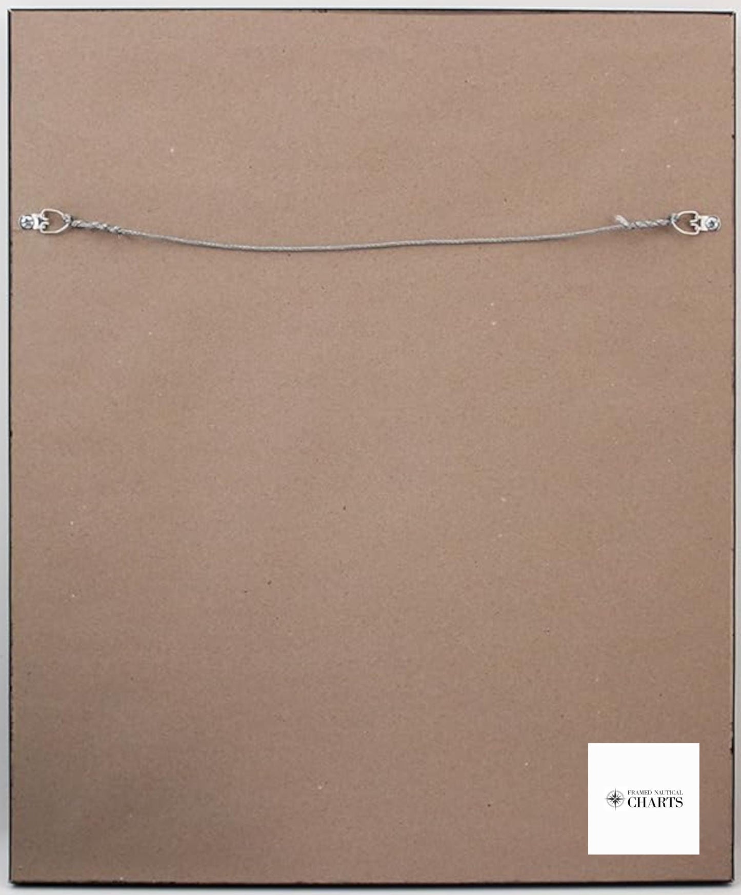
Each chart is custom handmade in the USA, showcasing exceptional craftsmanship. Presented in a solid wood frame, it features a museum-quality print produced on archival paper with fade-resistant inks. The chart is elegantly highlighted with a black mat and protected by a glass front, ensuring durability and a refined presentation. The back is finished with a paper duster for a polished look, and a convenient wire hanger is included for easy installation.
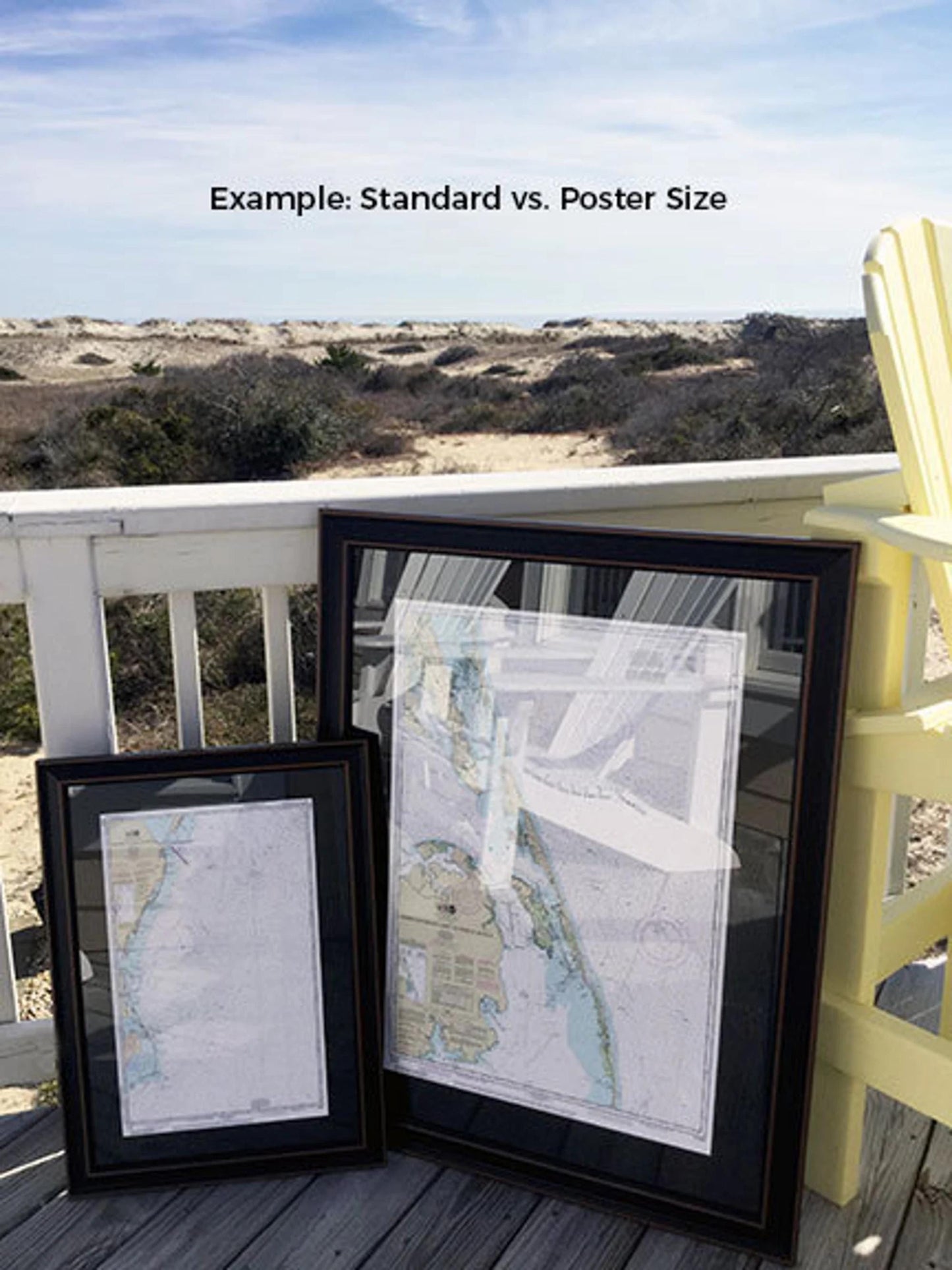
Available in two sizes:
- Standard size: Approximately 20 1/4" H x 24" W
- Poster size: Approximately 30 1/2" H x 36" W
Enjoy free ground shipping on orders within the 48 contiguous states. Please note that while we do not mark up shipping costs, shipping to Alaska and Hawaii incurs additional fees—contact us for custom shipping quotes.
If you have a specific frame option in mind or any sample photos to share, don’t hesitate to reach out! We are dedicated to helping you realize your vision with this beautiful maritime artwork.
Share