Framed Nautical Charts
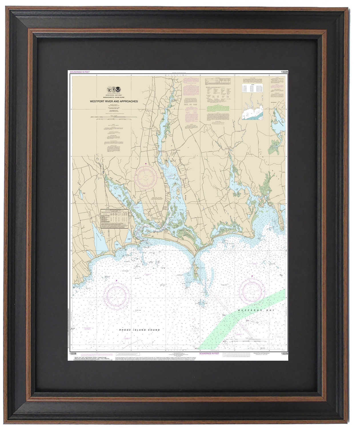
Framed Nautical Chart 13228 - Westport River. NOAA 13228. Handmade in the USA.
Framed Nautical Chart 13228 - Westport River. NOAA 13228. Handmade in the USA.
Couldn't load pickup availability
Discover the stunning beauty of the Westport River and its approaches with this handcrafted Framed Nautical Chart, NOAA 13228. This official NOAA Nautical Chart showcases the enchanting waters of Westport River, including the Rhode Island Sound, Buzzards Bay, Westport Harbor, and surrounding towns and harbors.
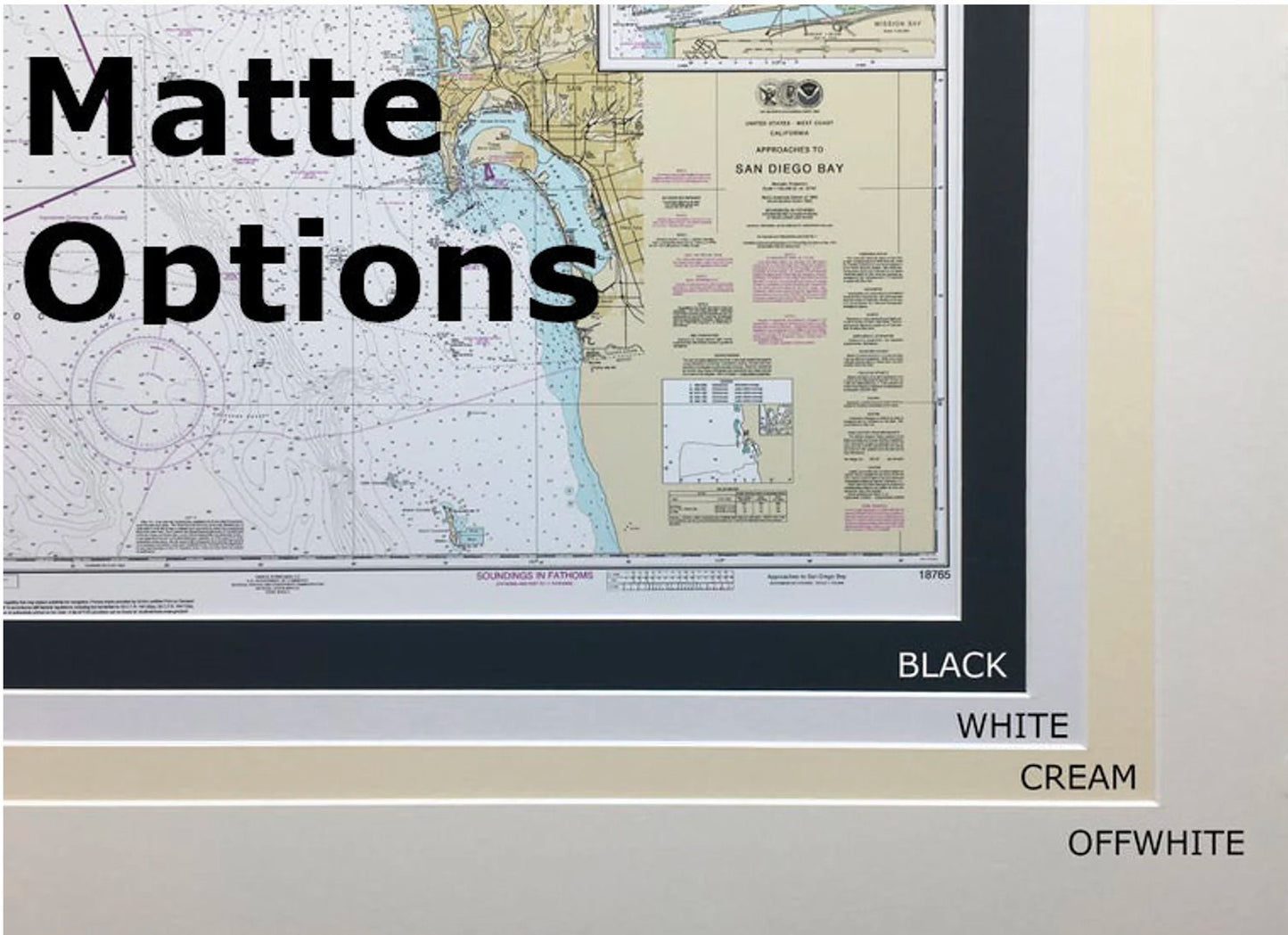
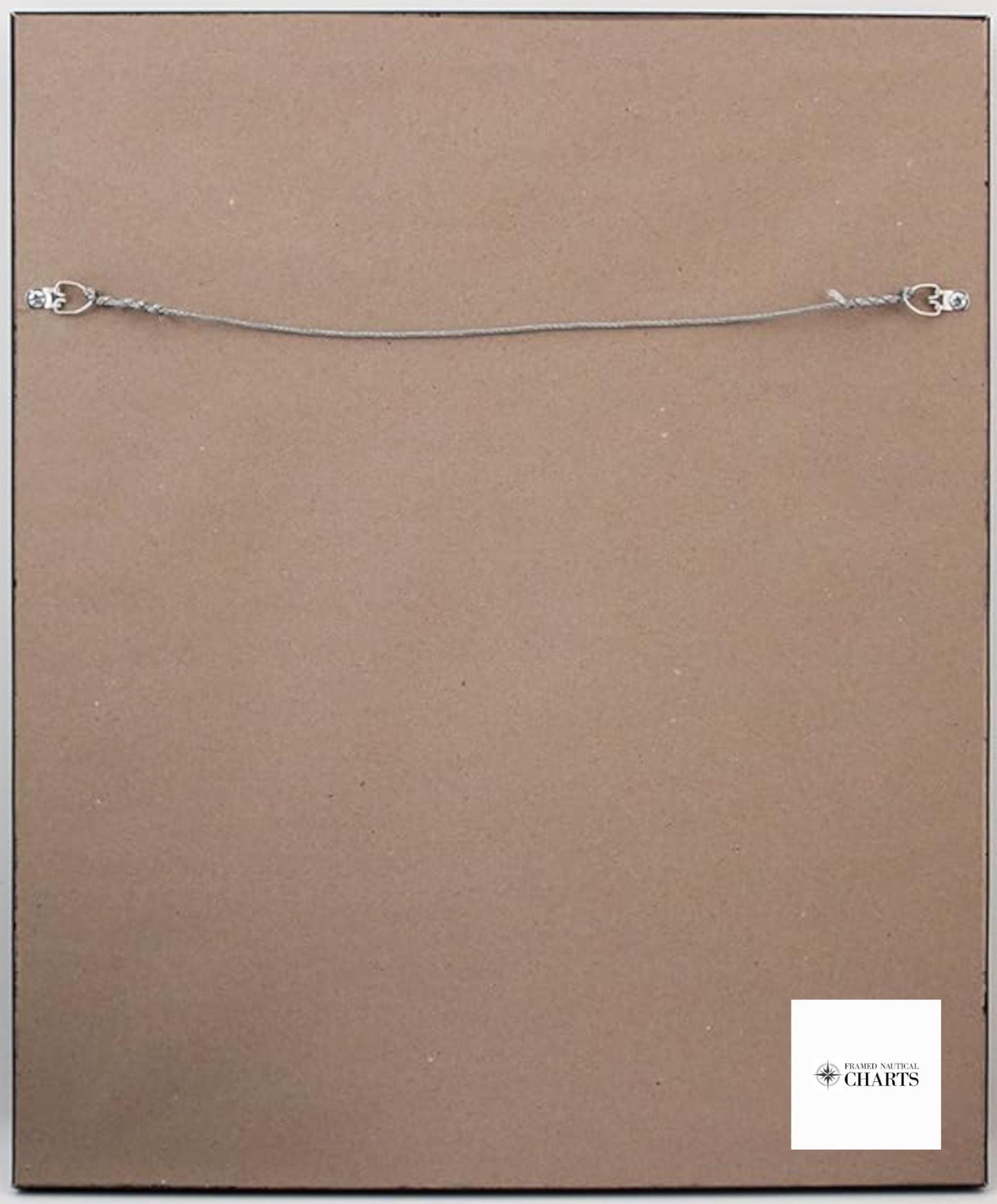
Each chart is meticulously handmade in the USA, reflecting exceptional craftsmanship and attention to detail. The chart is beautifully presented in a solid wood frame, featuring a museum-quality print created from archival paper and inks to ensure long-lasting vibrancy. It includes a sophisticated black mat and is protected by a glass front for a polished finish. The back is elegantly finished with a paper duster, and a wire hanger is included for easy installation.
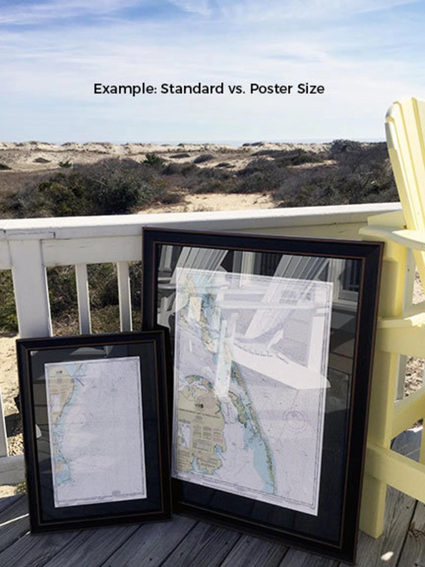
Our Framed Nautical Chart is available in two sizes to suit your space:
- Standard size with outer frame dimensions of approximately 24" H x 19" W
- Poster size with outer frame dimensions of approximately 36" H x 30" W
If you are interested in a different framing option, feel free to reach out to us with your specifications. We are happy to work with you to create the perfect piece that aligns with your vision.
*Important Shipping Note: Free ground shipping is available only for shipments within the 48 contiguous states. We do not inflate shipping costs; however, due to the higher shipping rates to Alaska and Hawaii, please contact us for a customized shipping quote.
Share