Framed Nautical Charts
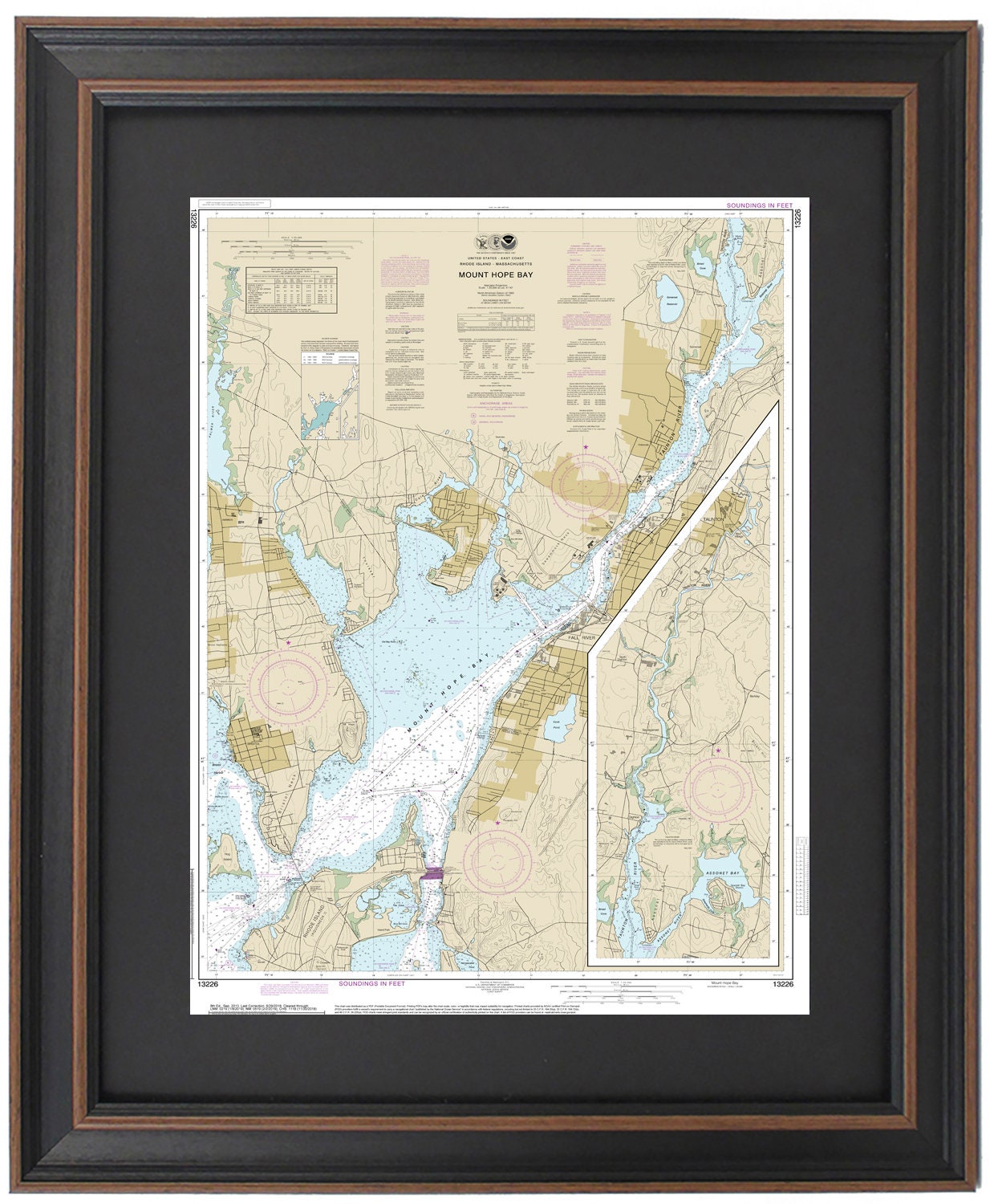
Framed Nautical Chart 13226 - Mount Hope Bay. NOAA 13226. Handmade in the USA.
Framed Nautical Chart 13226 - Mount Hope Bay. NOAA 13226. Handmade in the USA.
Couldn't load pickup availability
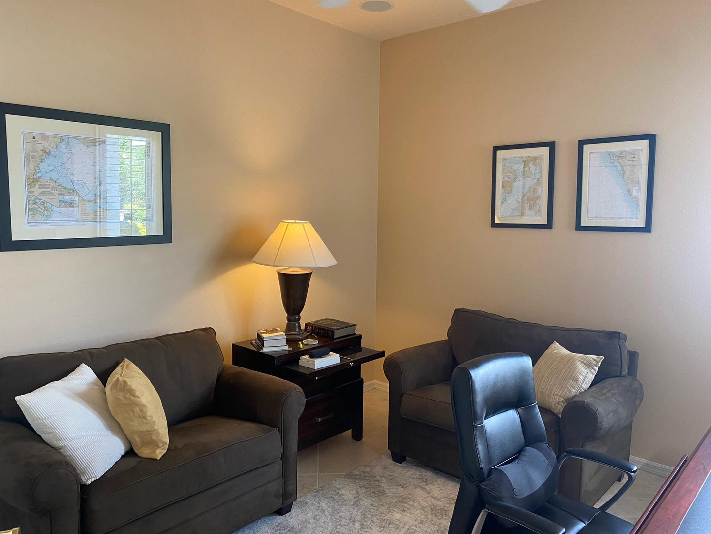
This beautifully framed nautical chart, NOAA 13226, showcases the stunning waters and coastline of Mount Hope Bay. This official nautical map highlights notable locations such as Prudence Island, the Taunton River, Bristol Harbor, and Bristol Neck, as well as other charming towns and harbors in Rhode Island.
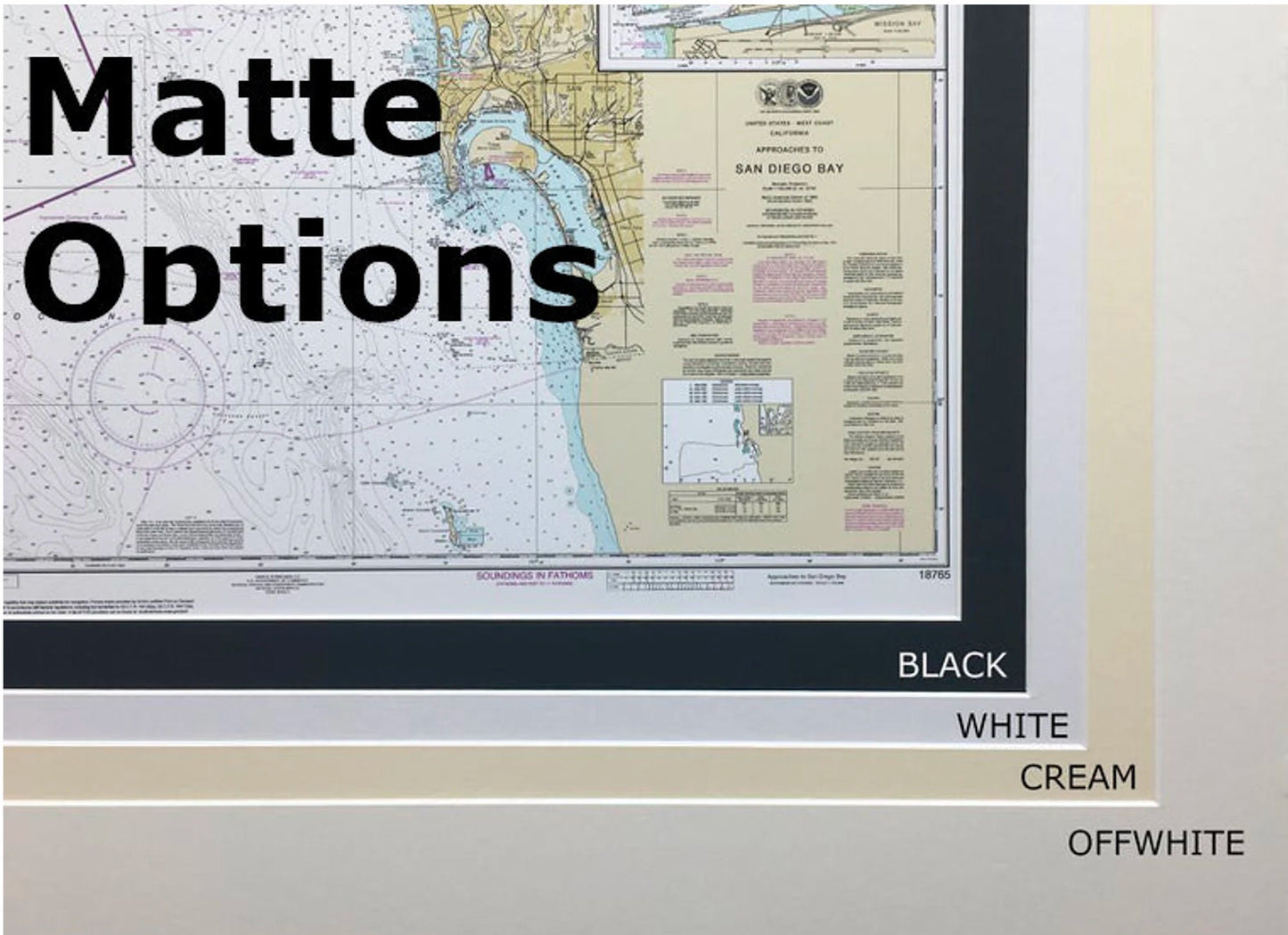
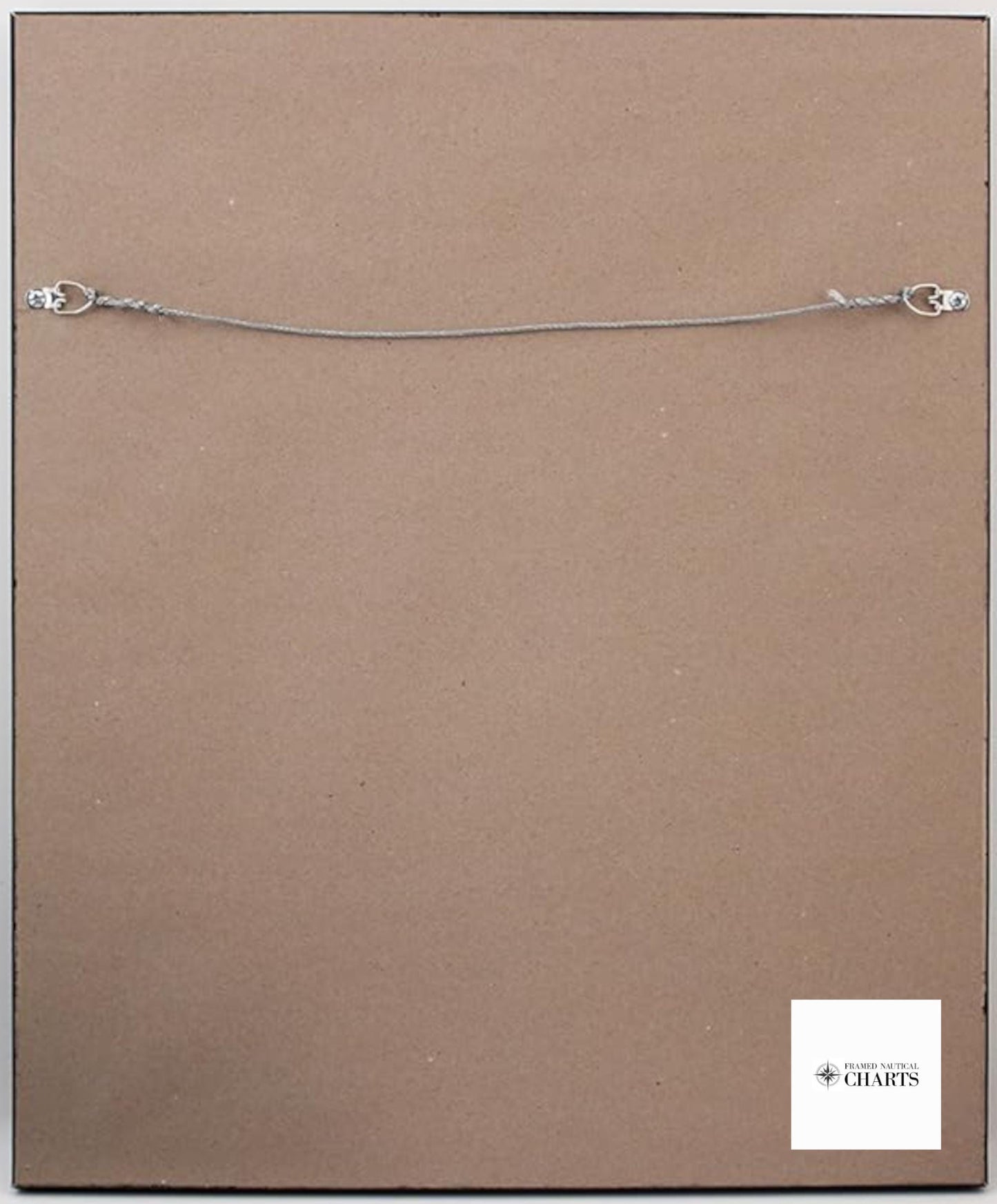
Each chart is meticulously handcrafted in the USA, ensuring the highest standards of craftsmanship. The chart is displayed in a solid wood frame and features a museum-quality print created with archival paper and inks for long-lasting beauty. It is elegantly presented with a black mat and protected by a glass front, while the back is finished with a paper duster for a polished look. A wire hanger is included for easy installation.
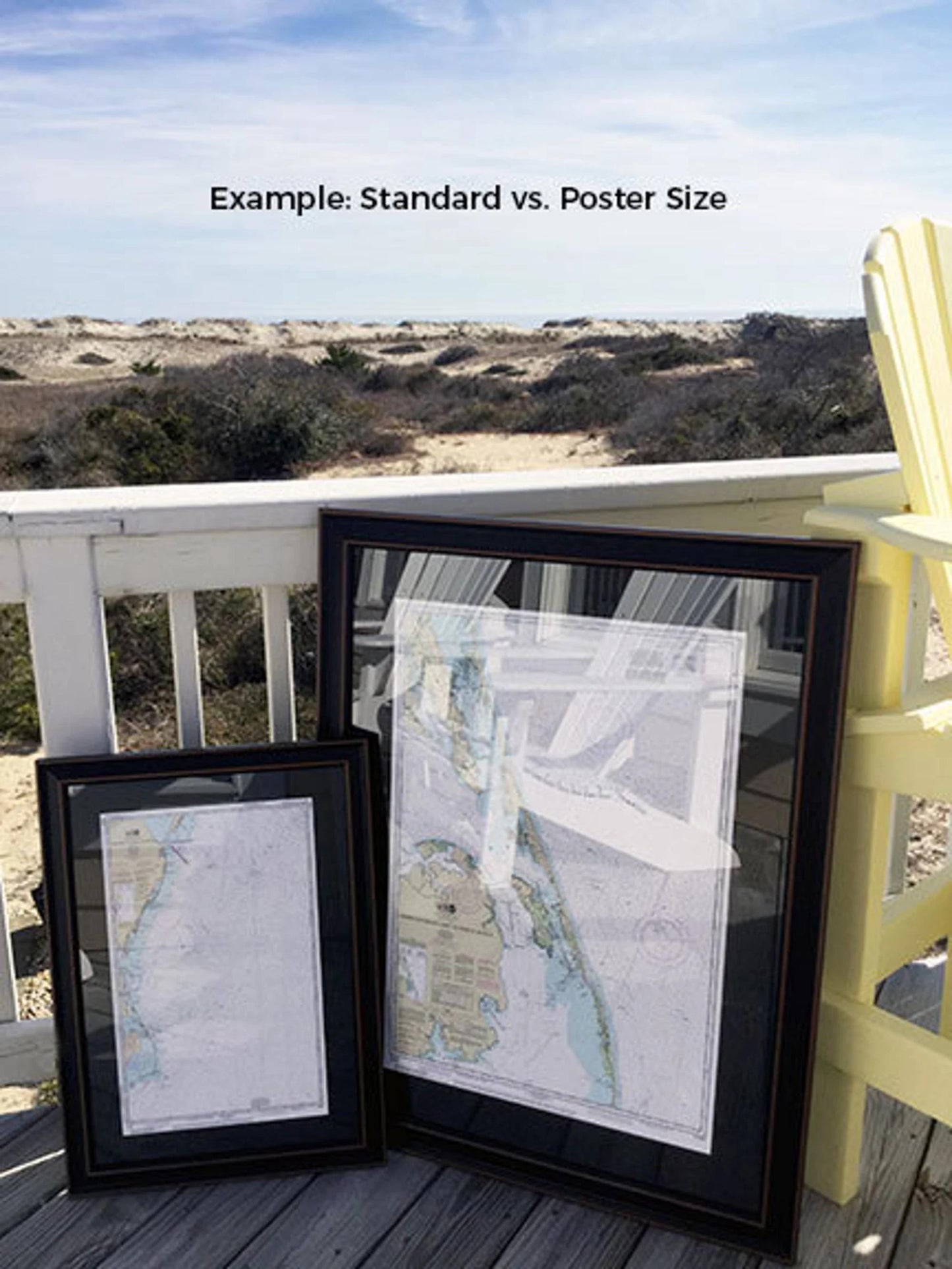
Choose from two frame sizes: the standard size with outer dimensions of approximately 17" H x 24" W, or the poster size measuring approximately 25 ¾" H x 36" W. If you have a specific frame option in mind, please don’t hesitate to reach out with your request. We would love to see any sample photos you may have to help bring your vision to life.
*Important Shipping Note: Free ground shipping is available for deliveries within the 48 contiguous states. We do not inflate shipping costs, but please contact us for a custom shipping quote if you're located in Alaska or Hawaii, as shipping rates can be significantly higher.
Share