Framed Nautical Charts
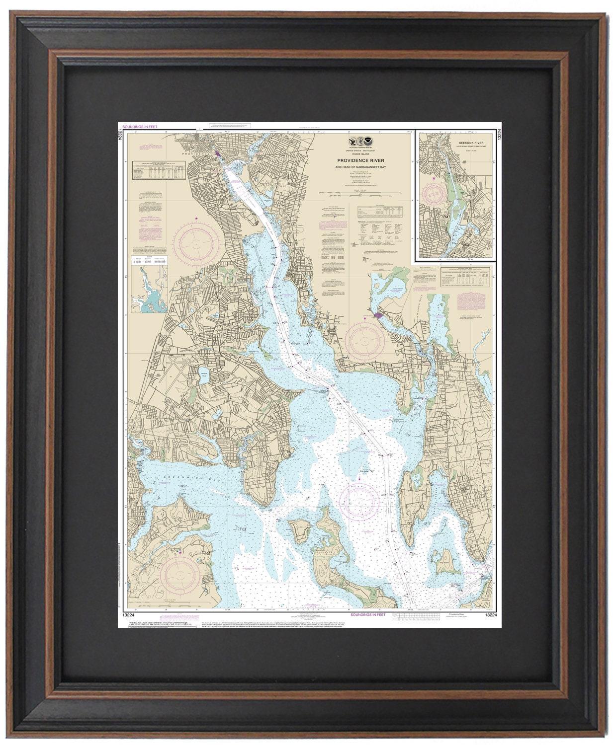
Framed Nautical Chart 13224 - Providence River (Head of Narragansett Bay). NOAA 13224. Handmade in the USA.
Framed Nautical Chart 13224 - Providence River (Head of Narragansett Bay). NOAA 13224. Handmade in the USA.
Couldn't load pickup availability
Discover the beauty of the waters along the Providence River and Head of Narragansett Bay with our exquisitely framed nautical chart, NOAA 13224. This detailed map encompasses the stunning coastline, including the Seekonk River from Cold Spring Point to Pawtucket, along with notable locations such as Greenwich Bay, Prudence Island, Providence, East Providence, and various adjacent towns and harbors.
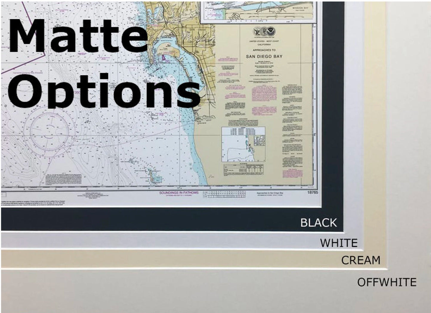
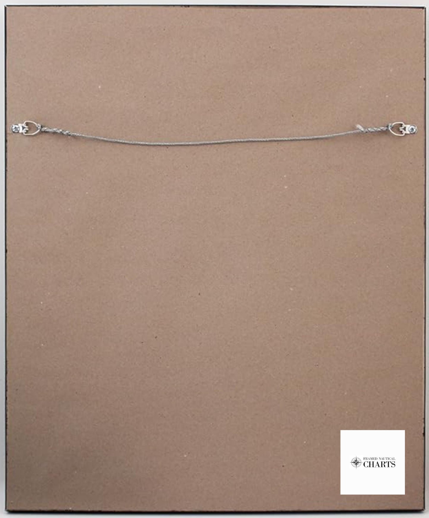
Expertly handcrafted in the USA, each chart exemplifies exceptional craftsmanship and quality. It is presented in a solid wood frame and features a museum-quality print made from archival paper and inks, ensuring longevity and vivid detail. The chart is elegantly highlighted with a black mat and protected by a glass front for durability. The back is finished with a paper duster, and a wire hanger is included for easy wall mounting.
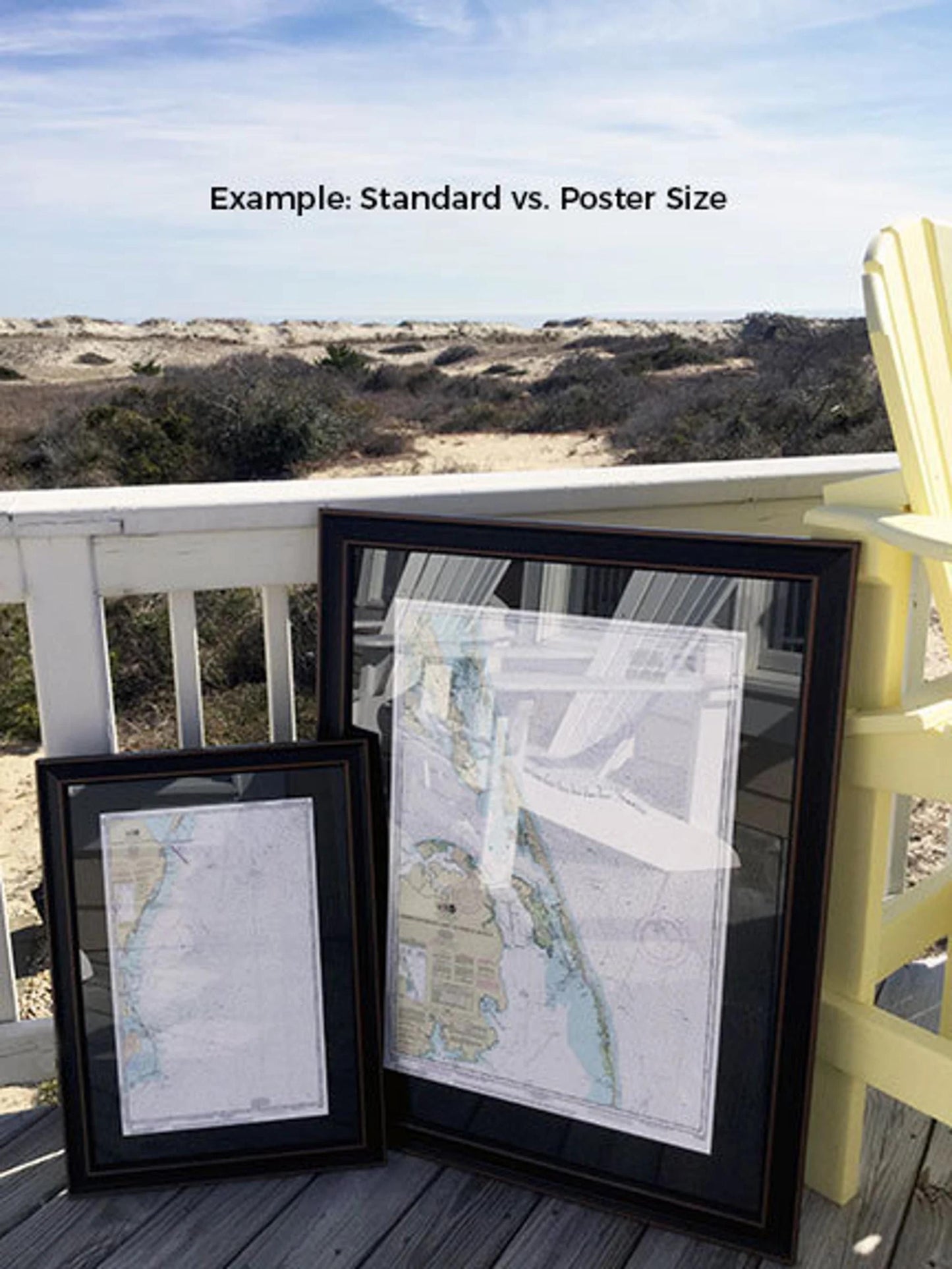
Choose from two sizes to fit your space:
-standard size with outer frame dimensions of approximately 17" H x 24" W
-poster size measuring about 25 3/4" H x 36" W. I
f you’re interested in a different frame option, please reach out to us. We would be delighted to collaborate with you and create a custom look based on your vision; feel free to share any sample photos you may have.
**Important Shipping Note:** We offer free ground shipping for orders within the 48 contiguous states. Note that shipping to Alaska and Hawaii incurs higher costs, so please contact us for a custom shipping quote. Enjoy a piece of maritime history with this stunning, customizable nautical chart!
Share