Framed Nautical Charts
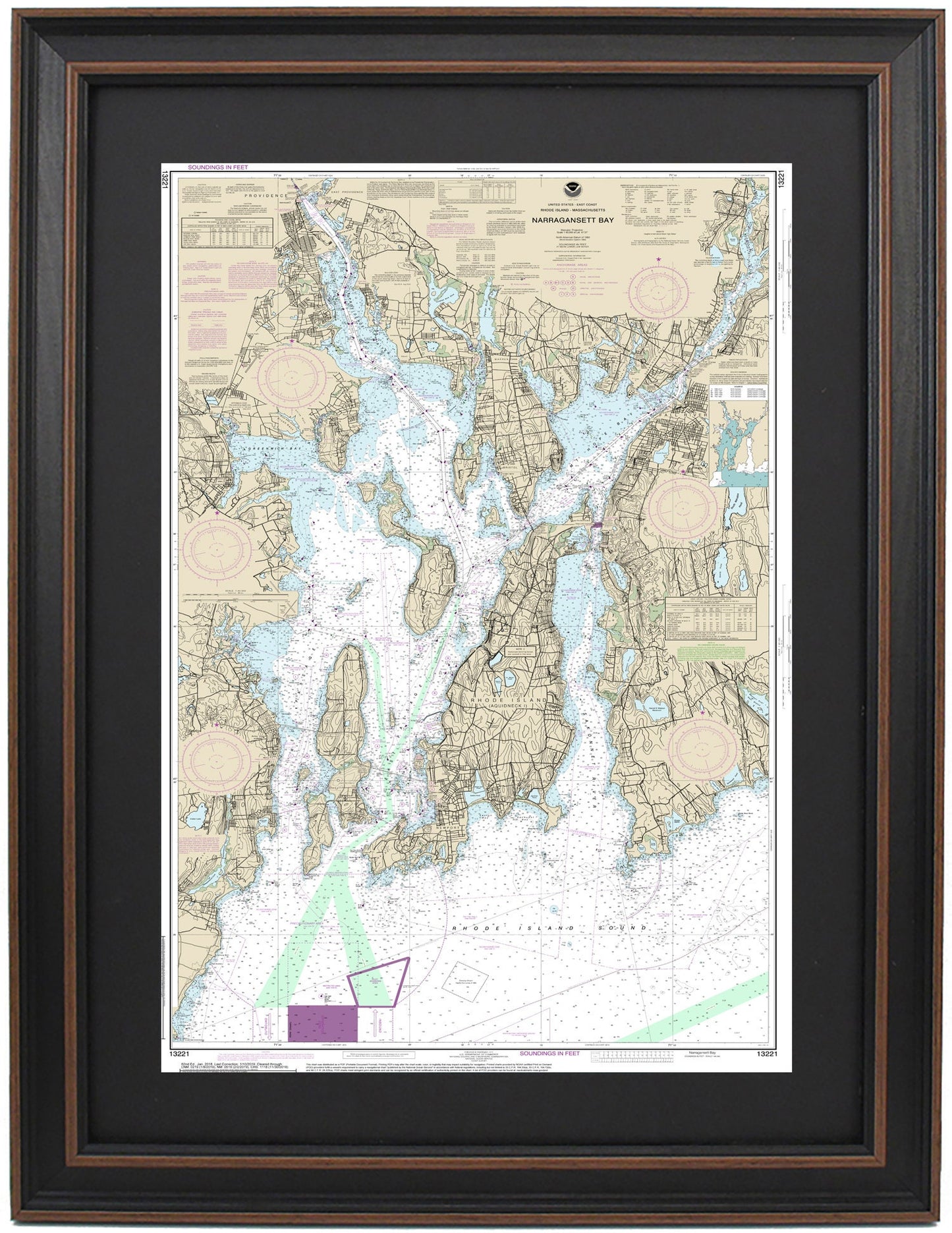
Framed Nautical Chart 13221 - Narragansett Bay. NOAA 13221. Handmade in the USA.
Framed Nautical Chart 13221 - Narragansett Bay. NOAA 13221. Handmade in the USA.
Couldn't load pickup availability
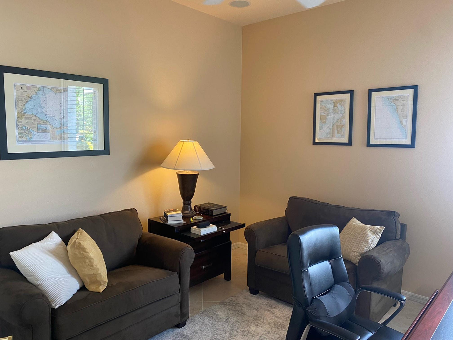
Discover the beauty of Narragansett Bay with our exquisite Framed Nautical Map, NOAA Chart 13221. This official nautical chart intricately details the stunning waters and coastline of Narragansett Bay, including key areas such as Providence River, Greenwich Bay, Mount Hope Bay, and Sakonnet River, along with various charming towns and harbors.
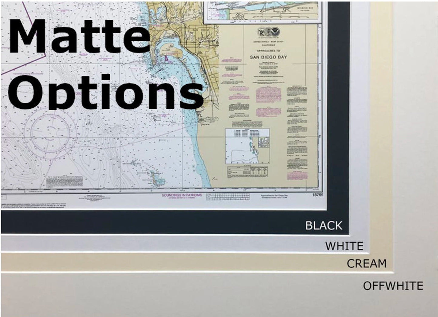
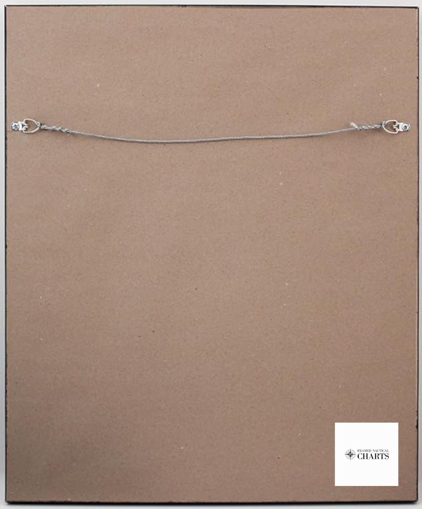
Each chart is meticulously handcrafted in the USA, showcasing our commitment to high-quality craftsmanship. The nautical map is elegantly presented in a solid wood frame and features a museum-quality print made from archival paper and inks to ensure long-lasting vibrancy. The design includes a sophisticated black mat and is protected by a durable glass front. The back is finished with a paper duster, and a wire hanger is included for effortless installation.
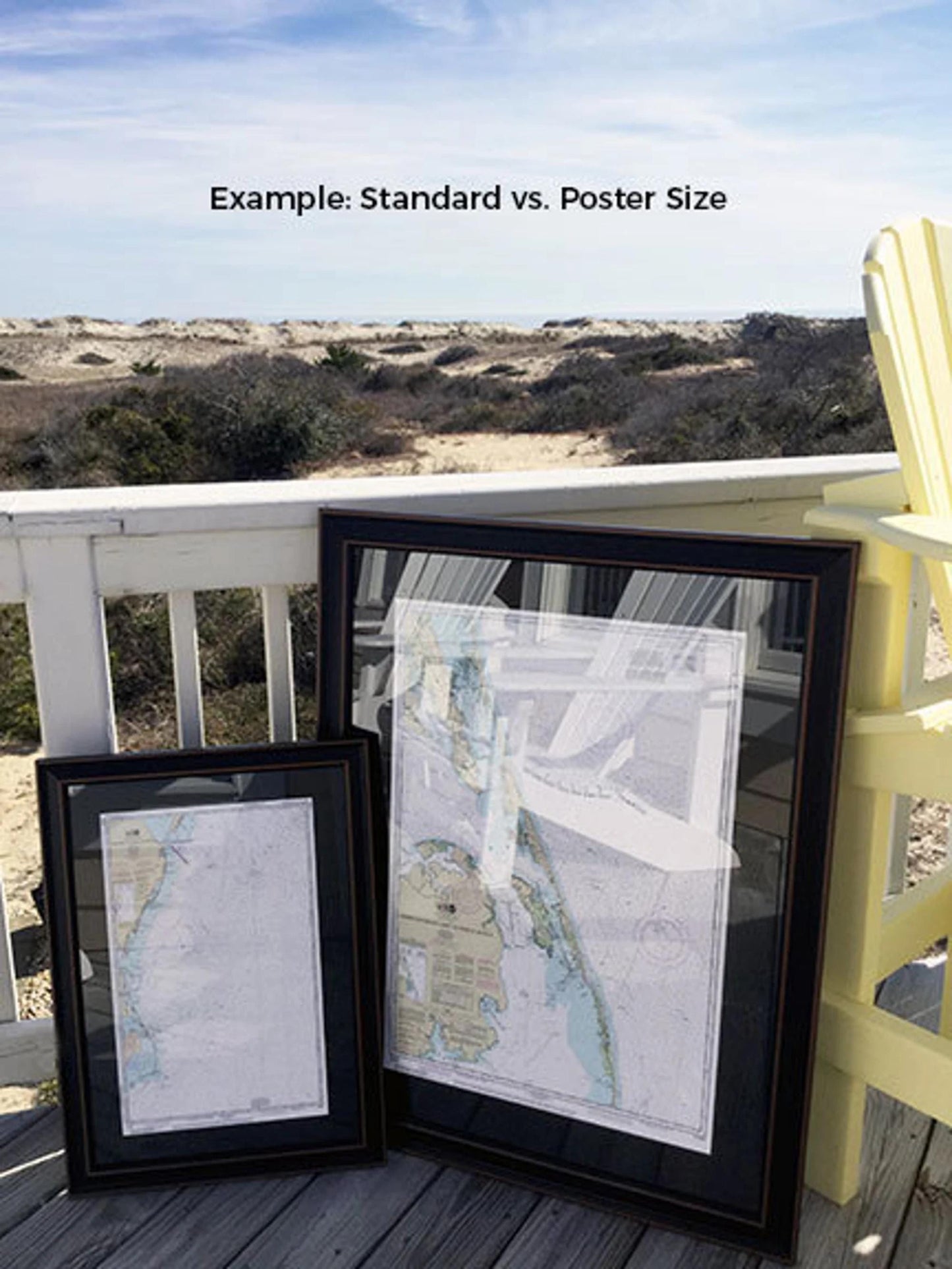
Choose from two frame sizes to perfectly fit your space: the standard size with outer dimensions of approximately 14 1/2" W x 24" H, or the poster size measuring approximately 22" W x 36" H.
If you’re interested in exploring different frame options, please don’t hesitate to reach out with your preferences. We’re more than happy to consider any sample photos you provide to help us create your ideal piece.
*Important Shipping Note: Free ground shipping is only available for deliveries to the 48 contiguous states. We do not inflate shipping costs; however, due to higher shipping fees for Alaska and Hawaii, please contact us for a customized shipping quote.
Share