Framed Nautical Charts
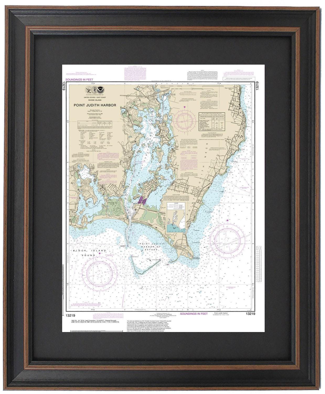
Framed Nautical Chart 13219 - Point Judith Harbor, RI. NOAA 13219. Handmade in the USA.
Framed Nautical Chart 13219 - Point Judith Harbor, RI. NOAA 13219. Handmade in the USA.
Couldn't load pickup availability
Discover the beauty of Point Judith Harbor, Rhode Island, with this stunning Framed Nautical Chart. This official NOAA Nautical Chart, number 13219, intricately details the captivating waters and coastline of the harbor, encompassing notable locations such as Point Judith Neck, Snug Harbor, Potter Pond, and Point Judith Pond.
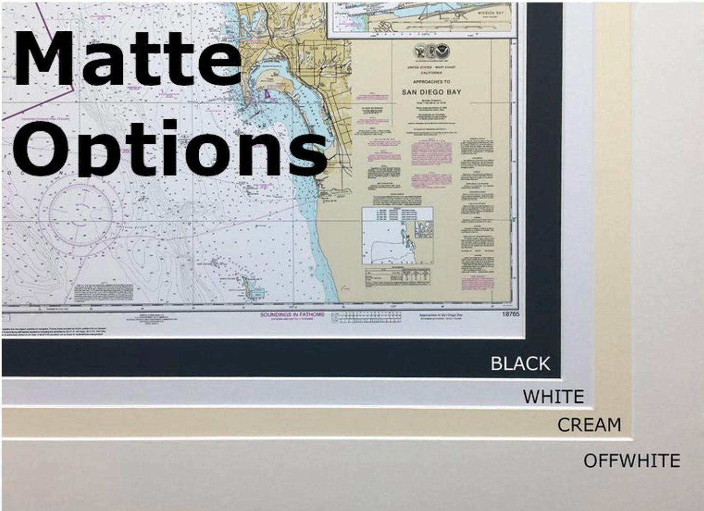
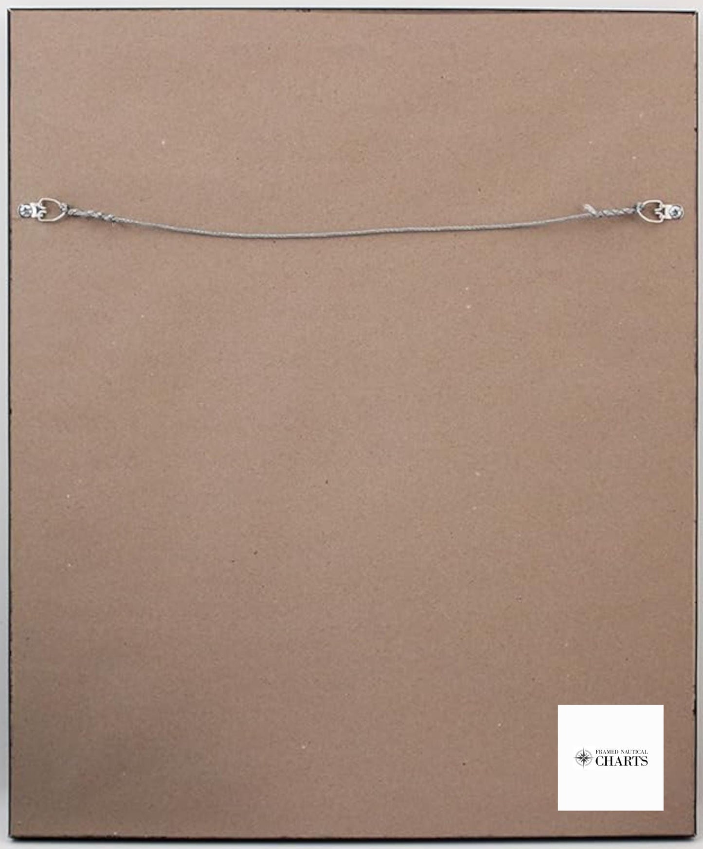
Each chart is meticulously handmade in the USA, showcasing exceptional craftsmanship and quality. Designed with a solid wood frame, the nautical map features a museum-quality print created from archival paper and inks, ensuring durability and vibrancy. The elegant presentation includes a black mat and is protected by a glass front, making it a perfect addition to your home or office decor. The back is finished with a paper duster, and a convenient wire hanger is included for effortless installation.
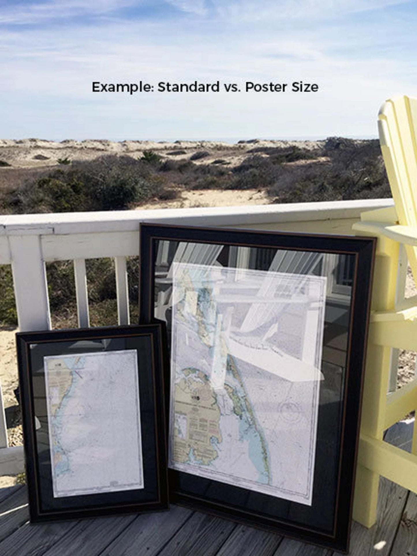
Frames are available in two sizes:
- Standard size: Outer frame dimensions approximately 17.5" H x 24" W
- Poster size: Outer frame dimensions approximately 26.5" H x 36" W
If you're looking for a specific frame option, please feel free to reach out with your request. We are happy to work with you to create your ideal presentation, and we welcome any sample photos you may have.
*Important Shipping Note: Free ground shipping is available only for orders shipped within the 48 contiguous states. While we do not inflate shipping costs, please contact us for a custom shipping quote for deliveries to Alaska and Hawaii, as these can be significantly higher due to distance. Enhance your space with this exquisite nautical chart and celebrate the charm of Point Judith Harbor!
Share