Framed Nautical Charts
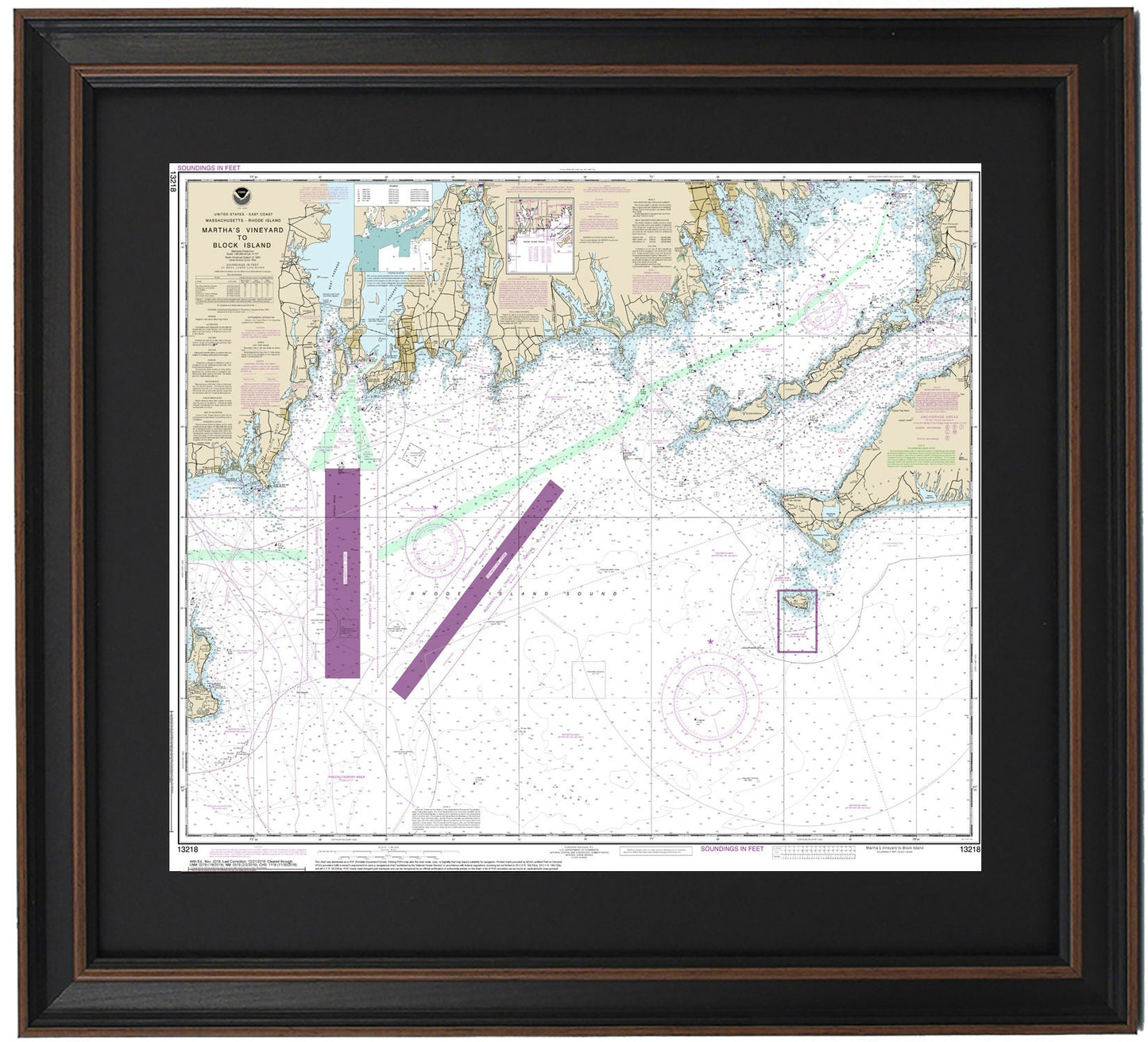
Framed Nautical Chart 13218 - Marthas Vineyard to Block Island. NOAA 13218. Handmade in the USA.
Framed Nautical Chart 13218 - Marthas Vineyard to Block Island. NOAA 13218. Handmade in the USA.
Couldn't load pickup availability
Discover the exquisite Framed Nautical Chart 13218, showcasing the stunning waters from Martha's Vineyard to Block Island. This official NOAA Nautical Chart intricately details the picturesque coastline, including Buzzards Bay, Vineyard Sound, Smith Neck, Newport Neck, Point Judith Neck, Naushon Island, and various delightful towns and harbors.
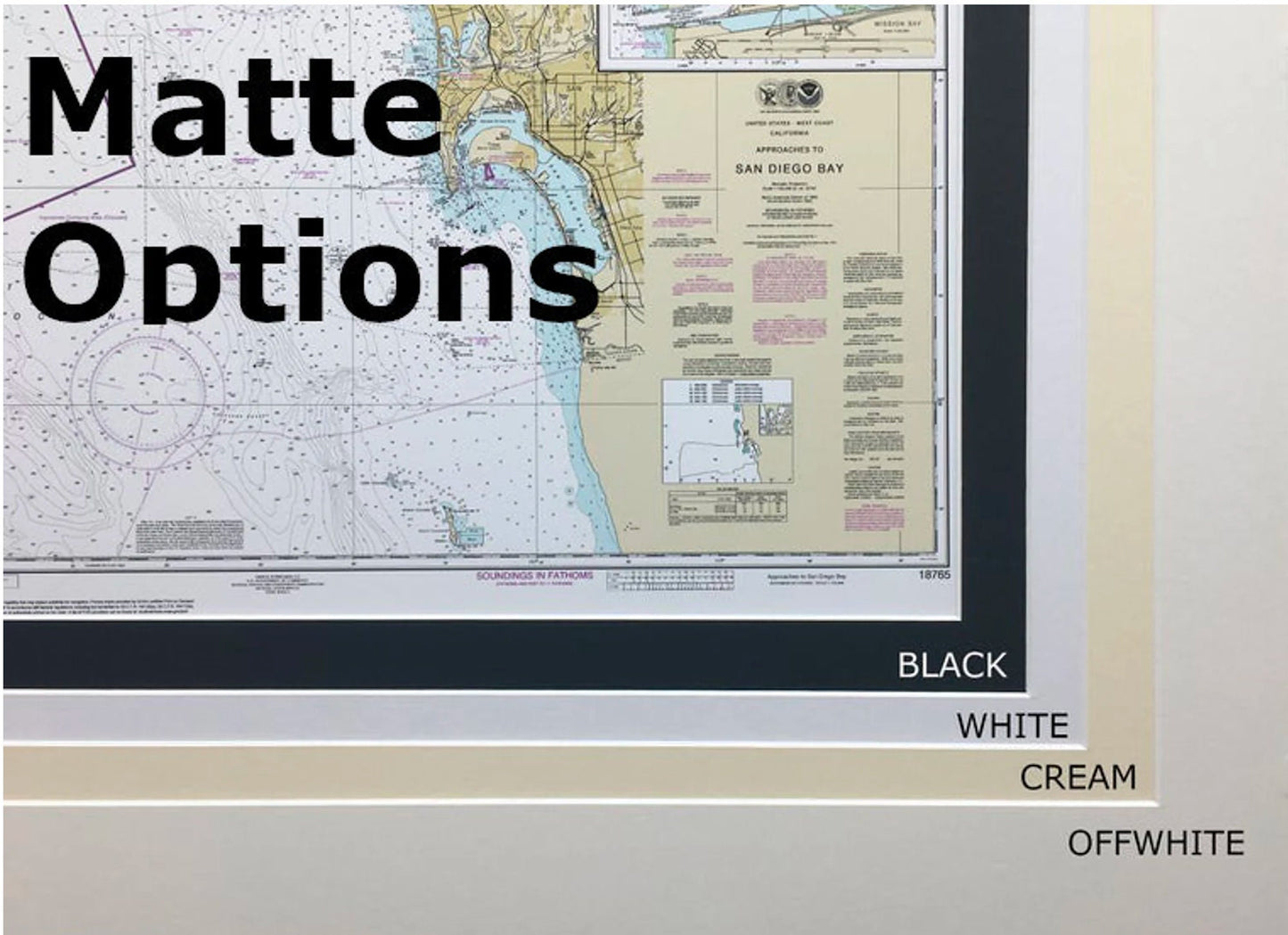
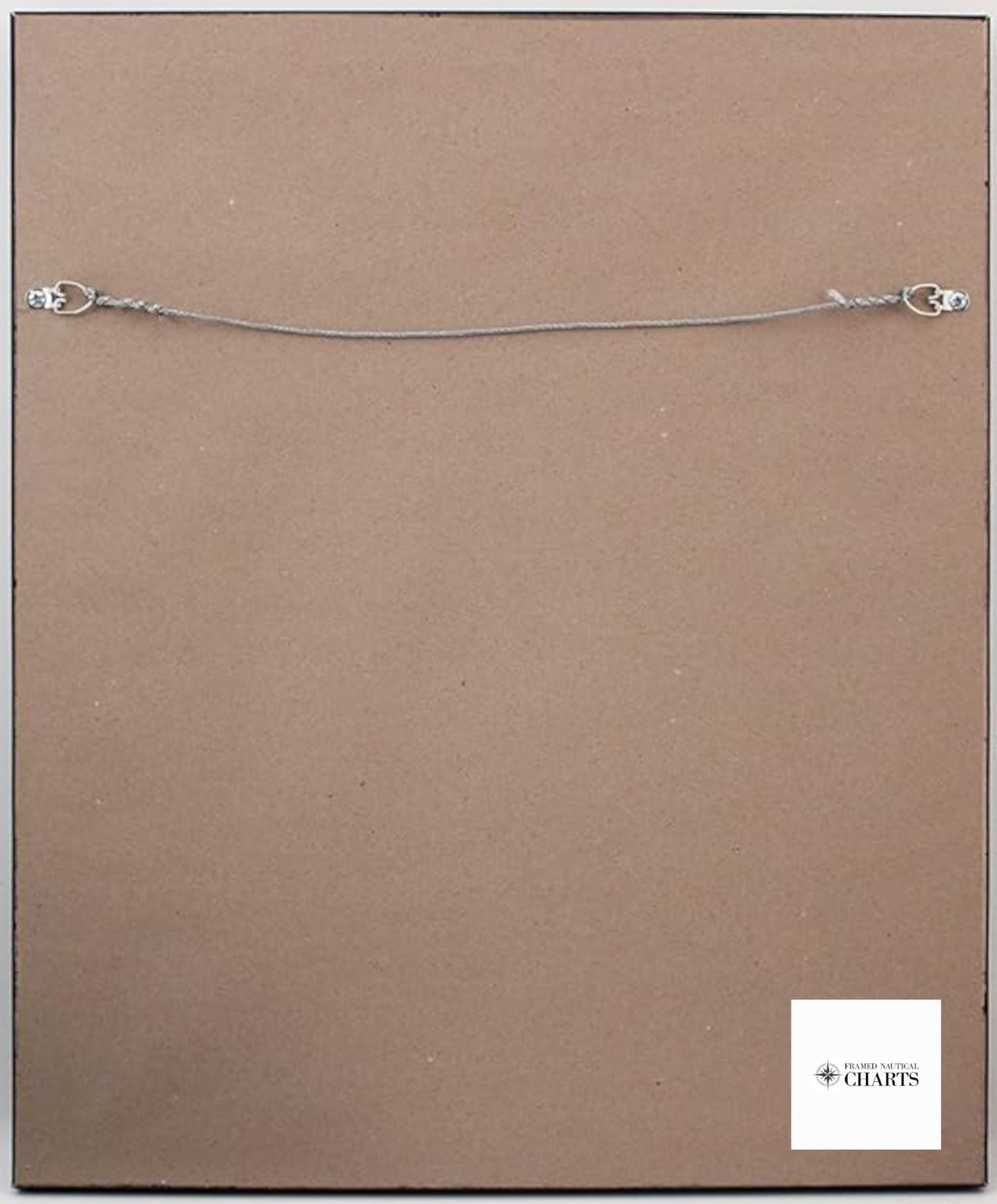
Each chart is thoughtfully handmade in the USA, exemplifying superior craftsmanship. It is elegantly presented in a solid wood frame and features a museum-quality print produced from archival paper and inks, ensuring a lasting impression. The design includes a sophisticated black mat and is protected by a glass front for durability. The back is finished with a paper duster, and a wire hanger is provided for effortless installation.
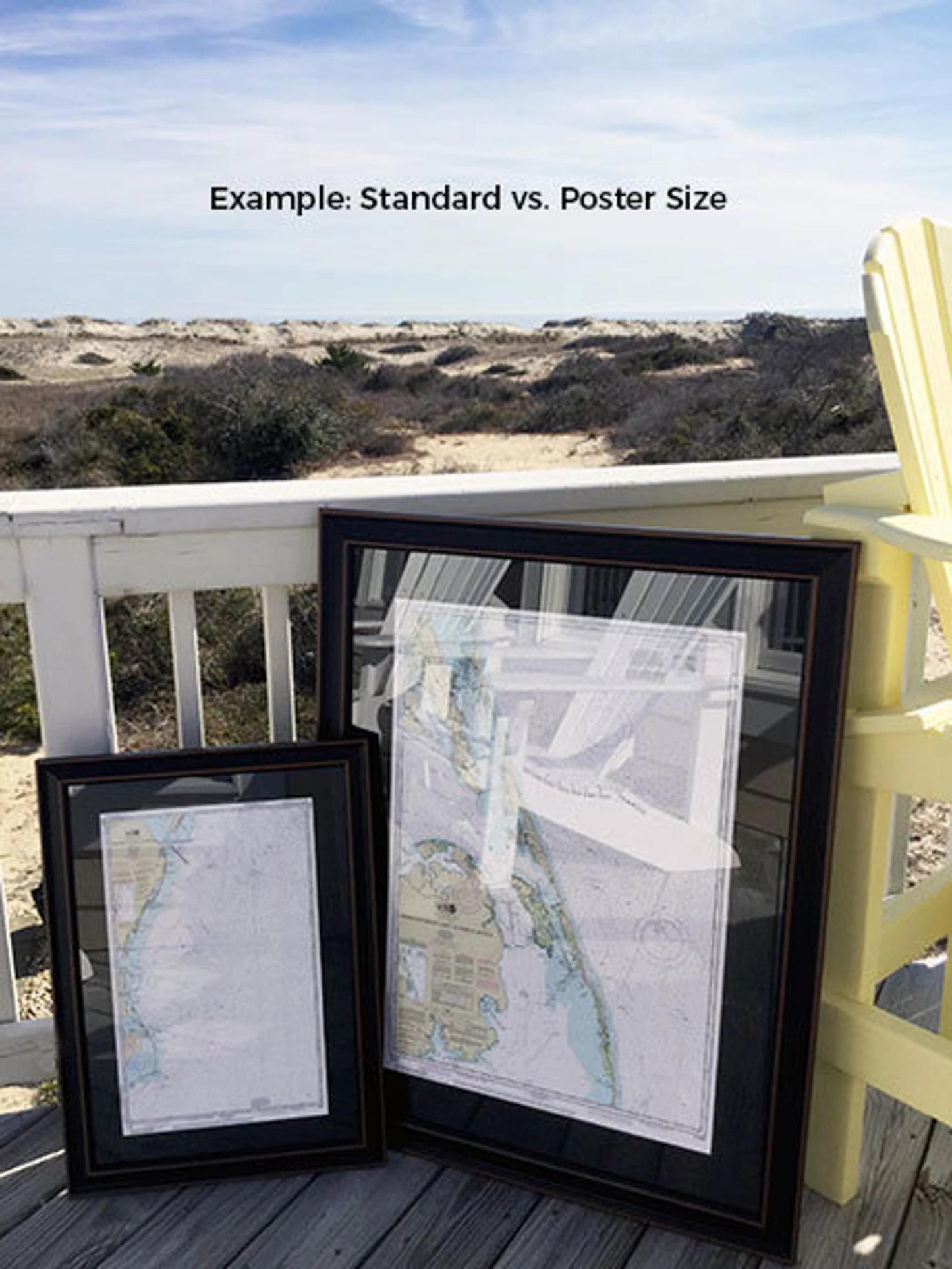
Available in two sizes, you can choose the perfect fit for your space:
- Standard size: Outer frame dimensions are approximately 20 1/4" H x 24" W.
- Poster size: Outer frame dimensions are approximately 30 1/2" H x 36" W.
If you're seeking a different frame option, please don't hesitate to reach out to us with your requests. We welcome any sample photos you may have to help us create precisely what you envision.
*Important Shipping Note: Free ground shipping is available only for shipments within the 48 contiguous states. We pride ourselves on not marking up shipping costs; however, due to the high expenses associated with shipping to Alaska and Hawaii, please contact us for a custom shipping quote.
Share