Framed Nautical Charts
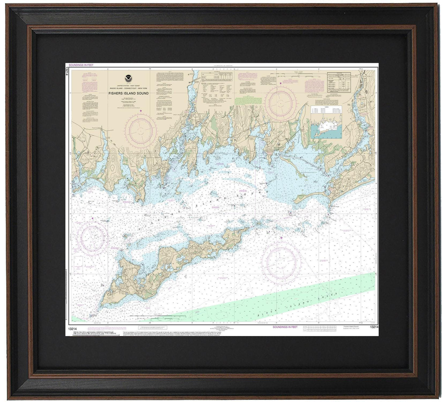
Framed Nautical Chart 13214 - Fishers Island Sound. NOAA 13214. Handmade in the USA.
Framed Nautical Chart 13214 - Fishers Island Sound. NOAA 13214. Handmade in the USA.
Couldn't load pickup availability
Discover the beauty of Fishers Island Sound with this exquisite framed nautical chart. This official NOAA nautical chart (13214) intricately details the stunning waters and coastline of Fishers Island Sound, showcasing landmarks such as Fishers Island, Mason Island, Mystic Harbor, and various towns and harbors along the way.
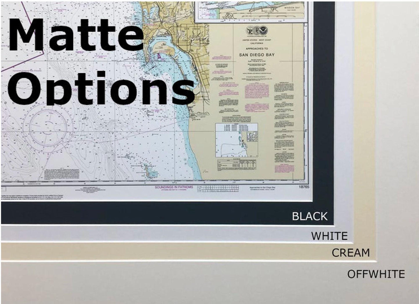
Each chart is meticulously handcrafted in the USA, ensuring exceptional quality and craftsmanship. The nautical map is elegantly presented in a solid wood frame and features a museum-quality print produced on archival paper with fade-resistant inks. To enhance its visual appeal, the chart is complemented by a classic black mat and protected by a durable glass front. The back is finished with a paper duster, and a wire hanger is included for easy wall mounting.
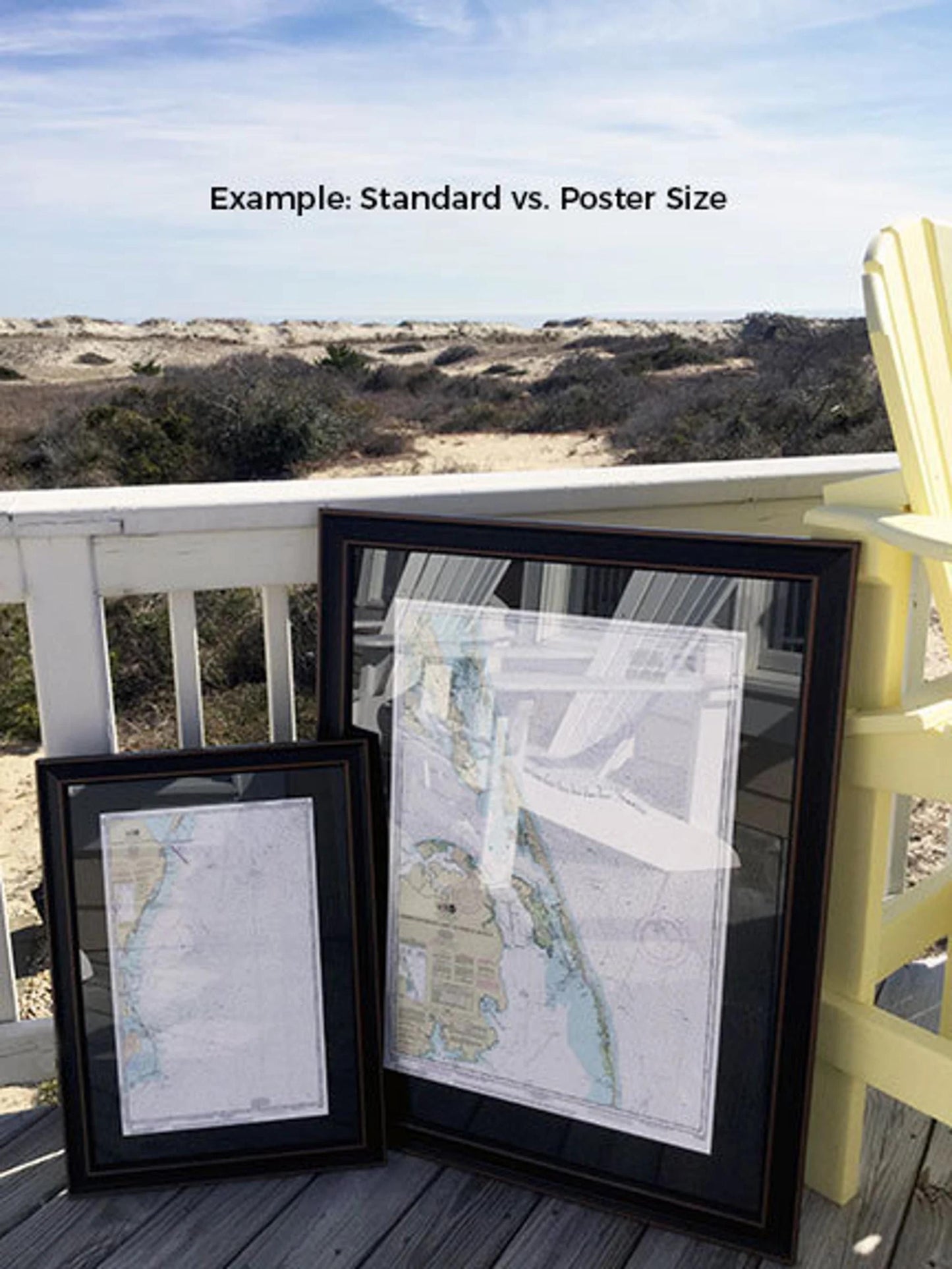
Available in two distinct sizes, you can choose the perfect fit for your space:
- Standard size: Approx. 19 1/4" H x 24" W
- Poster size: Approx. 29" H x 36" W
If you have a specific frame style in mind, please don't hesitate to contact us. We’re more than happy to discuss your ideas and create a custom piece that matches your vision.
*Important Shipping Note: Free ground shipping is available for deliveries within the 48 contiguous states. While we do not inflate shipping costs, please reach out for a custom quote if you require shipping to Alaska or Hawaii, as the rates can be significantly higher.
Share