Framed Nautical Charts
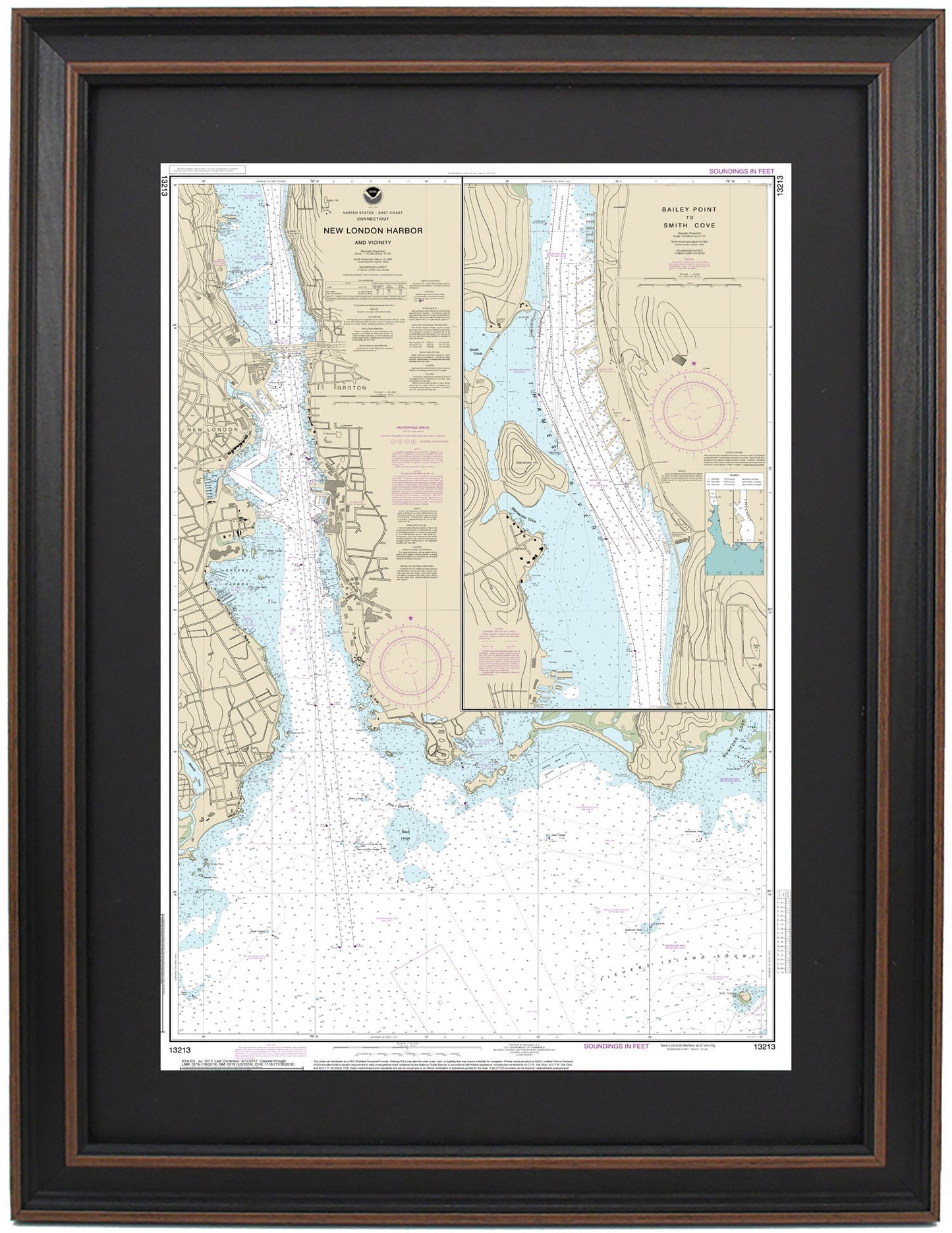
Framed Nautical Chart 13213 - New London Harbor. NOAA 13213. Handmade in the USA.
Framed Nautical Chart 13213 - New London Harbor. NOAA 13213. Handmade in the USA.
Couldn't load pickup availability
Discover the beauty of New London Harbor with this exquisite Framed Nautical Chart 13213, capturing the stunning waters and coastline of the region. This official NOAA Nautical Chart details the rich maritime features of New London Harbor, including the Thames River from Bailey Point to Smith Cove, along with the charming towns of New London and Groton.
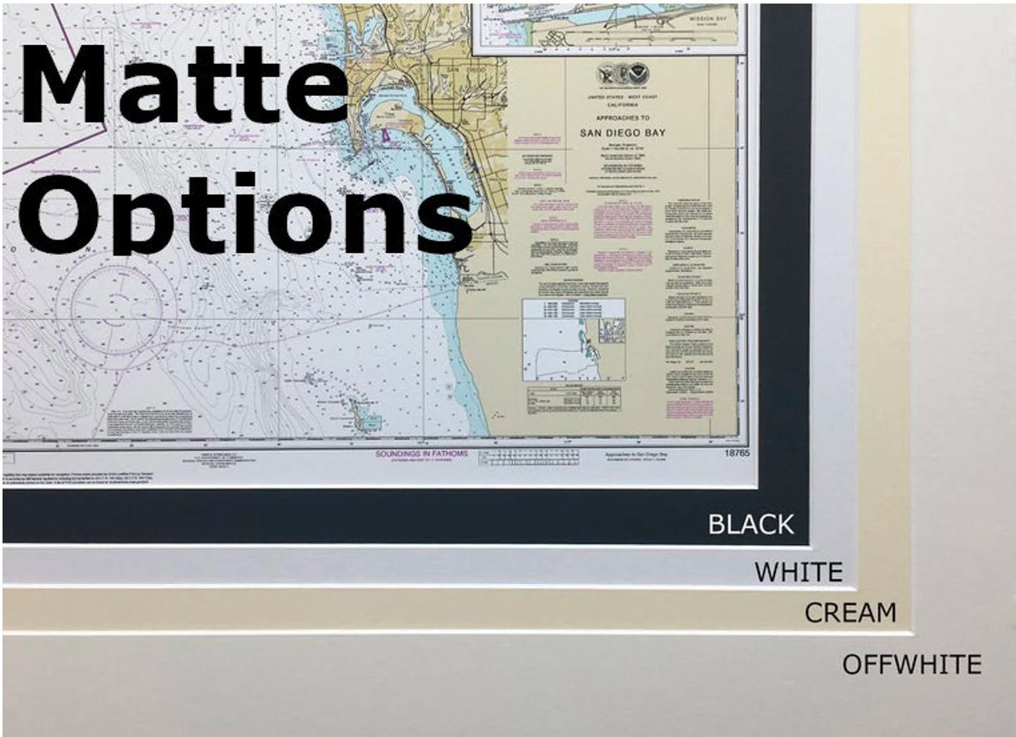
Each chart is meticulously handcrafted in the USA, demonstrating exceptional craftsmanship. It comes elegantly displayed in a solid wood frame, featuring a museum-quality print created from archival-grade paper and inks. A sophisticated black mat enhances the visual appeal, while a glass front protects the chart and ensures longevity. The back is neatly finished with a paper duster, and a wire hanger is included for effortless installation.
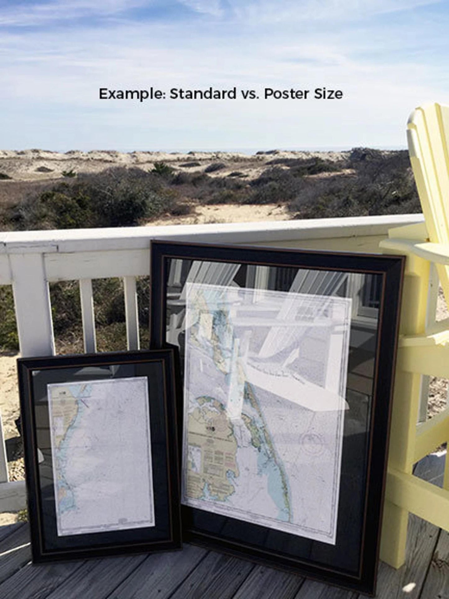
Our framed charts are available in two sizes: the standard size with outer frame dimensions of approximately 16" W x 24" H and the poster size at approximately 24" W x 36" H. Each piece combines quality materials, including wood framing and glass front protection, ensuring a stunning addition to your decor.
We proudly offer free ground shipping to the 48 contiguous states. Please note that due to the higher shipping costs to Alaska and Hawaii, we recommend contacting us for custom shipping quotes. If you're seeking a different frame option to perfectly match your vision, feel free to reach out with your request. We’re happy to work with any sample photos you have in mind to create exactly what you envision. Enhance your space with this beautiful representation of New London Harbor!
Share