Framed Nautical Charts
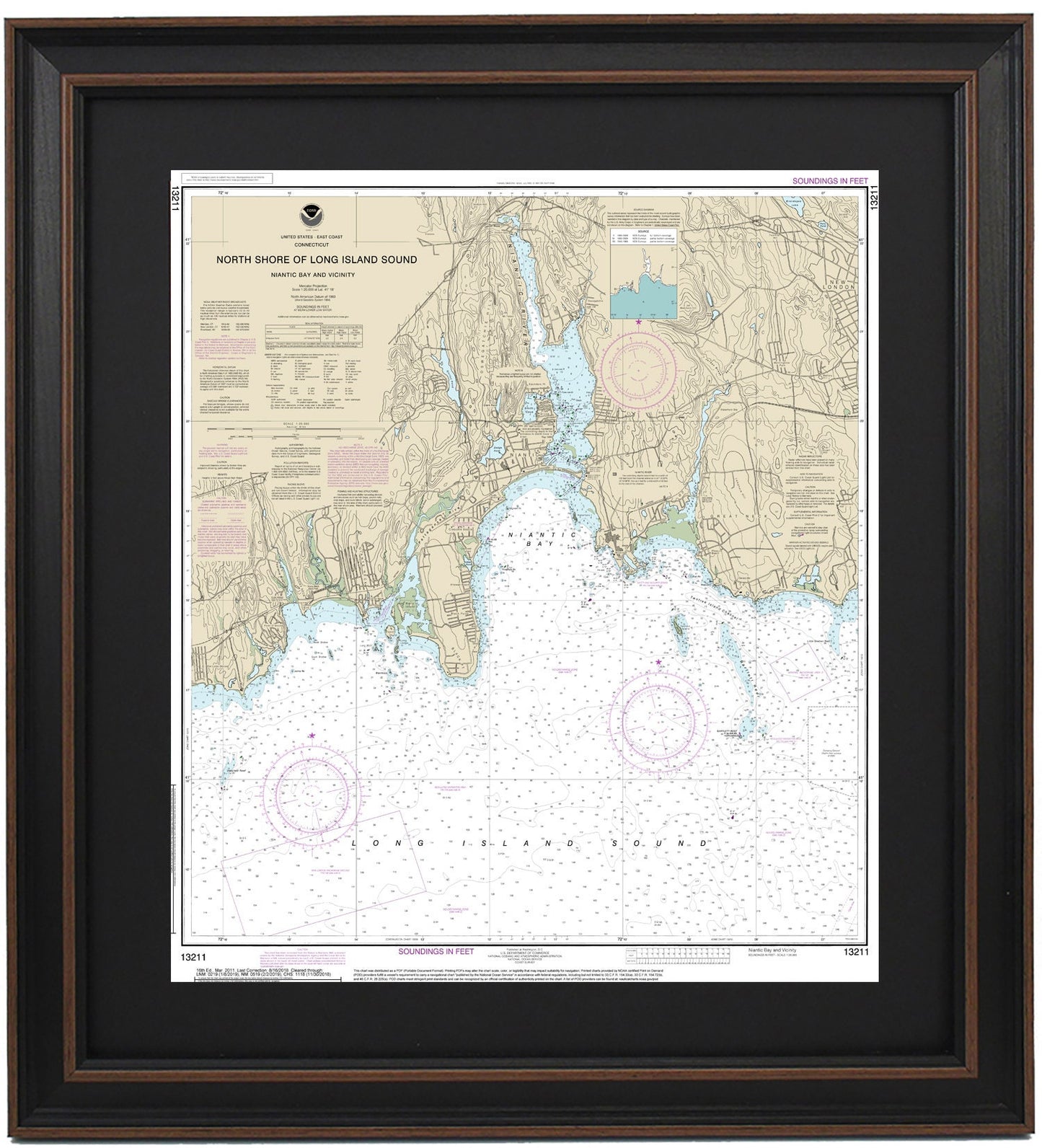
Framed Nautical Chart 13211 - North Shore Long Island Sound. Niantic Bay and Vicinity. NOAA 13211. Handmade in the USA.
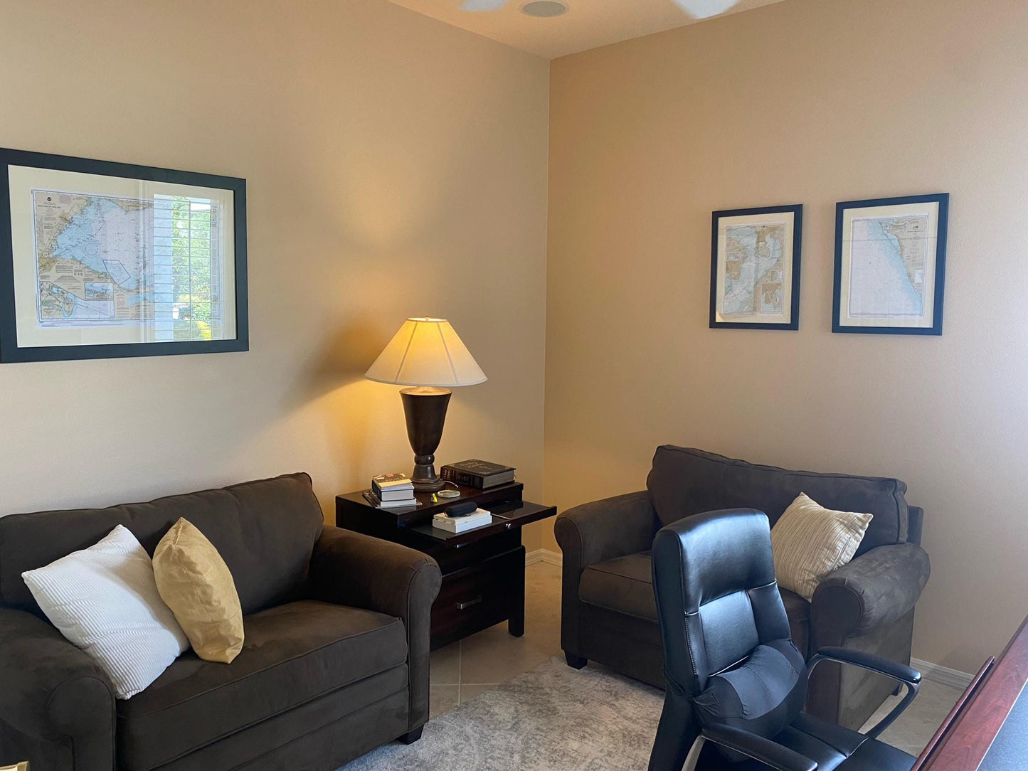
Framed Nautical Chart 13211 - North Shore Long Island Sound. Niantic Bay and Vicinity. NOAA 13211. Handmade in the USA.
Couldn't load pickup availability
Discover the beauty of the North Shore of Long Island Sound with our meticulously crafted Framed Nautical Chart 13211, showcasing Niantic Bay and its surrounding areas. This official NOAA Nautical Chart highlights the stunning coastline, including the Niantic River, the charming Town of Niantic, Niantic Bay, and various nearby towns and harbors.
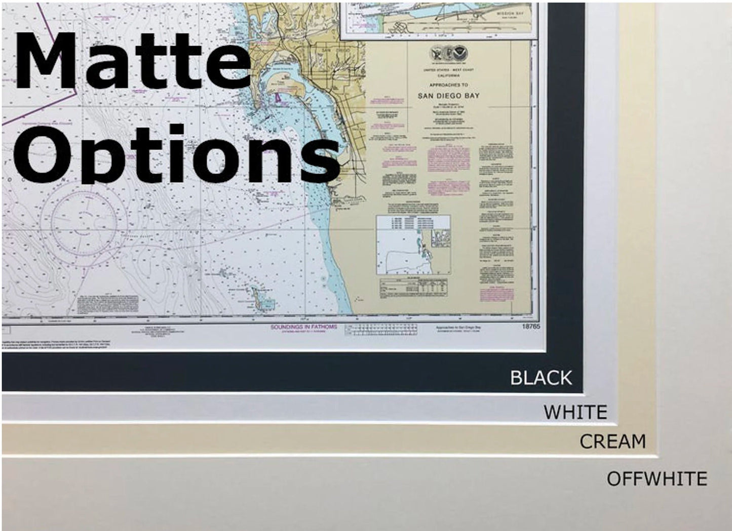
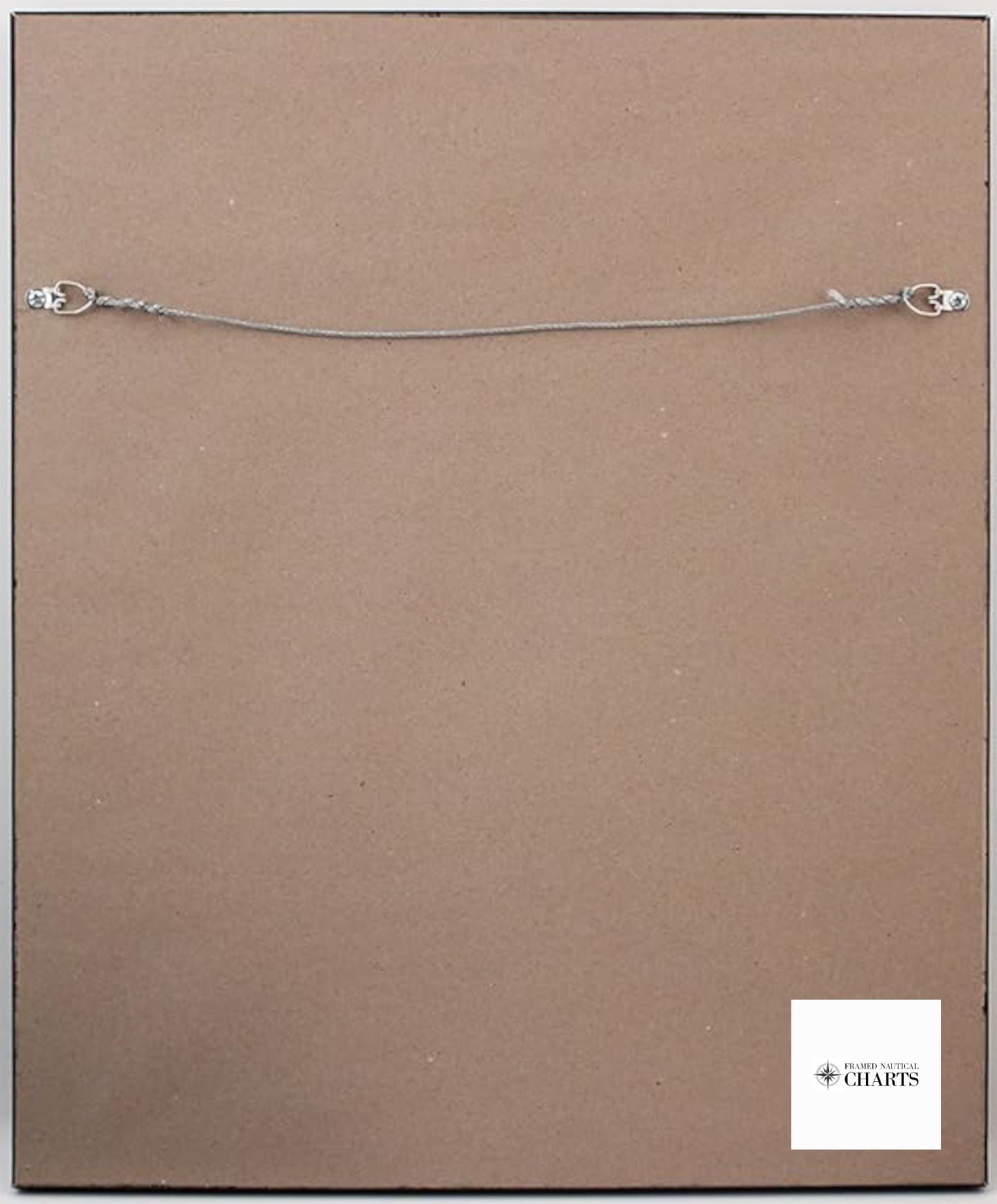
Each chart is custom handmade in the USA, exemplifying exceptional craftsmanship and attention to detail. The nautical map is elegantly presented in a solid wood frame and features a museum-quality print created with archival paper and inks for lasting clarity and vibrancy. Enhanced by a stylish black mat, the chart is protected behind a glass front for durability. The back of the frame is finished with a paper dust cover, and a wire hanger is included for easy wall mounting.
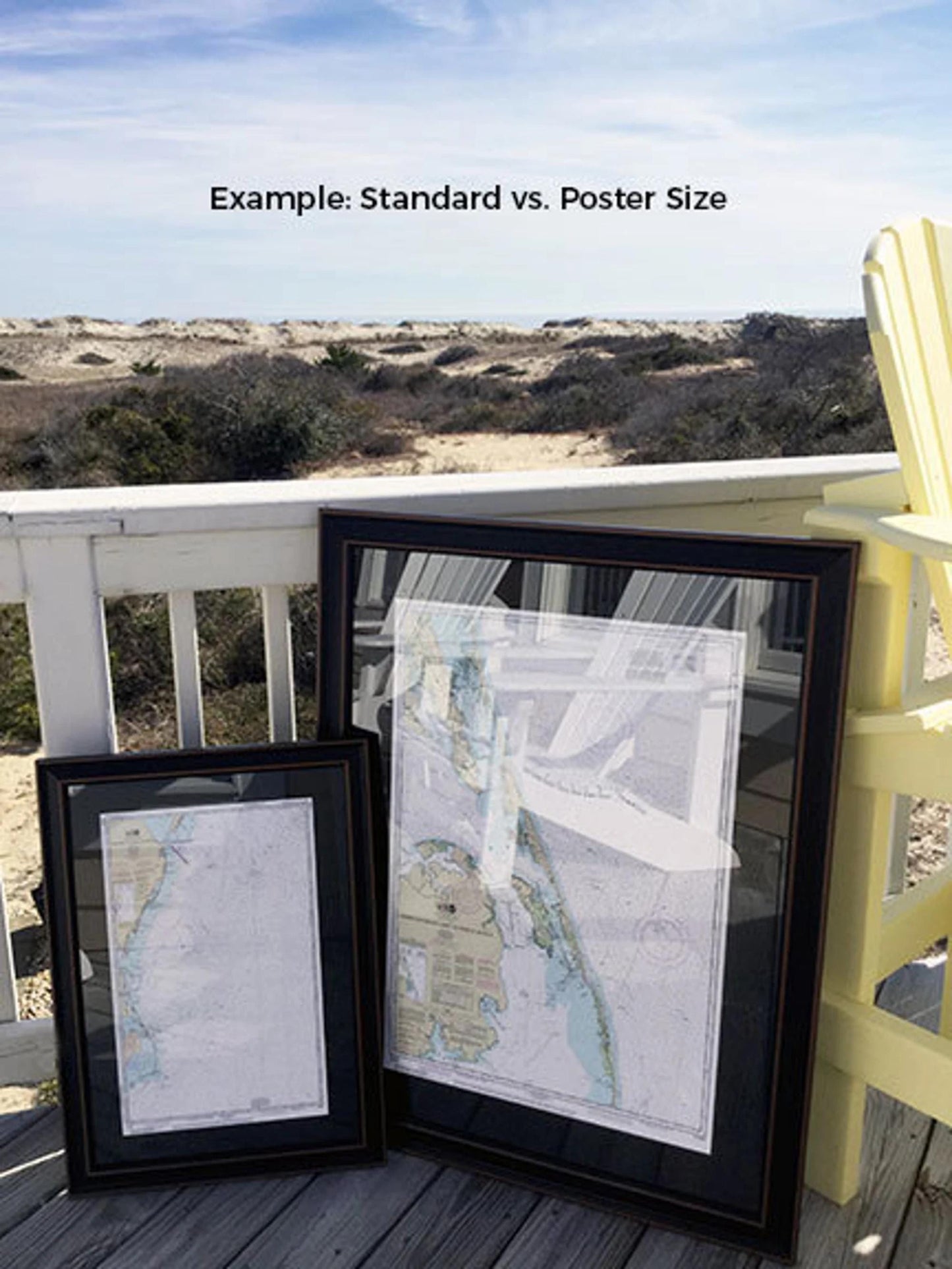
Our framed charts are available in two sizes:
- Standard size: approximately 21 1/4" W x 24" H
- Poster size: approximately 31 3/4" W x 36" H
If you have a specific frame option in mind, feel free to reach out with your request. We are happy to collaborate with you and welcome any sample photos to help us create your perfect piece.
*Important Shipping Note: We offer free ground shipping to the 48 contiguous states. While we do not inflate shipping costs, please contact us for custom shipping quotes to Alaska and Hawaii due to their higher shipping rates.
Share