Framed Nautical Charts
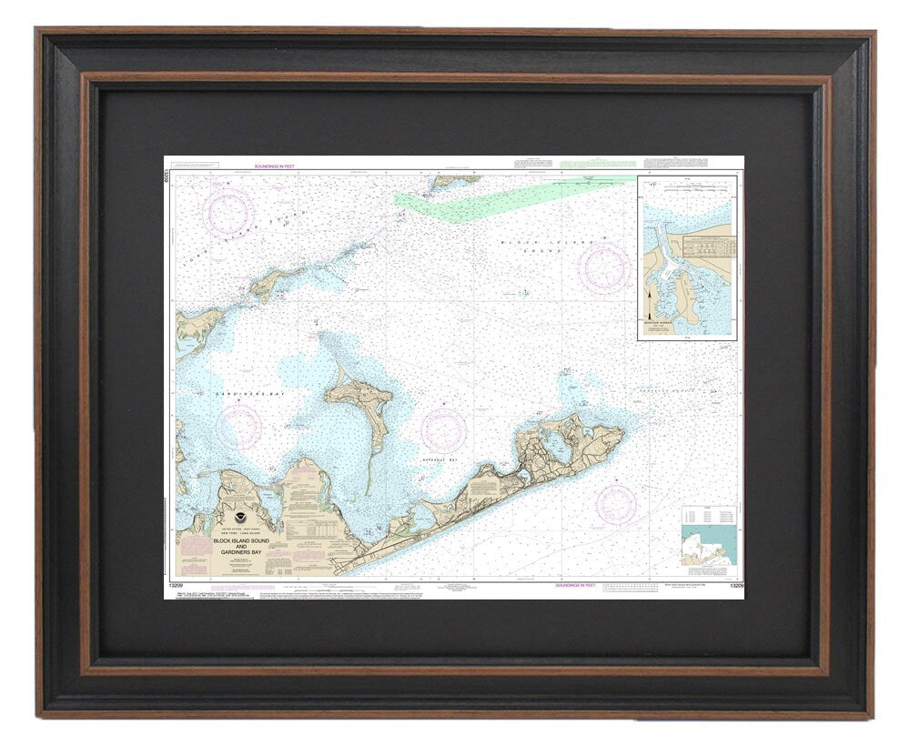
Framed Nautical Chart 13209 - Block Island Sound to Gardiner Bay. NOAA 13209. Handmade in the USA.
Framed Nautical Chart 13209 - Block Island Sound to Gardiner Bay. NOAA 13209. Handmade in the USA.
Couldn't load pickup availability
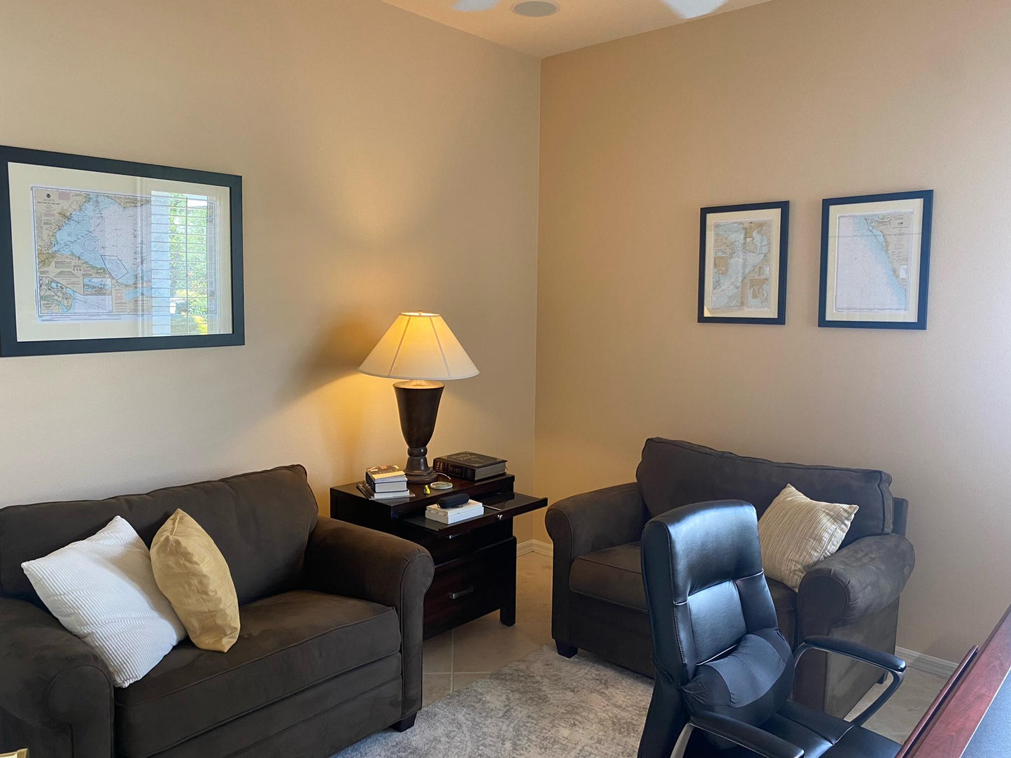
Discover the elegance of coastal charm with this beautifully framed nautical chart, showcasing the stunning region from Block Island Sound to Gardiner Bay. This official NOAA Nautical Chart 13209 illustrates the captivating coastlines of Long Island, Block Island Sound, Gardiner Bay, and Montauk, making it a perfect addition to any maritime enthusiast’s collection.
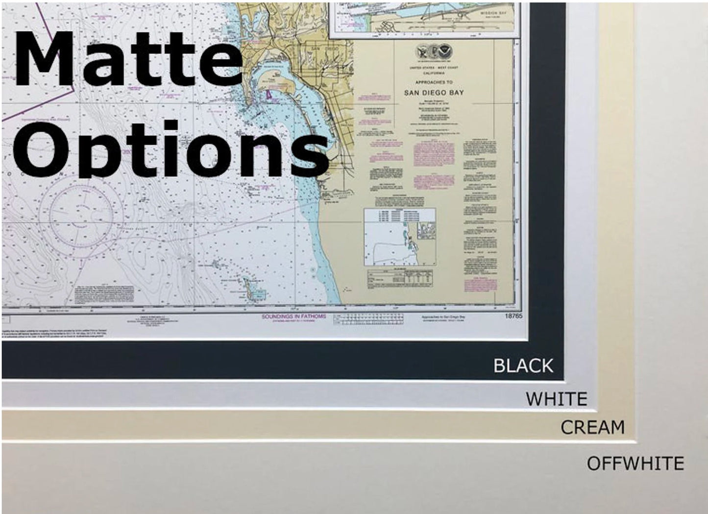
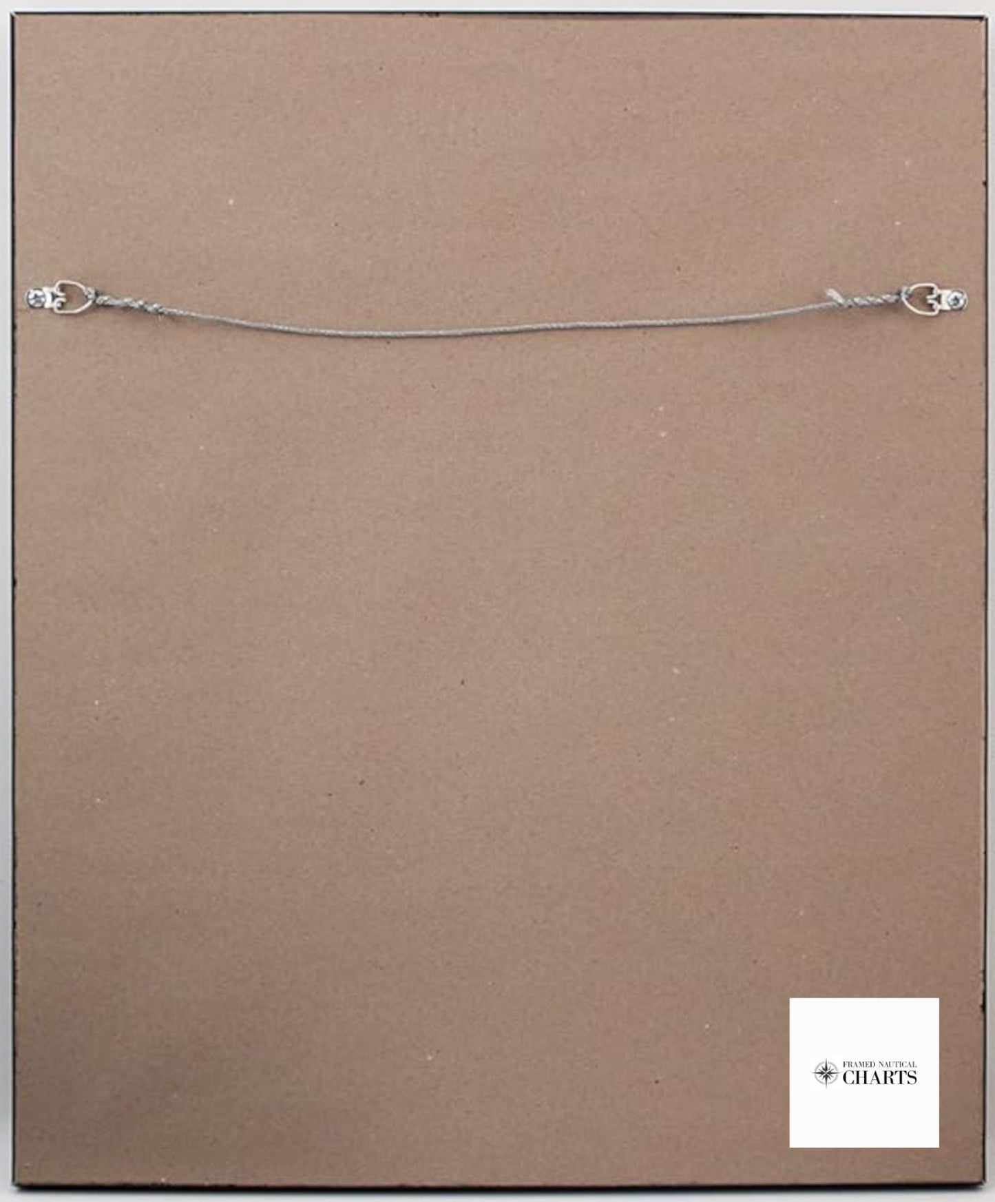
Each chart is meticulously handcrafted in the USA, reflecting exceptional craftsmanship and attention to detail. Presented in a solid wood frame, the chart features a museum-quality print on archival paper designed to stand the test of time, complemented by vibrant, fade-resistant inks. The design is enhanced with a black mat that elegantly accents the map, all while being protected by a durable glass front. The back is finished with a paper duster for a polished look, and it includes a wire hanger for easy installation.
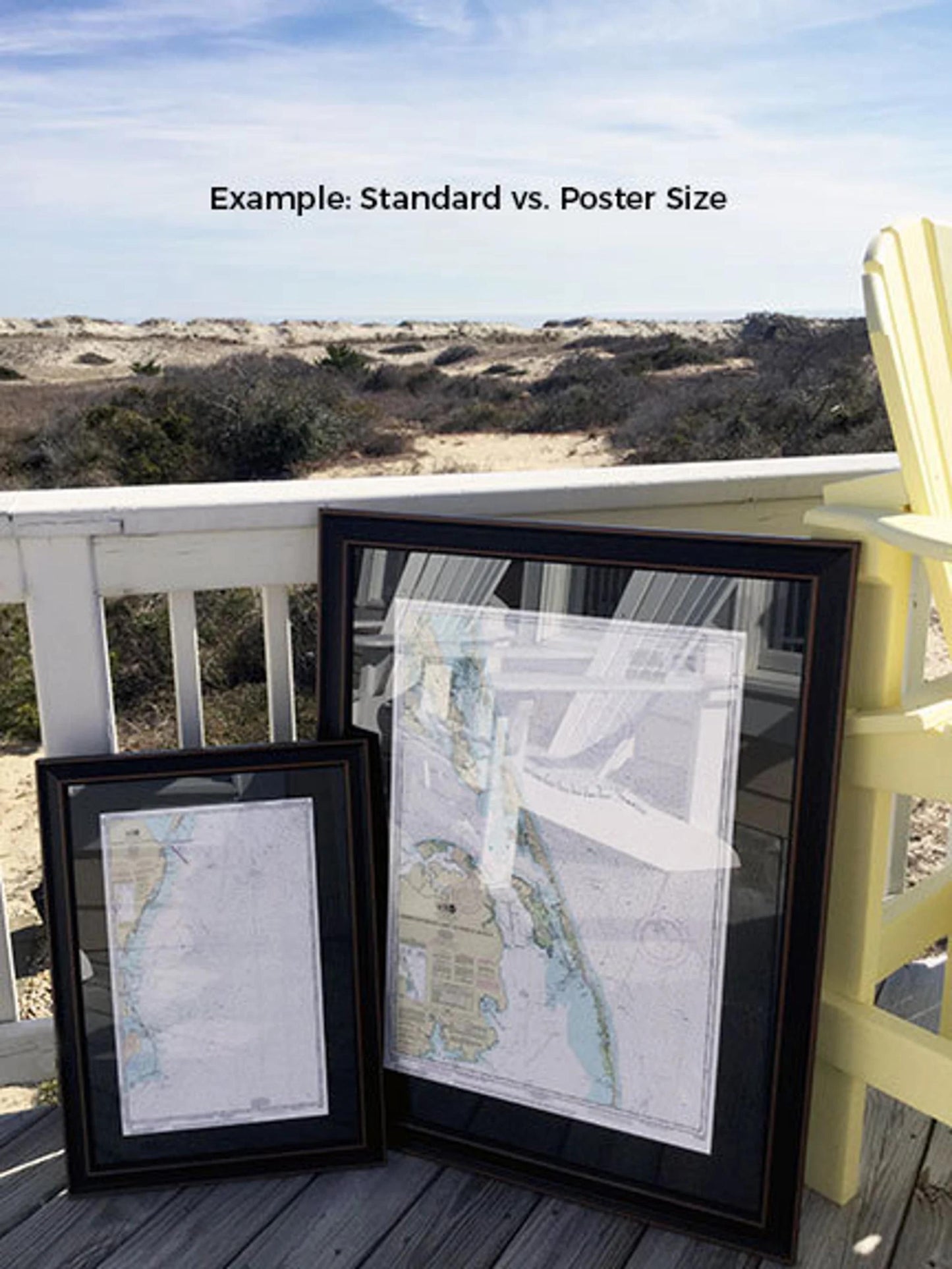
Available in two sizes to suit your space:
- Standard size: approximately 24" W x 18 1/2" H
- Poster size: approximately 36" W x 27 3/4" H
If you're interested in a custom frame option, please reach out with your request. We also welcome any sample photos you may have to guide us in creating your perfect piece.
*Important Shipping Note: Enjoy free ground shipping to the 48 contiguous states. While we do not inflate shipping costs, please contact us for custom shipping quotes for Alaska and Hawaii, as rates can vary significantly. Elevate your décor with this stunning nautical chart today!
Share