Framed Nautical Charts
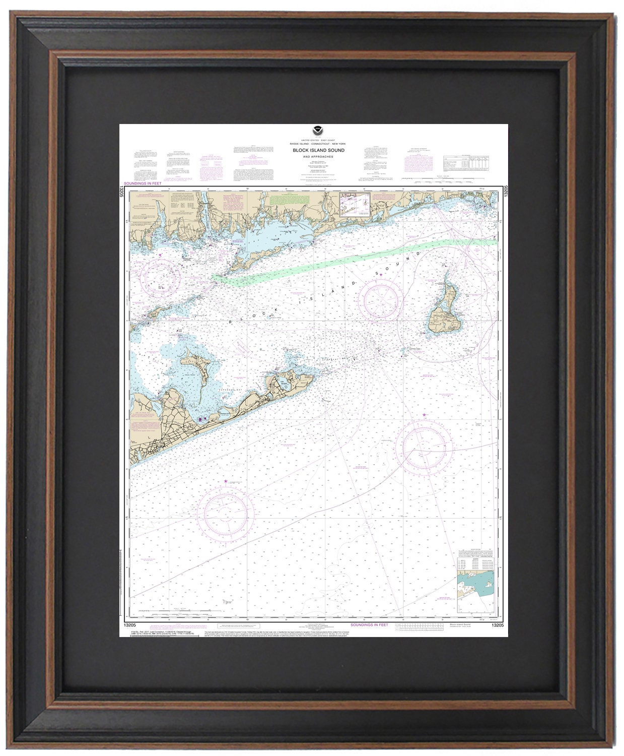
Framed Nautical Chart 13205 - Block Island Sound. NOAA 13205. Handmade in the USA.
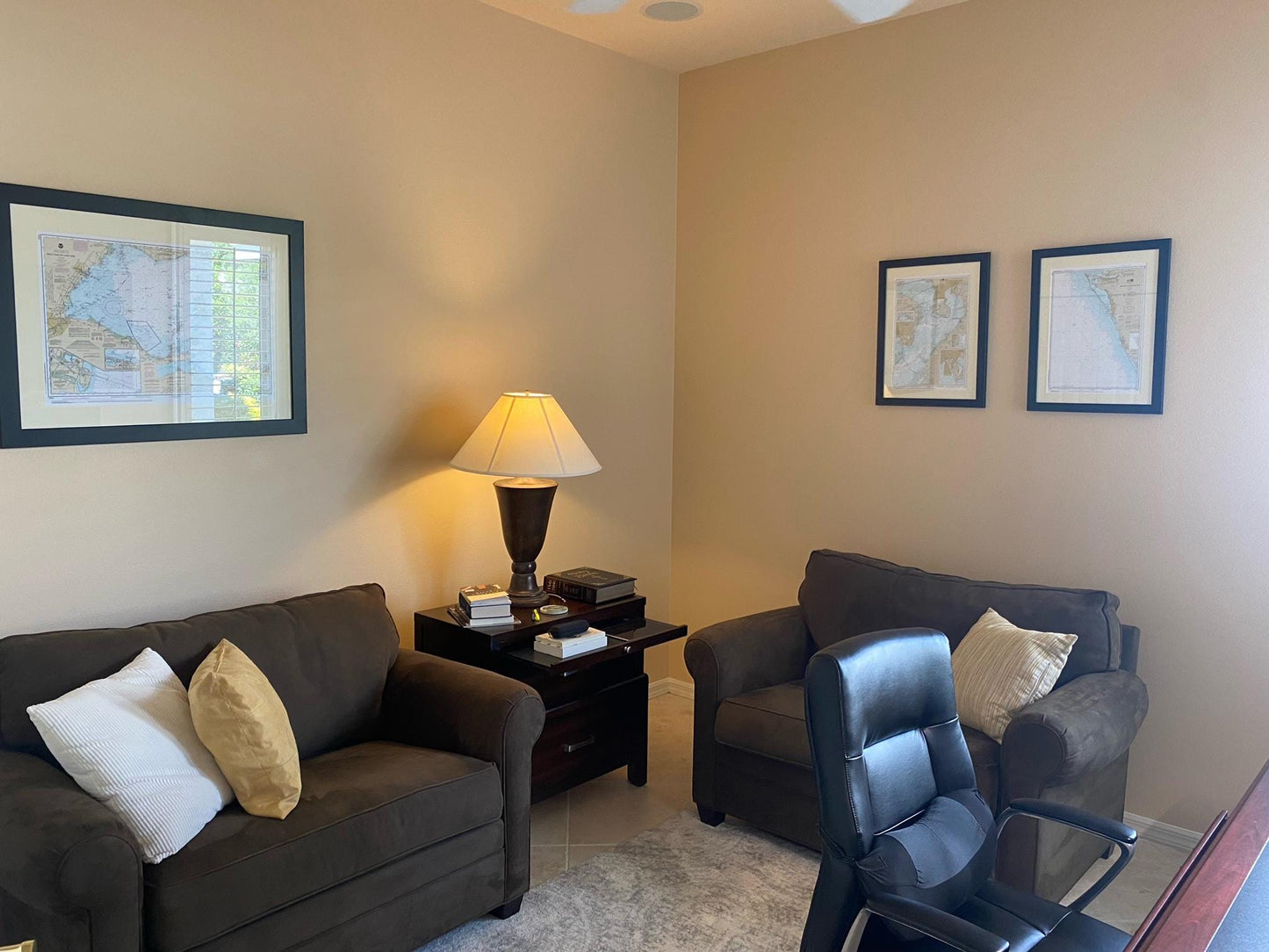
Framed Nautical Chart 13205 - Block Island Sound. NOAA 13205. Handmade in the USA.
Couldn't load pickup availability
Discover the beauty of Block Island Sound with this stunning Framed Nautical Chart (NOAA 13205). This meticulously crafted nautical map showcases the intricate waters and coastline of Block Island Sound, including the serene Long Island Sound, Fisher's Sound, Gardiner's Island, Montauk Point, and numerous charming towns and harbors.
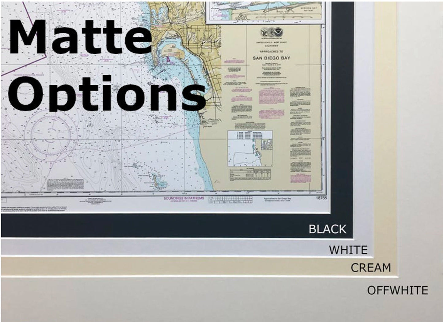
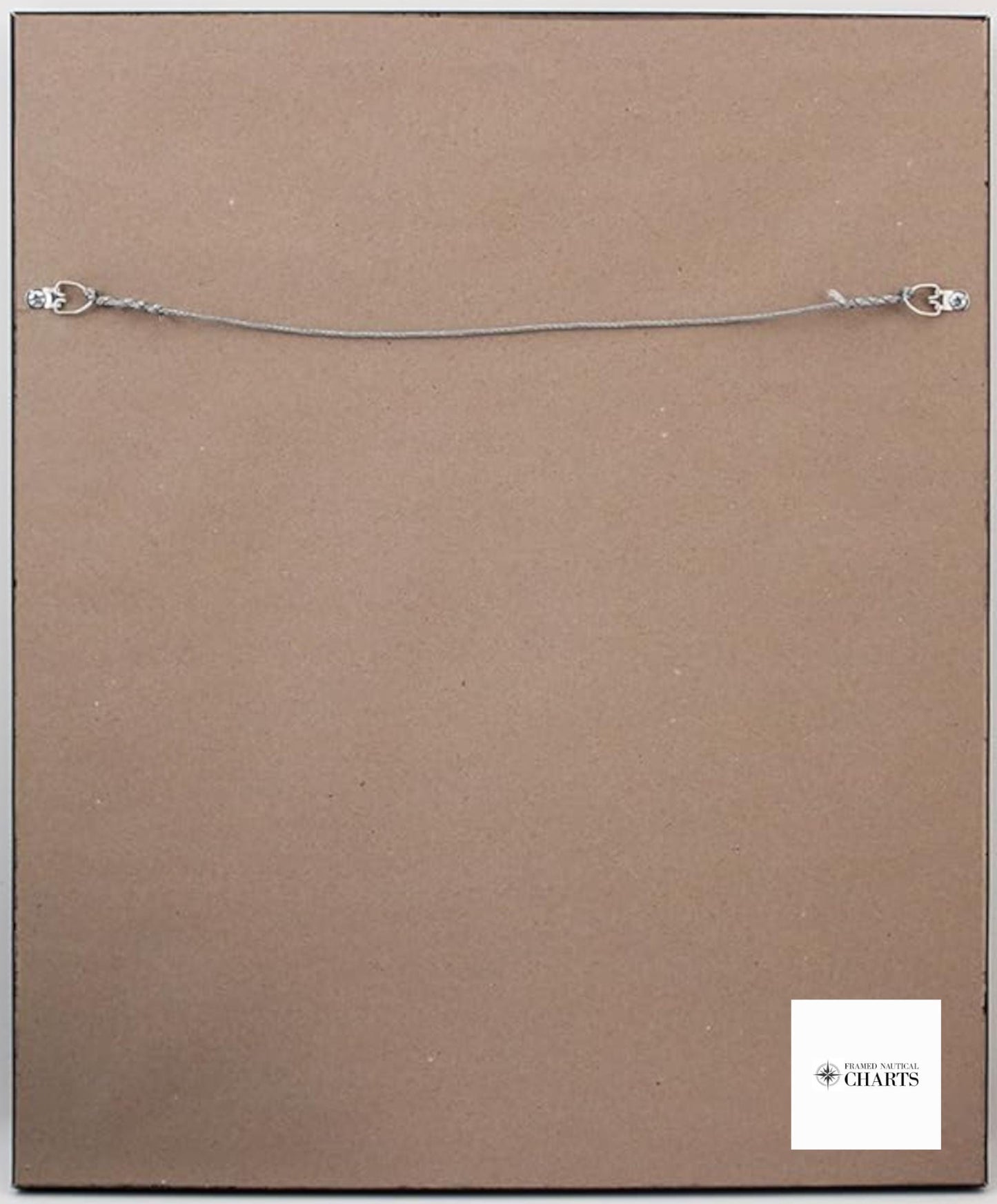
Each chart is custom-made in the USA, ensuring exceptional craftsmanship and quality. The nautical chart is presented in a solid wood frame that enhances its aesthetic appeal, featuring a museum-quality print crafted from archival paper and inks for longevity. The design is complemented by a sleek black mat and protected with a durable glass front, while the back is finished with a paper duster for a polished look. For easy hanging, a wire hanger is included.
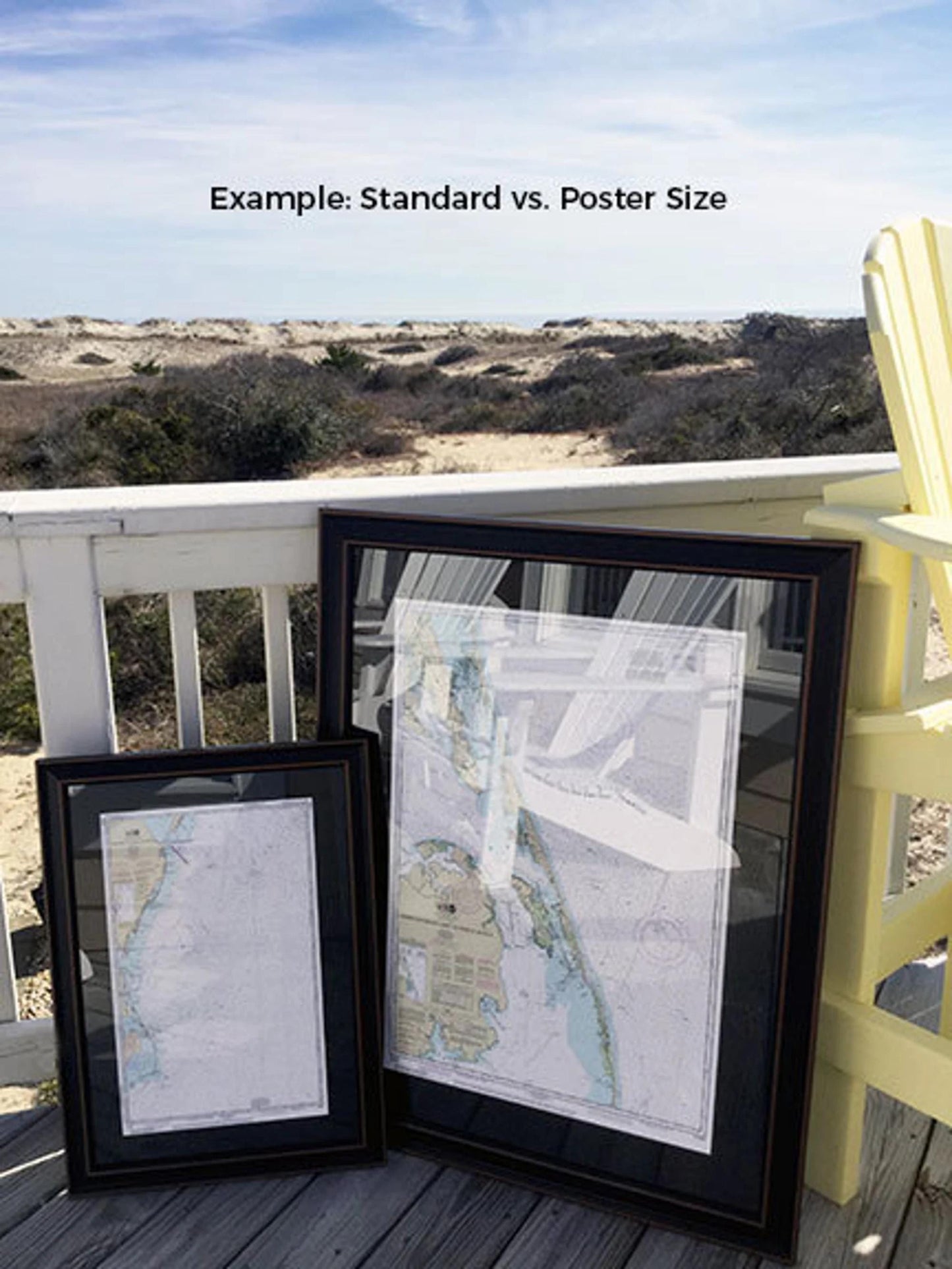
Available in two sizes:
- Standard size: approximately 17 1/4" W x 24" H
- Poster size: approximately 26" W x 36" H
If you have a specific frame style in mind, please don't hesitate to reach out with your ideas. We welcome sample photos to help bring your vision to life.
*Important Shipping Note: Free ground shipping is available for deliveries within the 48 contiguous states. We do not inflate shipping costs; however, due to the higher shipping rates to Alaska and Hawaii, please contact us for a customized shipping quote.
Share