Framed Nautical Charts
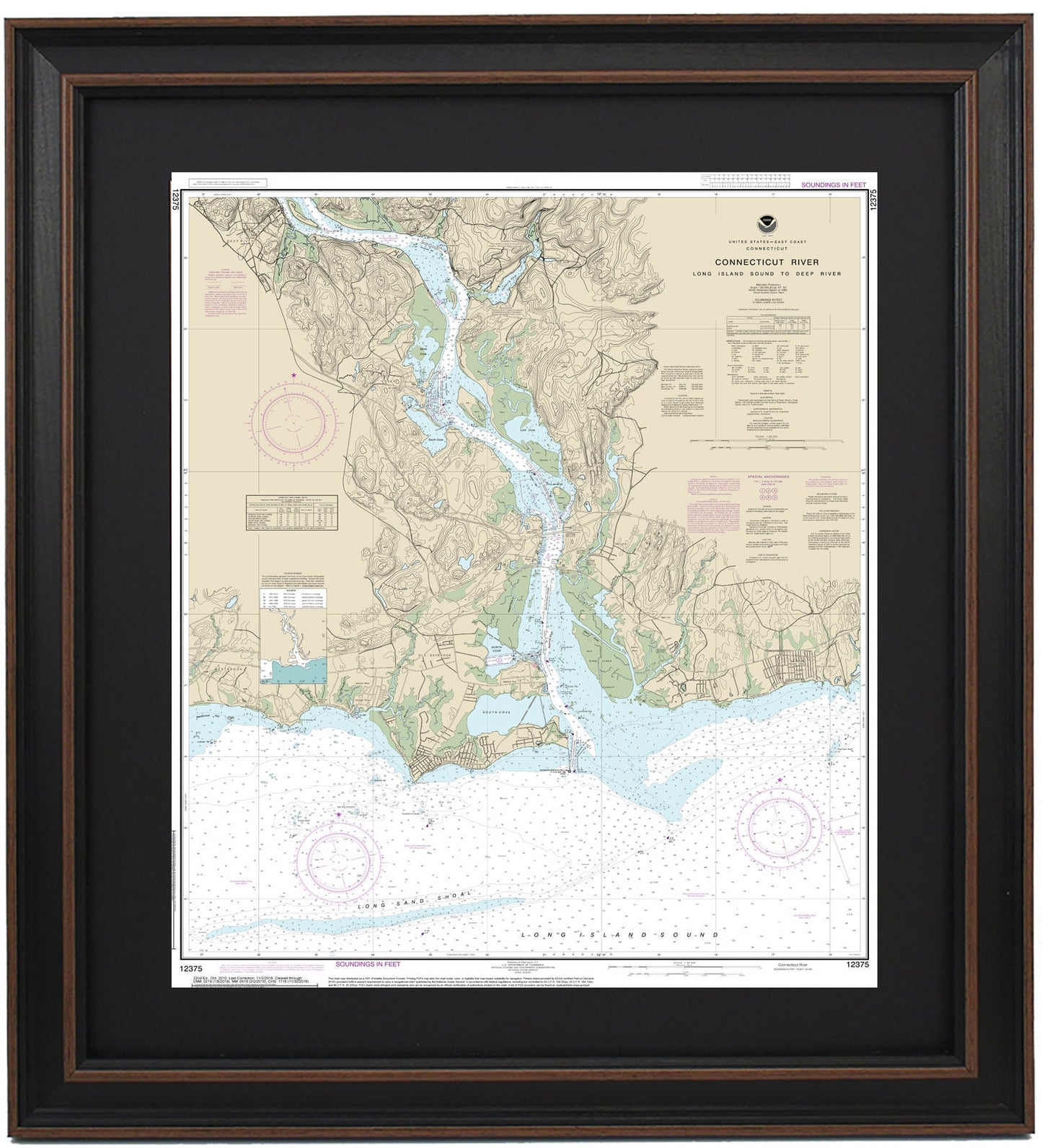
Framed Nautical Chart 12375 - Connecticut River. Long Island Sound to Deep River. NOAA 12375. Handmade in the USA.
Framed Nautical Chart 12375 - Connecticut River. Long Island Sound to Deep River. NOAA 12375. Handmade in the USA.
Couldn't load pickup availability
Explore the stunning waters and coastline of the Connecticut River with this beautifully framed nautical chart, covering Long Island Sound to Deep River. This officially licensed NOAA Nautical Chart 12375 showcases essential details of the Connecticut River, including notable locations such as Deep River, Essex, and Old Saybrook.
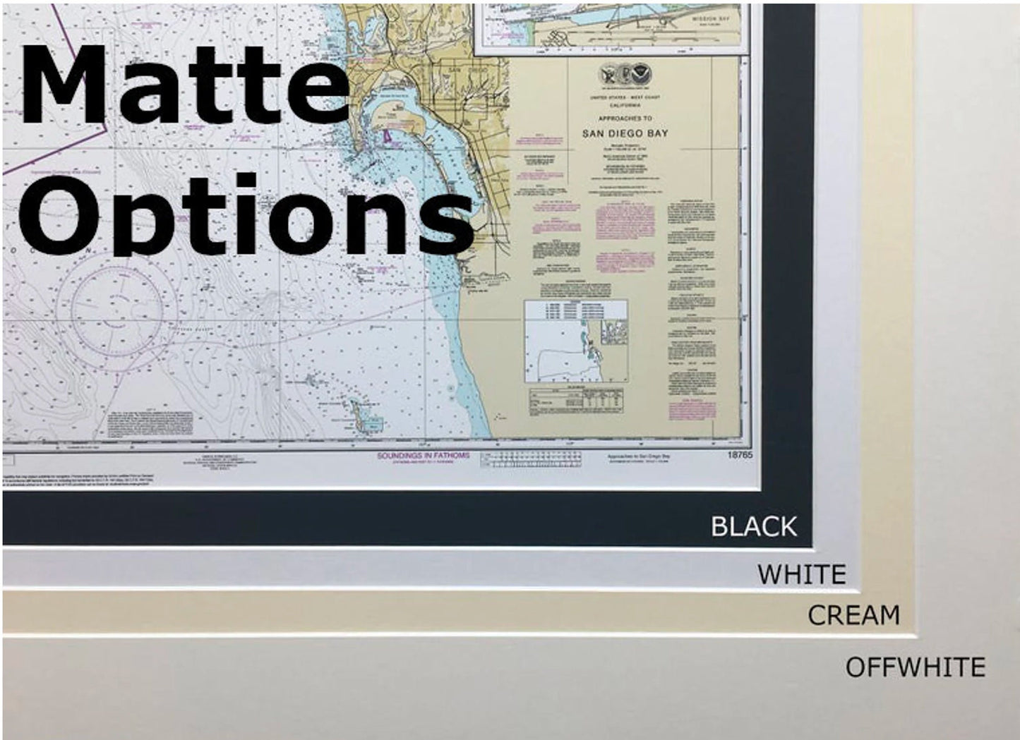
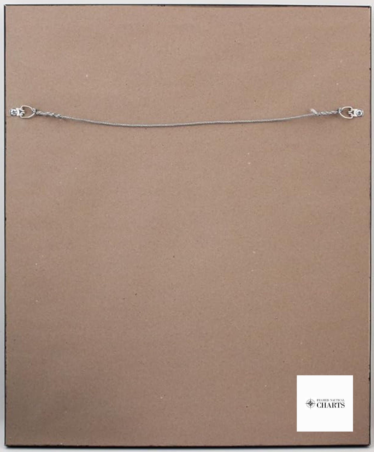
Handcrafted with care in the USA, each chart exemplifies exceptional craftsmanship and quality. It comes elegantly framed in solid wood, featuring a museum-quality print made from archival paper and inks to ensure longevity. The artwork is enhanced by a sleek black mat and protected by a glass front, allowing you to appreciate the intricate details of the chart without compromise. The back is finished with a paper duster for a polished look, and a wire hanger is included for easy installation.
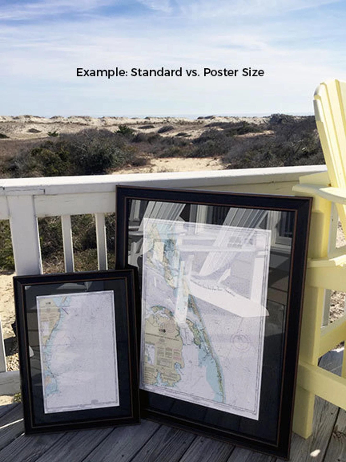
Available in two sizes, this framed chart can enhance any space:
-standard size has outer frame dimensions of approximately 20" W x 24" H
-poster size measures has outer frame dimensions of approximately 30" W x 36" H
If you have specific preferences for framing or would like a different option, please don’t hesitate to contact us. We value your input and would be delighted to collaborate with you to create the perfect piece that aligns with your vision.
*Important Shipping Note: Free ground shipping is available for shipments to the 48 contiguous states. We do not inflate shipping costs; however, due to higher shipping rates to Alaska and Hawaii, please reach out for custom shipping quotes.
Share