Framed Nautical Charts
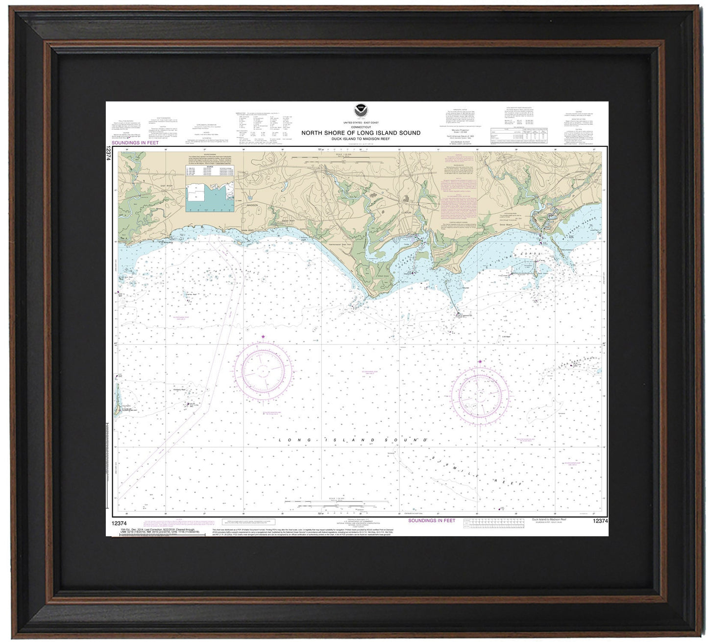
Framed Nautical Chart 12374 - North Shore of Long Island Sound. Duck Island to Madison Reef. NOAA 12374. Handmade in the USA.
Framed Nautical Chart 12374 - North Shore of Long Island Sound. Duck Island to Madison Reef. NOAA 12374. Handmade in the USA.
Couldn't load pickup availability
Presenting a beautifully framed nautical chart that showcases the stunning North Shore of Long Island Sound, specifically from Duck Island to Madison Reef. This officially licensed NOAA Nautical Chart (No. 12374) provides a detailed depiction of the waters and coastlines, featuring notable locations such as Duck Island, Duck Island Roads, Clinton Harbor, Madison, and several charming towns and harbors along the way.
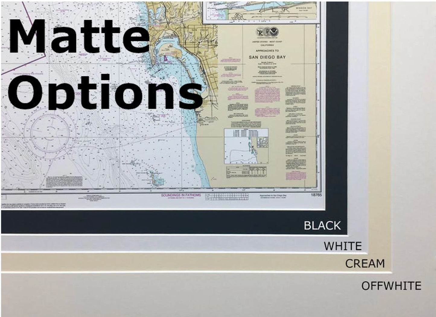
Each chart is meticulously handmade in the USA, ensuring superior craftsmanship and attention to detail. The map is elegantly displayed in a solid wood frame, complemented by a museum-quality print created with archival paper and inks for lasting durability. It features a sophisticated black mat and is protected by a glass front for optimal display. The back of the frame is finished with a paper dust cover, and a wire hanger is included for effortless installation.
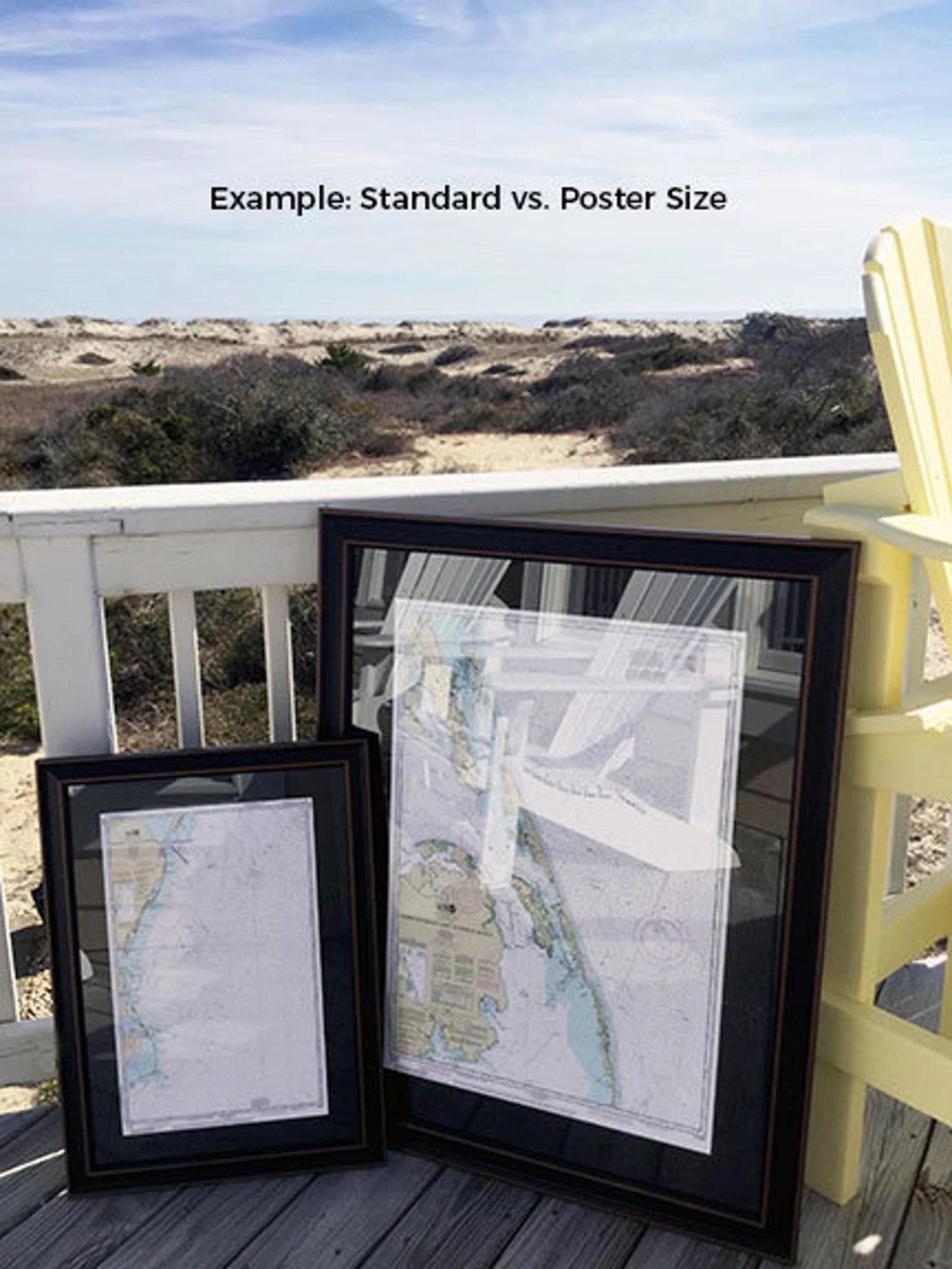
Available in two convenient sizes:
- Standard size: Outer frame dimensions approximately 20 3/4" H x 24" W
- Poster size: Outer frame dimensions approximately 31 1/4" H x 36" W
If you have specific framing preferences, please feel free to reach out with your request. We are happy to collaborate with you to create the perfect presentation of your nautical chart.
*Important Shipping Note: Free ground shipping is offered for deliveries within the 48 contiguous states. We pride ourselves on transparent pricing and do not inflate shipping costs. For shipments to Alaska and Hawaii, please contact us for a personalized shipping quote.
Share