Framed Nautical Charts
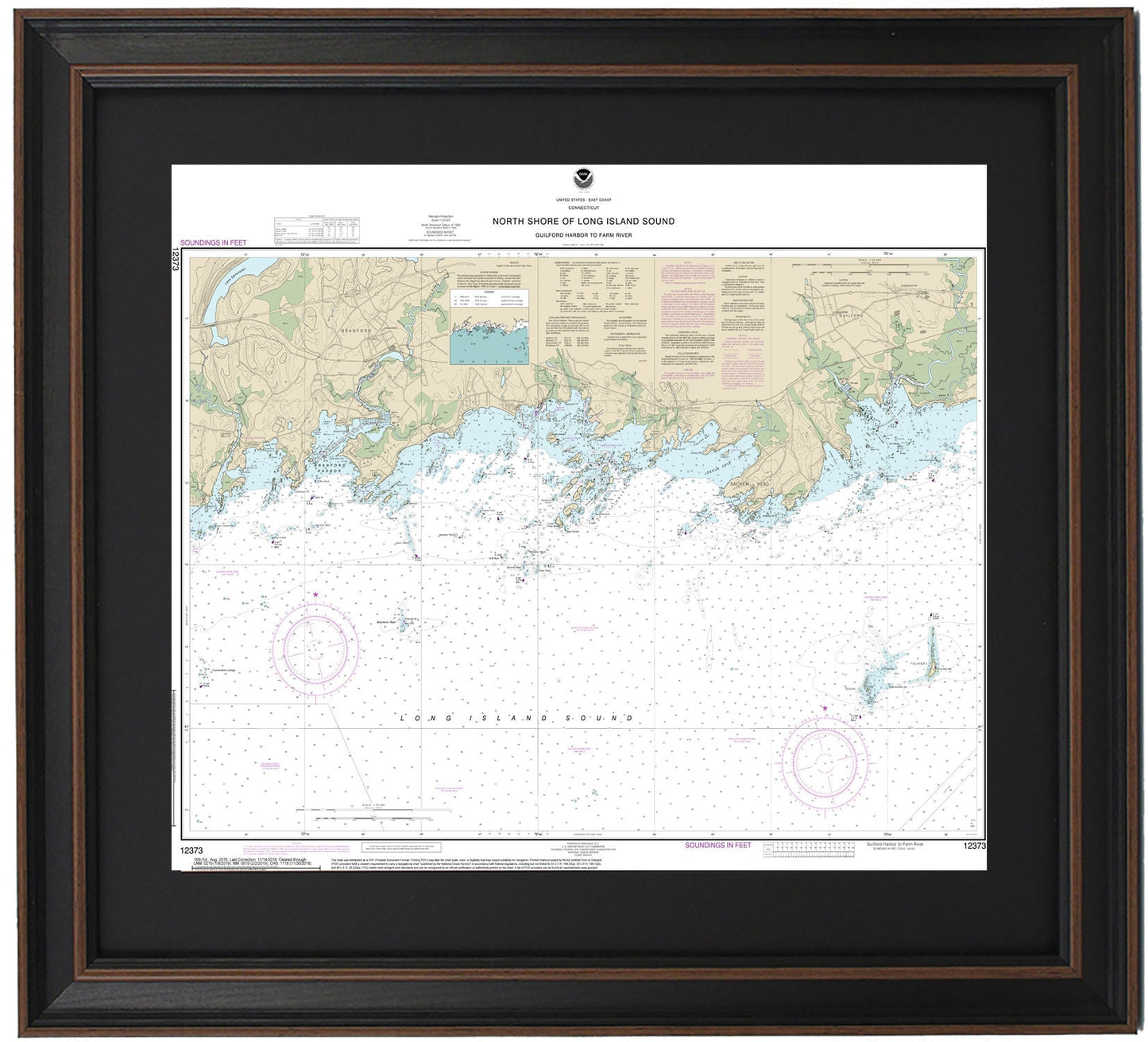
Framed Nautical Chart 12373 - North Shore of Long Island Sound. Guilford Harbor to Farm Harbor. NOAA 12373. Handmade in the USA.
Framed Nautical Chart 12373 - North Shore of Long Island Sound. Guilford Harbor to Farm Harbor. NOAA 12373. Handmade in the USA.
Couldn't load pickup availability
Discover the beauty of the North Shore of Long Island Sound with our exquisite Framed Nautical Chart 12373, which covers the waters from Guilford Harbor to Farm Harbor. This official NOAA Nautical Chart meticulously details the picturesque coastline and harbors of Long Island Sound, including Branford Harbor, Indian Neck, The Thimbles, Sachem Head, and many charming towns along the shore.
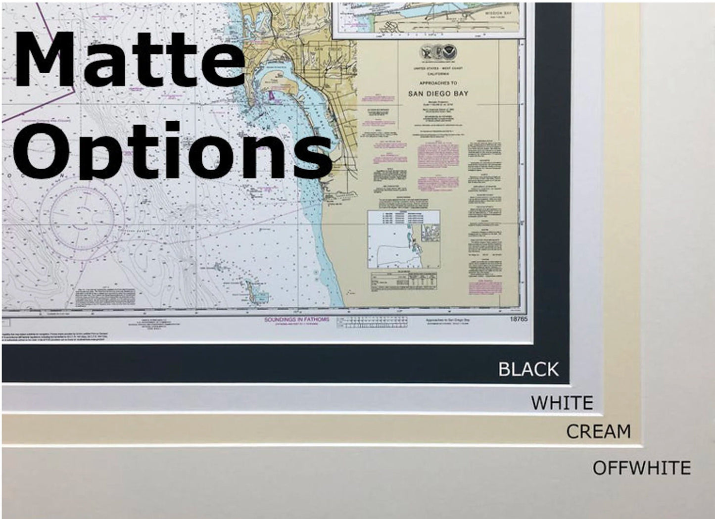
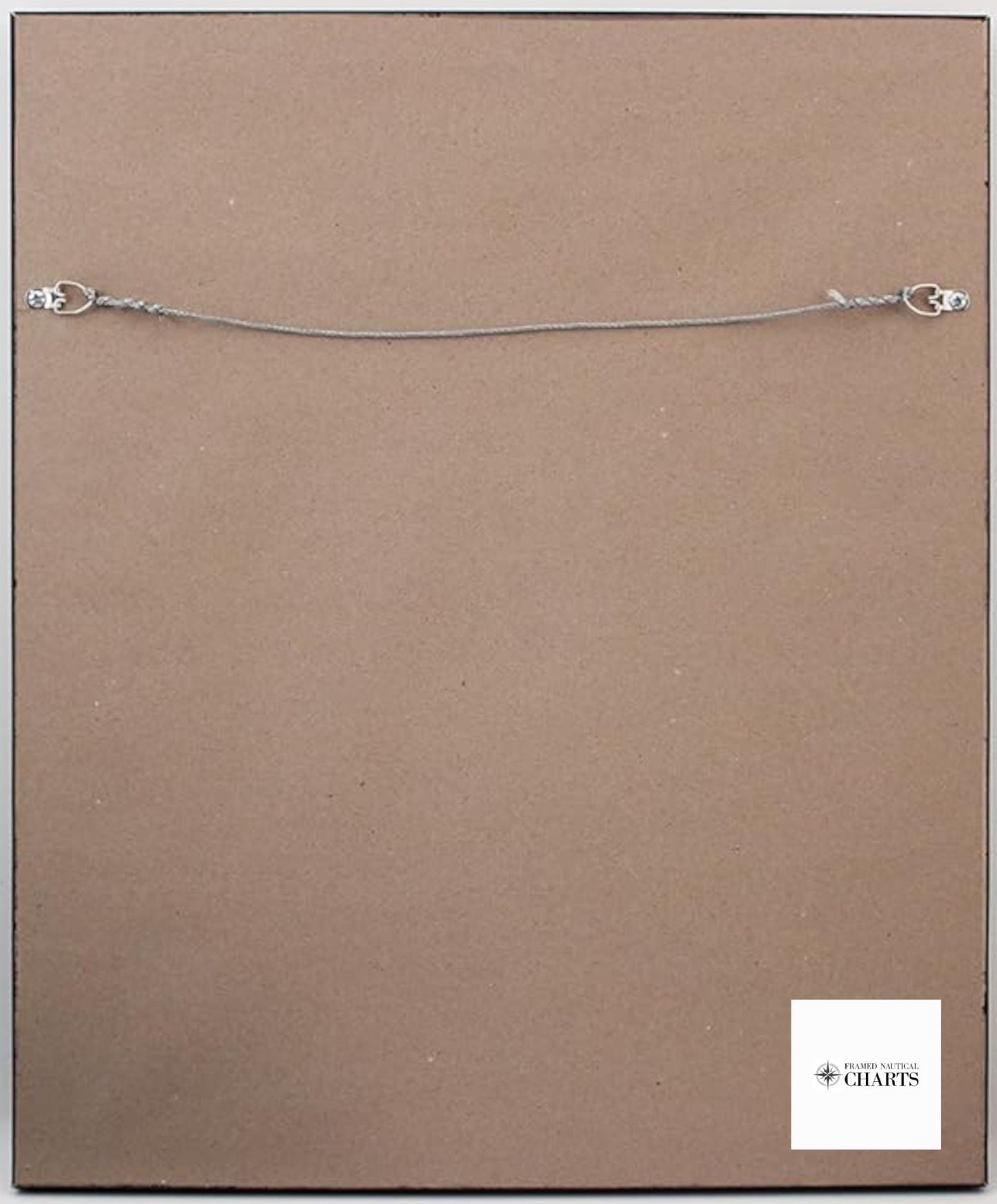
Each chart is custom-made in the USA, showcasing exceptional craftsmanship. It is elegantly presented in a sturdy solid wood frame, featuring a museum-quality print on archival paper using durable inks. The chart is bordered by an elegant black mat and protected by a glass front, ensuring a refined look and longevity. The back is finished with a paper duster, and a wire hanger is included for easy installation.
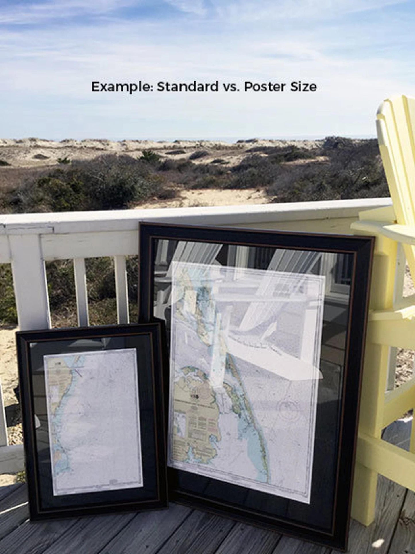
Choose from two frame sizes to suit your space:
- Standard size: outer frame dimensions approximately 19 1/2" H x 24" W
- Poster size: outer frame dimensions approximately 29 1/4" H x 36" W
If you have a specific frame style in mind, please reach out to us; we would love to collaborate to create your ideal piece.
*Important Shipping Note: Free ground shipping is available only for orders shipped to the 48 contiguous states. We do not impose additional shipping costs, but due to higher rates for shipping to Alaska and Hawaii, please contact us for a custom shipping quote.
Share