Framed Nautical Charts
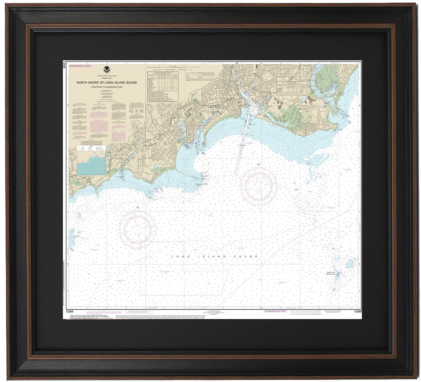
Framed Nautical Chart 12369 - North Shore of Long Island Sound. Stratford to Sherwood Point. NOAA 12369. Handmade in the USA.
Framed Nautical Chart 12369 - North Shore of Long Island Sound. Stratford to Sherwood Point. NOAA 12369. Handmade in the USA.
Couldn't load pickup availability
Discover the beauty of the North Shore of Long Island Sound with this exquisite framed nautical chart, showcasing the area from Stratford to Sherwood Point (NOAA 12369). This detailed chart highlights the stunning coastline and waters of Long Island Sound, featuring notable locations such as Stamford, East Bridgeport, Bridgeport, Fairfield, Southport, and many other charming towns and harbors.
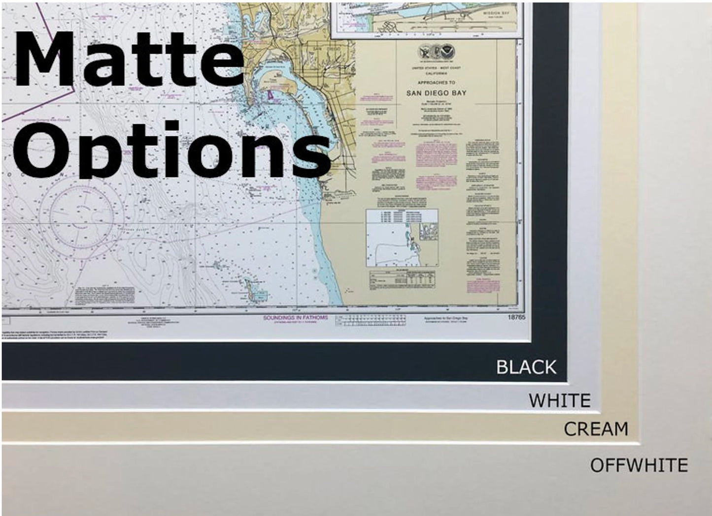
Handcrafted in the USA, each nautical map is a testament to superior craftsmanship. The chart is presented in a solid wood frame, accompanied by a museum-quality print made from archival paper and inks, ensuring longevity and vibrancy. The addition of a black mat and a protective glass front enhances its elegance, while the back is finished with a paper duster for a polished look. A convenient wire hanger is included for easy installation.
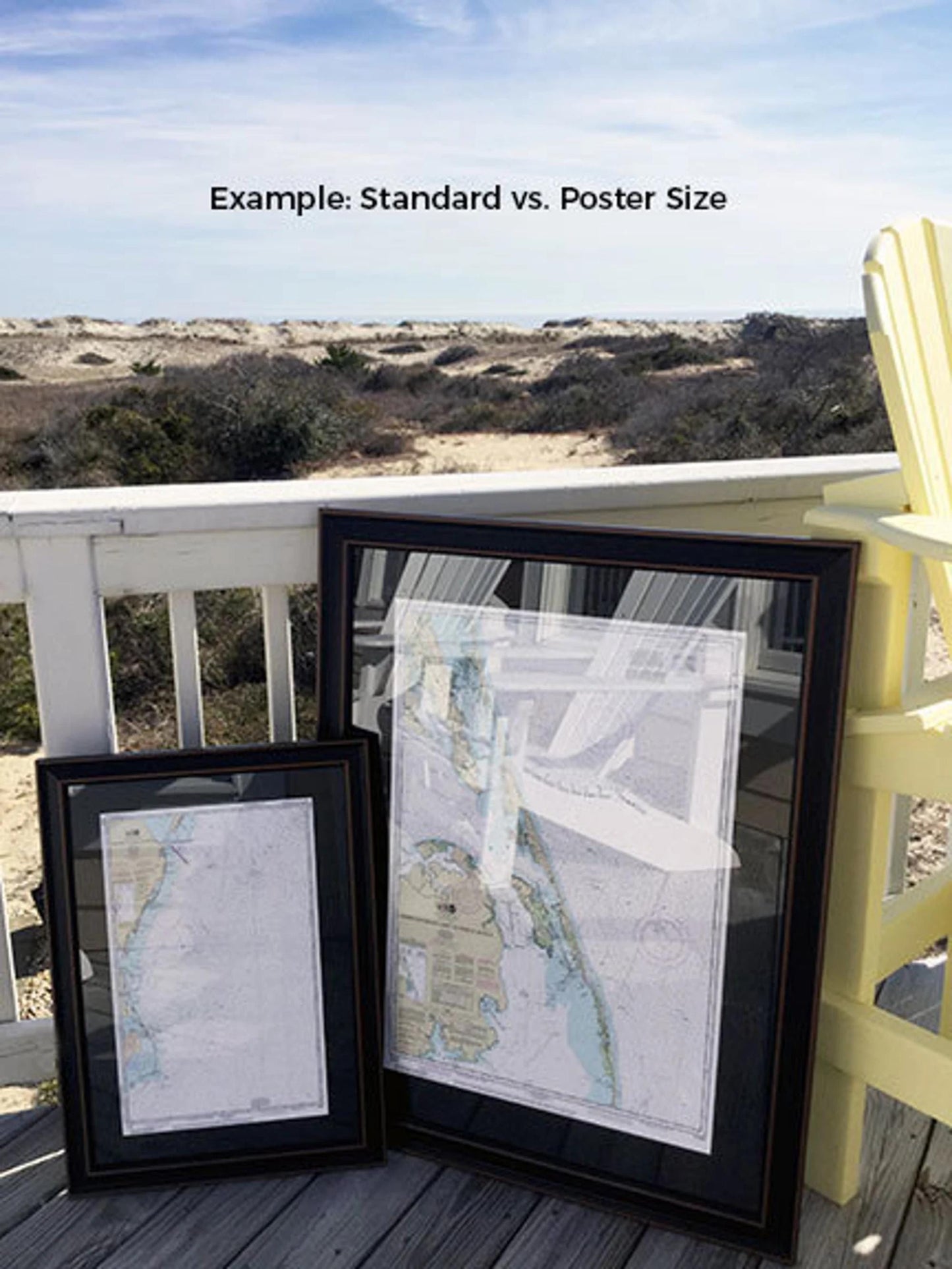
Choose from two frame sizes:
- Standard size: Approx. 20" H x 24" W
- Poster size: Approx. 30" H x 36" W
If you have a specific frame style in mind, feel free to reach out with your request—we're happy to work with you to create the perfect piece that aligns with your vision.
*Important Shipping Note: Free ground shipping is available for shipments within the 48 contiguous states. We do not increase shipping costs, but due to the elevated shipping rates to Alaska and Hawaii, please contact us for a custom shipping quote.
Share