Framed Nautical Charts
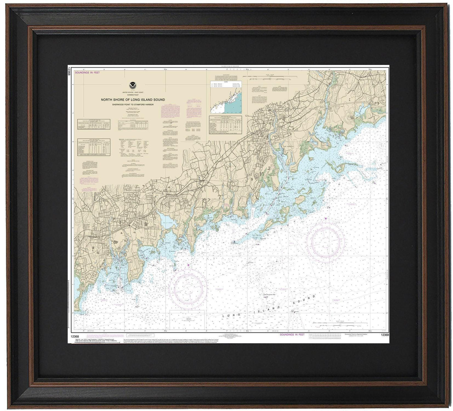
Framed Nautical Chart 12368 - North Shore of Long Island Sound. Sherwood Point to Stamford Harbor. NOAA 12368. Handmade in the USA.
Framed Nautical Chart 12368 - North Shore of Long Island Sound. Sherwood Point to Stamford Harbor. NOAA 12368. Handmade in the USA.
Couldn't load pickup availability
Discover the beauty of the North Shore of Long Island Sound with our exquisite Framed Nautical Chart, which spans from Sherwood Point to Stamford Harbor (NOAA Chart 12368). This meticulously crafted nautical map highlights the stunning coastline and waters of Long Island Sound, including notable landmarks such as Stamford Harbor, Norwalk Islands, Norwalk Harbor, and Cockenoe Harbor.
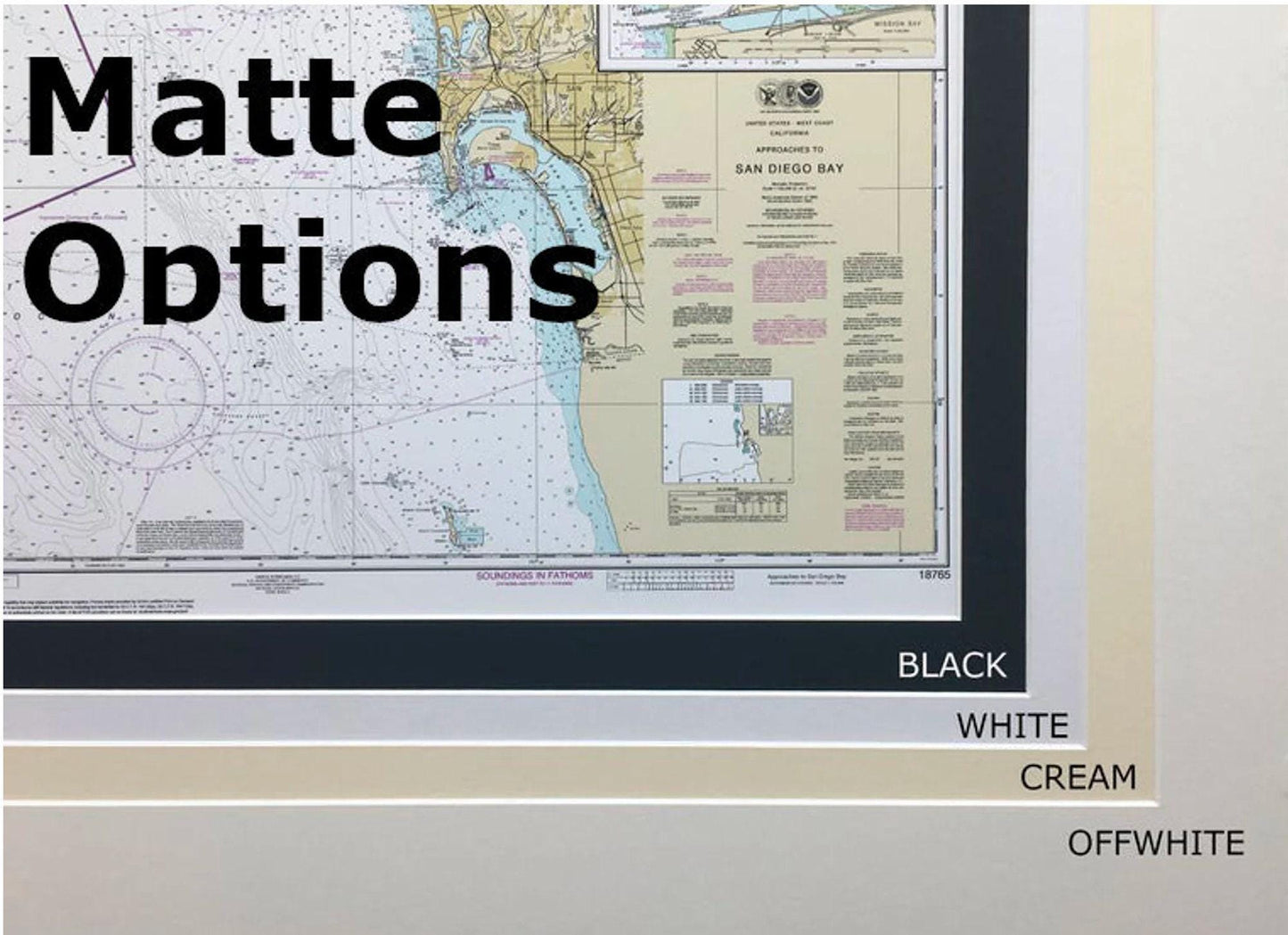
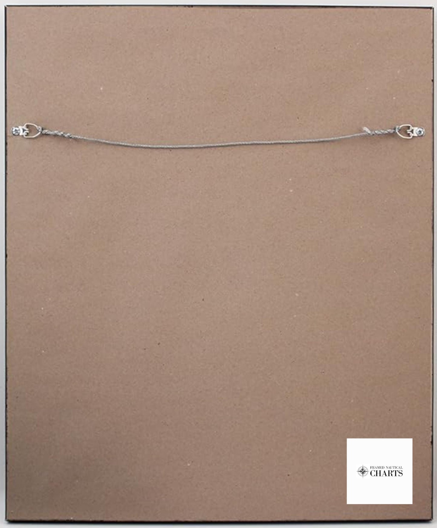
Each chart is handmade in the USA, ensuring a high standard of craftsmanship. It is beautifully presented in a solid wood frame and features a museum-quality print created from archival-grade paper and inks. The design includes a stylish black mat and is protected by a durable glass front. The back is elegantly finished with a paper duster, and a wire hanger is included for easy installation.
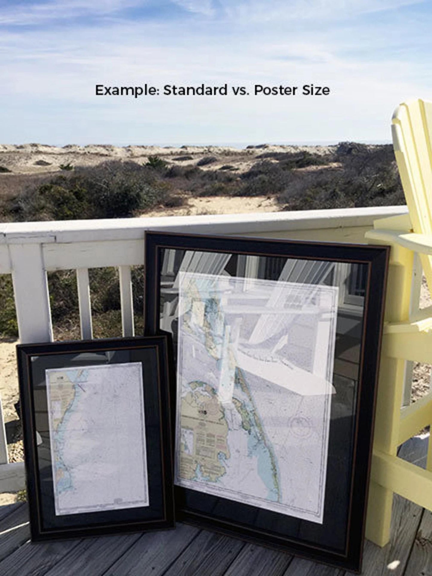
Choose from two frame sizes:
- Standard size with outer frame dimensions of approximately 19 1/2" H x 24" W
- Poster size with outer frame dimensions of approximately 29 1/2" H x 36" W
If you're seeking a different frame option, please don’t hesitate to contact us with your specifications. We welcome sample photos to help us create the perfect piece that reflects your vision.
*Important Shipping Note: We offer free ground shipping for deliveries within the 48 contiguous states. We never mark up shipping costs; however, shipping to Alaska and Hawaii can be costly. Please reach out for custom shipping quotes.
Share