Framed Nautical Charts
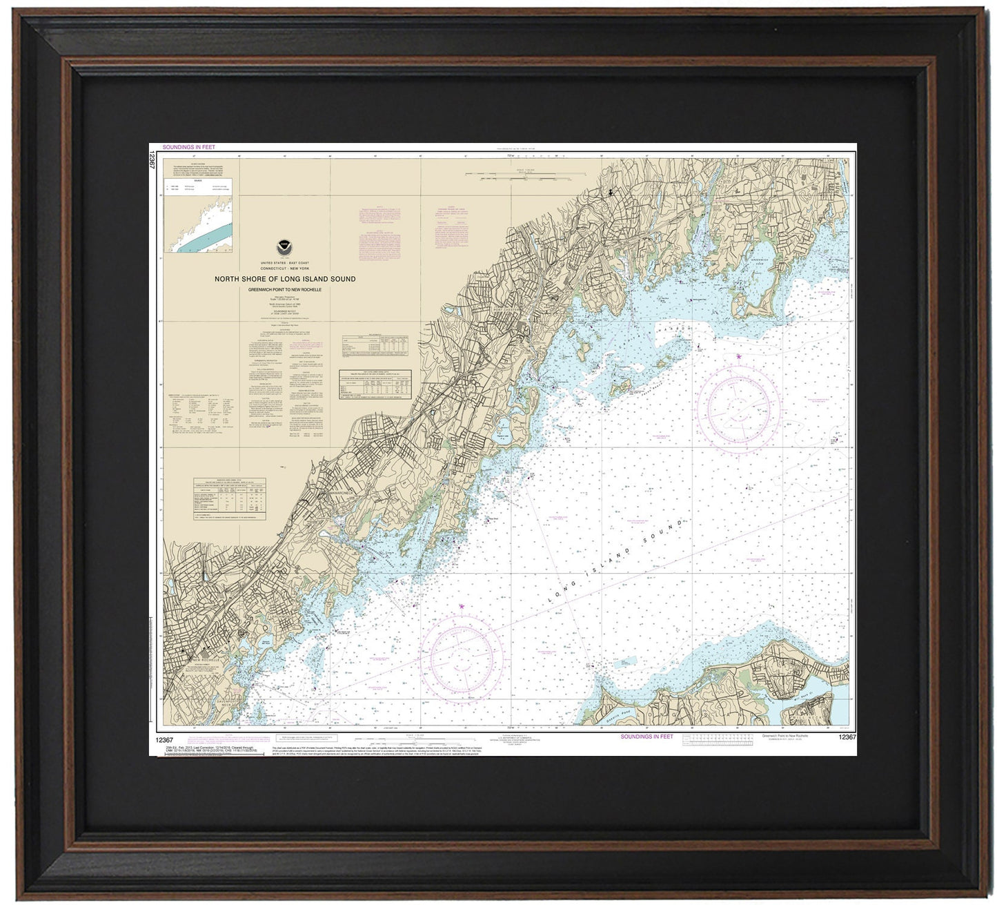
Framed Nautical Chart 12367 - North Shore of Long Island Sound. Greenwich Point to New Rochelle. NOAA 12367. Handmade in the USA.
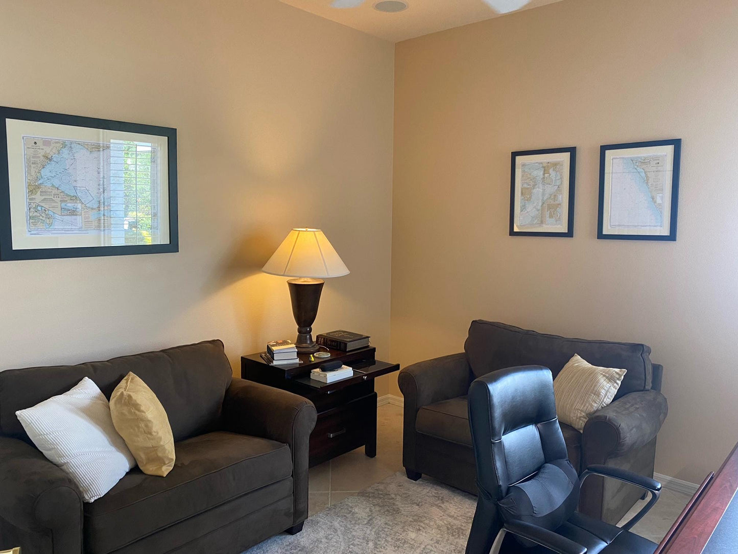
Framed Nautical Chart 12367 - North Shore of Long Island Sound. Greenwich Point to New Rochelle. NOAA 12367. Handmade in the USA.
Couldn't load pickup availability
Discover the exquisite Framed Nautical Chart showcasing the North Shore of Long Island Sound, from Greenwich Point to New Rochelle. This official NOAA Nautical Chart, numbered 12367, intricately details the stunning waters and coastline of this beautiful region, including notable towns and harbors such as New Rochelle, Mamaroneck, Port Chester, Greenwich, and Stamford.
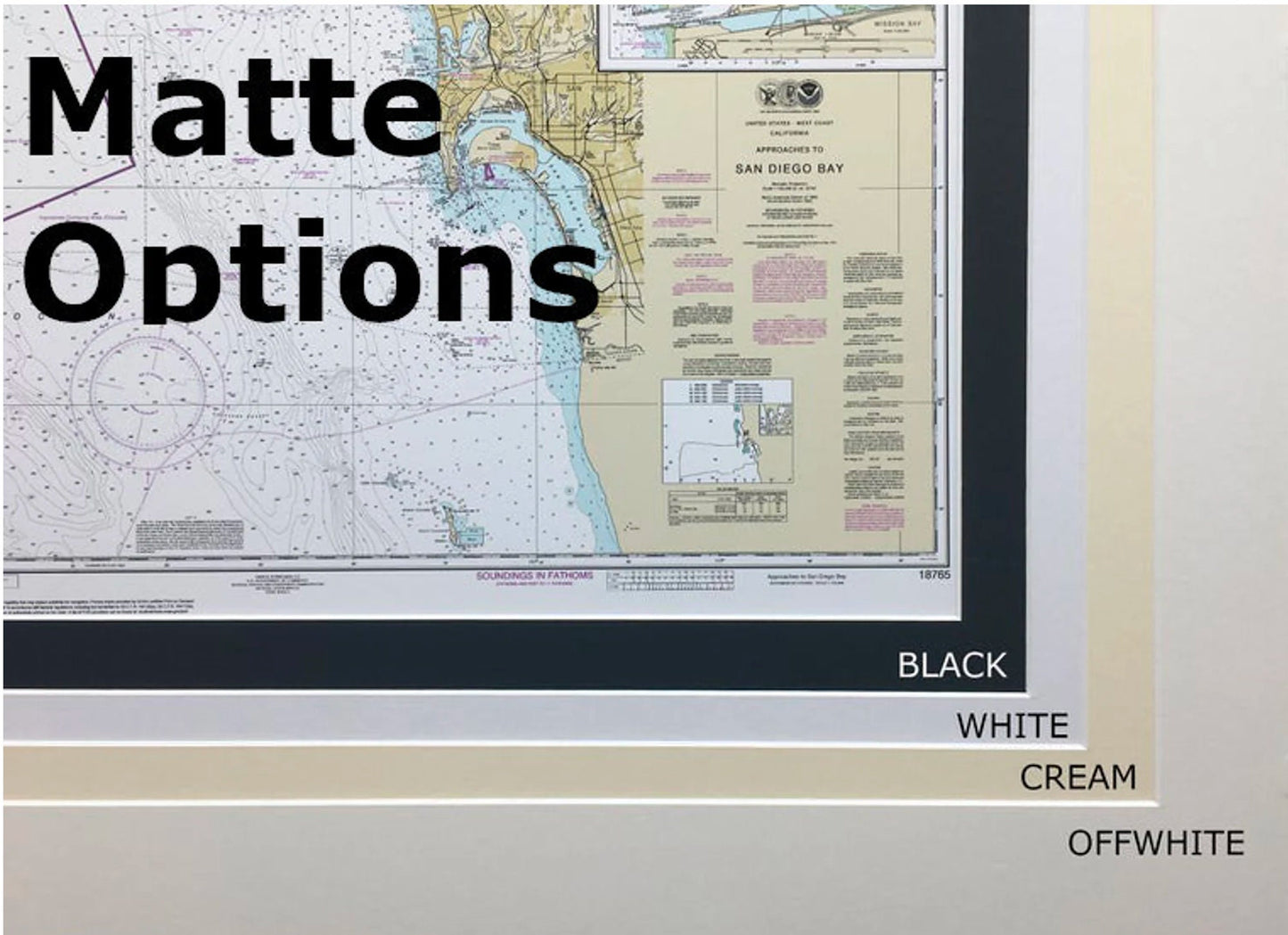
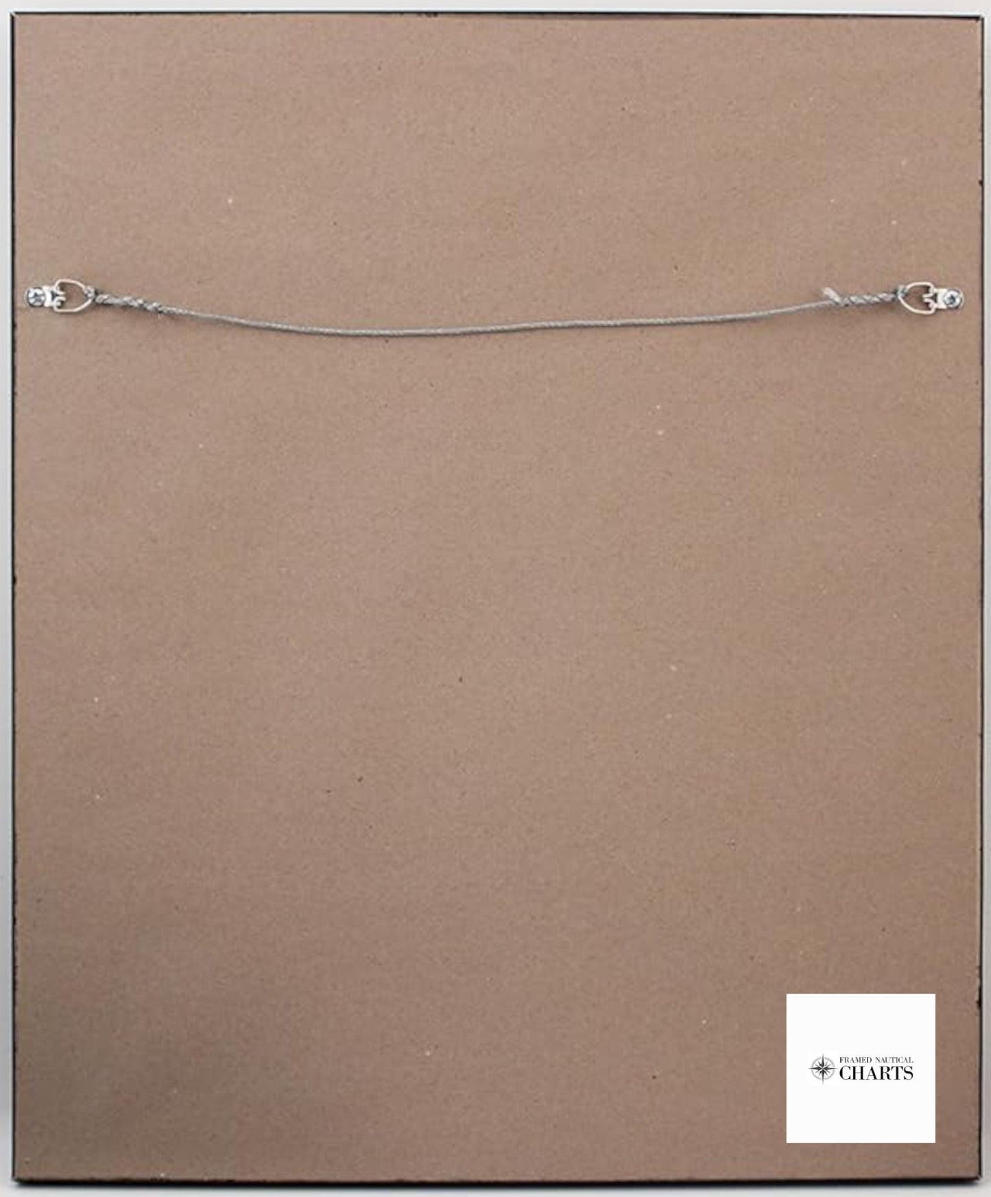
Each chart is meticulously handcrafted in the USA, reflecting exceptional craftsmanship and attention to detail. It is elegantly presented in a solid wood frame that features a museum-quality print made from archival paper and inks, ensuring longevity and vibrancy. The chart is enhanced with a black mat and protected by a glass front, allowing for clear visibility of the intricate nautical details. The back is elegantly finished with a paper duster, and a wire hanger is included for easy wall mounting.
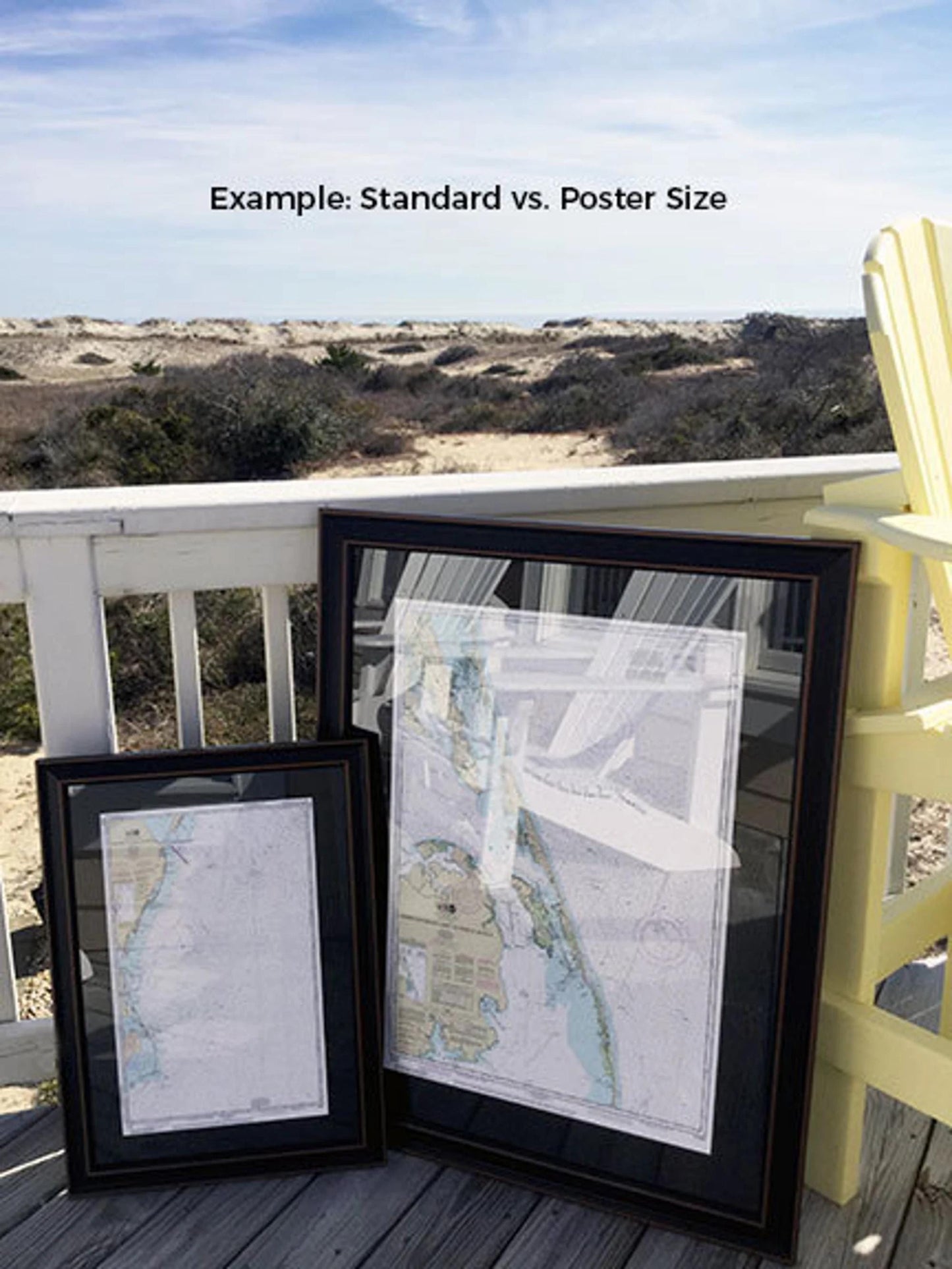
Choose from two available sizes: the standard size with outer frame dimensions of approximately 19 3/4" H x 24" W or the poster size measuring about 29 1/2" H x 36" W. If you prefer a different framing option, please don't hesitate to contact us with your request; we are more than happy to work with any sample photos you have to create your perfect vision.
*Important Shipping Note*: Free ground shipping is available for deliveries to the contiguous 48 states. We do not inflate shipping costs, but due to the higher expenses associated with shipping to Alaska and Hawaii, please reach out for a customized shipping quote.
Share