Framed Nautical Charts
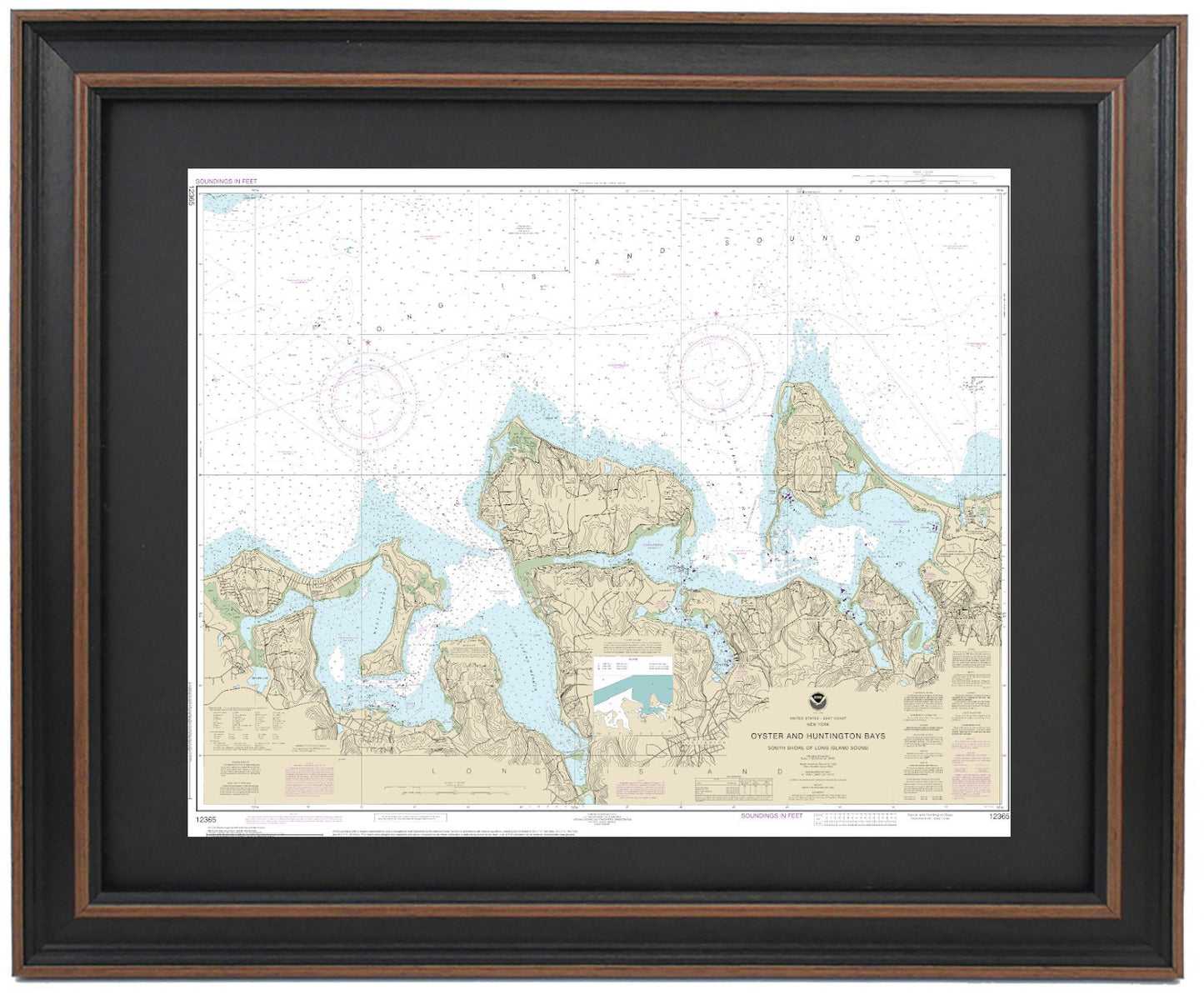
Framed Nautical Chart 12365 - South Shore of Long Island Sound Oyster and Huntington Bays. NOAA Handmade in the USA.
Framed Nautical Chart 12365 - South Shore of Long Island Sound Oyster and Huntington Bays. NOAA Handmade in the USA.
Couldn't load pickup availability
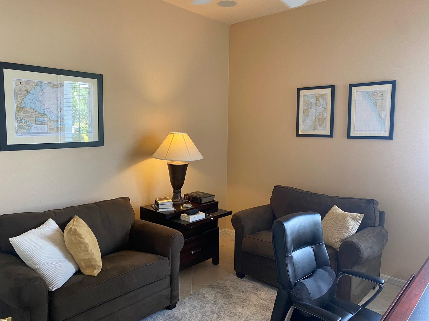
Discover the beauty of the South Shore of Long Island Sound with our Framed Nautical Chart 12365, highlighting Oyster and Huntington Bays in New York. This meticulously crafted chart is the official NOAA Nautical Chart, showcasing the stunning waters and coastline of Long Island Sound, featuring notable areas such as Oyster Bay, Huntington Bay, West Harbor, Cold Spring Harbor, Lloyd Harbor, West Point Bay, and more.
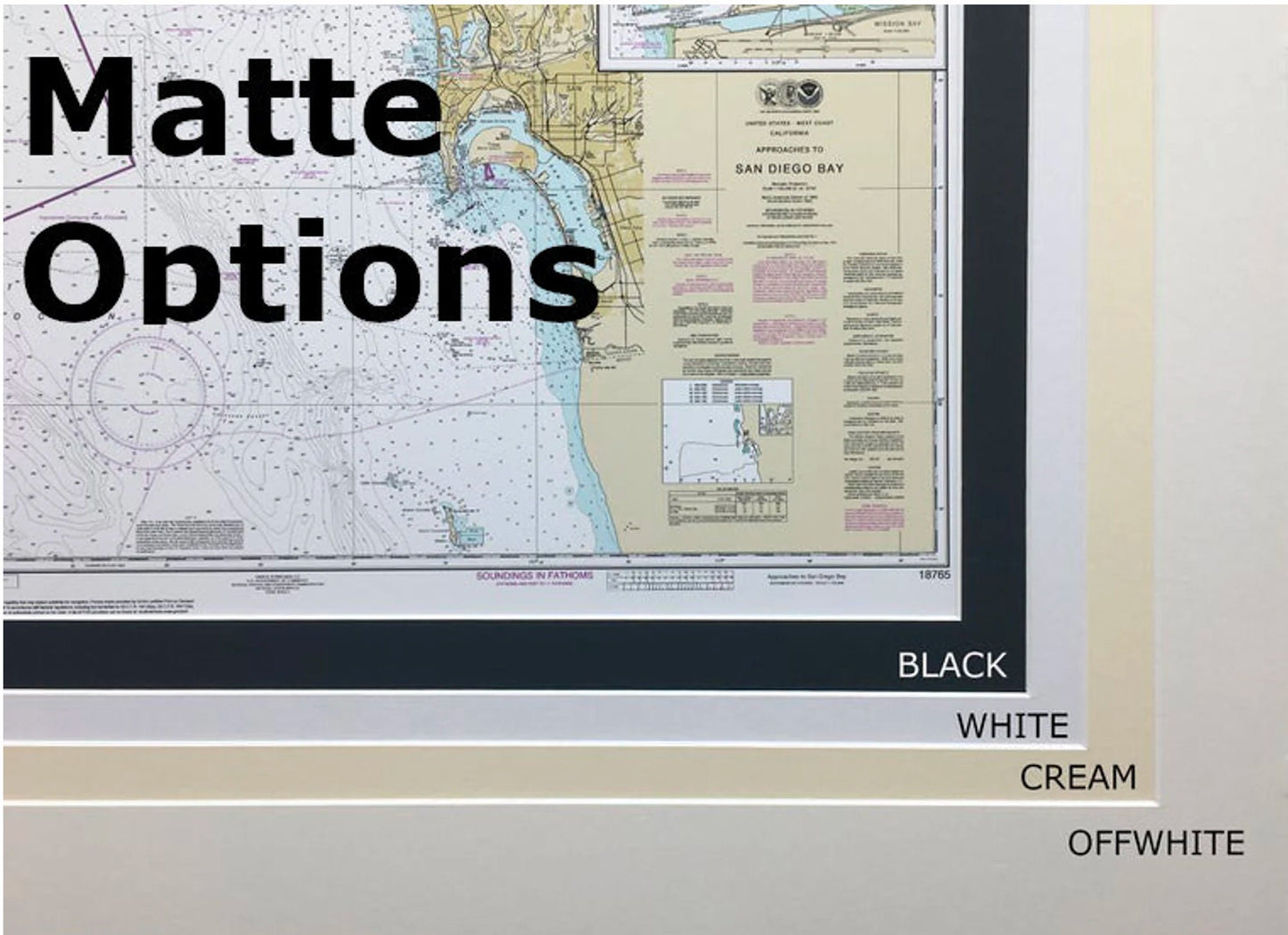
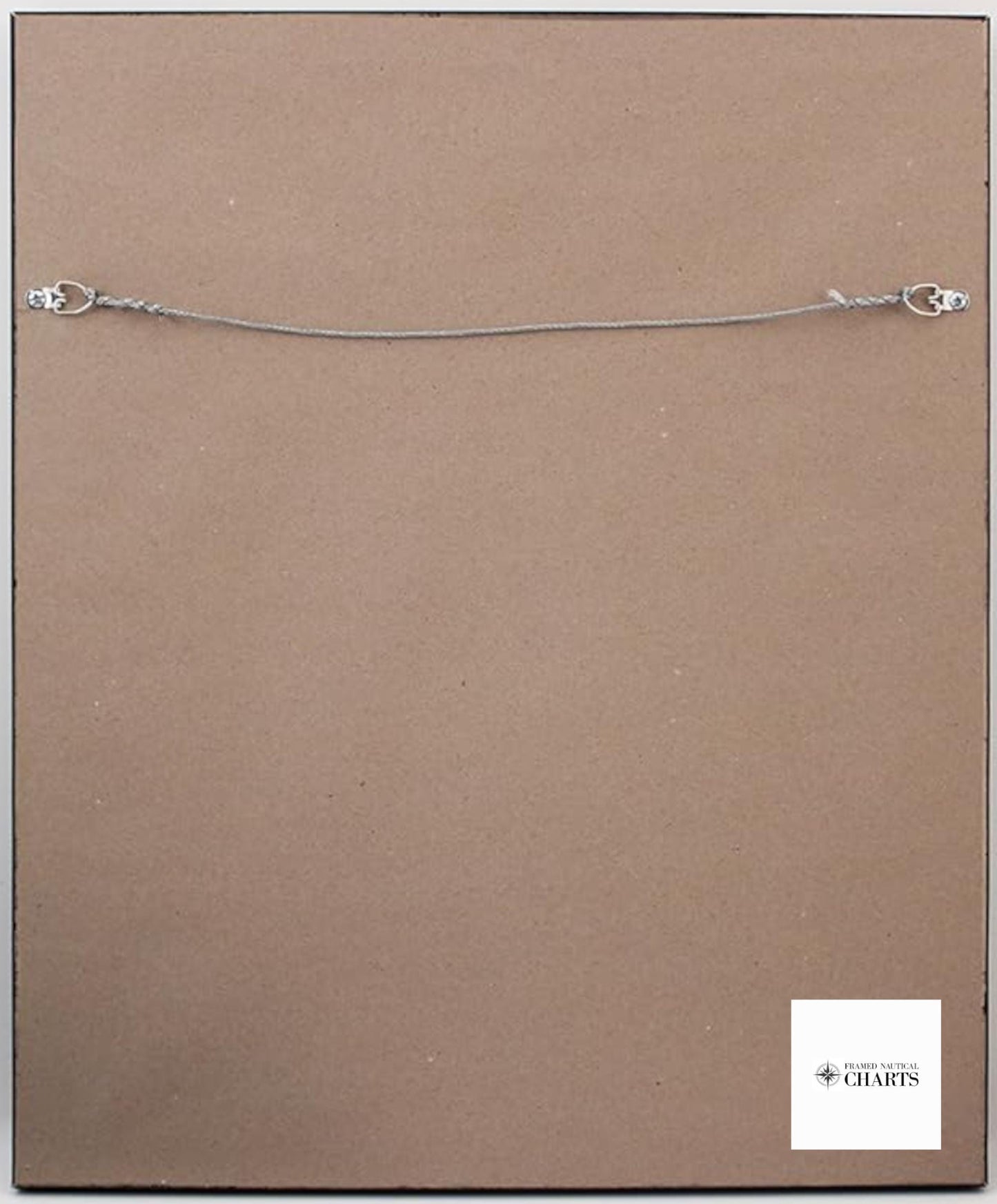
Each nautical chart is custom handmade in the USA, ensuring exceptional craftsmanship and quality. The chart is elegantly presented in a solid wood frame and features a museum-quality print made with archival paper and inks to ensure longevity. Enhanced with a black mat and protected by a glass front, this piece is not only a functional navigation tool but also a stunning decorative item. The back is finished with a paper duster, and a convenient wire hanger is included for effortless installation.
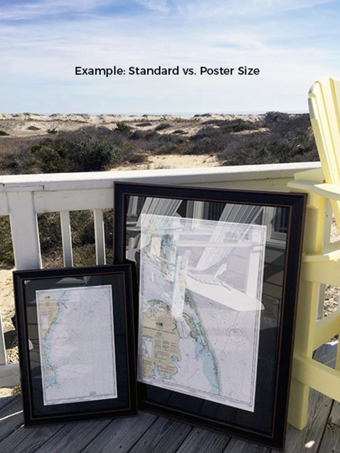
Choose from two frame sizes to suit your space: the standard size features outer dimensions of approximately 19 1/4" H x 24" W, while the poster size measures approximately 29" H x 36" W. If you have a specific frame option in mind, please don’t hesitate to reach out to us; we’re happy to work with you to create the perfect look.
*Important Shipping Note: We offer free ground shipping for orders within the 48 contiguous states. While we do not inflate shipping costs, please contact us for custom shipping quotes to Alaska and Hawaii due to higher rates.
Share