Framed Nautical Charts
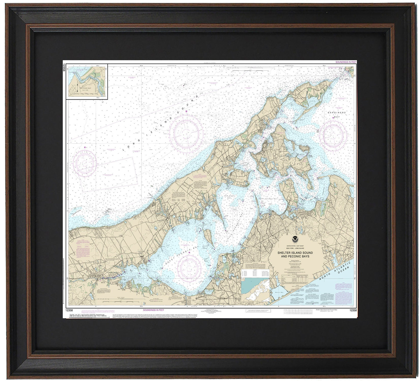
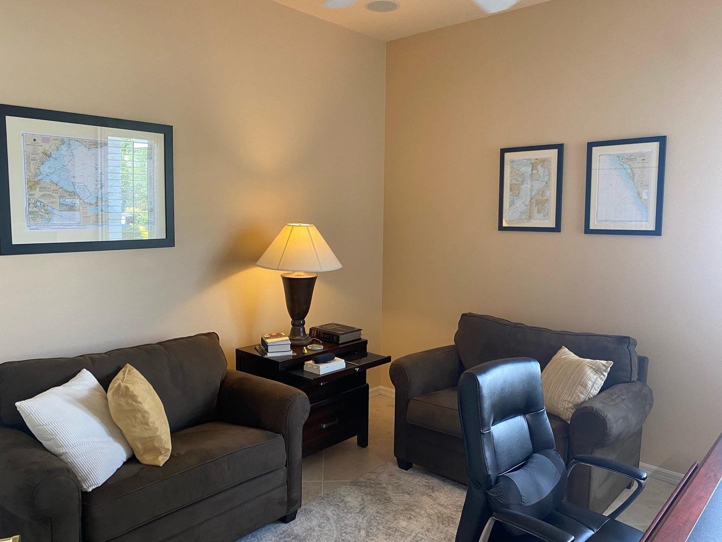
Framed Nautical Chart 12358 - Long Island, NY. Shelter Island Sound and Peconic Bays. NOAA 12358. Handmade in the USA.
Framed Nautical Chart 12358 - Long Island, NY. Shelter Island Sound and Peconic Bays. NOAA 12358. Handmade in the USA.
Couldn't load pickup availability
Discover the beauty of Long Island, NY, with our exquisite Framed Nautical Map, featuring NOAA Chart 12358. This stunning piece captures the intricate waters and coastline of Shelter Island Sound and Peconic Bay, showcasing locations such as Sag Harbor, Shelter Island, Great Peconic Bay, Little Peconic Bay, Hog Neck Bay, Noyack Bay, Gardiners Bay, Greenport, and parts of the Hamptons.
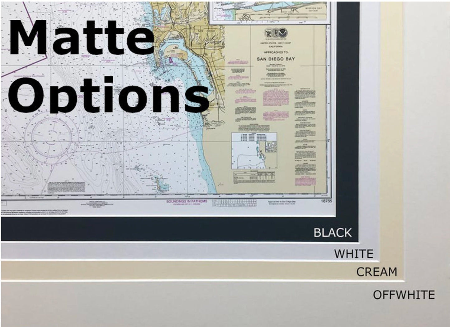
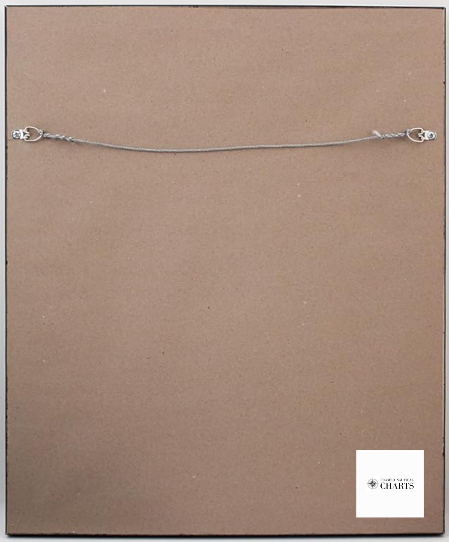
Each chart is meticulously handcrafted in the USA, ensuring a high standard of craftsmanship. The map is elegantly presented in a solid wood frame and features a museum-quality print made from archival paper and inks, designed to last for years to come. It comes with a sophisticated black mat and is protected by a glass front that preserves the integrity of the nautical chart. The back is finished with a paper duster, and it includes a wire hanger for easy installation.
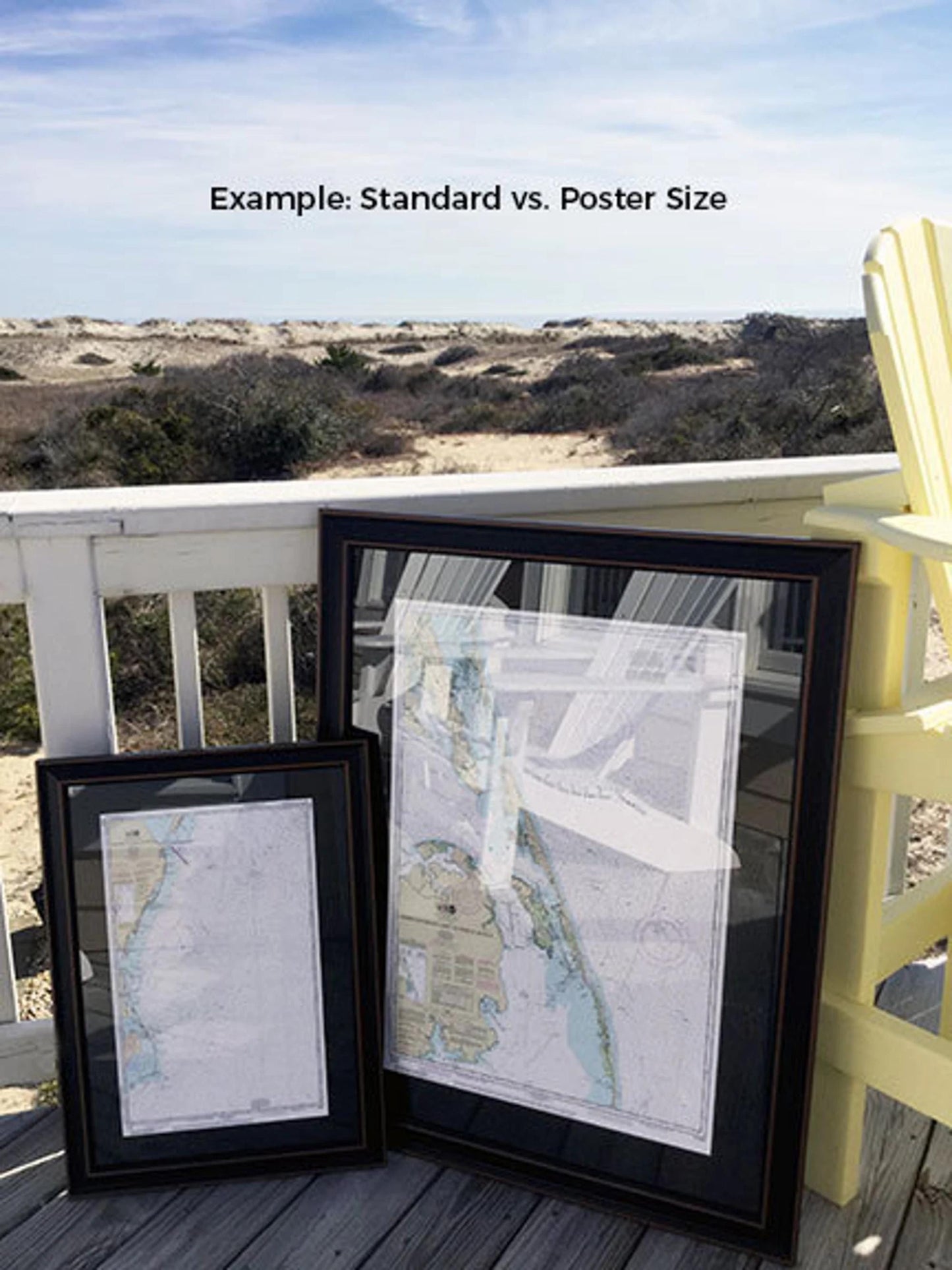
We offer two frame sizes for your preference. The standard size has outer frame dimensions of approximately 18 3/4" H x 24" W, while the poster size measures approximately 28 1/4" H x 36" W. If you’re interested in a different framing option, please feel free to reach out to us with your specific requests. We would also love to see any sample photos you have that can help us create your perfect vision.
*Important Shipping Note: We provide free ground shipping for orders within the 48 contiguous states. While we do not inflate shipping costs, please contact us for custom shipping quotes to Alaska and Hawaii due to the higher rates involved.
Share