Framed Nautical Charts
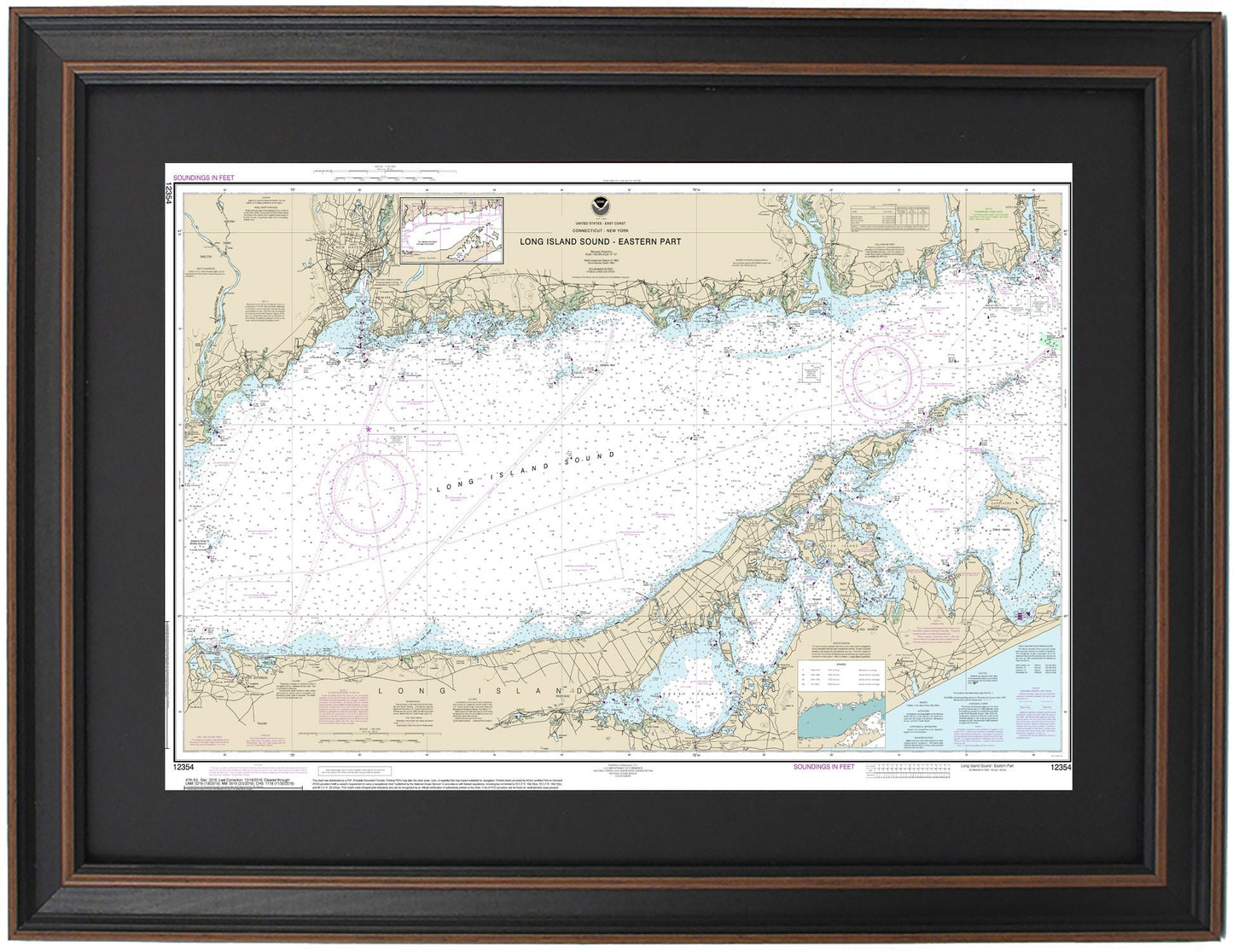
Framed Nautical Chart 12354 - Long Island Sound, NY. Eastern Part. NOAA 12354. Handmade in the USA.
Framed Nautical Chart 12354 - Long Island Sound, NY. Eastern Part. NOAA 12354. Handmade in the USA.
Couldn't load pickup availability
Discover the beauty of Long Island Sound with this meticulously crafted Framed Nautical Chart, detailing the Eastern Part of this picturesque waterway. Officially published by NOAA, Chart 12354 encompasses key locations including New Haven, Shelter Island, New London Harbor, Great Peconic Bay, Gardiners Bay, and portions of Port Jefferson.
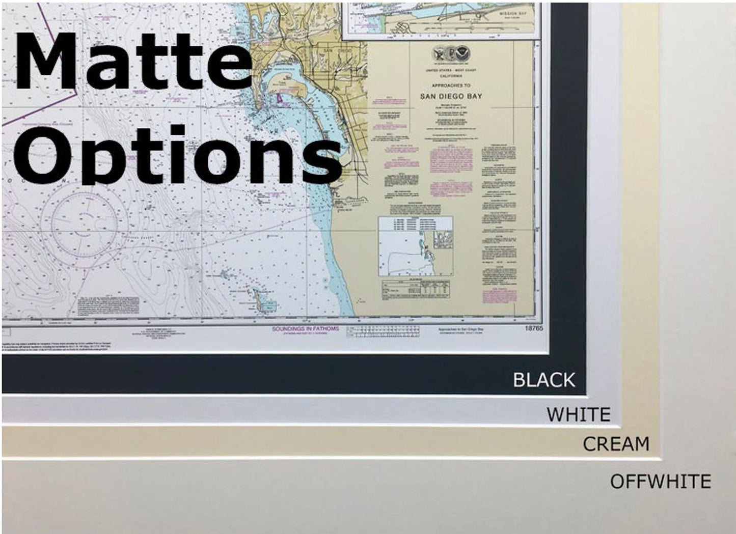
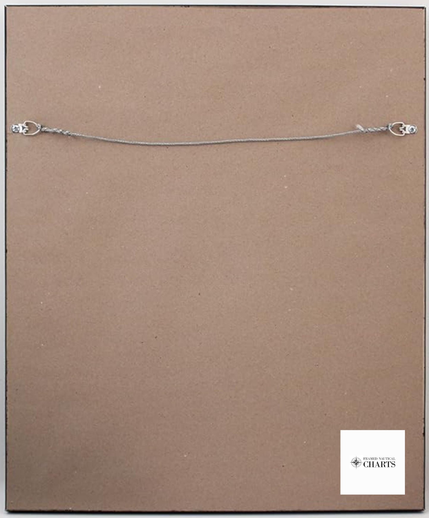
Each nautical map is custom handmade in the USA, showcasing exceptional craftsmanship. Presented in a solid wood frame, our chart is printed on museum-quality archival paper using premium inks to ensure longevity. The design is enhanced by a black mat and protected by a durable glass front. The back of the frame is elegantly finished with a paper duster, and a wire hanger is included for easy wall mounting.
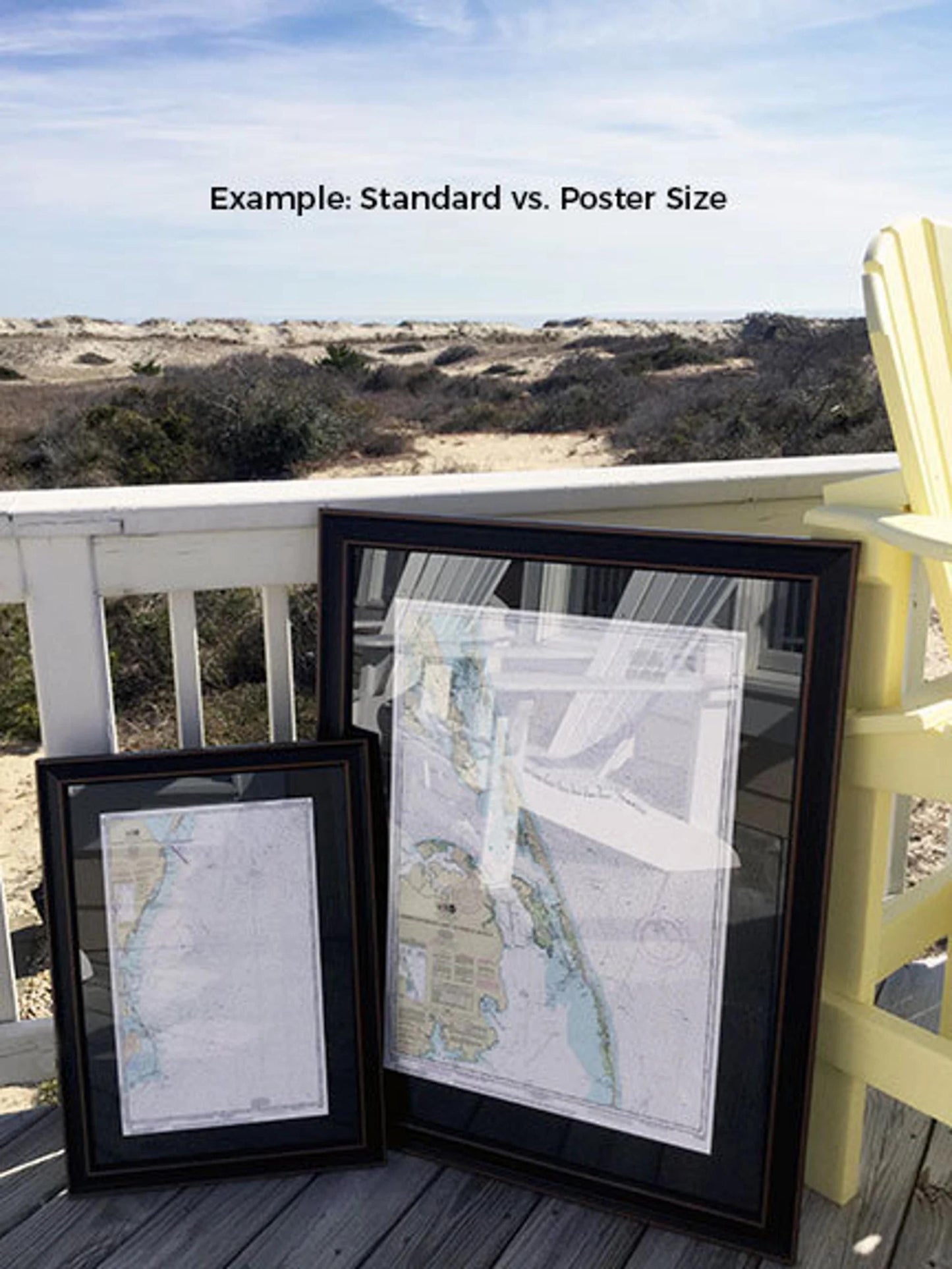
Available in two sizes, this nautical chart offers versatility to suit your space:
- Standard size: Approx. 15 1/4" H x 24" W
- Poster size: Approx. 23" H x 36" W
If you have a specific framing request or would like to see sample photos, feel free to reach out. We are committed to helping you create the perfect display for your home or office.
*Important Shipping Information: Enjoy free ground shipping on orders shipped to the 48 contiguous states. We do not inflate shipping costs; however, due to the higher rates for Alaska and Hawaii, please contact us for personalized shipping quotes.
Share