Framed Nautical Charts
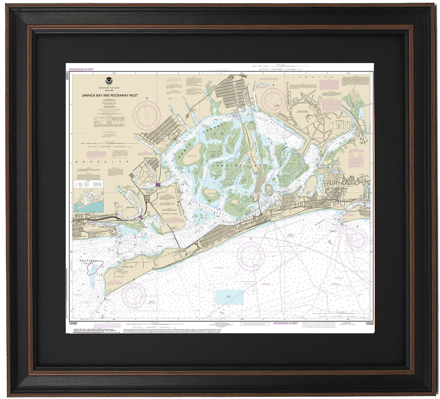
Framed Nautical Chart 12350 - Jamaica Bay to Rockaway Inlet, NY 12350 Handmade in the USA.
Framed Nautical Chart 12350 - Jamaica Bay to Rockaway Inlet, NY 12350 Handmade in the USA.
Couldn't load pickup availability
Discover the stunning beauty of Jamaica Bay to Rockaway Inlet, NY, with our exquisite Framed Nautical Chart. This official NOAA Nautical Chart intricately details the pristine waterways, highlighting iconic locations such as Rockaway Beach, Rockaway Point, Bergen Beach, Barren Island, Far Rockaway, John F. Kennedy Airport, and portions of Brooklyn.
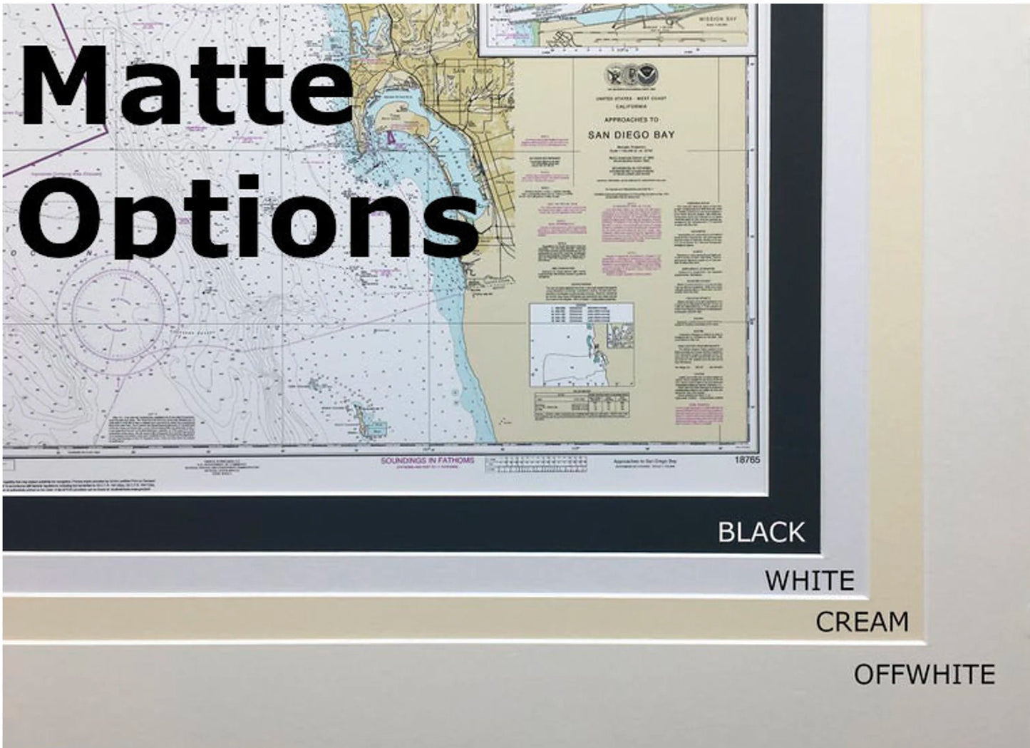
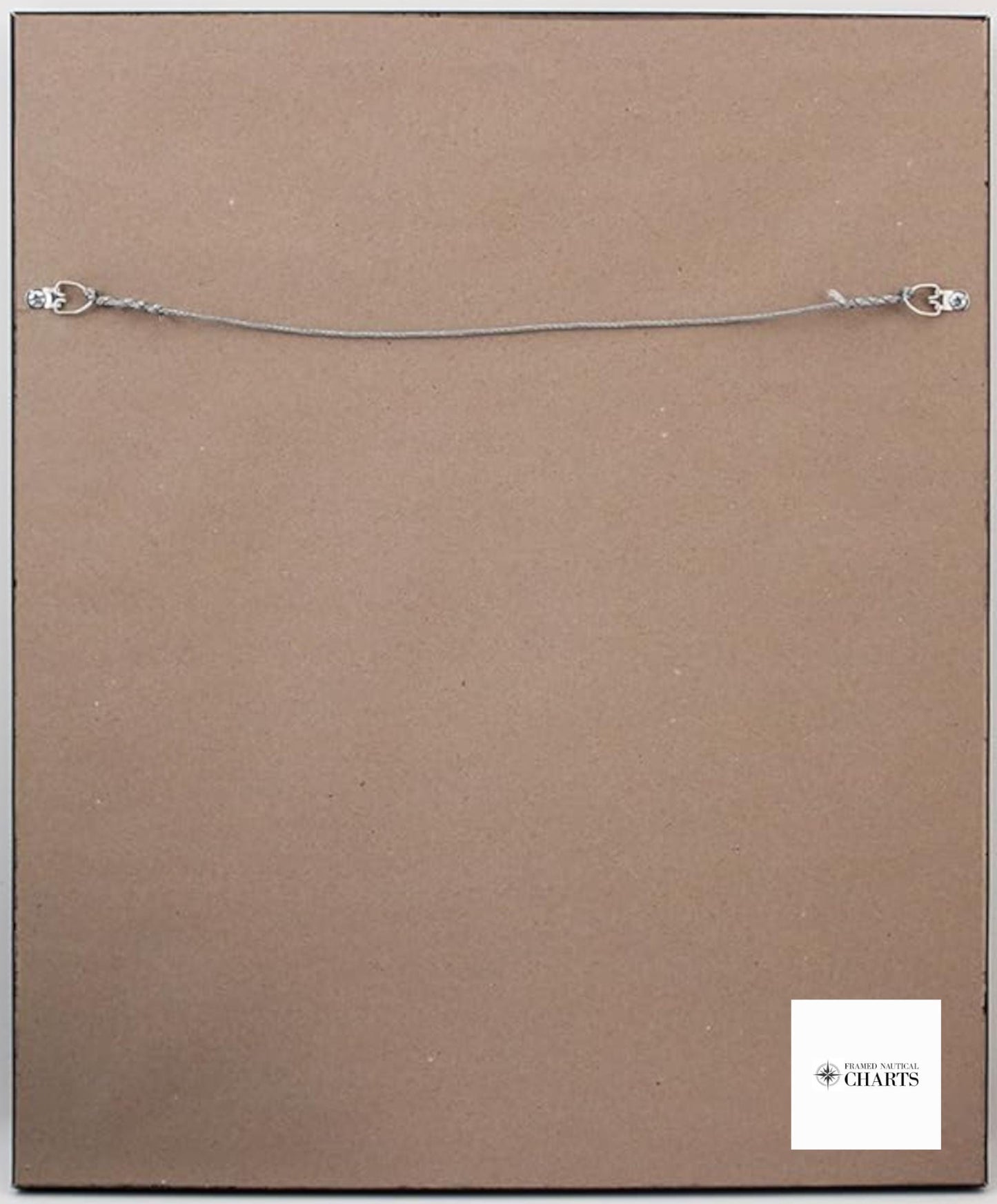
Each chart is meticulously handmade in the USA, ensuring superior craftsmanship and quality. The map is presented in a solid wood frame, complemented by a museum-quality print crafted from archival paper and inks, guaranteeing longevity. It features a sophisticated black mat and is protected by a glass front, ensuring your chart remains vibrant for years to come. The back is elegantly finished with a paper duster, and a wire hanger is included for effortless installation.
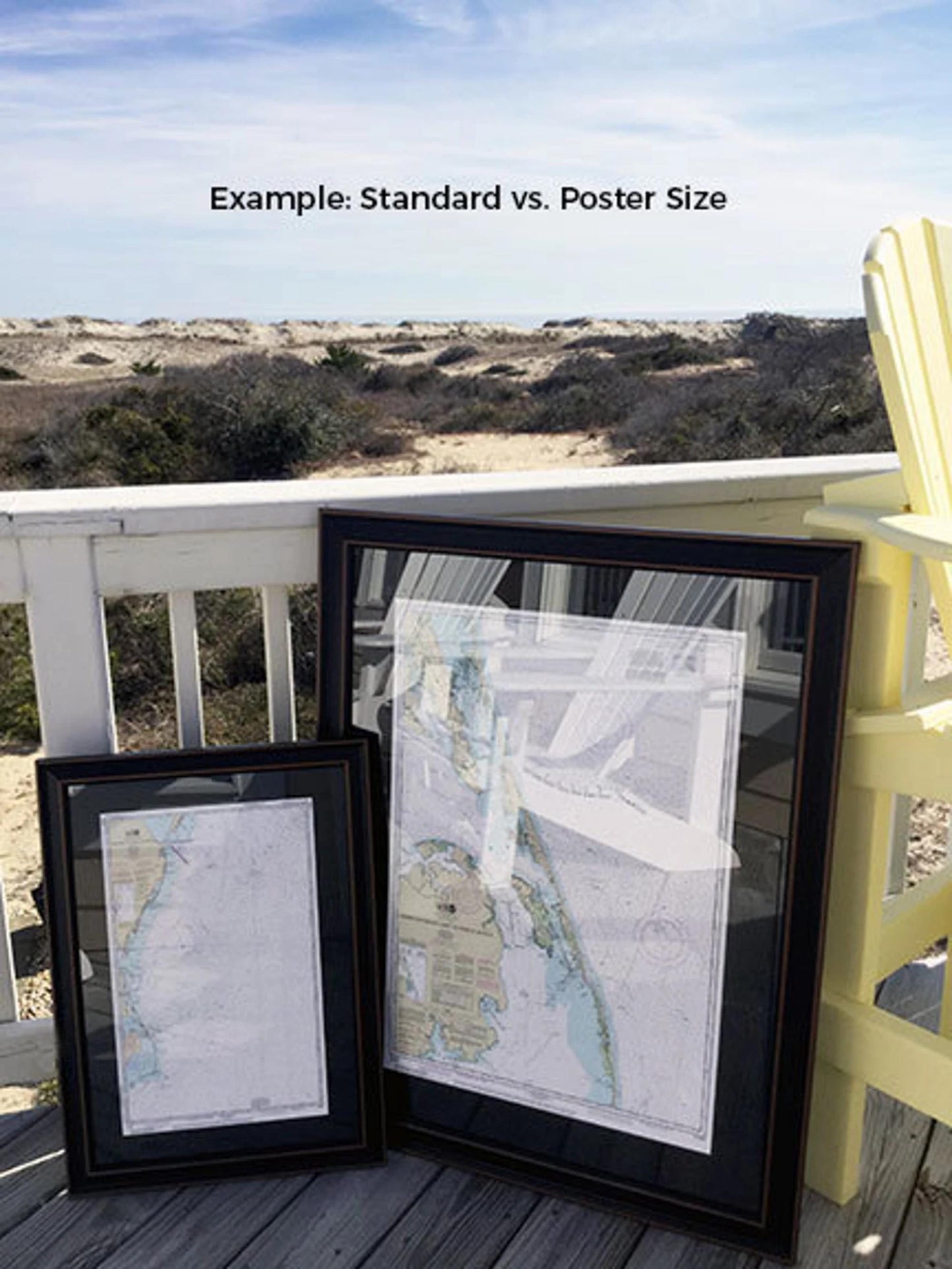
Choose from two frame sizes to best suit your space:
- Standard size: Outer frame dimensions approximate 19 3/4" H x 24" W
- Poster size: Outer frame dimensions approximate 29 3/4" H x 36" W
Enjoy the convenience of free ground shipping within the contiguous 48 states.* If you have specific frame preferences or would like to see sample photos to help us create your vision, please don’t hesitate to reach out!
*Important Shipping Note: Free ground shipping applies only to shipments within the contiguous United States. Due to higher shipping costs to Alaska and Hawaii, please contact us for custom shipping quotes.
Share