Framed Nautical Charts
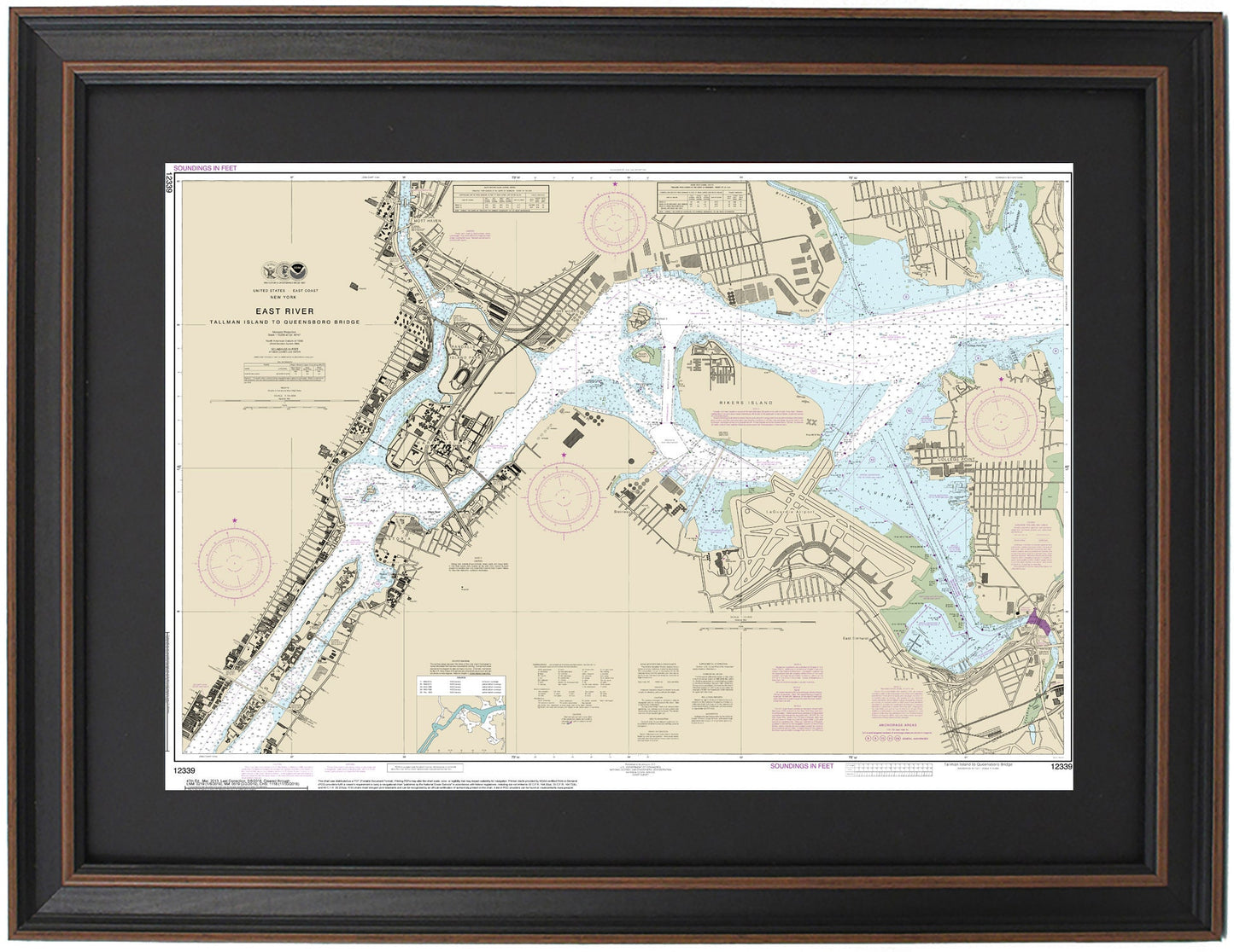
Framed Nautical Chart 12339 - East River, NY. NOAA 12339. Handmade in the USA.
Framed Nautical Chart 12339 - East River, NY. NOAA 12339. Handmade in the USA.
Couldn't load pickup availability
Discover the beauty of the East River with our exquisitely framed nautical chart, designated NOAA 12339. This stunning map showcases the intricate waterways and coastline of the East River, extending from Tallman Island to the Queensboro Bridge in New York. The chart prominently features notable landmarks such as Rikers Island, parts of Harlem, Wards Island, Roosevelt Island, and LaGuardia Airport, making it a perfect decorative piece for nautical enthusiasts and New York lovers alike.
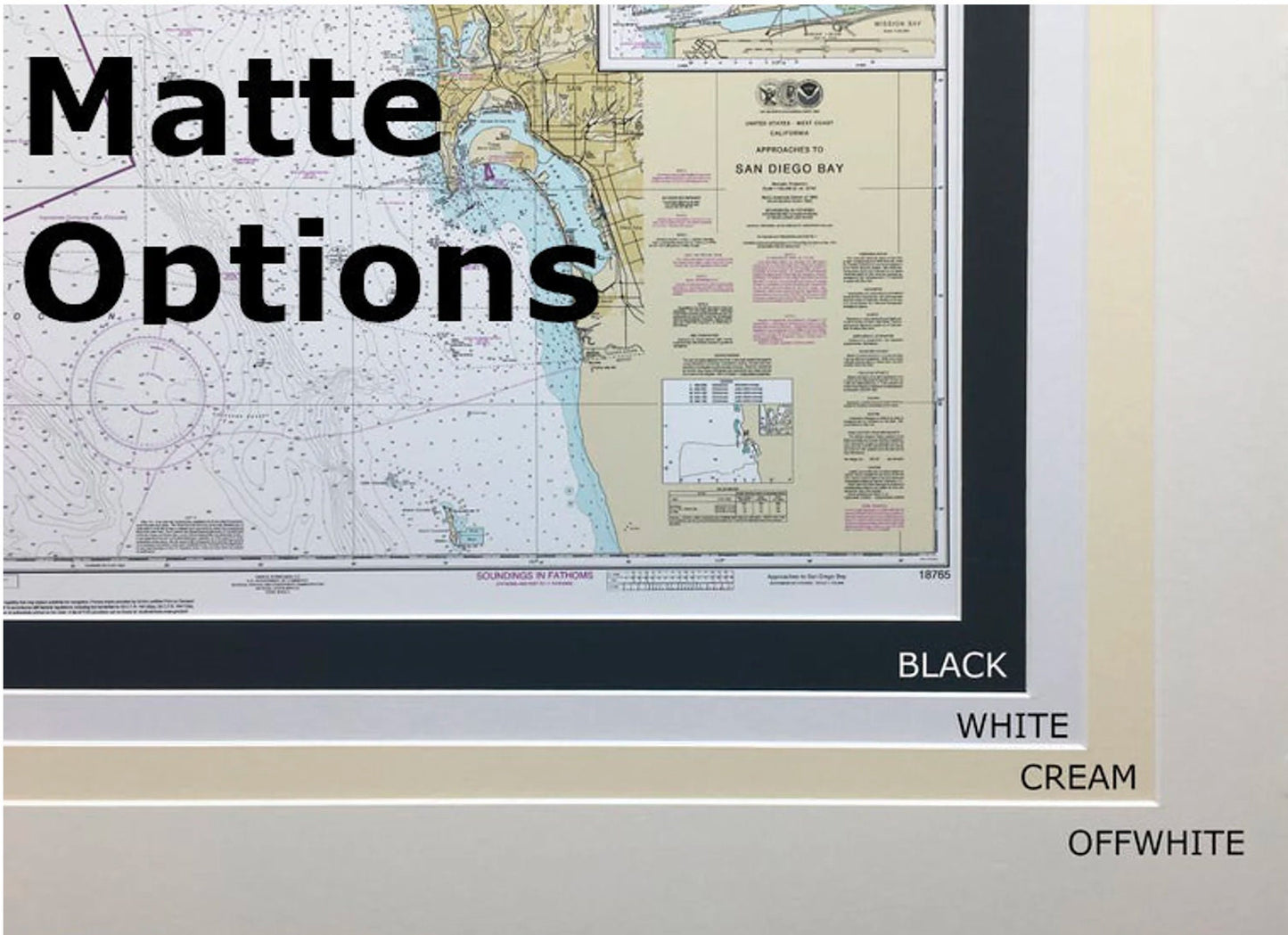
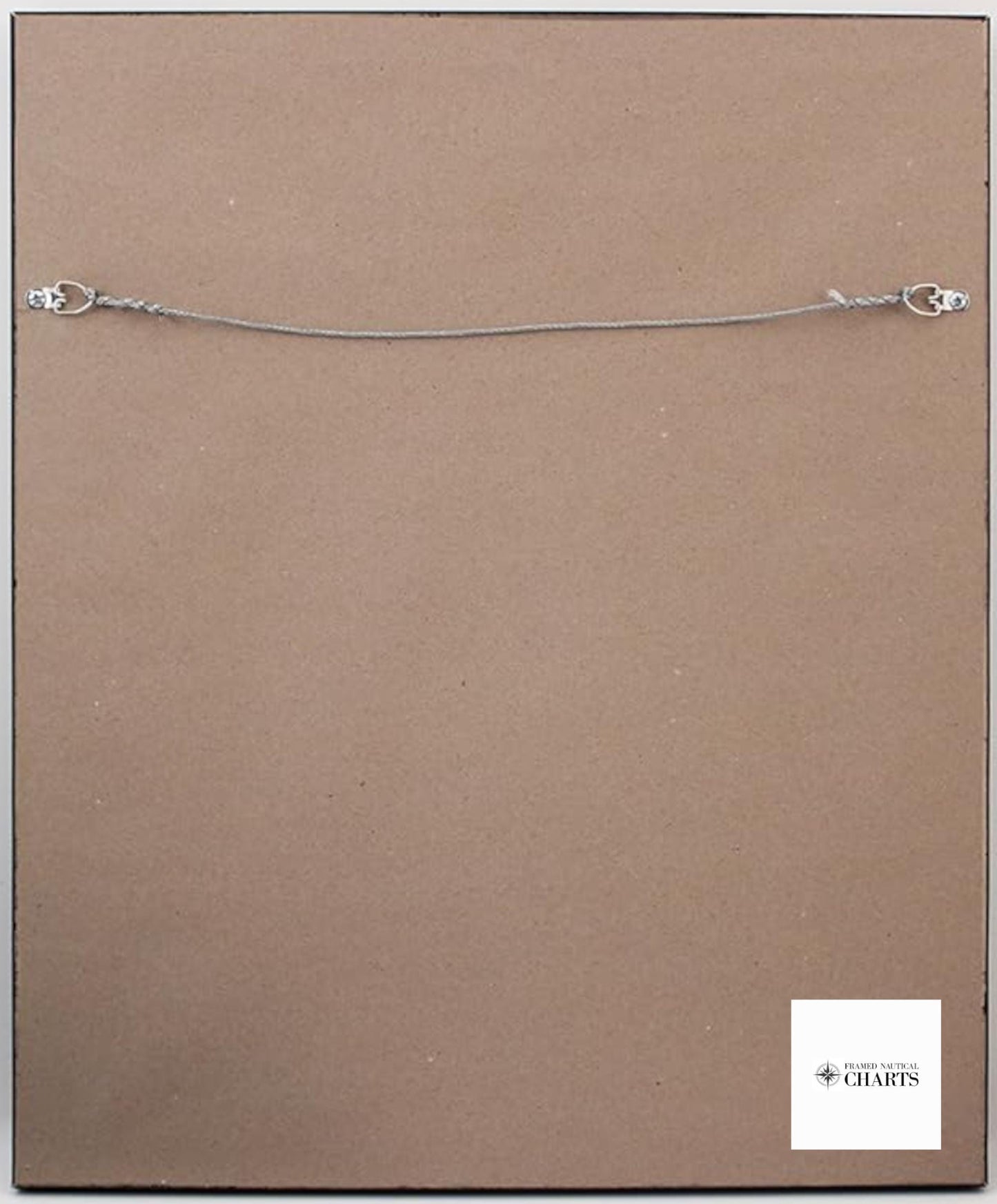
Each chart is meticulously handmade in the USA, ensuring superior craftsmanship and attention to detail. It is presented in a solid wood frame, complete with a museum-quality print made from archival paper and inks for maximum durability and visual appeal. The presentation includes a sleek black mat and is protected by a glass front, allowing for easy viewing and preservation. The back is elegantly finished with a paper duster, and a wire hanger is included for convenient installation.
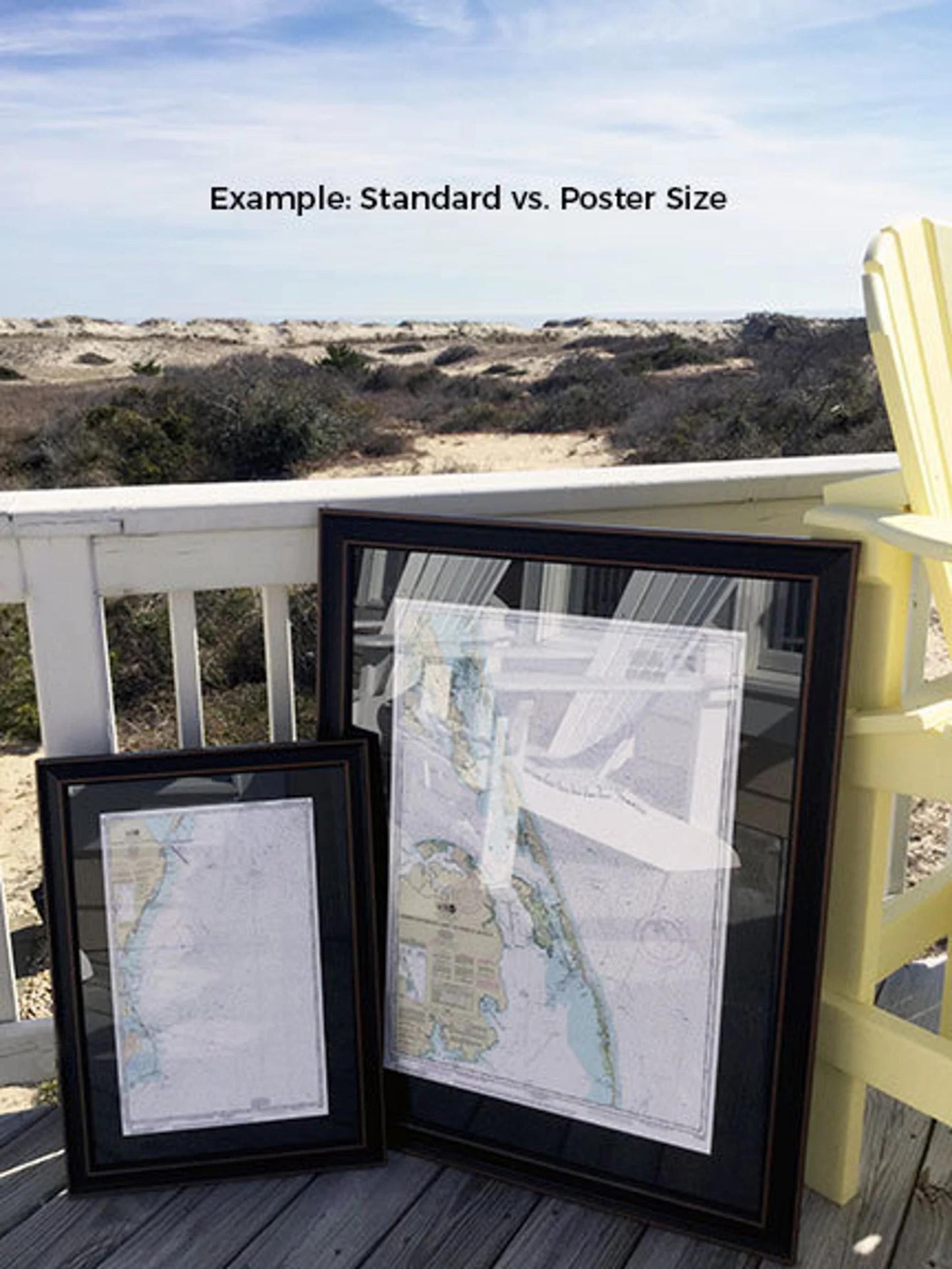
Our framed nautical charts are available in two sizes to fit your space perfectly:
- Standard size: Outer frame dimensions are approximately 17" H x 24" W
- Poster size: Outer frame dimensions are approximately 25 ½" H x 36" W
Enjoy free ground shipping within the 48 contiguous states. We do not mark up additional shipping costs; however, for shipments to Alaska and Hawaii, please contact us for a customized shipping quote. If you have a specific frame option in mind, we welcome your requests and any sample photos to help us create your ideal piece. Transform your living space with this unique and elegant depiction of the East River!
Share