Framed Nautical Charts
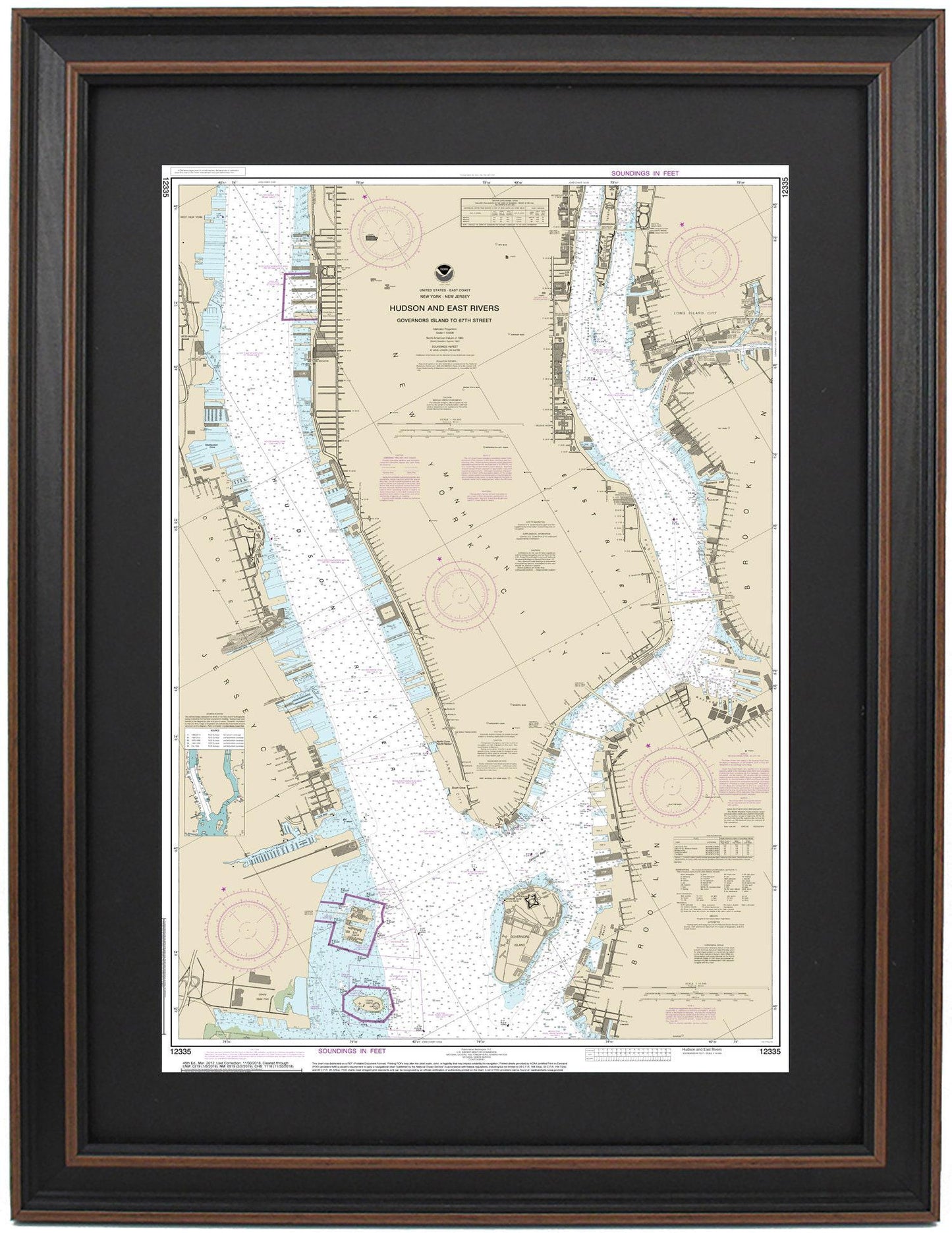
Framed Nautical Chart 12335 - Hudson and East Rivers. Lower Manhattan, NY. NOAA 12335. Handmade in the USA.
Framed Nautical Chart 12335 - Hudson and East Rivers. Lower Manhattan, NY. NOAA 12335. Handmade in the USA.
Couldn't load pickup availability
Discover the exquisite beauty of New York Harbor with our Framed Nautical Chart 12335, featuring the iconic Hudson and East Rivers, as well as the vibrant Lower Manhattan area. This official NOAA Nautical Chart showcases the stunning waterways surrounding Liberty Island, Ellis Island, Governors Island, and Battery Park.
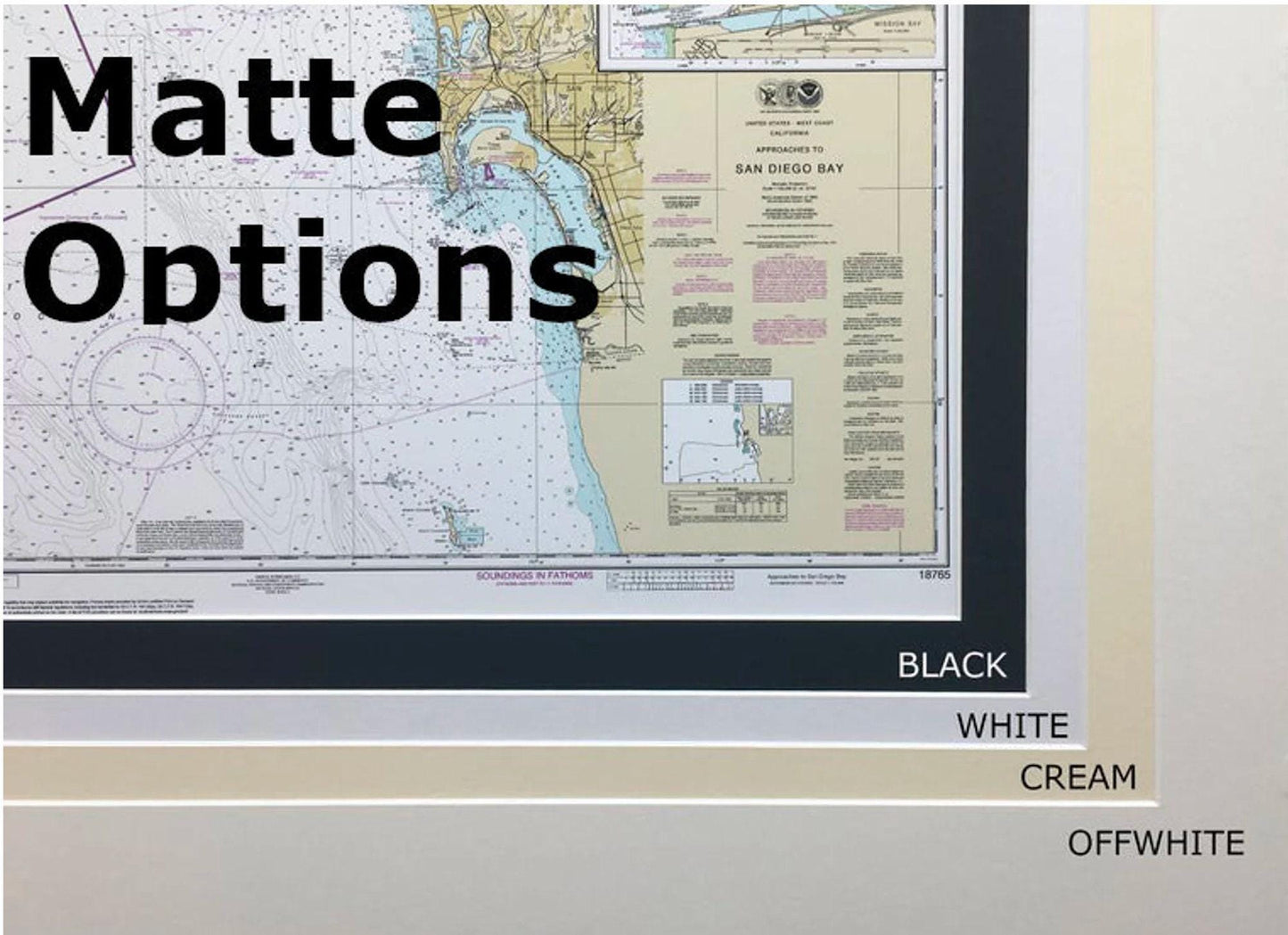
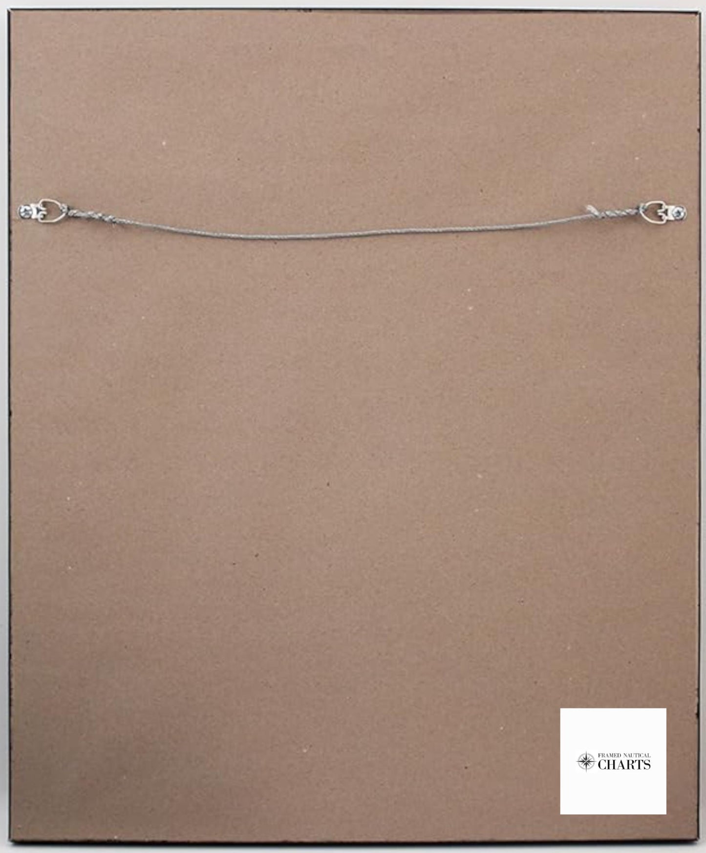
Each chart is meticulously handmade in the USA, reflecting exceptional craftsmanship and attention to detail. Presented in a solid wood frame, the nautical chart is enhanced with a museum-quality print created from archival paper and inks. The design includes a stylish black mat and is protected by a durable glass front. The back features a paper duster finish, and a wire hanger is provided for easy installation.
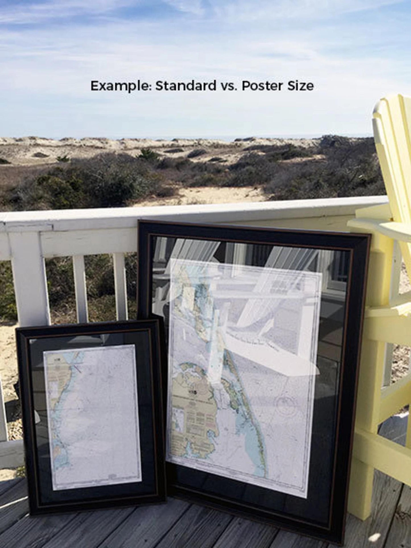
Available in two sizes, our frames are perfect for any space:
- Standard Size: Outer frame dimensions are approximately 16" W x 24" H
- Poster Size: Outer frame dimensions are approximately 24" W x 36" H
If you’re interested in exploring different frame options, feel free to reach out with your ideas. We would love to see any sample photos you have to help us create your vision.
Please note that free ground shipping is available only within the 48 contiguous states. While we do not markup shipping costs, please contact us for a custom shipping quote for orders to Alaska and Hawaii, as shipping rates can vary significantly. Elevate your decor and celebrate the nautical heritage of New York with this beautiful map today!
Share