Framed Nautical Charts
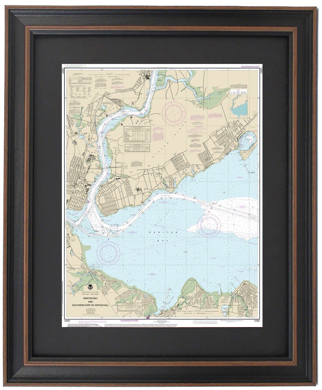
Framed Nautical Chart 12331 - Raritan Bay. NOAA 12331. Handmade in the USA.
Framed Nautical Chart 12331 - Raritan Bay. NOAA 12331. Handmade in the USA.
Couldn't load pickup availability
Discover the stunning beauty of Raritan Bay with our Framed Nautical Chart 12331, expertly crafted to showcase the intricate waterways and coastline of this remarkable area, including Staten Island, Perth Amboy, and the mouth of the Raritan River. This official NOAA Nautical Chart offers a detailed and artistic portrayal of the southern part of Arthur Kill and its enchanting waters.
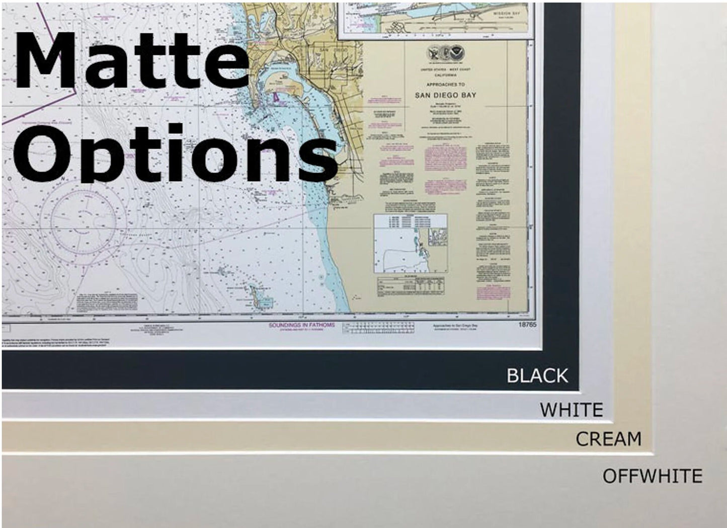
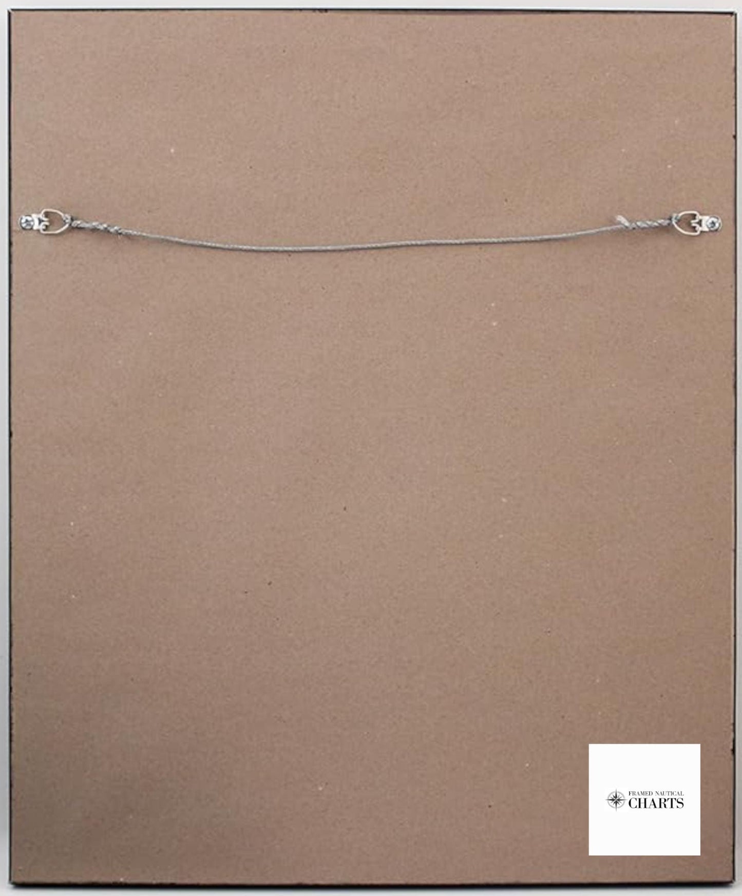
Each chart is meticulously handmade in the USA, reflecting our commitment to high-quality craftsmanship. The map is displayed in a solid wood frame and features a museum-quality print made from archival paper and inks, ensuring durability and longevity. For added elegance, a black mat surrounds the chart, and a protective glass front keeps it safe from dust and damage. The back is finished with a paper duster for a polished look, and a wire hanger is included for easy installation.
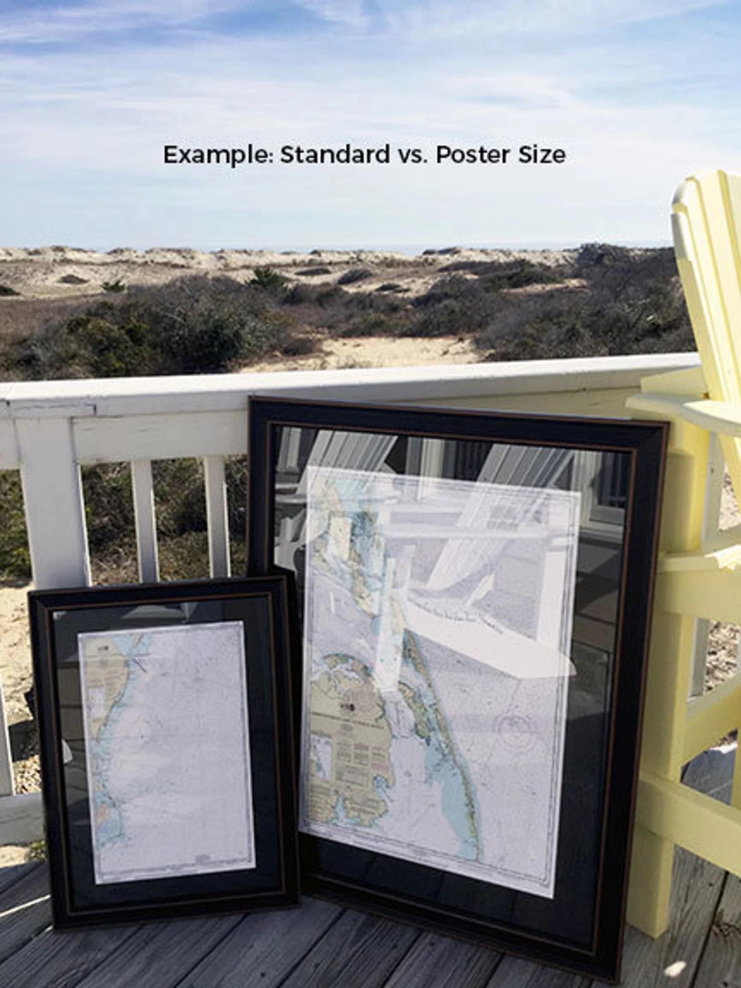
Our framed nautical charts are available in two sizes:
- Standard size: approximately 18 1/2" W x 24" H
- Poster size: approximately 27 3/4" W x 36" H
If you're interested in a custom frame option, please feel free to reach out to us with your ideas. We welcome any sample photos that may help us create your perfect piece.
*Important Shipping Note: Free ground shipping is available for shipments to the 48 contiguous states. We aim to keep shipping costs reasonable and do not mark them up. However, due to the higher costs for shipping to Alaska and Hawaii, please contact us for a custom shipping quote.
Share