Framed Nautical Charts
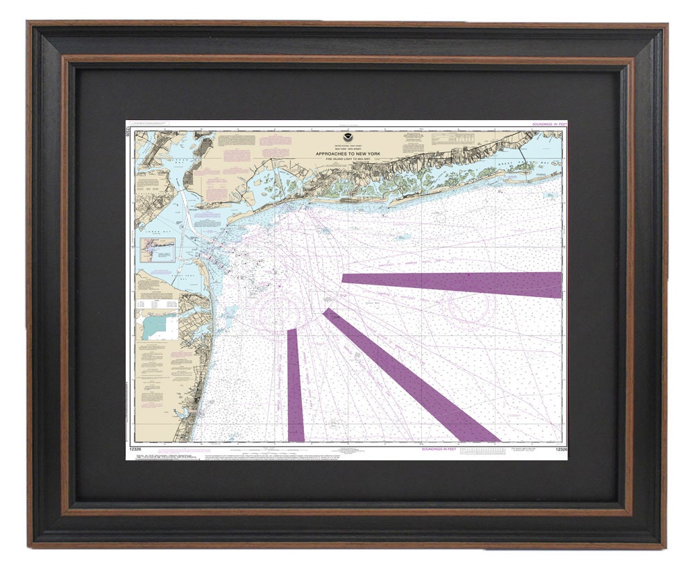
Framed Nautical Chart 12326 - Shinecock Light to Fire Island Light. NOAA 12326. Handmade in the USA.
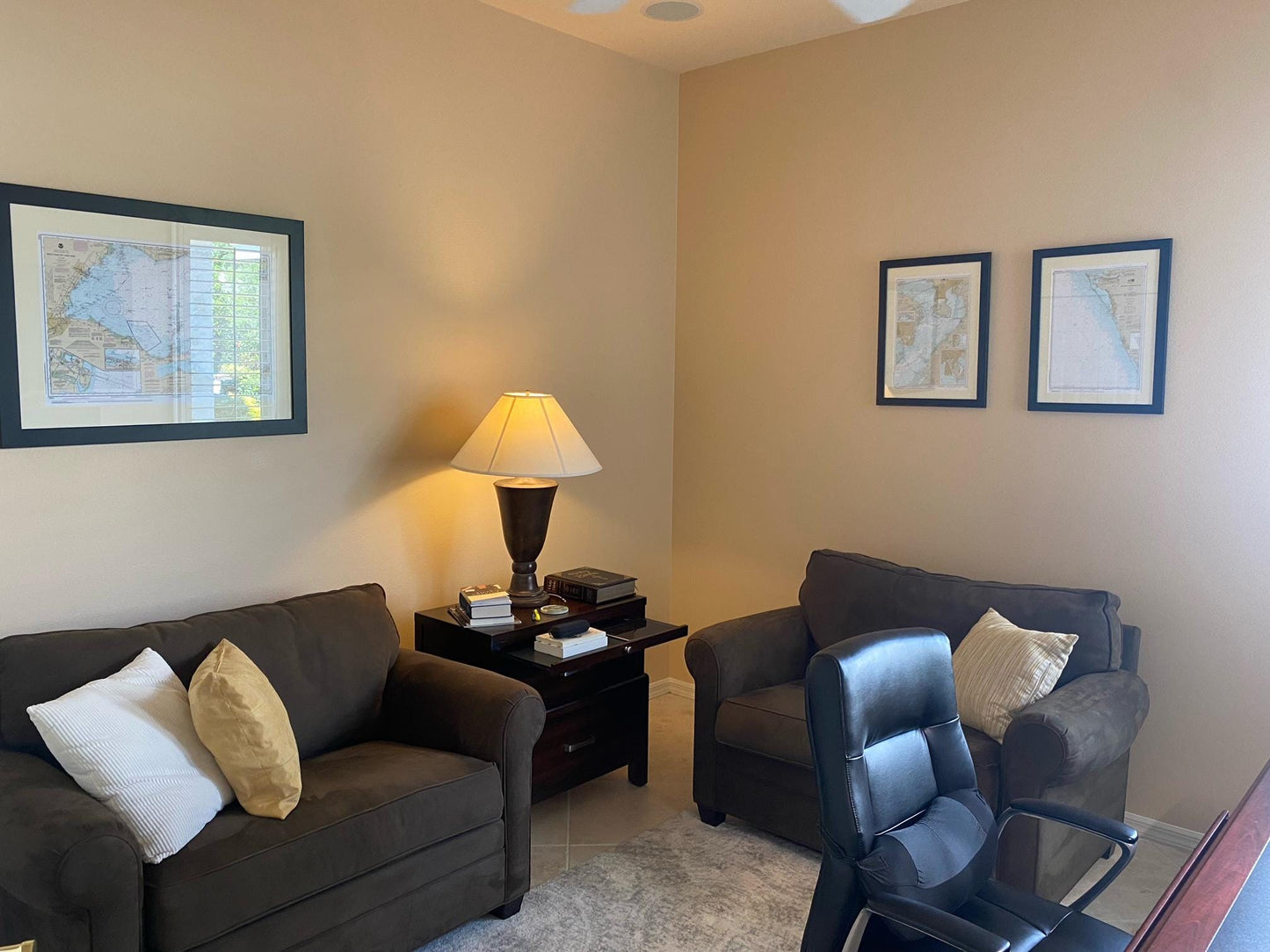
Framed Nautical Chart 12326 - Shinecock Light to Fire Island Light. NOAA 12326. Handmade in the USA.
Couldn't load pickup availability
Discover our beautifully crafted Framed Nautical Chart, showcasing the navigational routes from Shinnecock Light to Fire Island Light, along with detailed insights into the approaches to New York, New York City Harbor, and Long Island. This exquisite chart is the official NOAA Nautical Chart 12326, highlighting the stunning coastal regions of New Jersey, New York, and Long Island.
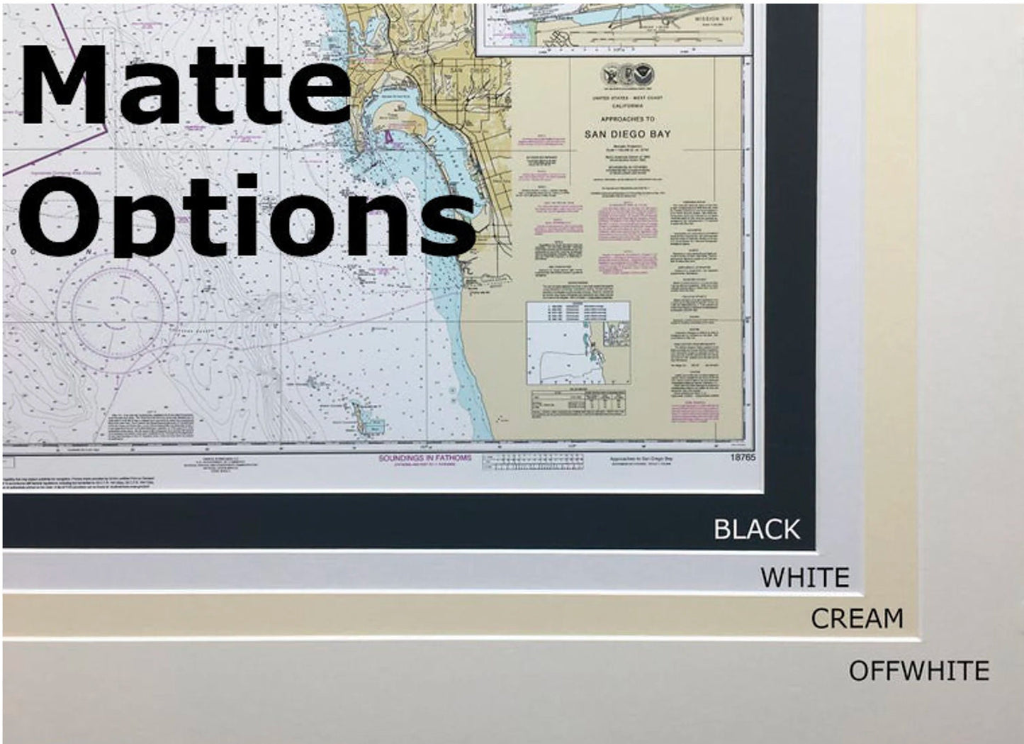
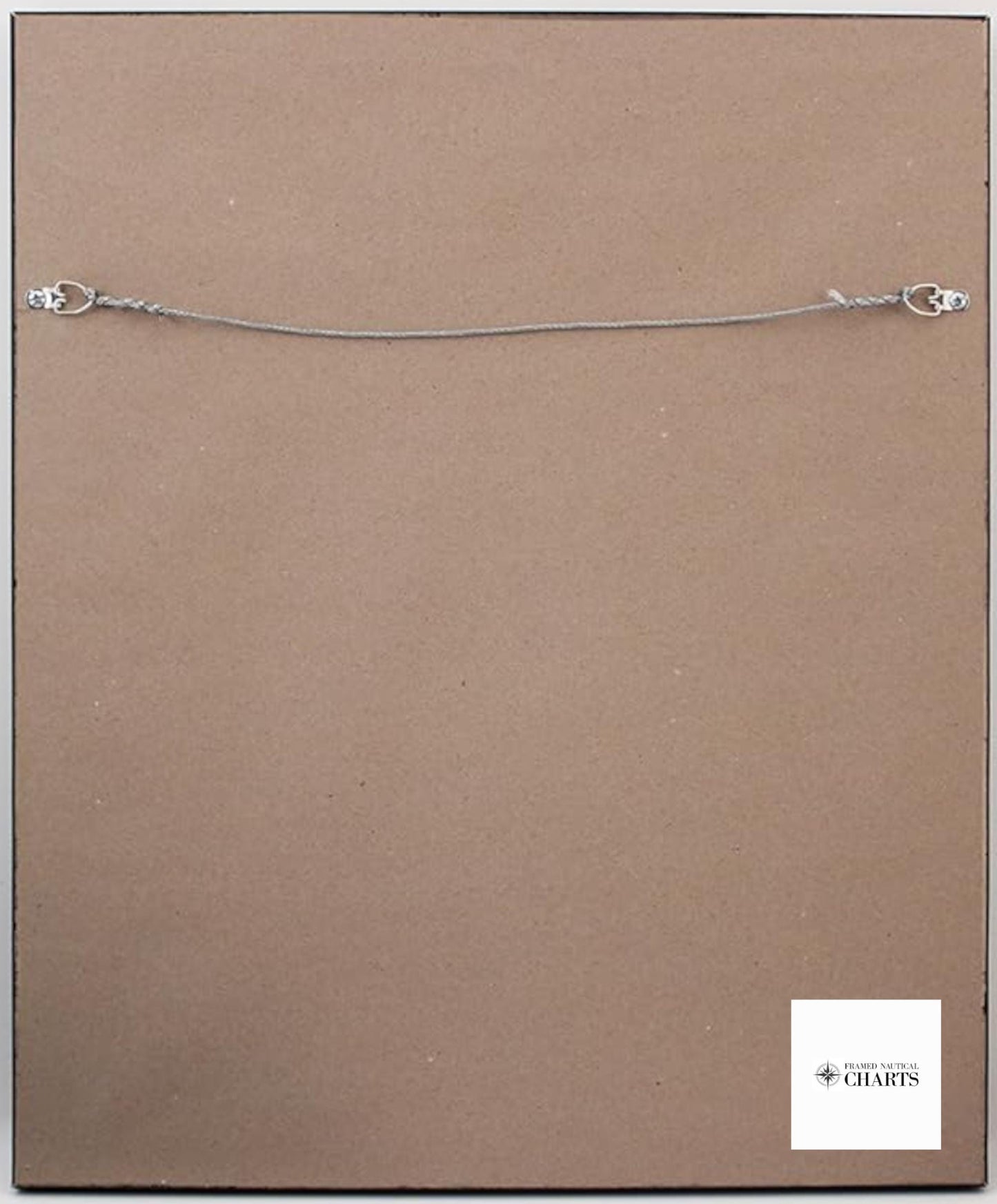
Handmade in the USA, each nautical map reflects exceptional craftsmanship and attention to detail. The chart is elegantly displayed in a solid wood frame, featuring a museum-quality print produced with archival paper and inks to ensure durability and vibrancy. It is complemented by a sleek black mat and protected by a glass front for clarity and preservation. The back of the frame is finished with a paper duster, and a convenient wire hanger is included for easy installation.
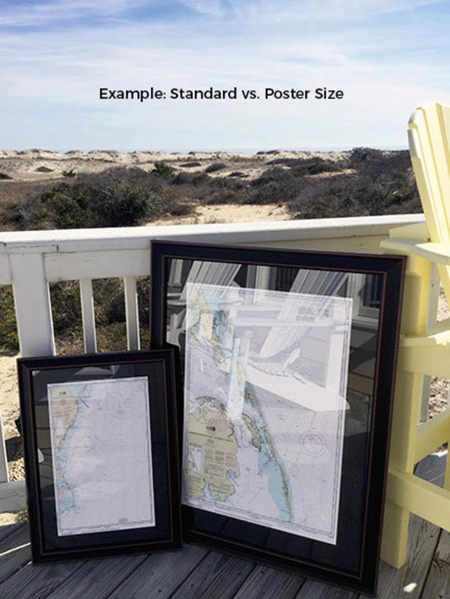
Available in two frame sizes:
- Standard size: Outer frame dimensions approximately 24" W x 20" H
- Poster size: Outer frame dimensions approximately 36" W x 30" H
If you're interested in a different framing option, please don’t hesitate to contact us with your preferences. We also welcome any sample photos you may have to help bring your vision to life.
*Important Shipping Note: We offer free ground shipping for orders within the 48 contiguous states. While we do not inflate shipping costs, please reach out for customized shipping quotes due to higher rates for shipping to Alaska and Hawaii.
Share