Framed Nautical Charts
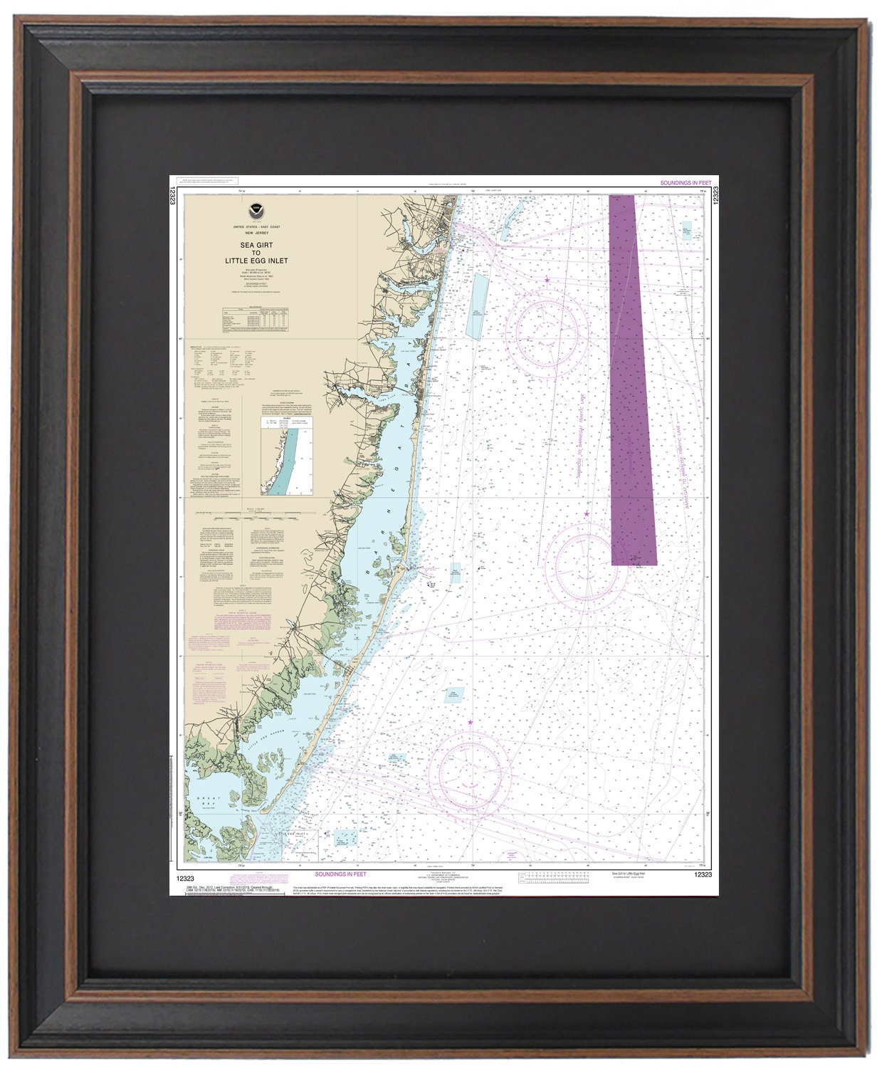
Framed Nautical Chart 12323 - Sea Girt to Little Egg Inlet, NJ. NOAA 12323. Handmade in the USA.
Framed Nautical Chart 12323 - Sea Girt to Little Egg Inlet, NJ. NOAA 12323. Handmade in the USA.
Couldn't load pickup availability
Discover the beauty of South Jersey's coast with our Framed Nautical Chart 12323, featuring the scenic waterways from Sea Girt to Little Egg Inlet. This official NOAA Nautical Chart intricately details the stunning waters of Barnegat Bay, Little Egg Harbor, and Great Bay in New Jersey.
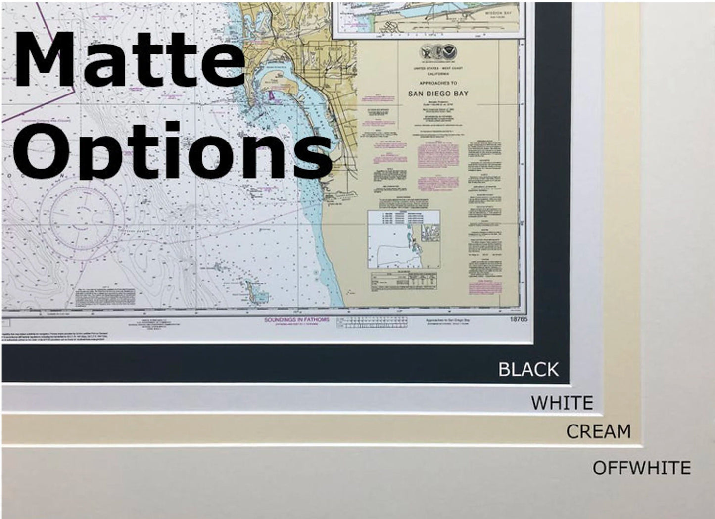
Each chart is meticulously handmade in the USA, showcasing exceptional craftsmanship. Presented in a solid wood frame, this museum-quality map is printed on archival paper using fade-resistant inks. The design includes a sophisticated black mat and is protected by a glass front for durability and elegance. To ensure a polished finish, the back is completed with a paper dust cover, and a wire hanger is provided for effortless installation.
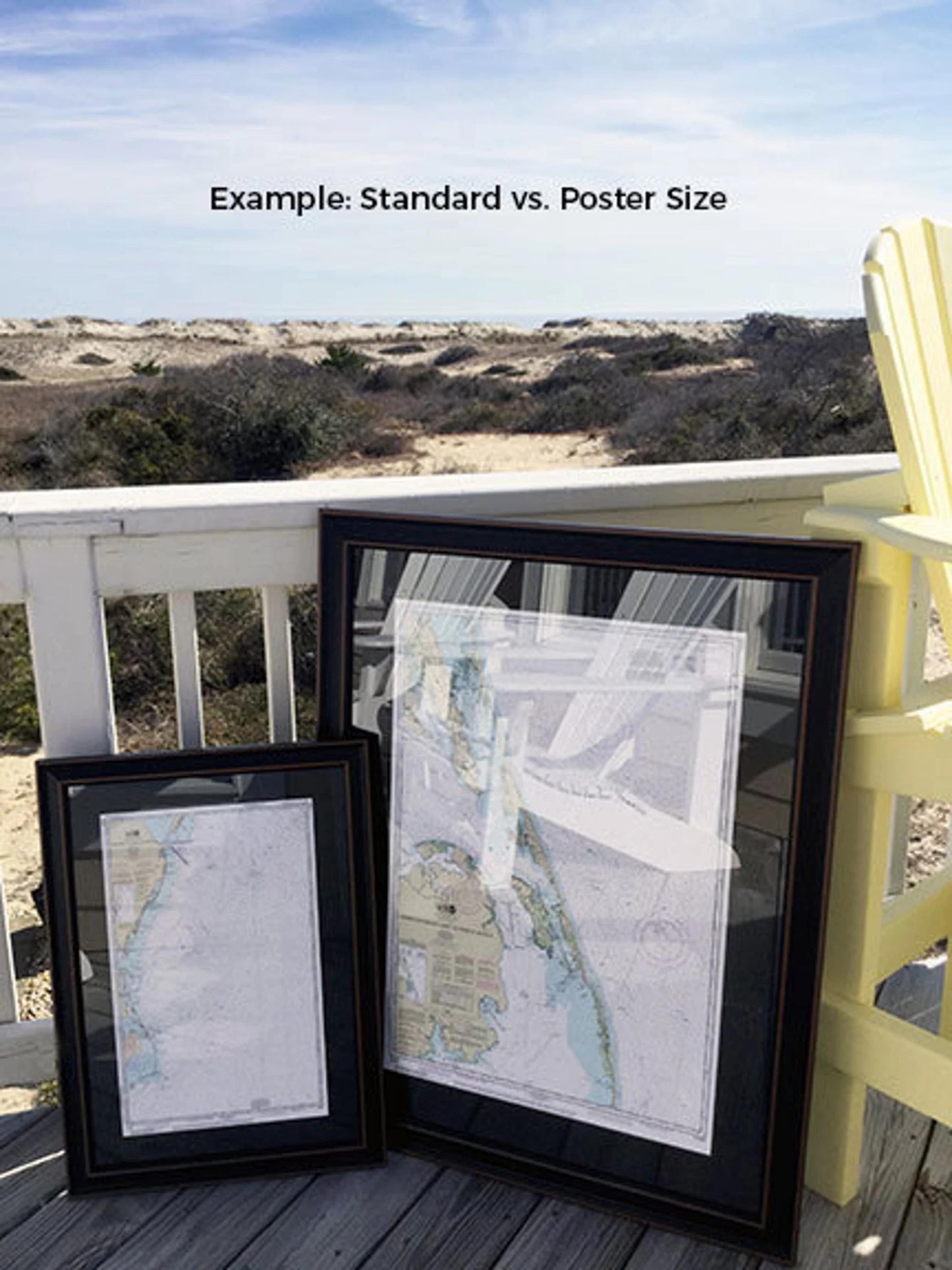
We offer this beautiful chart in two sizes:
- Standard size: outer frame dimensions approximately 24" H x 19 1/4" W
- Poster size: outer frame dimensions approximately 36" H x 29" W
If you require a different framing option, please don't hesitate to contact us with your preferences. We would love to work with any sample photos you provide to create your ideal representation.
*Important Shipping Note: Enjoy free ground shipping for orders shipped within the 48 contiguous states. We strive to keep shipping costs transparent and do not add extra fees; however, due to higher shipping costs to Alaska and Hawaii, please reach out for a customized shipping quote.
Share