Framed Nautical Charts
Framed Nautical Chart 12317 - Cape May Harbor. NOAA 12317. Handmade in the USA.
Framed Nautical Chart 12317 - Cape May Harbor. NOAA 12317. Handmade in the USA.
Couldn't load pickup availability
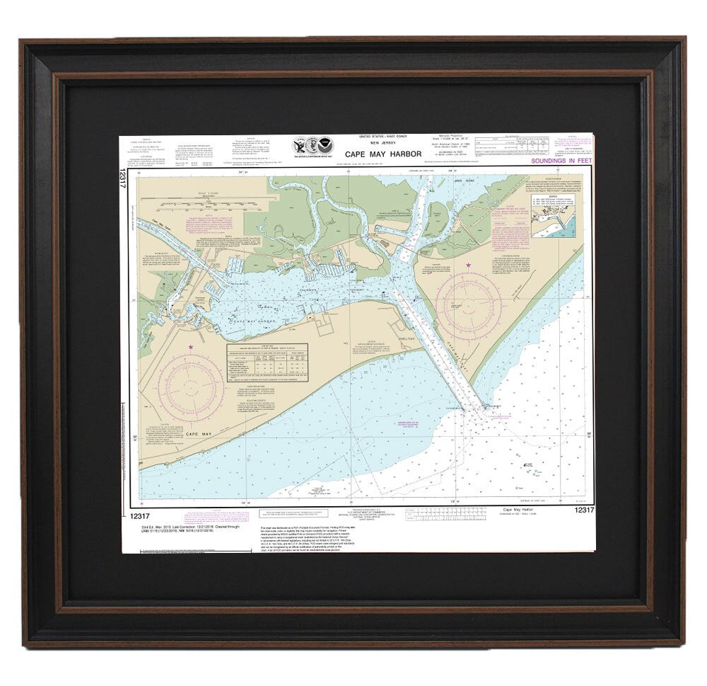
This beautifully framed nautical map showcases the stunning waters of Cape May Harbor along the New Jersey shore. Officially recognized as NOAA Chart 12317, this piece not only serves as a functional navigational tool but also as an exquisite piece of art. Each chart is meticulously handmade in the USA, ensuring exceptional craftsmanship and attention to detail.
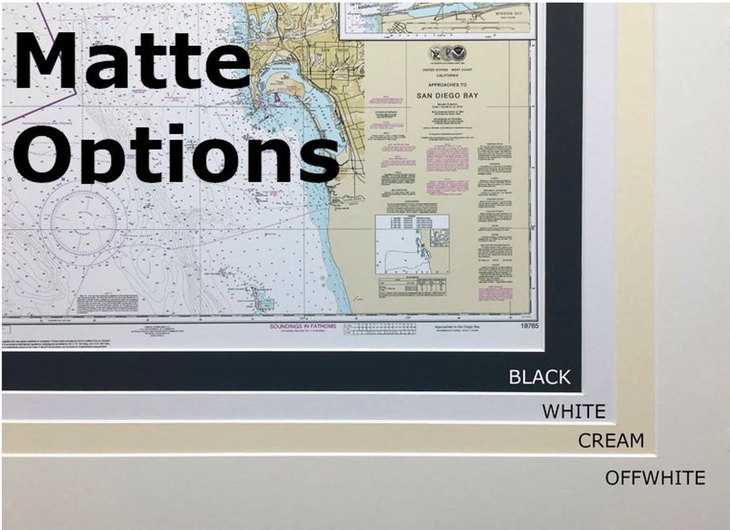
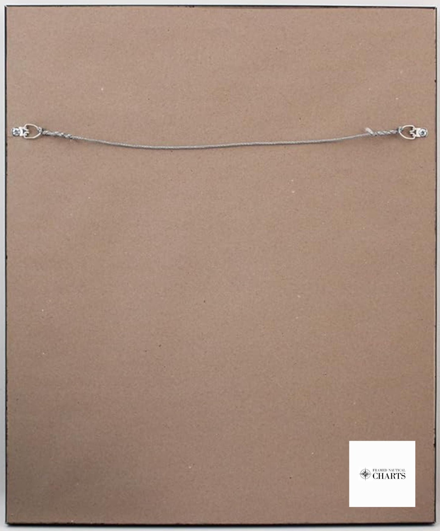
Presented in a solid wood frame, this nautical chart features a museum-quality print crafted from archival paper and inks designed to last. The elegant black mat adds depth to the presentation, while the glass front protects the map for years of enjoyment. The back is finished with a paper duster to give it a polished look, and a wire hanger is conveniently included for easy installation.
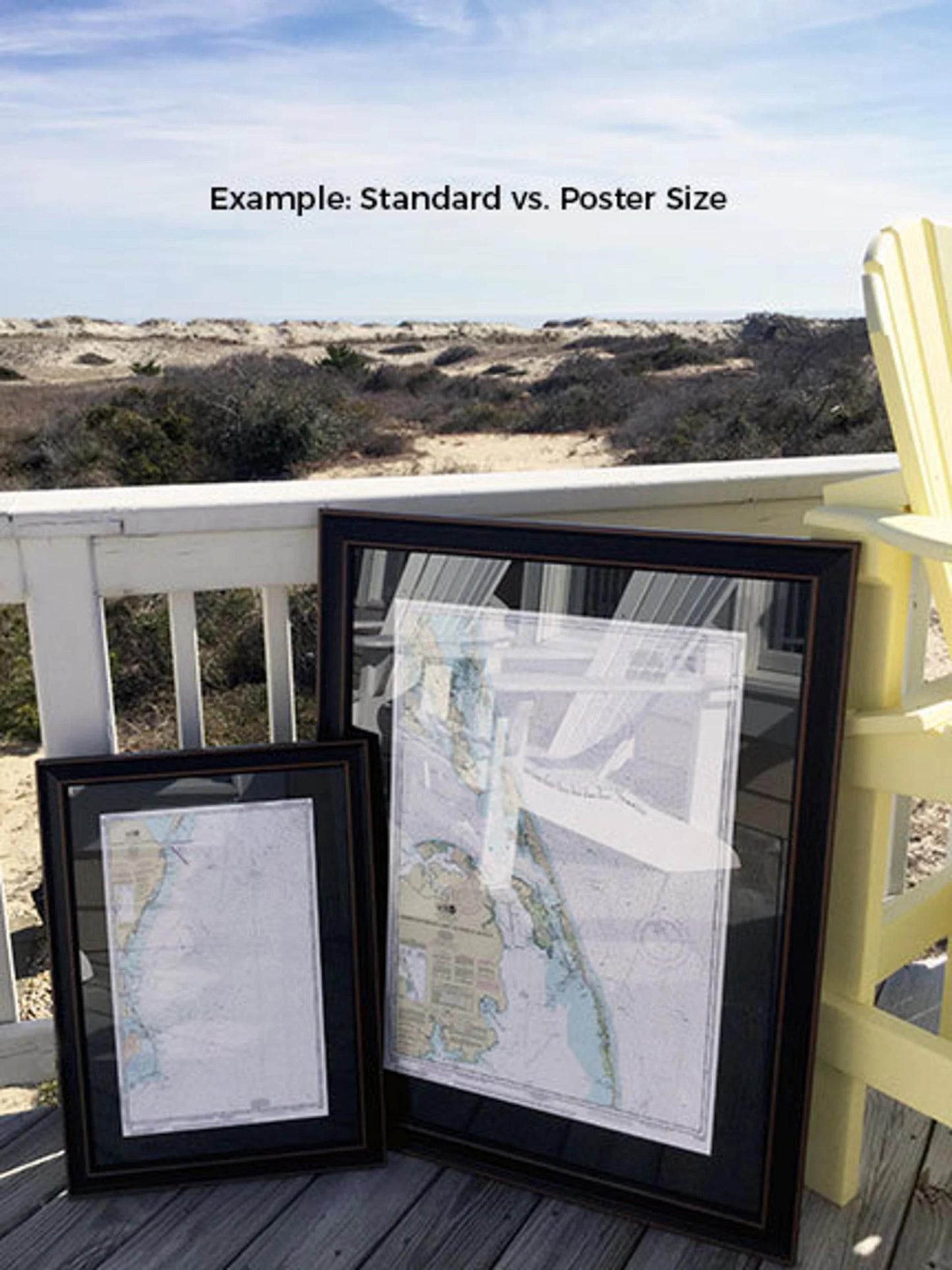
Available in two sizes to fit your space perfectly:
- Standard size - outer frame dimensions approximately 24" W x 20 3/4" H
- Poster size - outer frame dimensions approximately 36" W x 31" H
If you’re seeking a different frame option or have specific preferences, feel free to reach out with your ideas. We welcome any sample photos you may have to help us create exactly what you envision.
*Important Shipping Note: Free ground shipping is offered for deliveries within the 48 contiguous states. While we don’t inflate our shipping costs, please contact us for a custom shipping quote for Alaska and Hawaii due to the higher shipping rates.
Share