Framed Nautical Charts
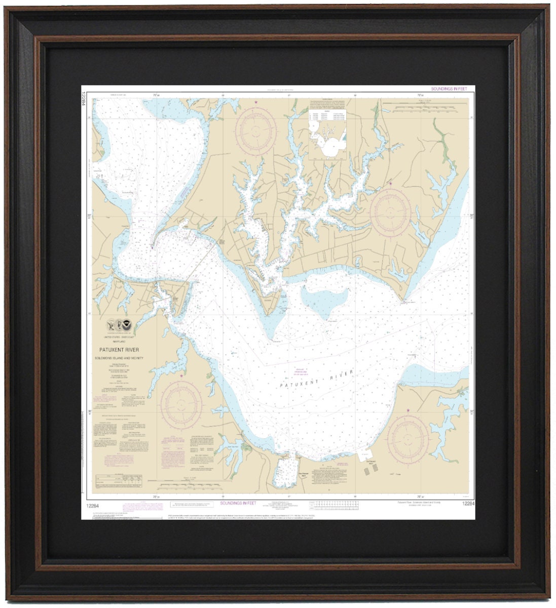
Framed Nautical Chart 12284 - Patuxent River Solomons lsland and Vicinity. NOAA 12284. Handmade in the USA.
Framed Nautical Chart 12284 - Patuxent River Solomons lsland and Vicinity. NOAA 12284. Handmade in the USA.
Couldn't load pickup availability
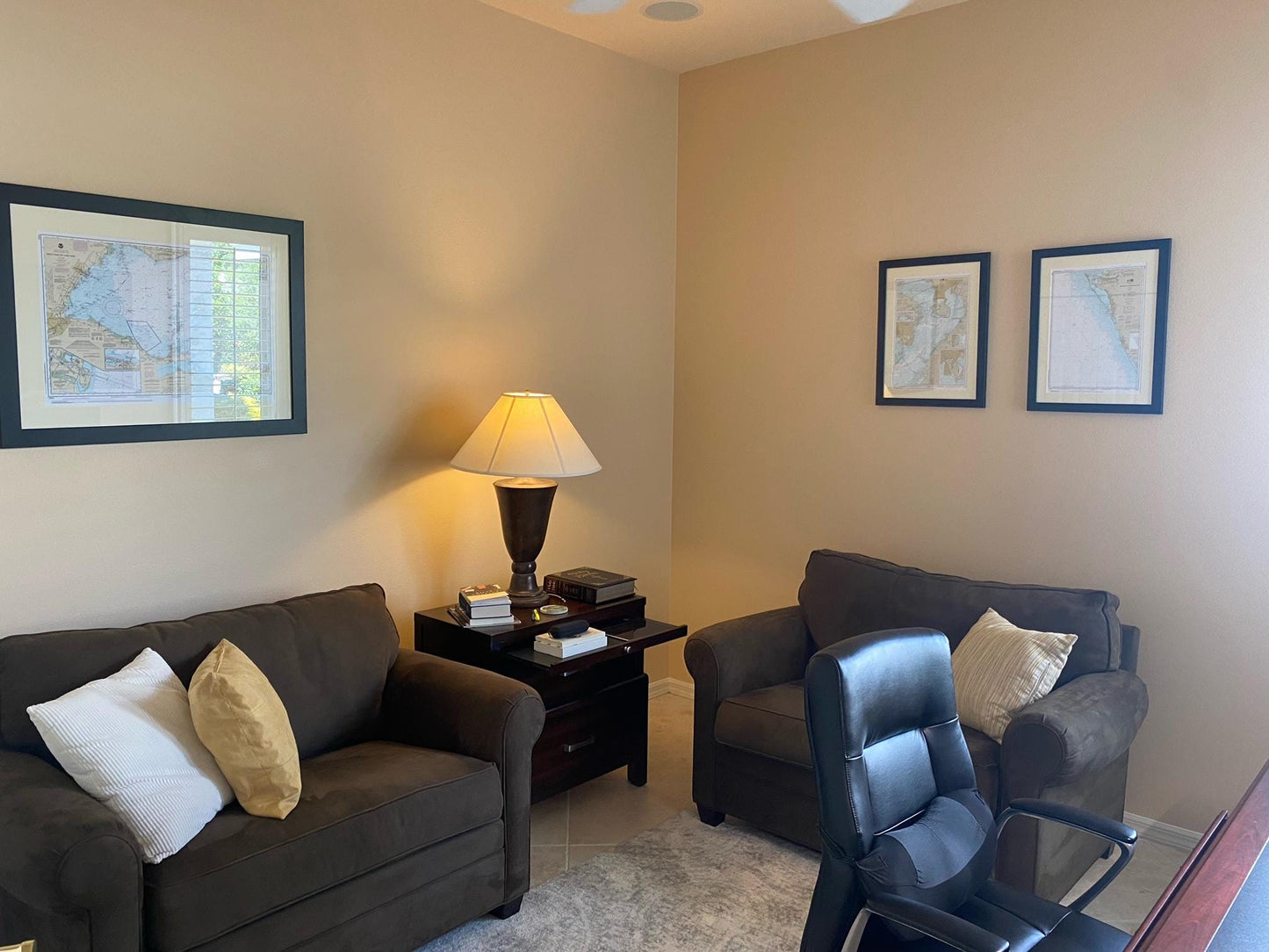
Discover the beauty of the Patuxent River with our Framed Nautical Chart 12284, showcasing Solomons Island and its surrounding waterways in the Chesapeake Bay. This official NOAA Nautical Chart meticulously details the intricate navigational routes of this stunning region.
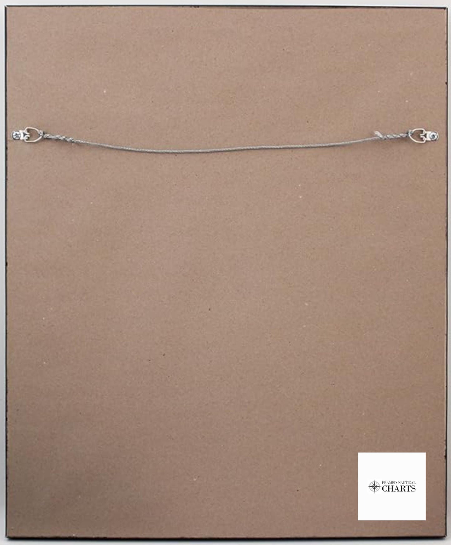
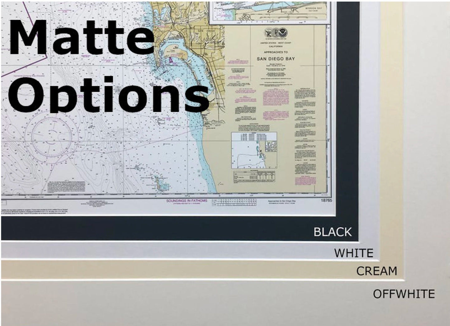
Each chart is handcrafted in the USA, exemplifying exceptional craftsmanship and quality. The nautical map is elegantly displayed in a solid wood frame and features a museum-quality print created from archival paper and inks. A sophisticated black mat enhances the visual appeal, while a protective glass front ensures durability and clarity. The back is finished with a paper duster for a polished look, and a wire hanger is included for effortless installation.
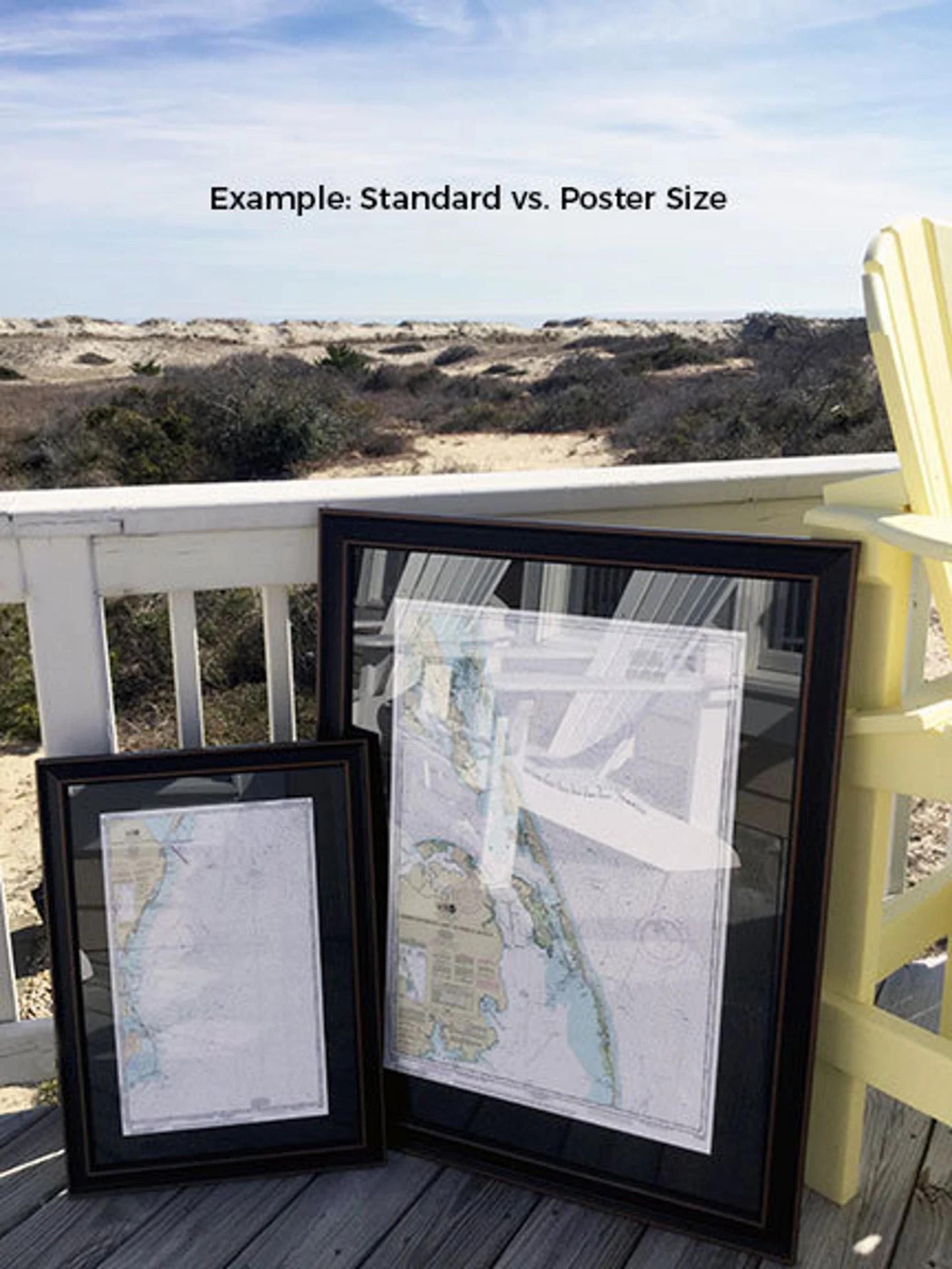
Available in two sizes, you can choose the perfect fit for your space:
- Standard size: approximately 24" W x 24" H
- Poster size: approximately 36" W x 36" H
If you have specific frame requests or sample photos to share, please reach out; we are eager to help you create the perfect piece to match your vision.
*Important Shipping Note: Free ground shipping is available for orders shipped to the 48 contiguous states. We do not inflate shipping costs; however, due to the high expenses associated with shipping to Alaska and Hawaii, we kindly encourage you to contact us for a custom shipping quote.
Share