Framed Nautical Charts
Framed Nautical Chart 12272 - Chesapeake Bay. Chester River. Kent Island, Rock Hall Harbor and Swan Creek. NOAA 12272. Handmade in the USA.
Framed Nautical Chart 12272 - Chesapeake Bay. Chester River. Kent Island, Rock Hall Harbor and Swan Creek. NOAA 12272. Handmade in the USA.
Couldn't load pickup availability
Discover the beauty of the Chesapeake Bay with this exquisite framed nautical map, featuring the captivating waters of the Chester River, Kent Island Narrows, Rock Hall Harbor, and Swan Creek. This official NOAA 12272 nautical chart offers intricate details of these picturesque waterways, making it a perfect addition to any nautical-themed decor.
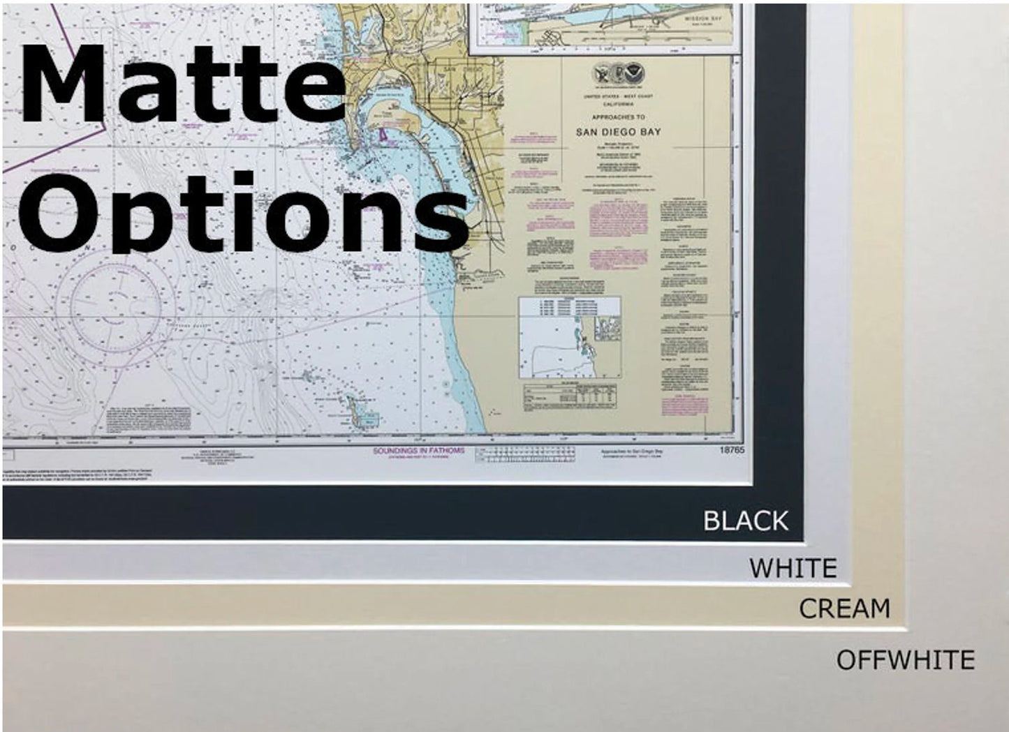
Each map is custom handmade in the USA, showcasing meticulous craftsmanship and attention to detail. The chart is beautifully displayed in a solid wood frame, complemented by a museum-quality print crafted from archival paper and inks for long-lasting vibrancy. A sleek black mat enhances the visual appeal, while a protective glass front ensures the map remains in pristine condition.
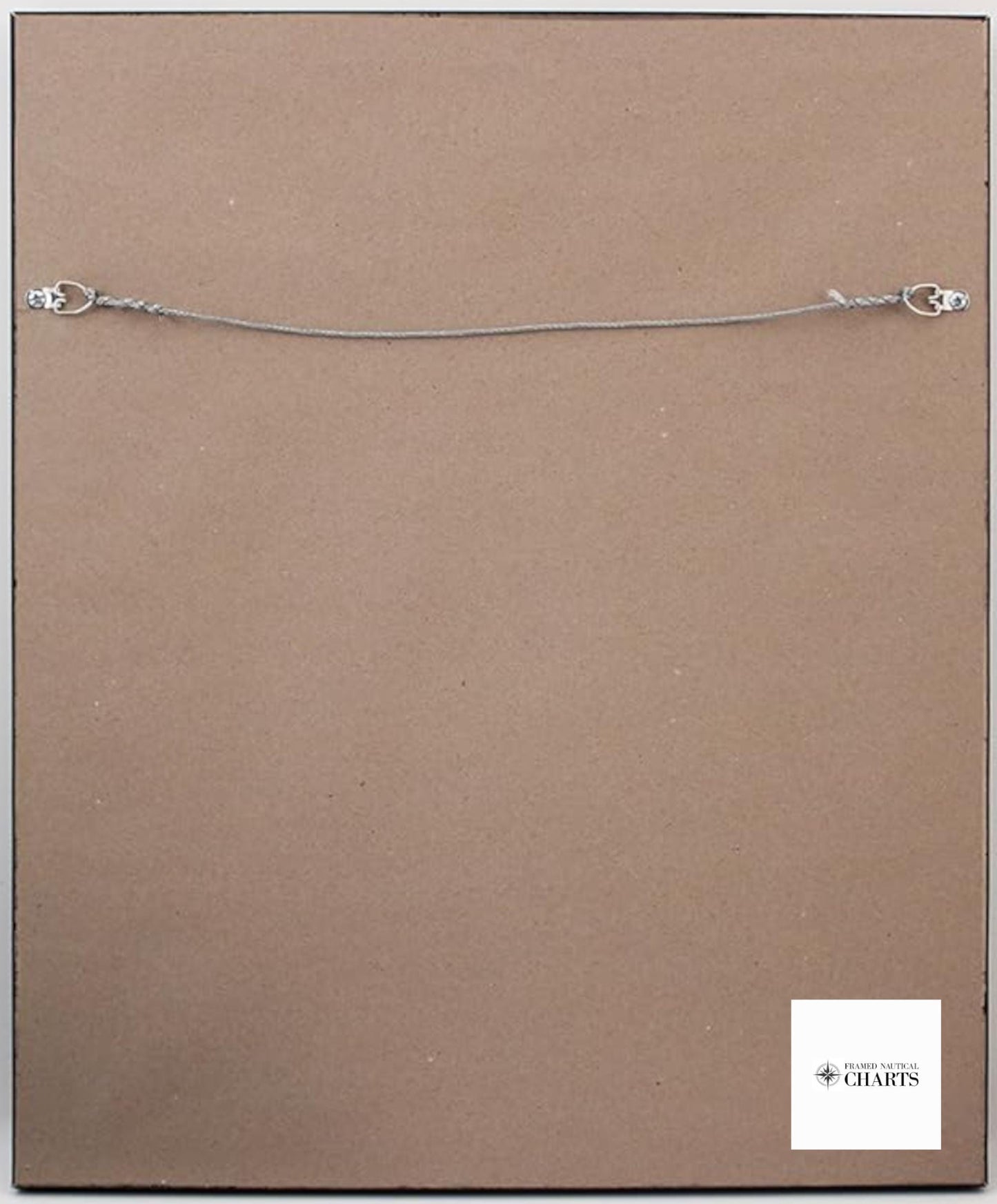
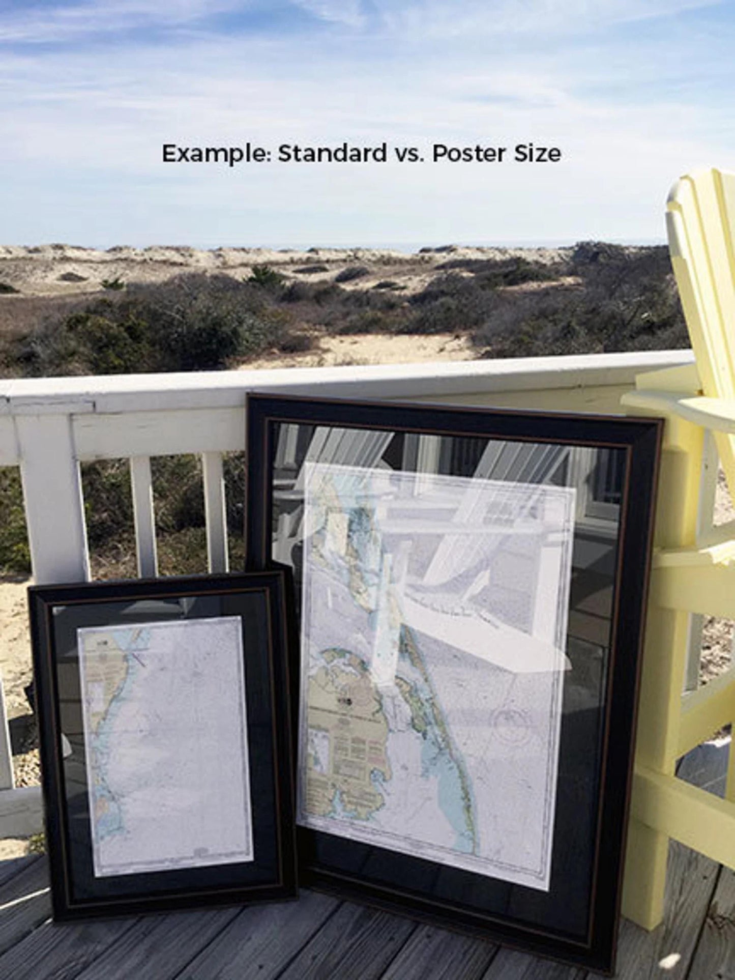
The back of the frame is finished with a paper duster, and a wire hanger is included for easy installation on your wall. Available in two sizes:
- Standard size: Approx. 24" W x 20 3/4" H
- Poster size: Approx. 36" W x 31" H
If you’re seeking a different frame option, please reach out with your request. We welcome any sample photos you may have to help us bring your vision to life.
*Important Shipping Note: Free ground shipping is available only for shipments within the 48 contiguous states. While we do not mark up additional shipping costs, please contact us for custom shipping quotes to Alaska and Hawaii, as costs tend to be higher.
Share