Framed Nautical Charts
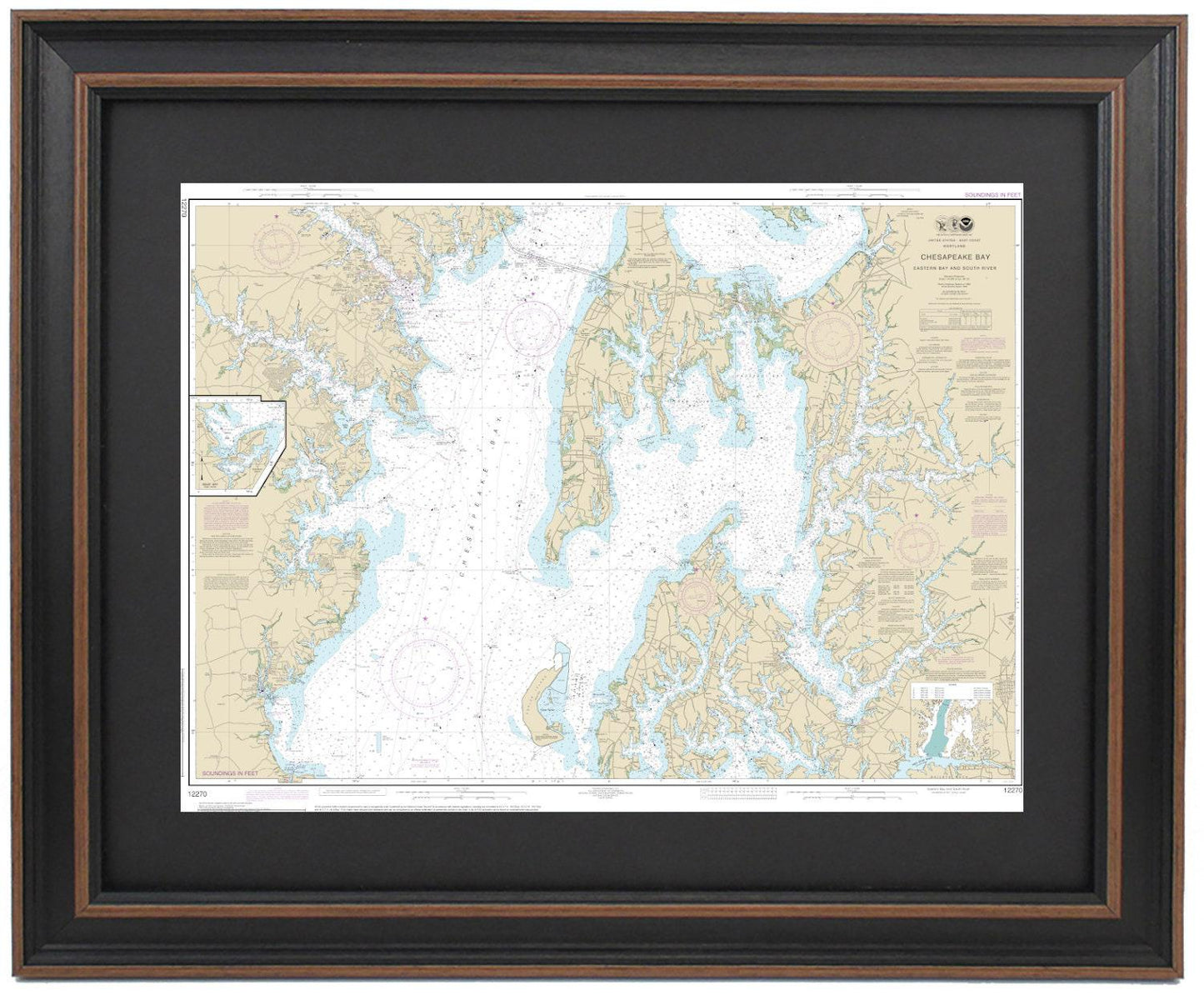
Framed Nautical Chart 12270 - Chesapeake Bay. Eastern Bay and South River. NOAA 12270. Handmade in the USA.
Framed Nautical Chart 12270 - Chesapeake Bay. Eastern Bay and South River. NOAA 12270. Handmade in the USA.
Couldn't load pickup availability
Discover the beauty of the Chesapeake Bay with our expertly crafted Framed Nautical Chart 12270, featuring the stunning Eastern Bay and South River. This official NOAA Nautical Chart is a perfect representation of these picturesque waterways, showcasing intricate details that any nautical enthusiast would appreciate. Each chart is meticulously handmade in the USA, demonstrating our commitment to high-quality craftsmanship.
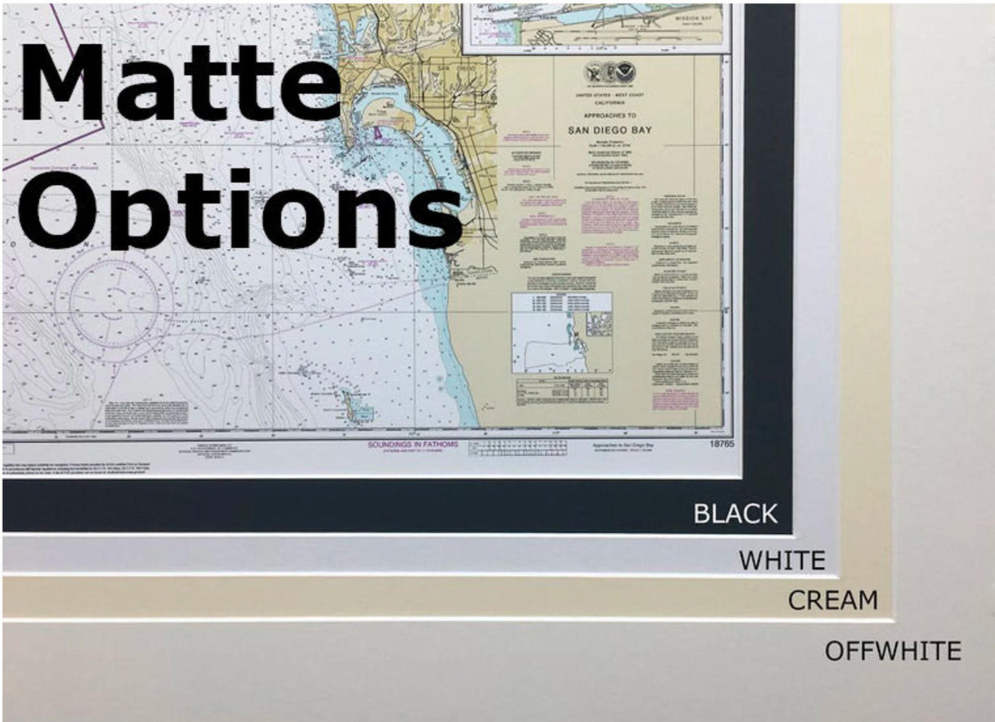
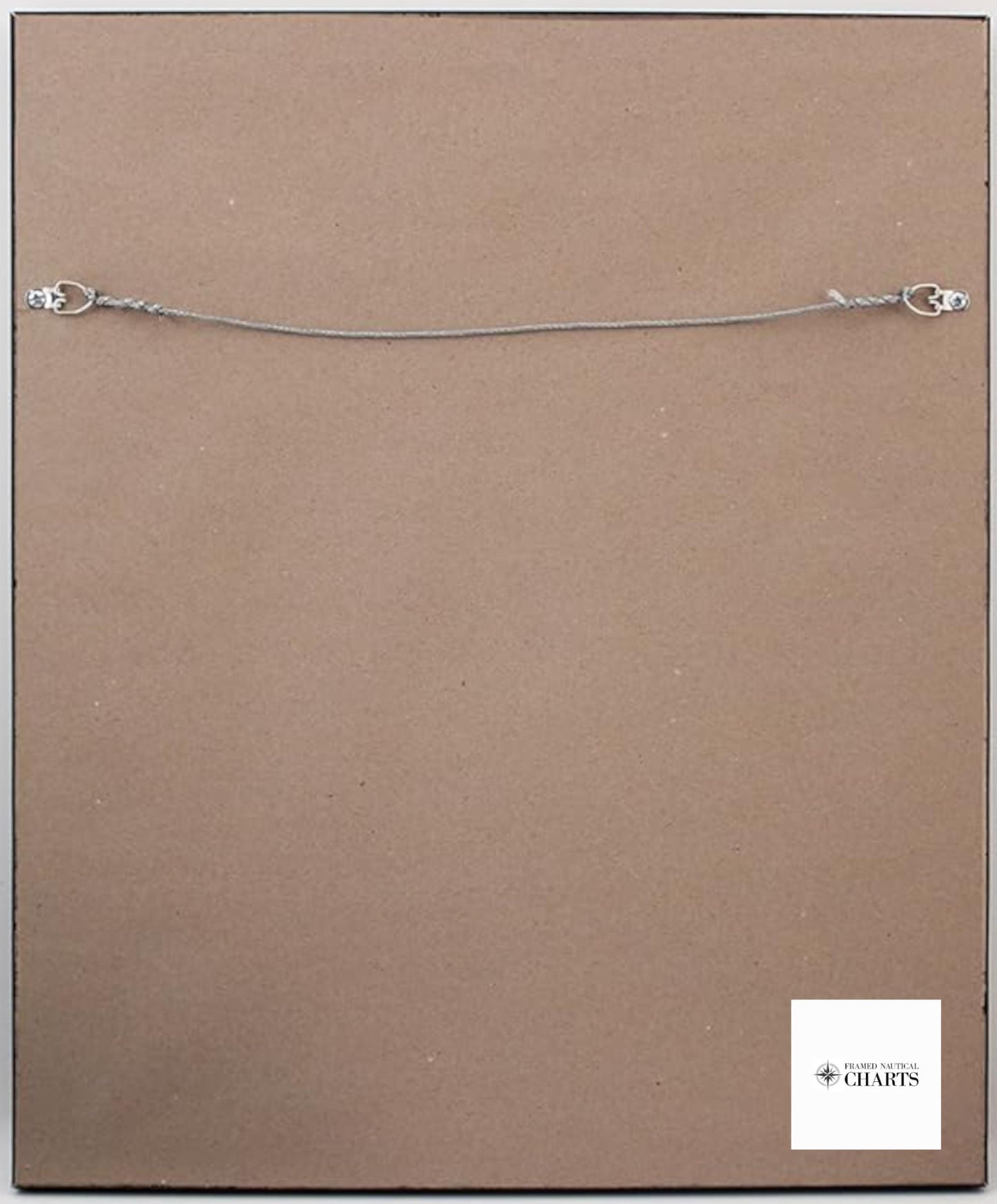
The chart comes elegantly displayed in a solid wood frame and includes a museum-quality print created using archival paper and inks to ensure durability. It is complemented by a black mat and safeguarded with a protective glass front. The back is neatly finished with a paper duster, and a wire hanger is attached for effortless installation.
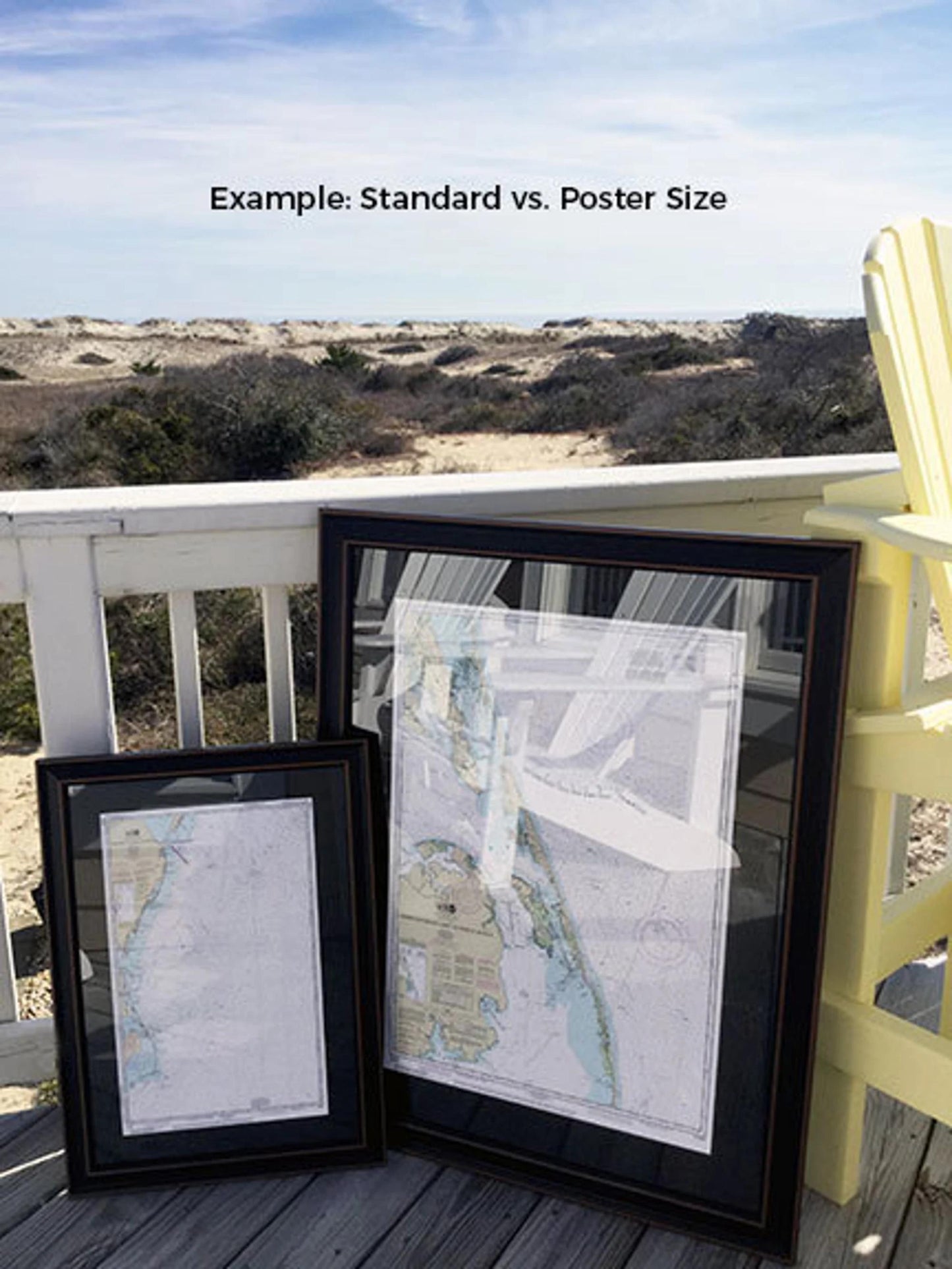
We offer two frame sizes to suit your space:
- Standard size: Approx. 24" W x 18" H
- Poster size: Approx. 36" W x 27" H
If you have a specific frame style in mind or need a different size, please don’t hesitate to reach out to us. We are happy to collaborate and create the perfect piece tailored to your vision.
*Important Shipping Note: Free ground shipping is available for deliveries within the 48 contiguous states. While we do not inflate our shipping prices, please note that shipping to Alaska and Hawaii incurs additional costs. Contact us for a custom shipping quote.
Share