Framed Nautical Charts
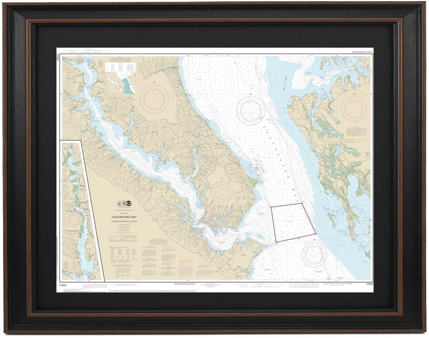
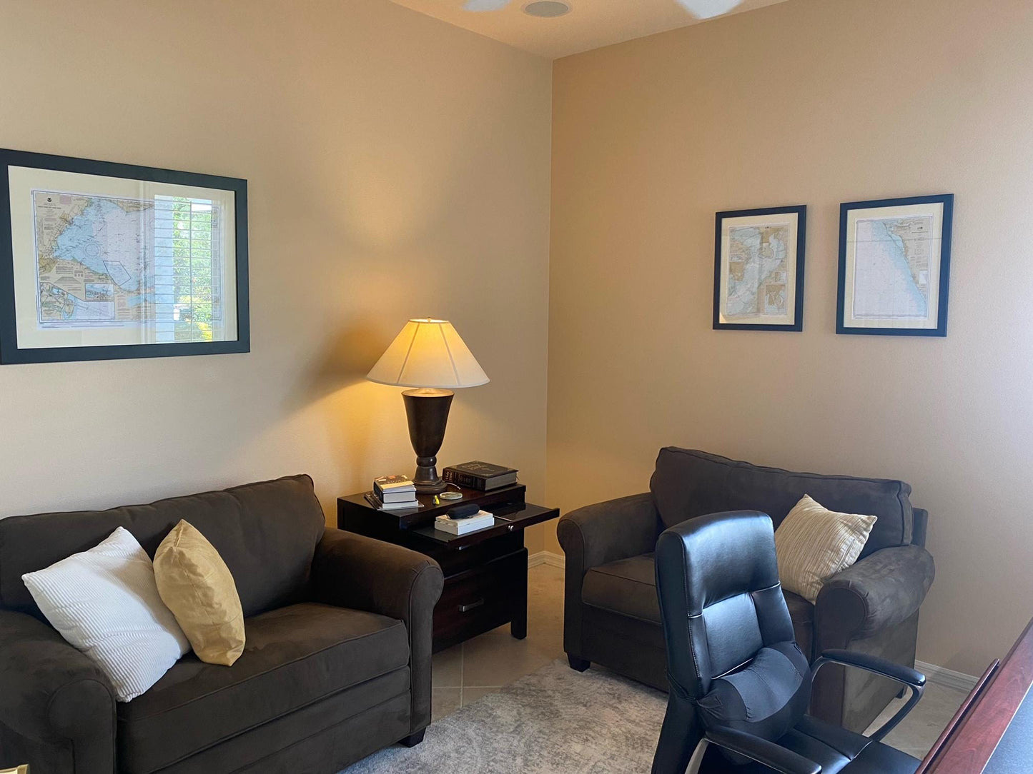
Framed Nautical Chart 12264 - Chesapeake Bay. Patuxent River and Vicinity. NOAA 12264. Handmade in the USA.
Framed Nautical Chart 12264 - Chesapeake Bay. Patuxent River and Vicinity. NOAA 12264. Handmade in the USA.
Couldn't load pickup availability
Discover the beauty and detail of the Patuxent River and surrounding areas of Chesapeake Bay with our exquisite Framed Nautical Chart NOAA 12264. This official NOAA Nautical Chart showcases the intricate waterways, including notable rivers like the Solomons, all meticulously crafted for your enjoyment.
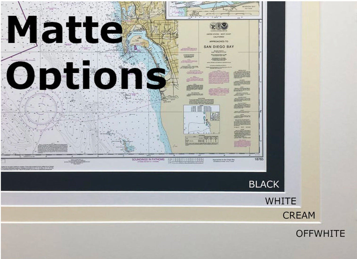
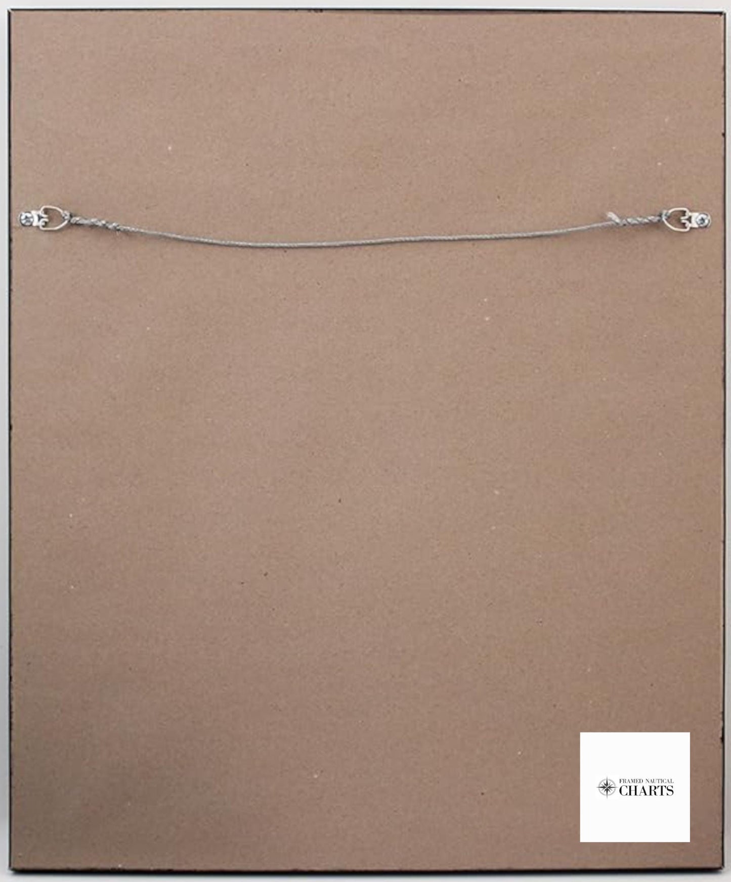
Each chart is handmade in the USA, reflecting exceptional quality and craftsmanship. We present the chart in a solid wood frame, complemented by a museum-quality print made from archival paper and inks that ensure longevity and vibrancy. To enhance its visual appeal, the design features a sleek black mat and is protected by a durable glass front. The back is neatly finished with a paper duster, and a wire hanger is included for easy installation.
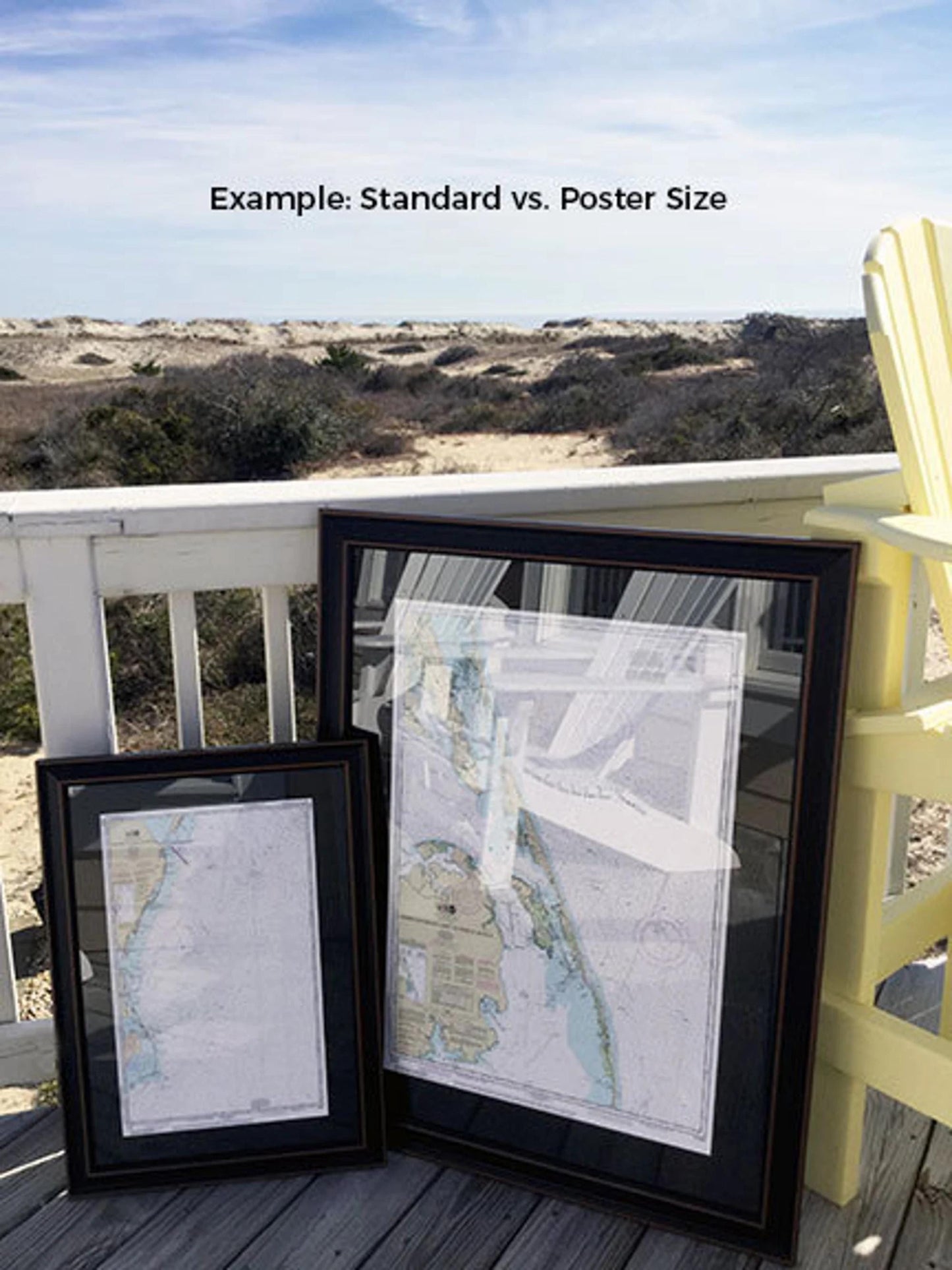
Available in two sizes to suit your space:
- Standard size: Outer frame dimensions approximately 24" W x 18 1/2" H
- Poster size: Outer frame dimensions approximately 36" W x 27 3/4" H
If you're looking for a custom frame option, please don't hesitate to reach out with your request. We welcome any sample images to help bring your vision to life.
*Important Shipping Note: Free ground shipping is available only for shipments within the 48 contiguous states. We do not inflate shipping costs; however, due to higher shipping expenses to Alaska and Hawaii, please contact us for a custom shipping quote. Enjoy a piece of nautical history and transform your space with our handcrafted chart!
Share