Framed Nautical Charts
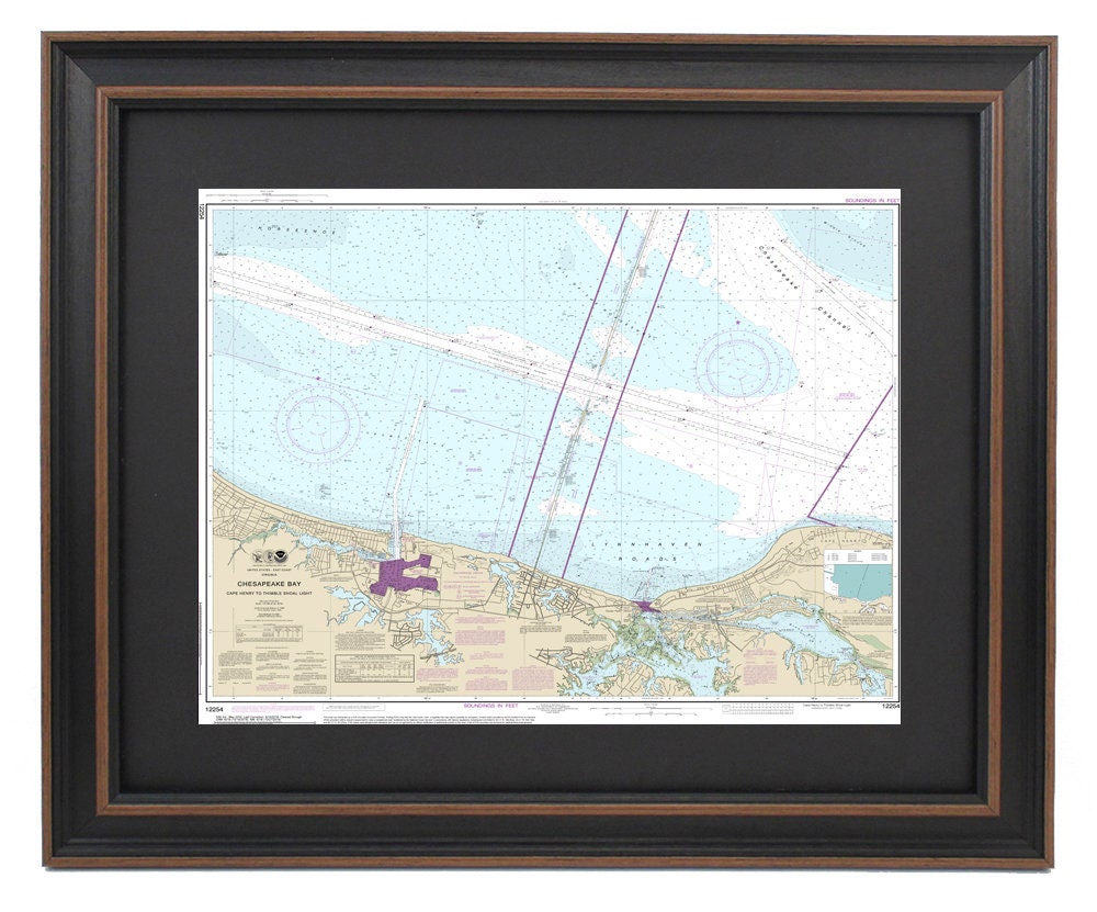
Framed Nautical Chart 12254 - Cape Henry to Thimble Shoals Light. NOAA 12254. Handmade in the USA.
Framed Nautical Chart 12254 - Cape Henry to Thimble Shoals Light. NOAA 12254. Handmade in the USA.
Couldn't load pickup availability
This beautifully framed nautical chart, NOAA 12254, captures the stunning waters from Cape Henry to Thimble Shoals Light, Virginia. It serves as the official NOAA Nautical Chart, providing detailed insights into the waterways and coastal regions surrounding the southern landing of the Chesapeake Bay Bridge. Each chart is meticulously handmade in the USA, showcasing exceptional craftsmanship and quality.
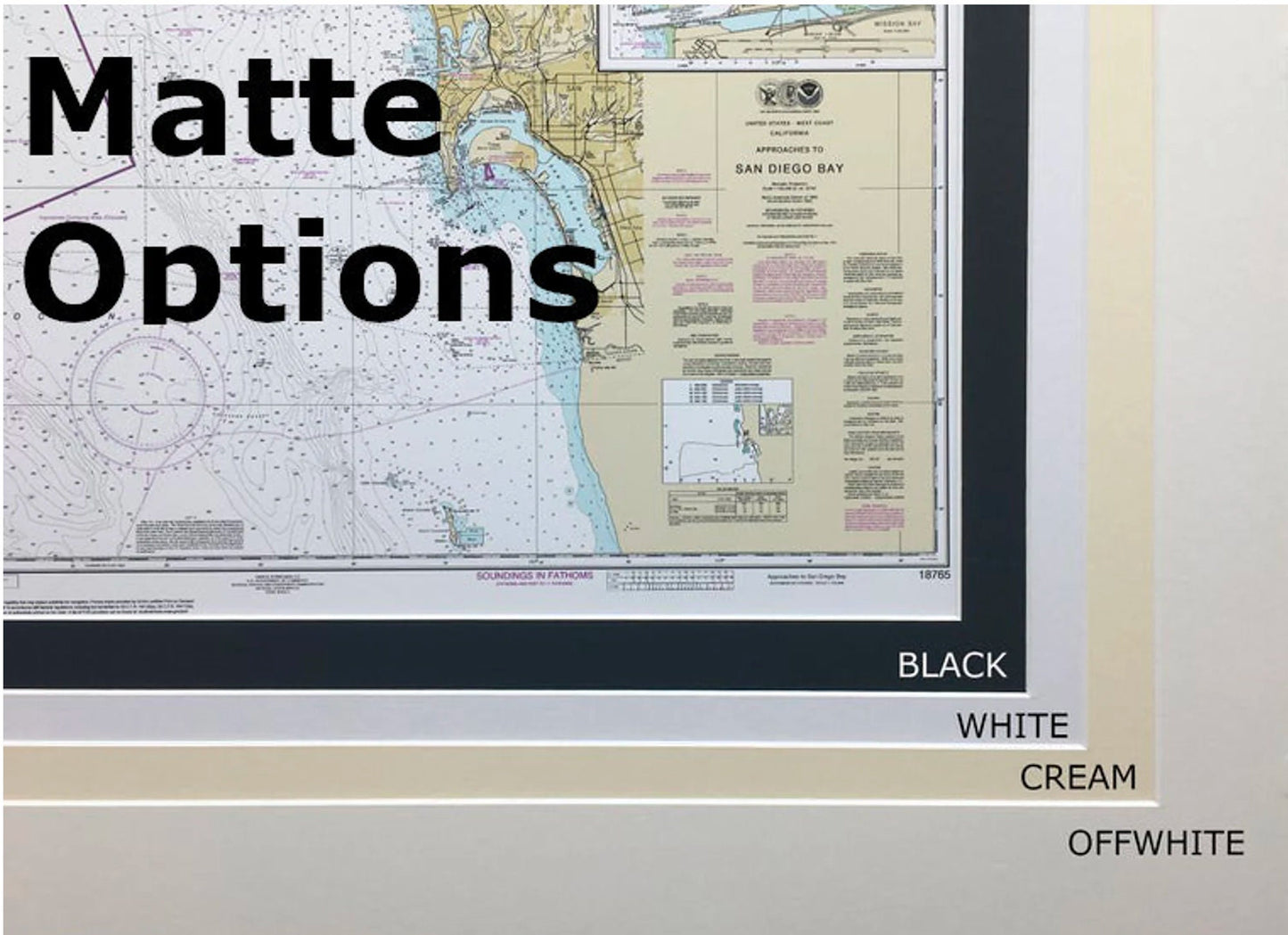
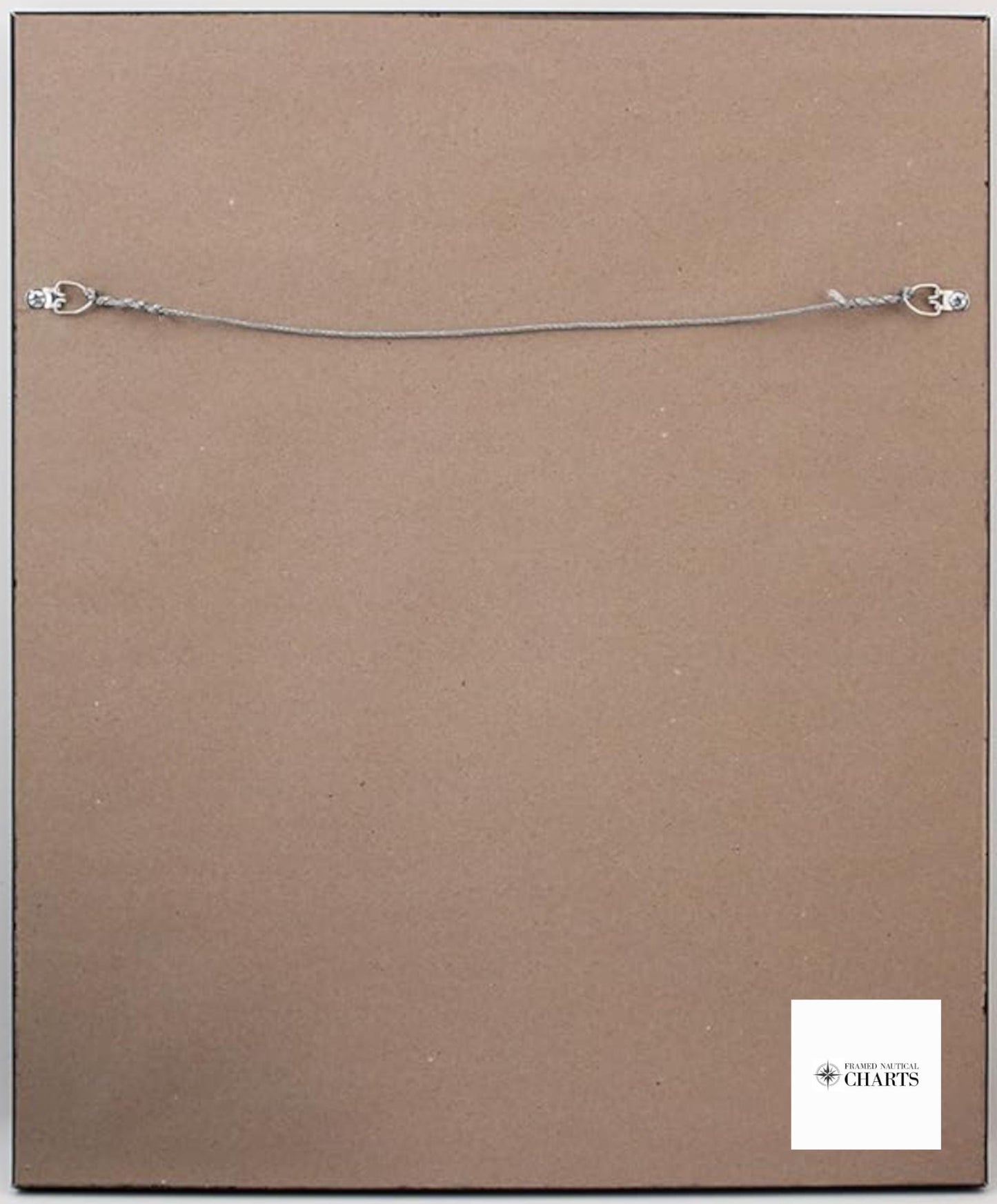
Presented in a solid wood frame, this nautical map features a museum-quality print that is crafted from archival paper and inks, ensuring longevity and vibrancy. The chart is elegantly enhanced with a black mat for a sophisticated touch and is protected by a glass front. The back is finished with a paper duster, ensuring a polished look, while a wire hanger is included for easy installation.
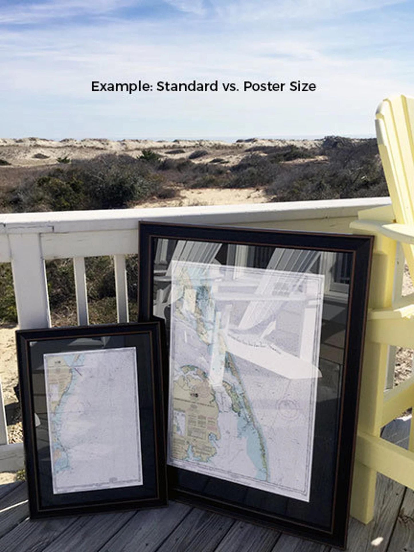
Choose from two sizes to suit your space:
- Standard size: outer frame dimensions approximately 24" W x 20" H
- Poster size: outer frame dimensions approximately 36" W x 30" H
Enjoy free ground shipping within the 48 contiguous states. For custom shipping quotes to Alaska and Hawaii, please reach out to us. If you have specific framing requests or sample photos that can help us create your ideal piece, we would love to hear from you. Transform your space with this exquisite nautical chart, a perfect homage to the beauty of Virginia's waterways.
Share