Framed Nautical Charts
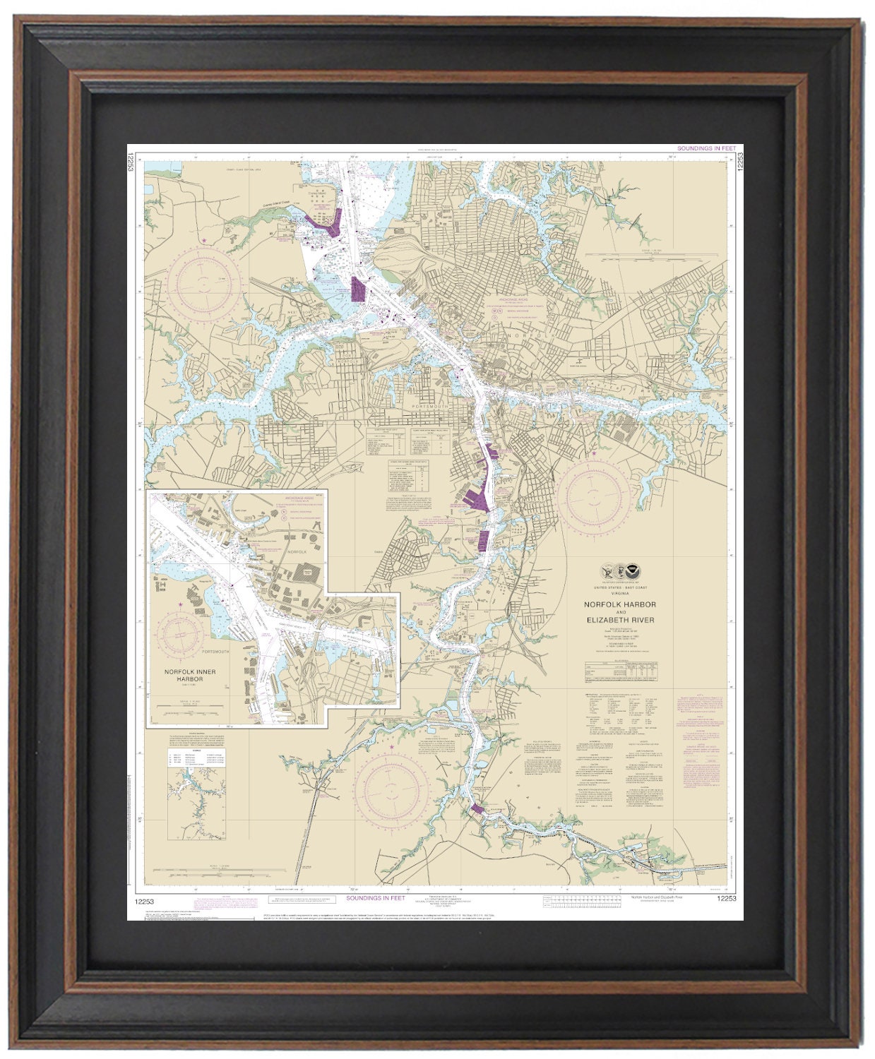
Framed Nautical Chart 12253 - Norfolk Harbor and Elizabeth River. NOAA 12253. Handmade in the USA.
Framed Nautical Chart 12253 - Norfolk Harbor and Elizabeth River. NOAA 12253. Handmade in the USA.
Couldn't load pickup availability
Discover the captivating beauty of Norfolk Harbor and the Elizabeth River with our beautifully framed NOAA Nautical Chart 12253. This official nautical chart showcases the intricate details of the stunning waters and coastline, highlighting key areas such as West Norfolk, Portsmouth, Port Norfolk, and surrounding towns.
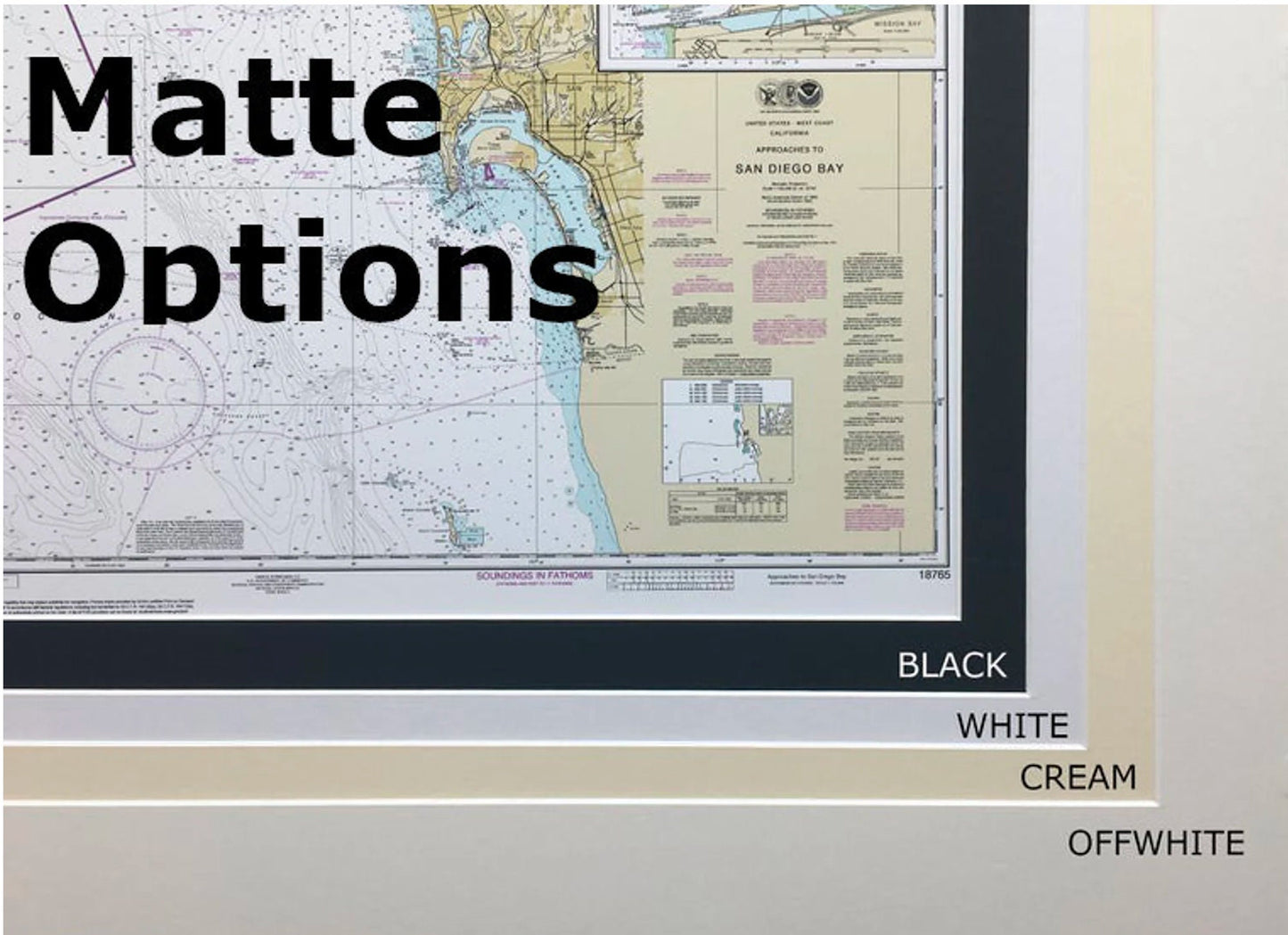
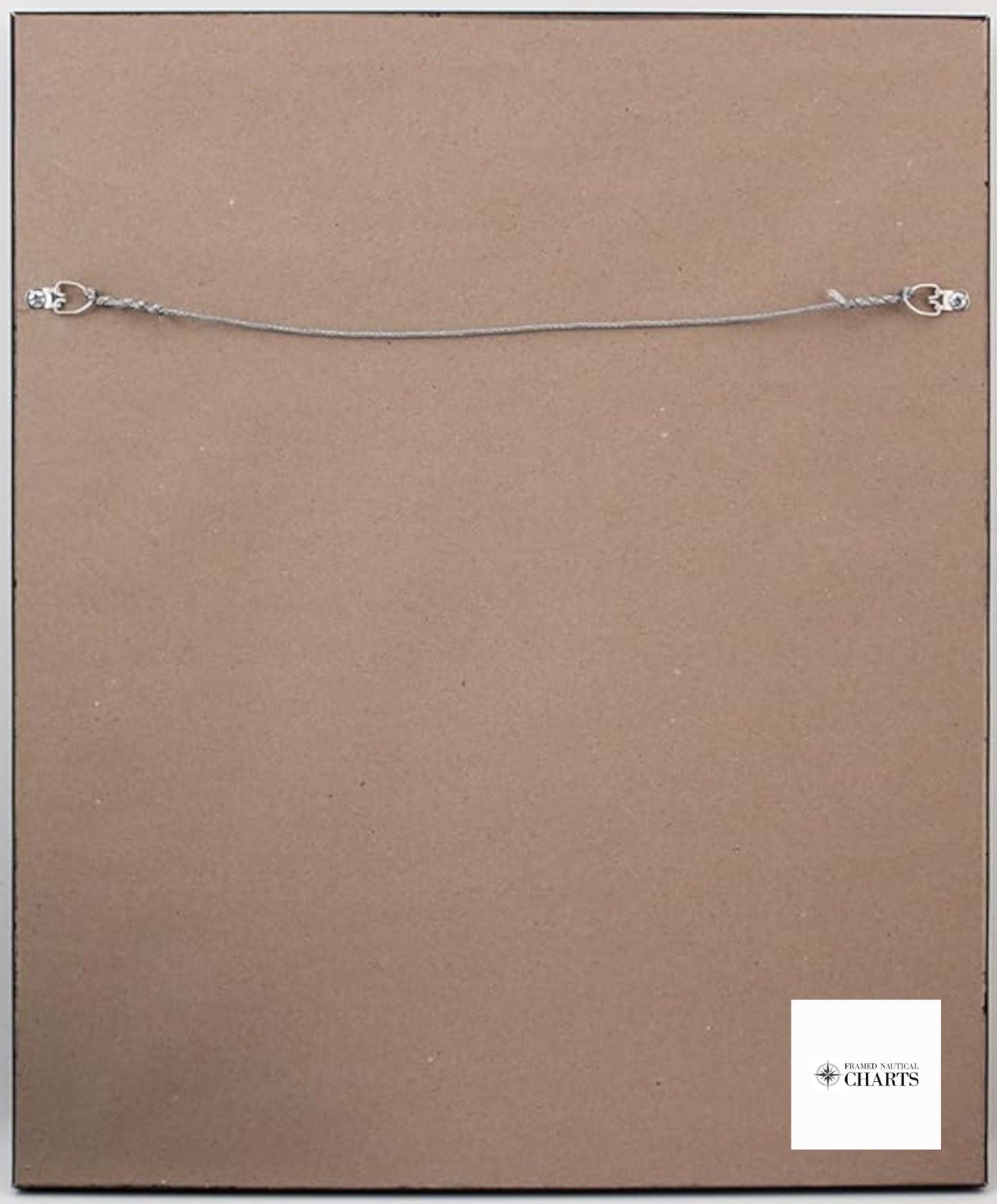
Crafted with meticulous care in the USA, each chart exemplifies exceptional craftsmanship and is presented in a solid wood frame that complements any decor. The museum-quality print is produced on archival paper using premium inks, ensuring durability and longevity. Enhancing its appeal, the chart is elegantly matted in black and protected by a glass front for a refined finish. The back is neatly finished with a paper duster, and a wire hanger is included for effortless wall mounting.
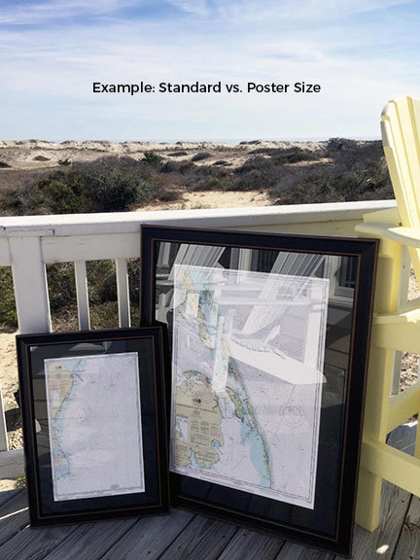
Choose from two convenient sizes for your framed chart: the standard size with outer dimensions of approximately 19" W x 24" H, or the poster size measuring approximately 28 1/2" W x 36" H. If you have a different framing style in mind or would like to provide sample photos for inspiration, we encourage you to reach out to us. We are more than happy to collaborate and create a piece that aligns perfectly with your vision.
*Important Shipping Note: We offer free ground shipping within the 48 contiguous states. While we do not inflate shipping costs, please contact us for tailored shipping quotes if you reside in Alaska or Hawaii due to the significantly higher shipping fees.
Share