Framed Nautical Charts
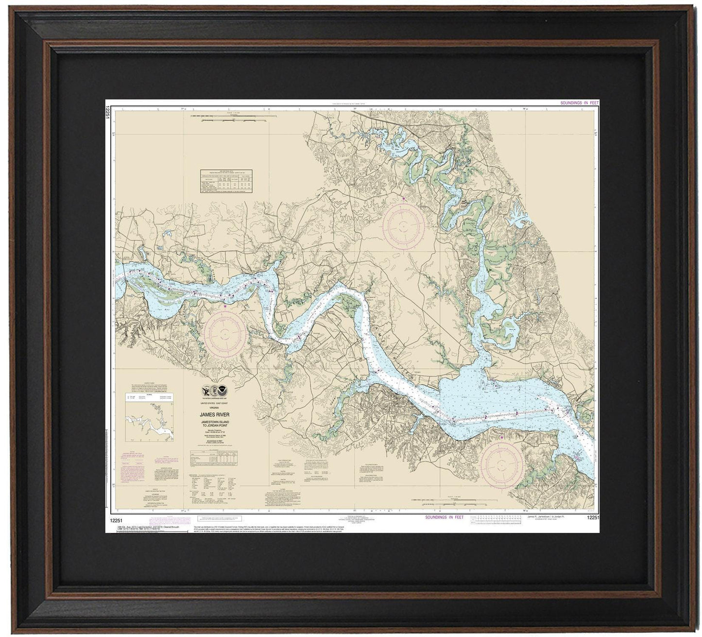
Framed Nautical Chart 12251 - James River, Virginia. Jamestown Island to Jordon Point. NOAA 12251. Handmade in the USA.
Framed Nautical Chart 12251 - James River, Virginia. Jamestown Island to Jordon Point. NOAA 12251. Handmade in the USA.
Couldn't load pickup availability
Discover this stunning Framed Nautical Chart that beautifully represents the James River in Virginia, extending from Jamestown Island to Jordan Point. This official NOAA Nautical Chart meticulously details the expansive waterways of the James River, Chickahominy Lake, and Chickahominy River, along with the surrounding land, including the charming town of Claremont.
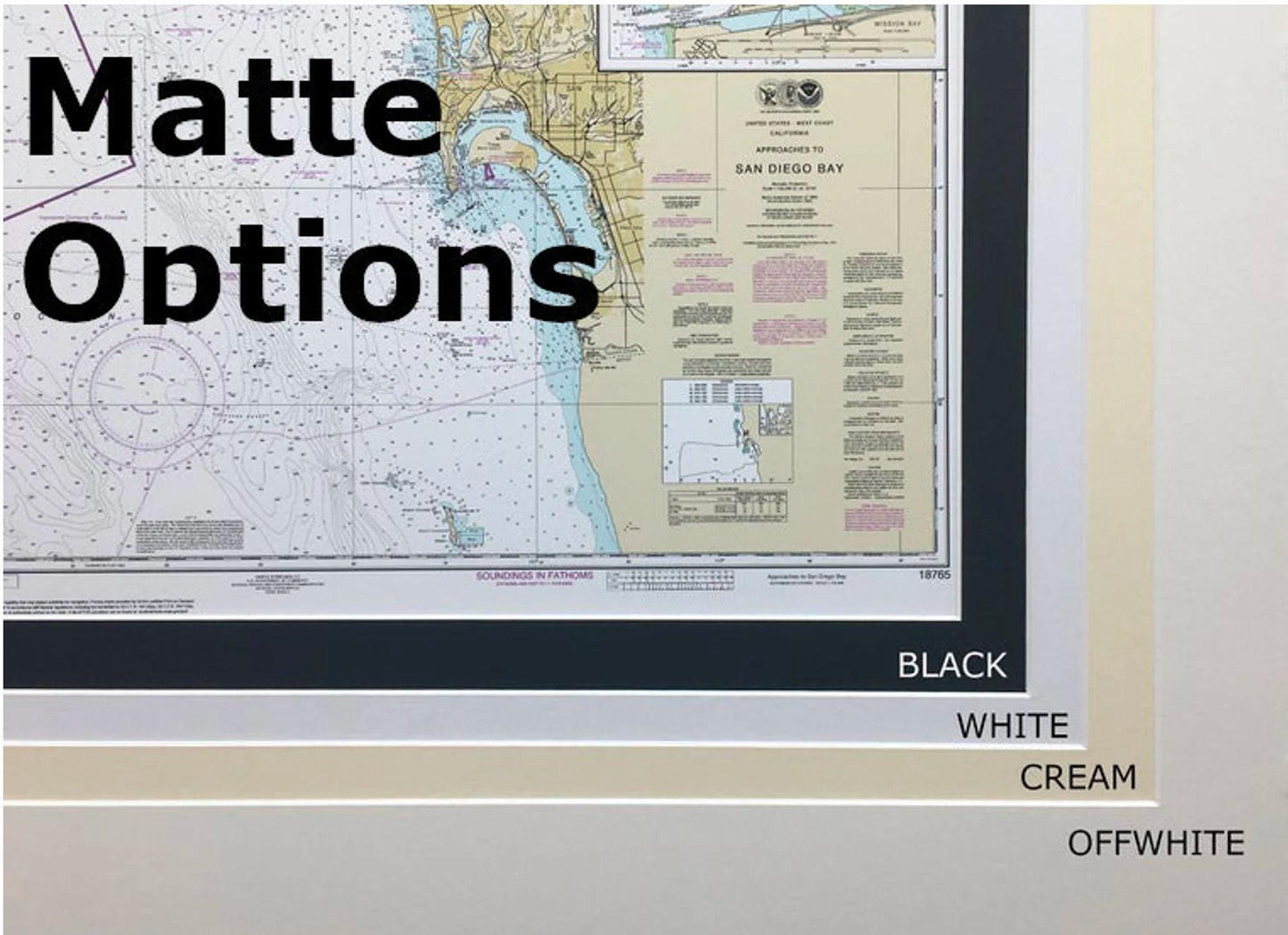
Each chart is carefully handcrafted in the USA, showcasing superior craftsmanship and attention to detail. Presented in a solid wood frame, this piece features a museum-quality print produced on archival paper using fade-resistant inks. The chart is elegantly complemented by a stylish black mat and protected by a glass front, ensuring its longevity and allowing you to enjoy its beauty for years to come. The back of the frame is neatly finished with a paper duster, and a wire hanger is attached for easy installation.
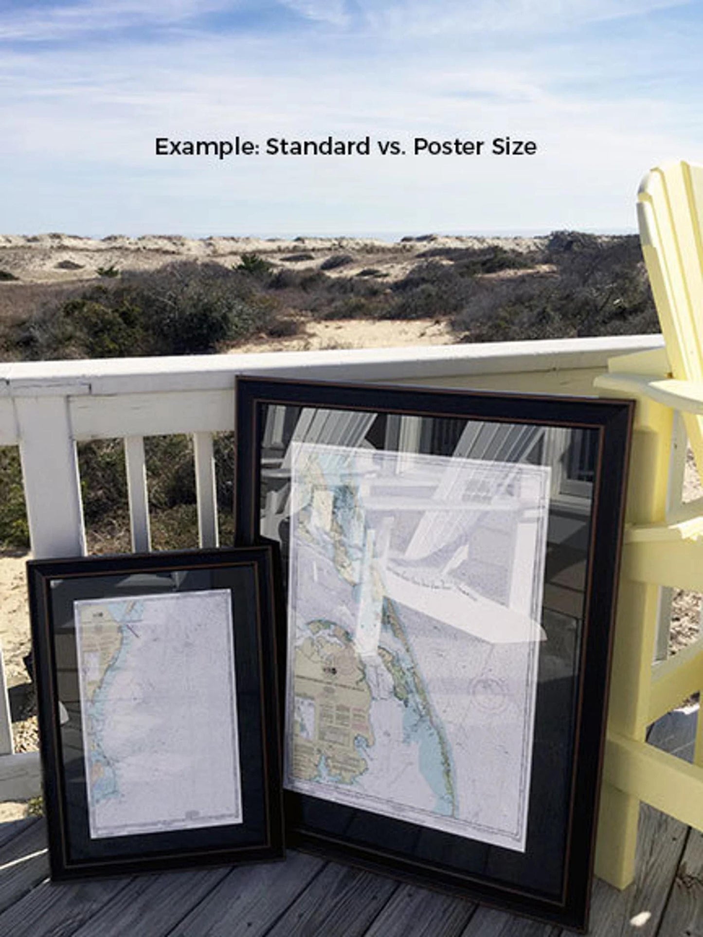
Available in two sizes to suit your space:
- Standard size: approximately 24" W x 19 1/4" H
- Poster size: approximately 36" W x 28 3/4" H
If you have a specific frame option in mind, please don’t hesitate to reach out with your request. We are happy to work with you and bring your vision to life.
*Important Shipping Note: Free ground shipping is only available for deliveries within the 48 contiguous states. We strive to keep our shipping costs reasonable, but due to the higher rates for Alaska and Hawaii, please contact us for a custom shipping quote.
Share