Framed Nautical Charts
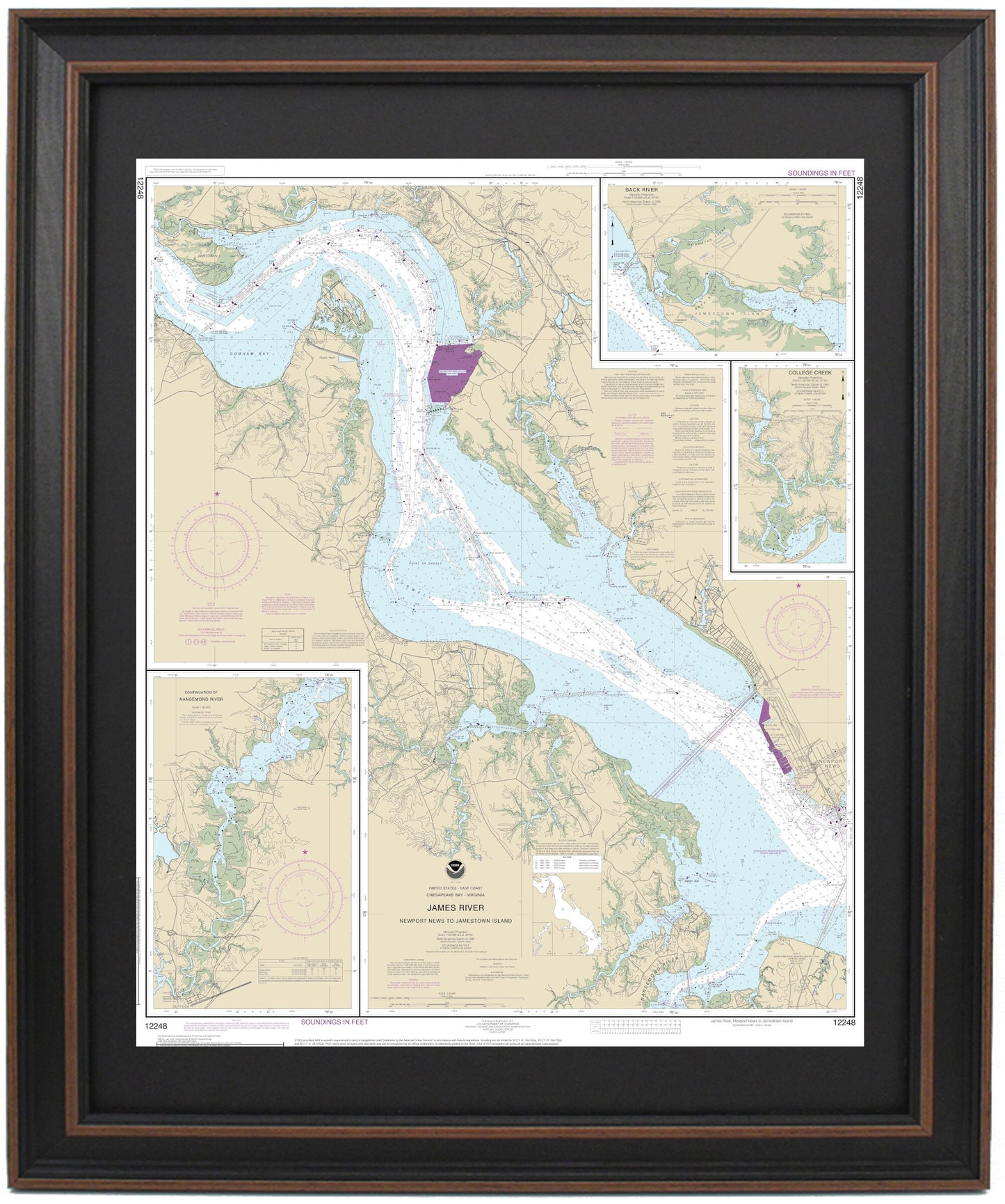
Framed Nautical Chart 12248 - James River, Newport News to Jamestown Island, NOAA 12248. Handmade in the USA.
Framed Nautical Chart 12248 - James River, Newport News to Jamestown Island, NOAA 12248. Handmade in the USA.
Couldn't load pickup availability
Discover the beauty of the James River with this exquisitely framed nautical chart, covering the waterway from Newport News to Jamestown Island in Virginia. This official NOAA Nautical Chart 12248 meticulously details the vibrant waterways of the James River, including important locations such as Newport News, Jamestown, and detailed cut-away maps of the Nansemond River, College Creek, and Back River.
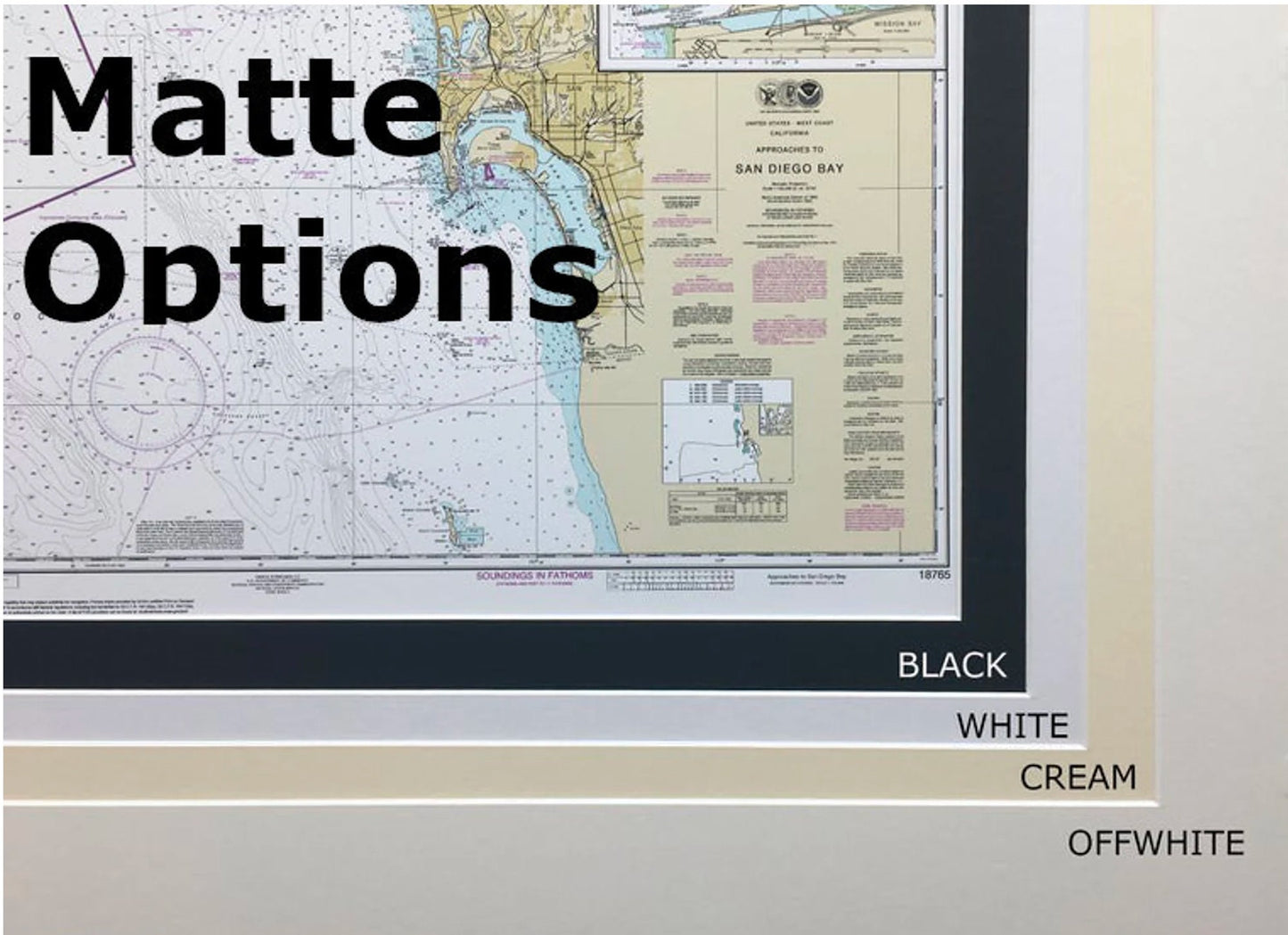
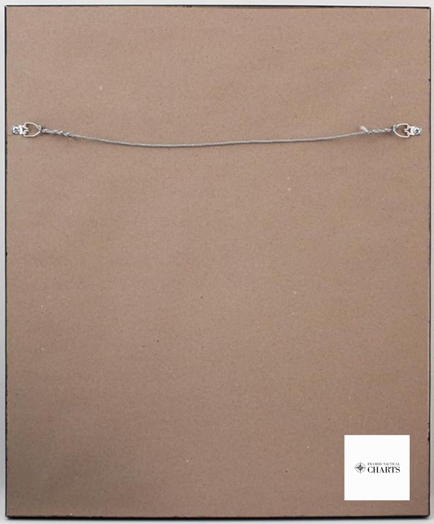
Each chart is custom handmade in the USA, showcasing exceptional craftsmanship and attention to detail. Presented in a solid wood frame, the chart is printed using museum-quality archival paper and inks, ensuring longevity and vibrancy. The design features a black mat and is securely protected by glass on the front. The back is elegantly finished with a paper duster, and a wire hanger is included for easy installation.
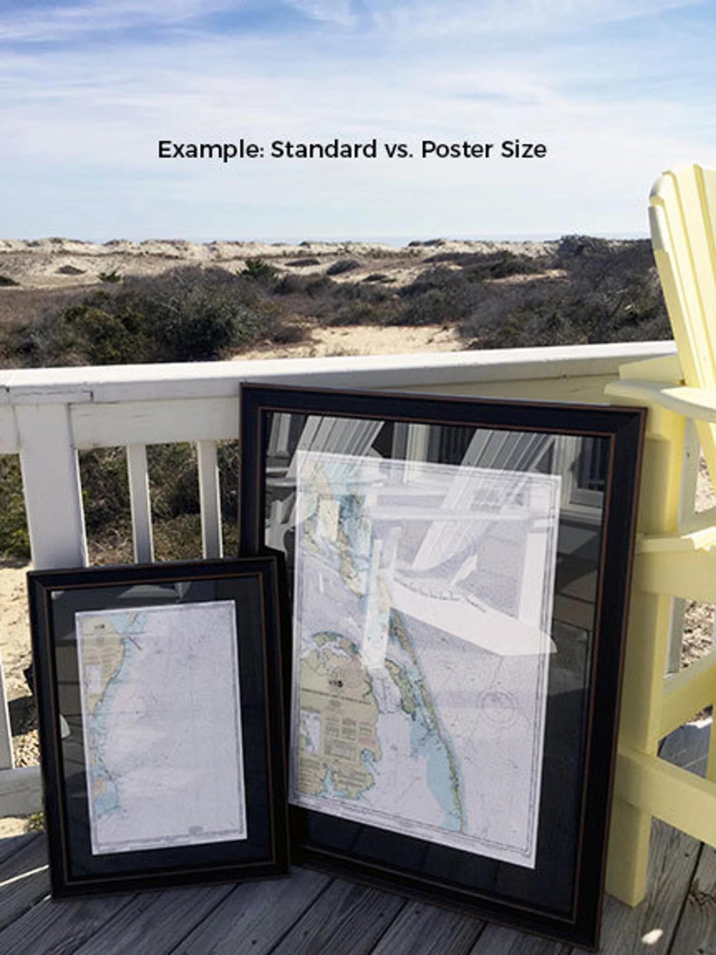
Choose from two frame sizes: the standard size with outer dimensions of approximately 24" H x 19.5" W, or the poster size measuring approximately 36" H x 29.5" W.
If you are looking for a different frame option, please feel free to reach out with your request. We welcome any sample photos you may have to help us bring your vision to life.
**Important Shipping Note:** Free ground shipping is available for shipments to the 48 contiguous states. While we do not mark up shipping costs, please contact us for custom shipping quotes if your order is to be shipped to Alaska or Hawaii.
Share