Framed Nautical Charts
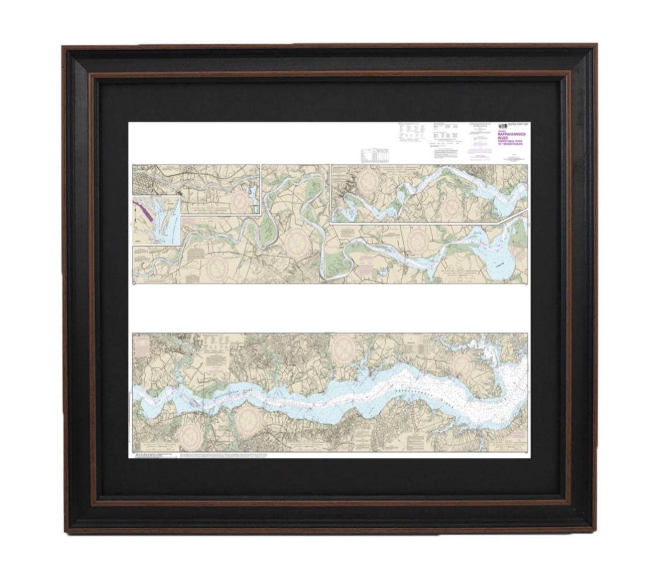
Framed Nautical Chart 12237 - Rappahannock River Corrotoman River to Fredericksburg, MD. NOAA 12237. Handmade in the USA.
Framed Nautical Chart 12237 - Rappahannock River Corrotoman River to Fredericksburg, MD. NOAA 12237. Handmade in the USA.
Couldn't load pickup availability
Discover the beauty of the Rappahannock River with our elegantly framed nautical chart, which spans from the Corrotoman River to Fredericksburg, MD. This official NOAA nautical chart showcases these picturesque waterways with precision and detail. Each piece is custom handmade in the USA, exemplifying our commitment to high craftsmanship standards.
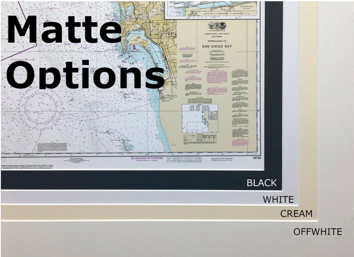
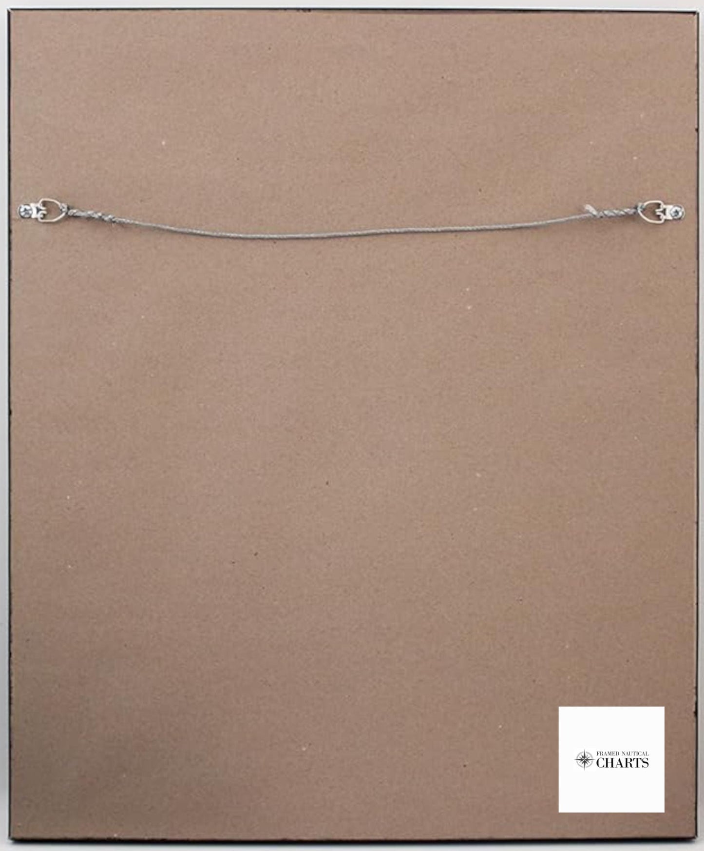
The chart is displayed in a solid wood frame and features a museum-quality print produced on archival paper using long-lasting inks. To enhance its presentation, it includes a classic black mat and is protected by a glass front, ensuring durability. The back is finished with a paper duster for a polished look, and a wire hanger is included for effortless installation.
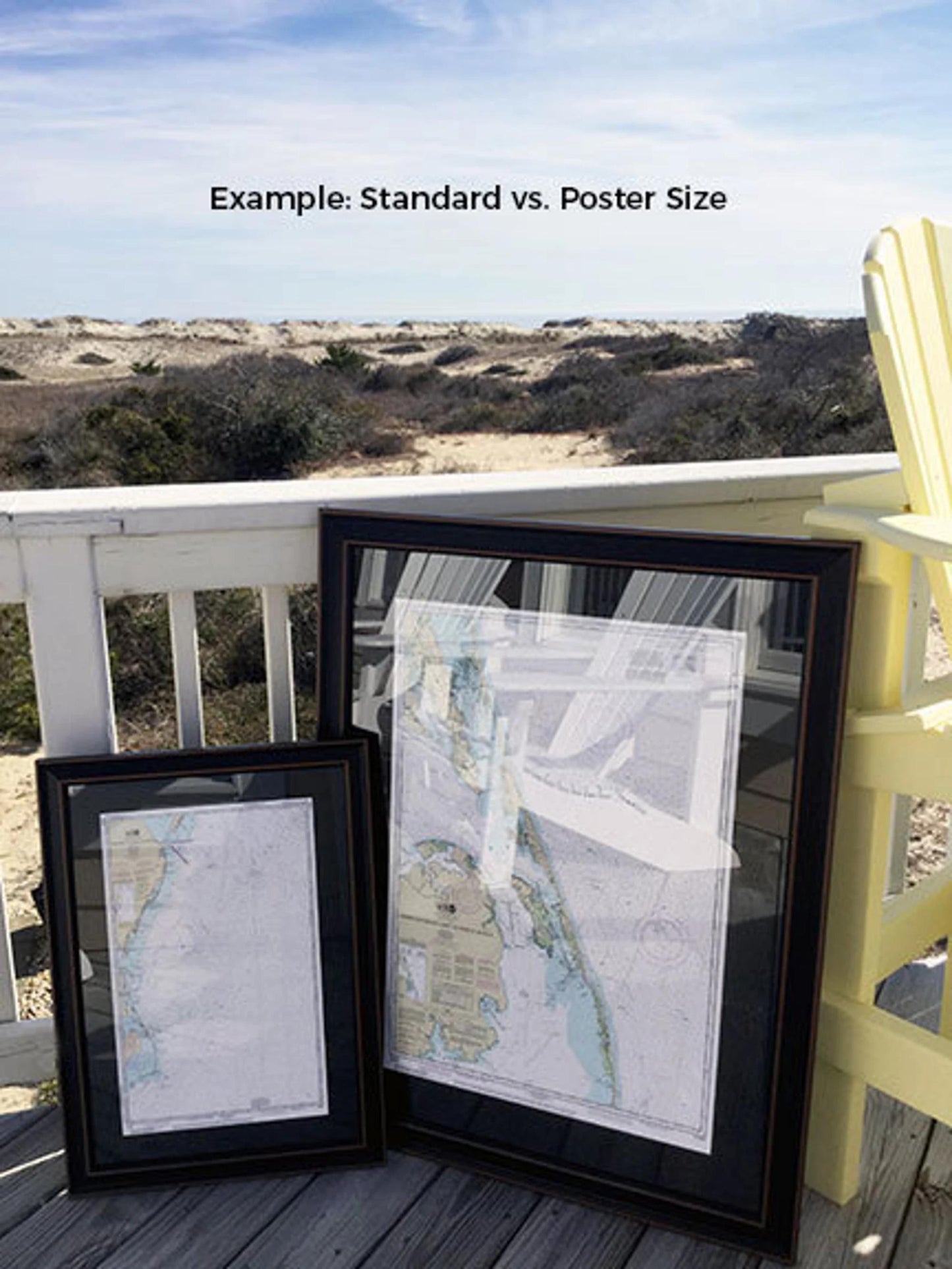
Our frames are available in two sizes to suit your space:
- Standard size: Outer frame dimensions are approximately 24" W x 16.5" H
- Poster size: Outer frame dimensions are approximately 36" W x 25" H
If you desire a different frame option, please reach out to us with your requests. We welcome sample photos to help us craft the perfect piece that matches your vision.
*Important Shipping Note: We offer free ground shipping to the 48 contiguous states. While we do not inflate shipping costs, please contact us for custom shipping quotes to Alaska and Hawaii, as shipping to these locations can be quite expensive.
Share