Framed Nautical Charts
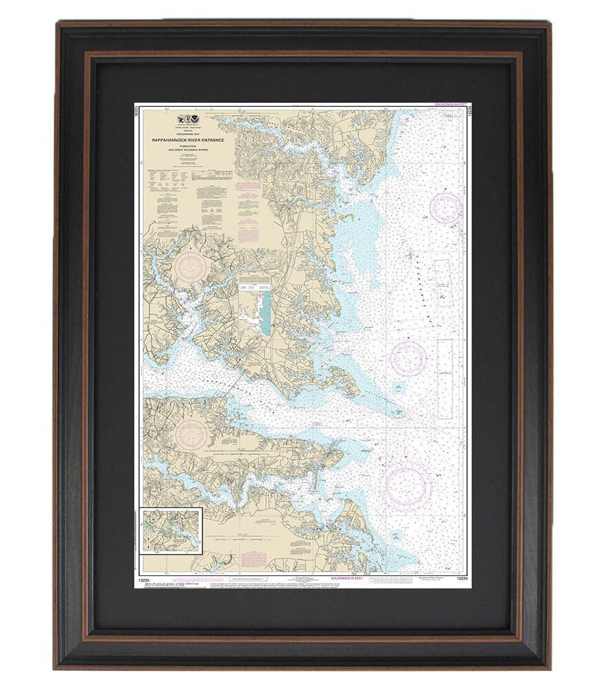
Framed Nautical Chart 12235 - Chesapeake Bay, Rappahannock & Wicomico Rivers. NOAA 12235. Handmade in the USA.
Framed Nautical Chart 12235 - Chesapeake Bay, Rappahannock & Wicomico Rivers. NOAA 12235. Handmade in the USA.
Couldn't load pickup availability
Discover the beauty of the Chesapeake Bay and its surrounding waterways with our Framed Nautical Chart 12235, featuring the Rappahannock and Wicomico Rivers. This official NOAA nautical chart meticulously details the intricate waterways of the Chesapeake Bay, making it an ideal addition to any maritime or home décor.
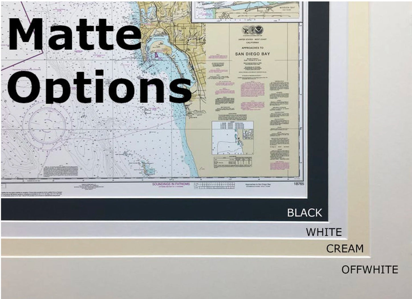
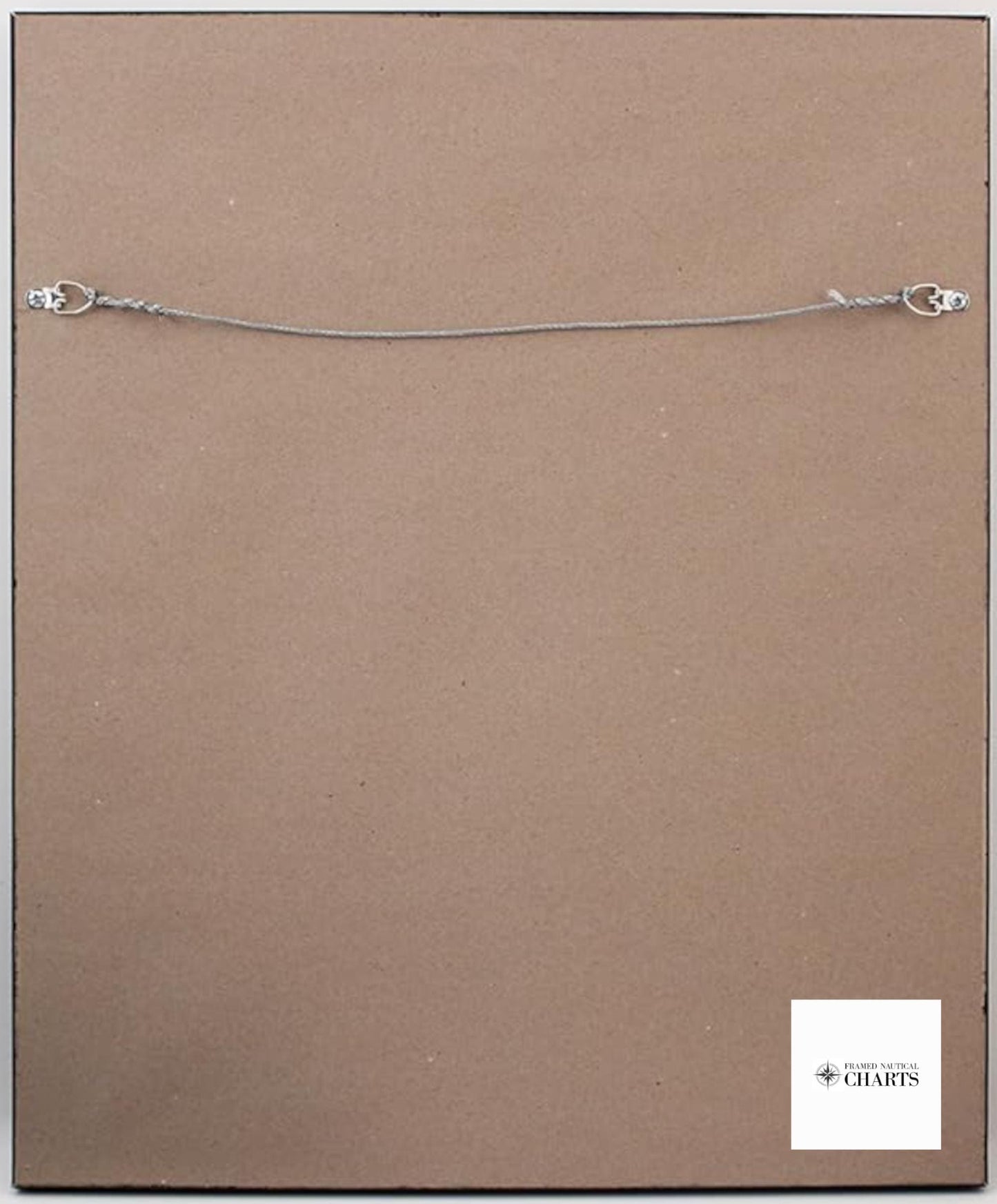
Each chart is custom handmade in the USA, reflecting our commitment to high-quality craftsmanship. The map is elegantly presented in a solid wood frame, complemented by a museum-quality print crafted from archival paper and inks to ensure lasting beauty. The design includes a sophisticated black mat and is protected by a glass front for durability. To enhance its presentation, the back is finished with a paper duster, and a wire hanger is included for easy installation.
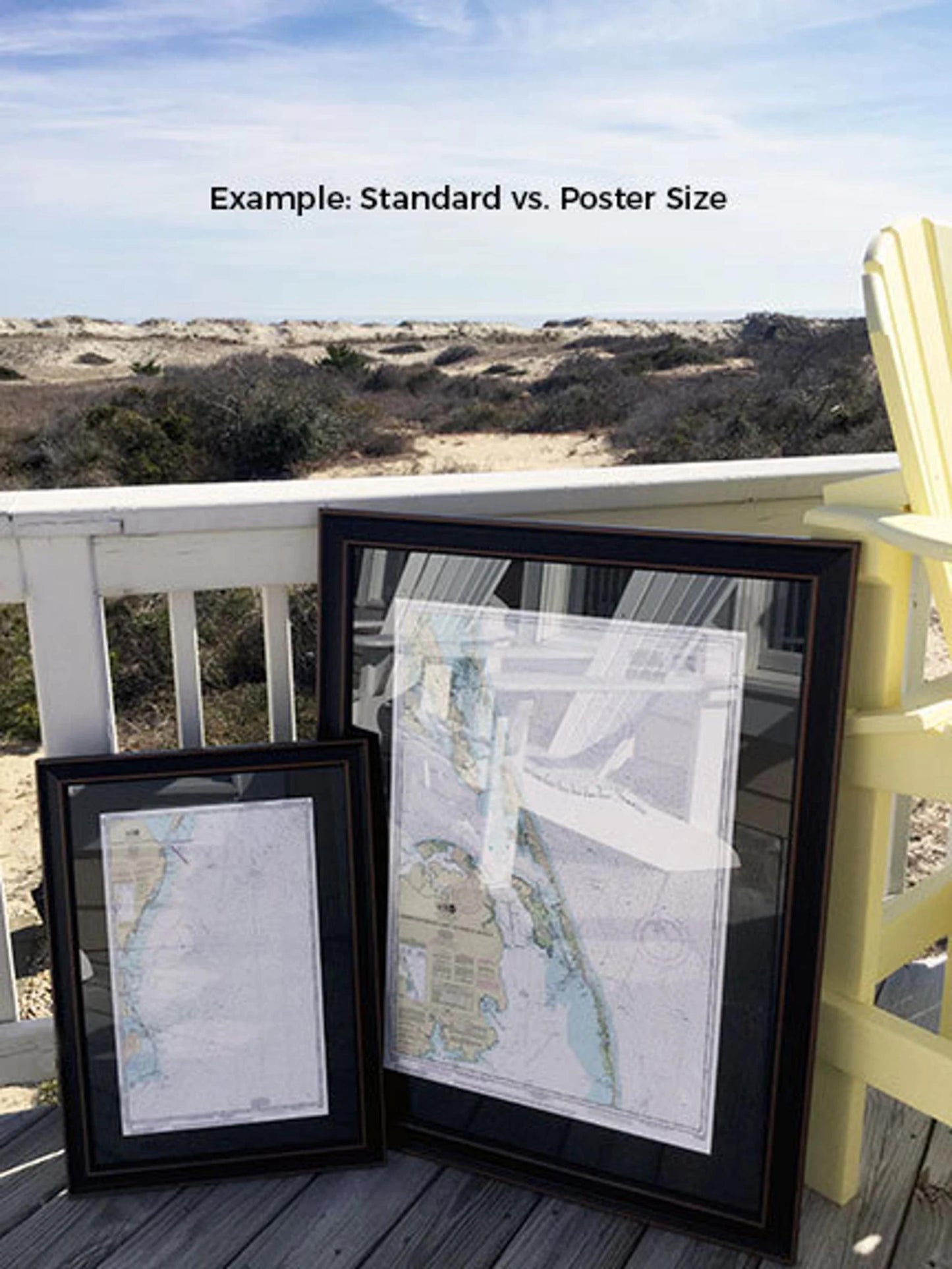
Available in two sizes:
- Standard size: Outer frame dimensions approximately 24" H x 16" W
- Poster size: Outer frame dimensions approximately 36" H x 24" W
If you have a specific framing request or sample photos you would like us to consider, please reach out—we’re happy to create precisely what you envision.
*Important Shipping Note: Free ground shipping is available for orders within the 48 contiguous states. We strive to keep shipping costs fair and transparent; however, due to the higher shipping expenses to Alaska and Hawaii, please contact us for a custom shipping quote.
Share