Framed Nautical Charts
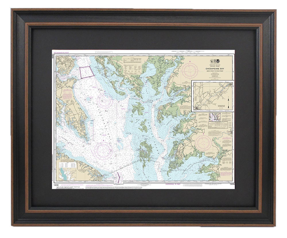
Framed Nautical Chart 12230 - Chesapeake Bay, Smith Point to Cove Point, NOAA 12230. Handmade in the USA.
Framed Nautical Chart 12230 - Chesapeake Bay, Smith Point to Cove Point, NOAA 12230. Handmade in the USA.
Couldn't load pickup availability
Discover the beauty of the Chesapeake Bay with our Framed Nautical Chart, designed to showcase the stunning waterways from Smith Point to Cove Point. This official NOAA Nautical Chart offers an intricate depiction of the area’s marine landscapes. Each chart is meticulously handmade in the USA, ensuring exceptional quality and craftsmanship.
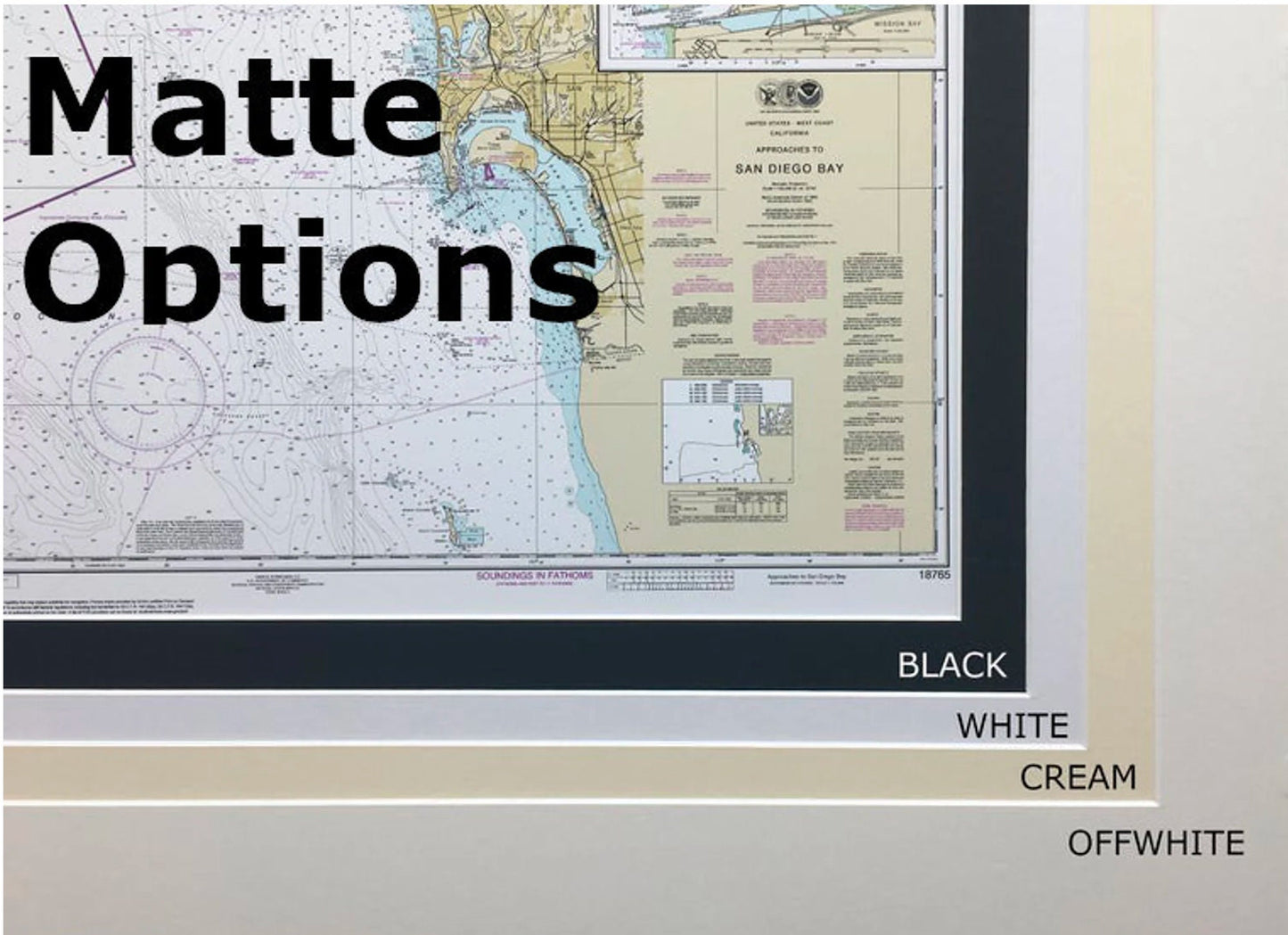
Presented in a solid wood frame, this nautical map features a museum-quality print created using archival paper and inks for longevity. The chart is elegantly complemented by a black mat, all securely covered by a protective glass front. The back is elegantly finished with a paper duster, and it comes with a convenient wire hanger for easy installation.
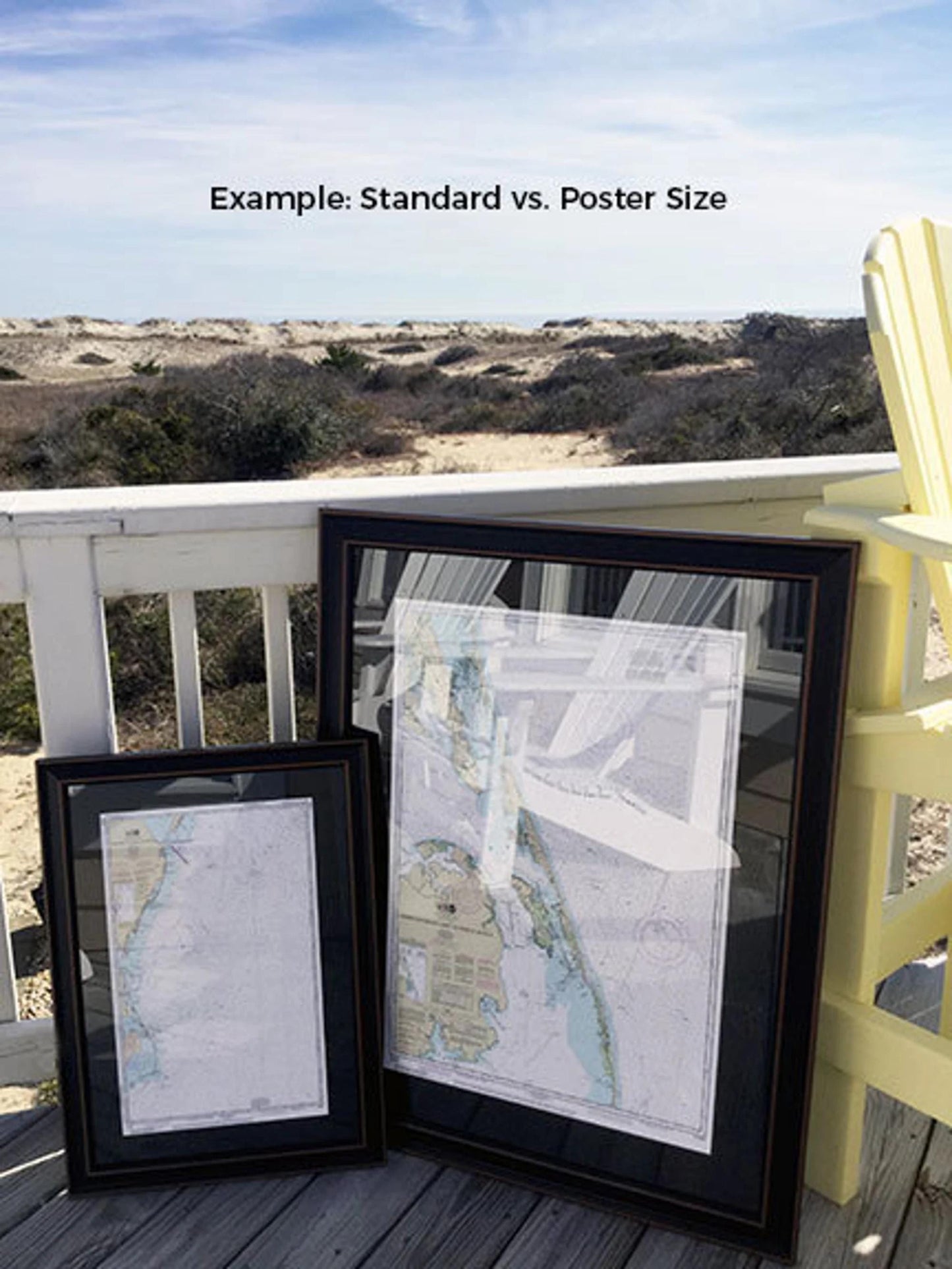
We offer two frame sizes to suit your space:
- Standard size: approximately 24" W x 19 1/4" H
- Poster size: approximately 36" W x 28 3/4" H
If you're interested in a different framing option, please feel free to reach out with your requests, and we would be happy to work with you to create your ideal piece.
*Important Shipping Note: Free ground shipping is available exclusively for shipments within the 48 contiguous states. We do not inflate shipping costs; however, please contact us for custom shipping quotes for orders to Alaska and Hawaii due to the higher shipping costs.
Share