Framed Nautical Charts
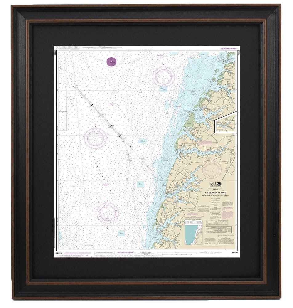
Framed Nautical Chart 12226 - Chesapeake Bay, Wolf Trap to Pungoteague Creek, NOAA 12226. Handmade in the USA.
Framed Nautical Chart 12226 - Chesapeake Bay, Wolf Trap to Pungoteague Creek, NOAA 12226. Handmade in the USA.
Couldn't load pickup availability
Discover the beauty of the Chesapeake Bay with our premium Framed Nautical Chart, showcasing the stunning waters from Wolf Trap to Pungoteague Creek, Virginia. This official NOAA Nautical Chart intricately details these picturesque waterways, making it a perfect piece for any nautical enthusiast or lover of coastal scenery.
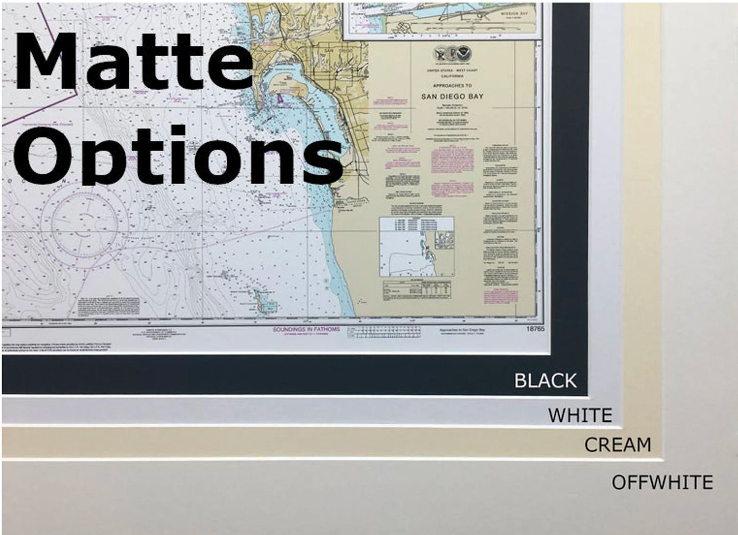
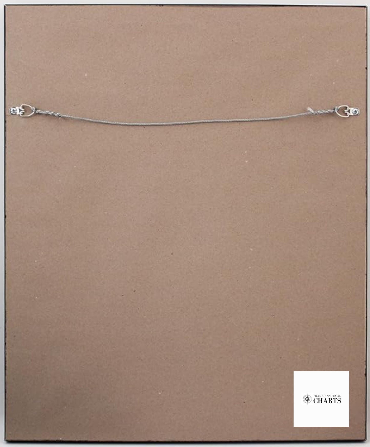
Handcrafted in the USA, each chart exemplifies exceptional craftsmanship. It is beautifully presented in a solid wood frame, featuring a museum-quality print created with archival paper and inks to ensure longevity. The chart is enhanced with a stylish black mat and protected by a glass front, allowing for a clear view of the intricate details. For a polished finish, the back is lined with a paper duster, and a wire hanger is included for easy installation.
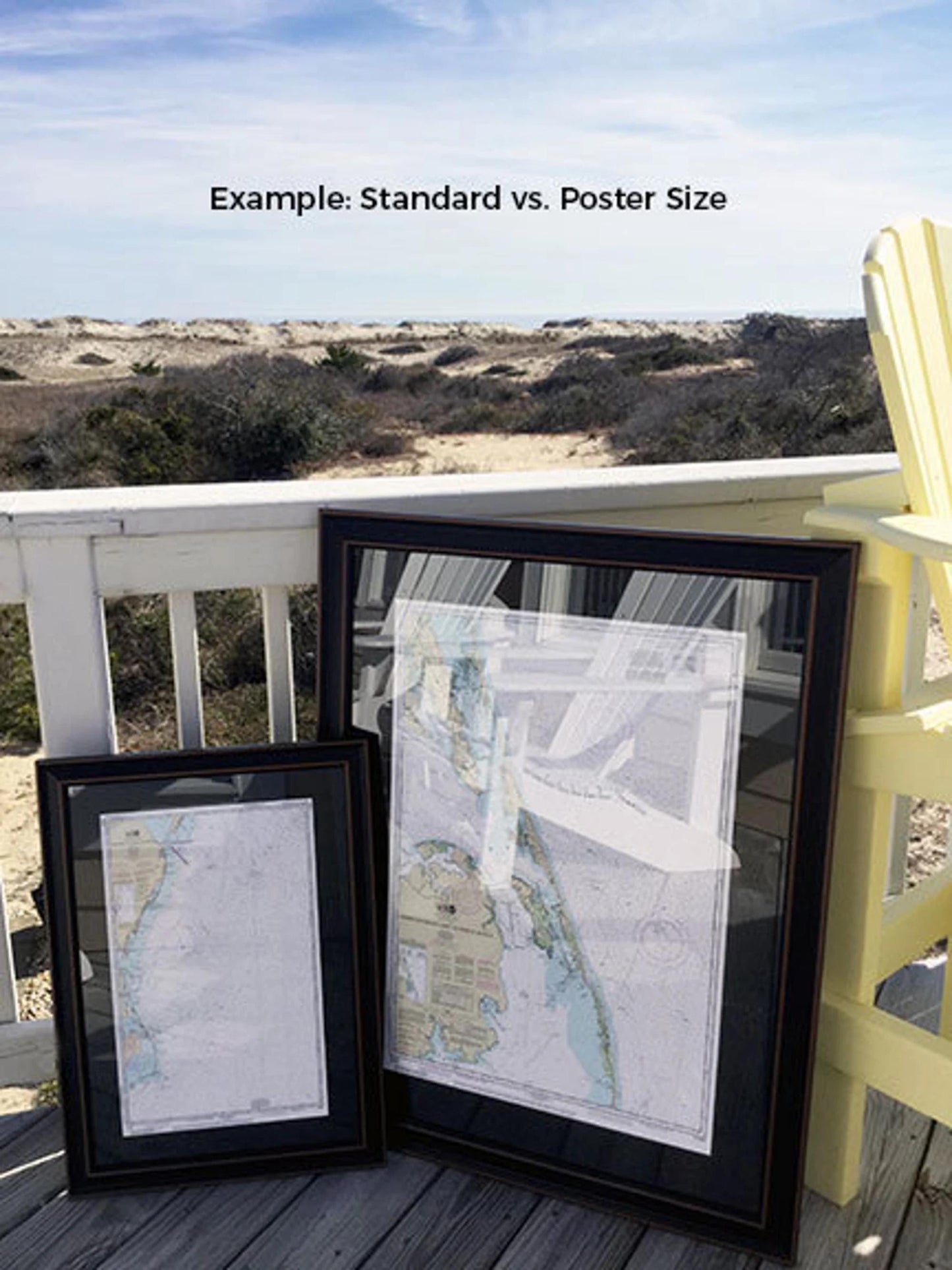
Our framed charts are available in two sizes:
- Standard Size: Approx. 24" H x 19 3/4" W
- Poster Size: Approx. 36" H x 29" W
If you're interested in a different frame option, please don't hesitate to reach out with your ideas—we're more than happy to work with you to create your ideal piece.
*Important Shipping Note: Enjoy free ground shipping to the 48 contiguous states! While we do not inflate shipping costs, please contact us for a custom shipping quote for orders to Alaska and Hawaii, as those rates can be higher.
Share