Framed Nautical Charts
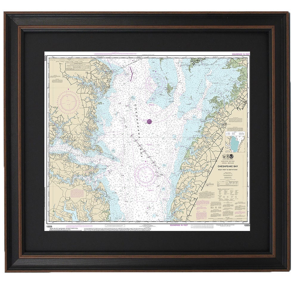
Framed Nautical Chart 12225 - Chesapeake Bay, Wolf Trap to Smith Point. NOAA 12225. Handmade in the USA.
Framed Nautical Chart 12225 - Chesapeake Bay, Wolf Trap to Smith Point. NOAA 12225. Handmade in the USA.
Couldn't load pickup availability
Discover the beauty of the Chesapeake Bay with our Framed Nautical Chart 12225, featuring the stunning waterways from Wolf Trap to Smith Point. This official NOAA Nautical Chart is a meticulously crafted representation of this iconic region, and each piece is custom handmade in the USA, showcasing exceptional craftsmanship and attention to detail.
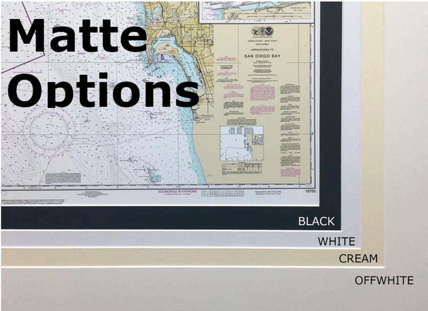
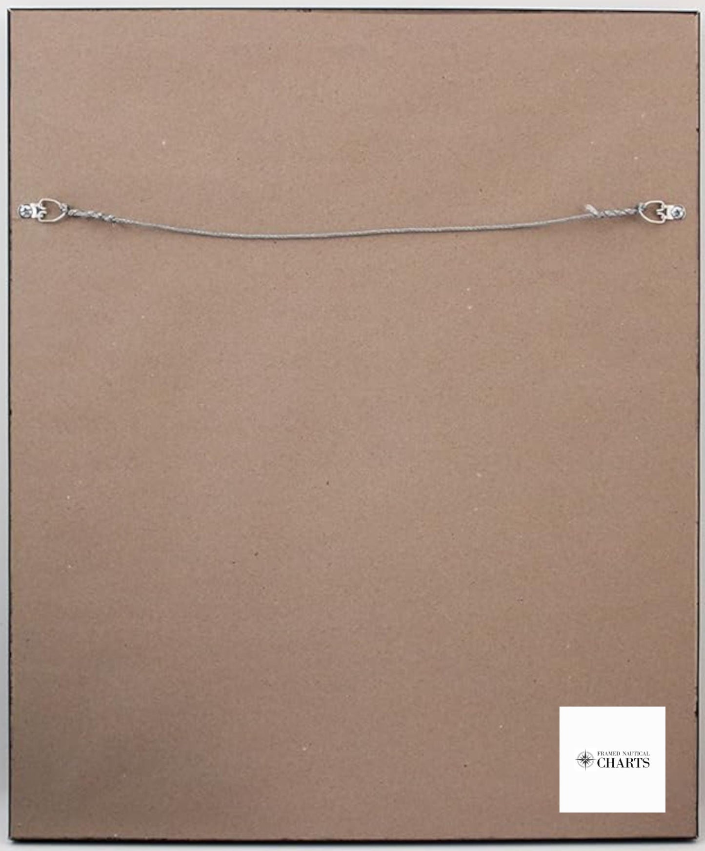
Presented in a solid wood frame, this nautical chart boasts a museum-quality print made from archival paper and inks, ensuring longevity and vibrancy. The design includes a sophisticated black mat and is protected by a durable glass front, making it a perfect addition to any home or office decor. The back is elegantly finished with a paper duster, and it comes equipped with a wire hanger for easy installation.
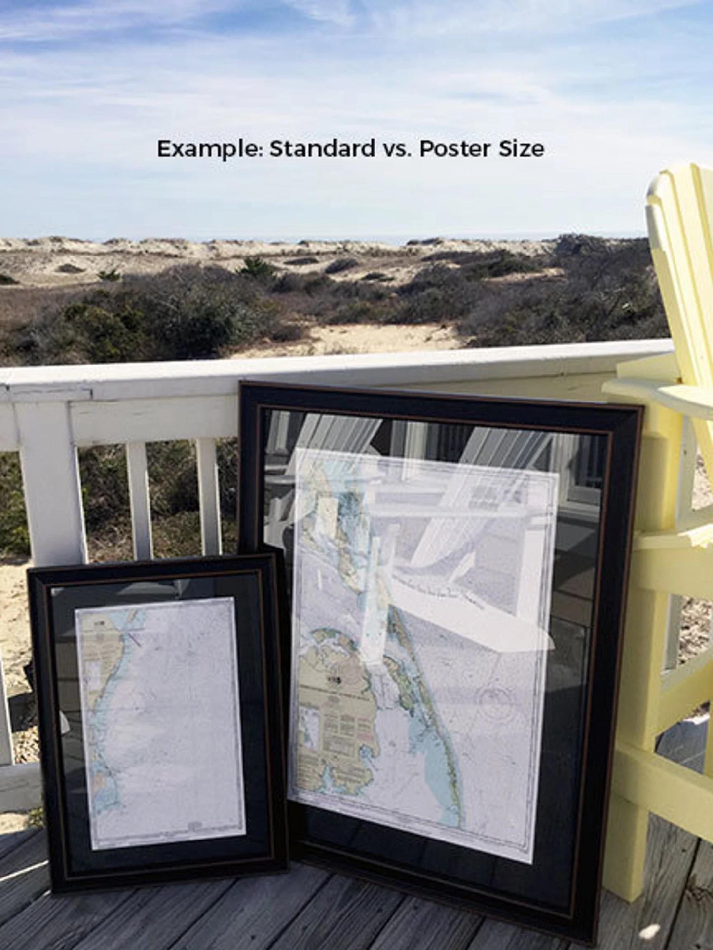
Our charts are available in two sizes to suit your space:
- Standard size: outer frame dimensions approximately 24" W x 20 1/4" H
- Poster size: outer frame dimensions approximately 36" W x 30 1/4" H
If you’re interested in a different framing option or have specific ideas in mind, please reach out to us with your requests. We’re happy to collaborate and help you create the perfect piece for your space.
*Important Shipping Note: We offer free ground shipping for deliveries to the 48 contiguous states. Please be aware that shipping costs to Alaska and Hawaii can be higher, so feel free to contact us for a customized shipping quote. We do not mark up additional shipping costs.
Share