Framed Nautical Charts
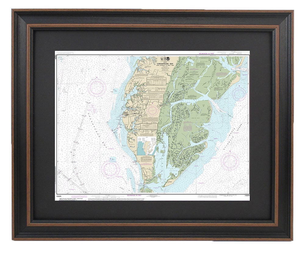
Framed Nautical Chart 12224 - Chesapeake Bay, Cape Charles to Wolf Trap, NOAA 12224. Handmade in the USA.
Framed Nautical Chart 12224 - Chesapeake Bay, Cape Charles to Wolf Trap, NOAA 12224. Handmade in the USA.
Couldn't load pickup availability
Discover the beauty of the Chesapeake Bay with this exquisite Framed Nautical Chart, showcasing the stunning waterways from Cape Charles to Wolf Trap, VA. Crafted with care, this official NOAA Nautical Chart provides detailed insights into one of America's most picturesque regions.
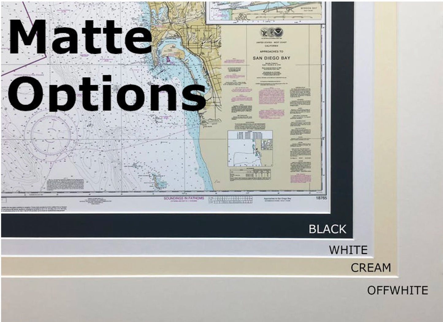
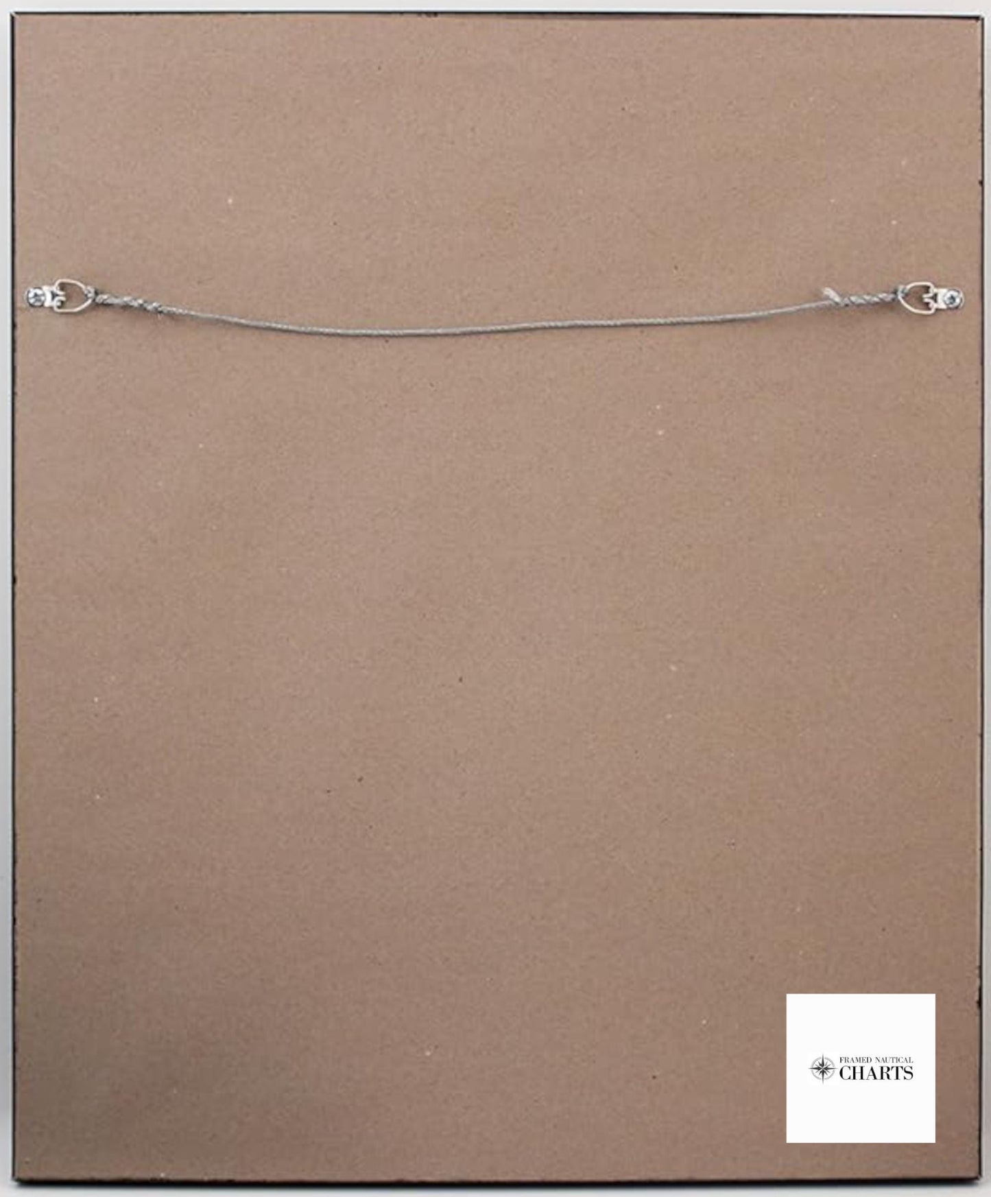
Each chart is custom handmade in the USA, reflecting exceptional craftsmanship and attention to detail. The chart is elegantly presented in a solid wood frame and features a museum-quality print made from archival paper and inks, ensuring durability and vibrant colors. It is complemented by a stylish black mat and protected by a glass front, making it a perfect addition to your home or office decor. The back is finished with a paper duster for a polished look, and a wire hanger is included for easy installation.
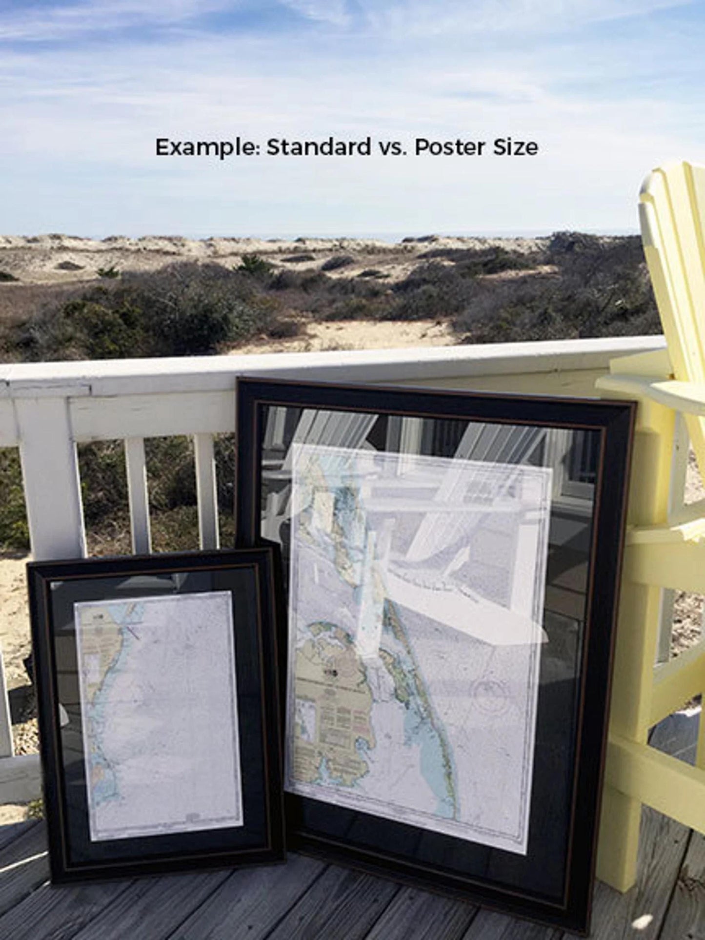
We offer two frame sizes to suit your preferences:
- Standard size with outer frame dimensions of approximately 24" W x 19" H
- Poster size with outer frame dimensions of approximately 36" W x 28 1/2" H
If you have a specific frame option in mind, don't hesitate to reach out to us with your request. We are happy to collaborate and bring your vision to life.
*Important Shipping Note: Free ground shipping is available for orders shipped to the 48 contiguous states. While we do not increase shipping costs, please contact us for custom shipping quotes for deliveries to Alaska and Hawaii, as fees may vary due to distance.
Share