Framed Nautical Charts
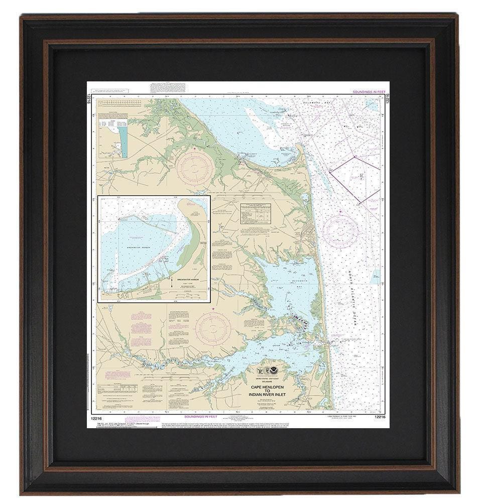
Framed Nautical Chart 12216 - Rehoboth Beach. Cape Henlopen to Indian River Inlet & Breakwater Harbor, NOAA 12216. Handmade in the USA.
Framed Nautical Chart 12216 - Rehoboth Beach. Cape Henlopen to Indian River Inlet & Breakwater Harbor, NOAA 12216. Handmade in the USA.
Couldn't load pickup availability
Discover the beauty of Rehoboth Beach with our expertly crafted Framed Nautical Chart (NOAA 12216) showcasing the waterways from Cape Henlopen to Indian River Inlet and Breakwater Harbor, DE. This official NOAA Nautical Chart is a stunning representation of these scenic waterways, making it an ideal addition to any nautical enthusiast’s collection.
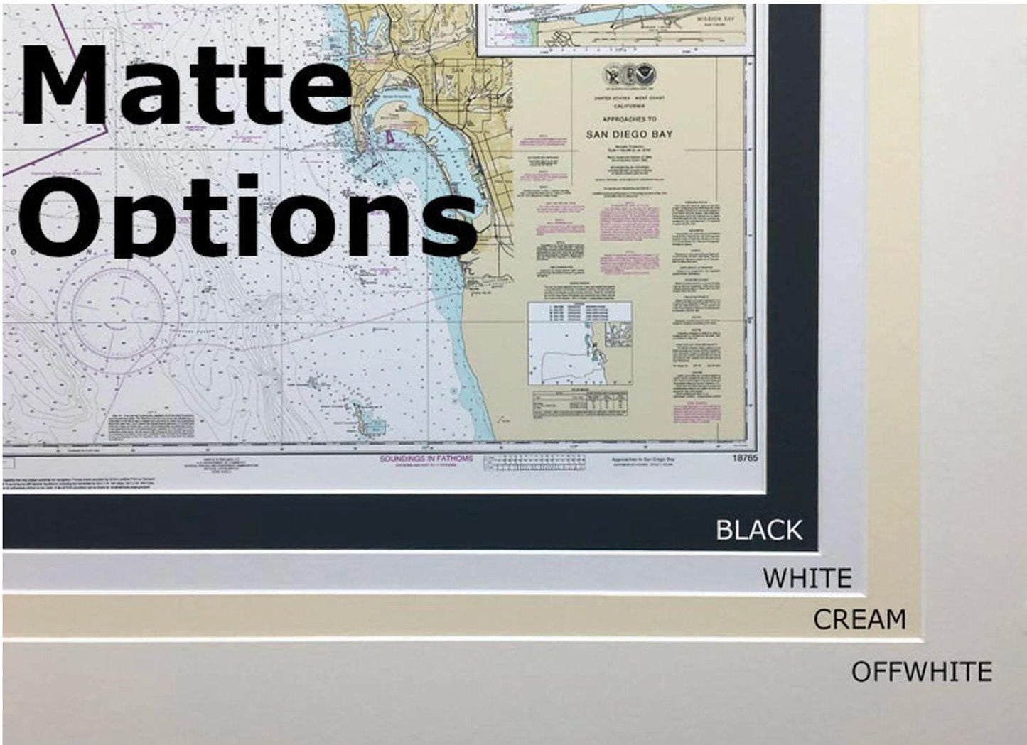
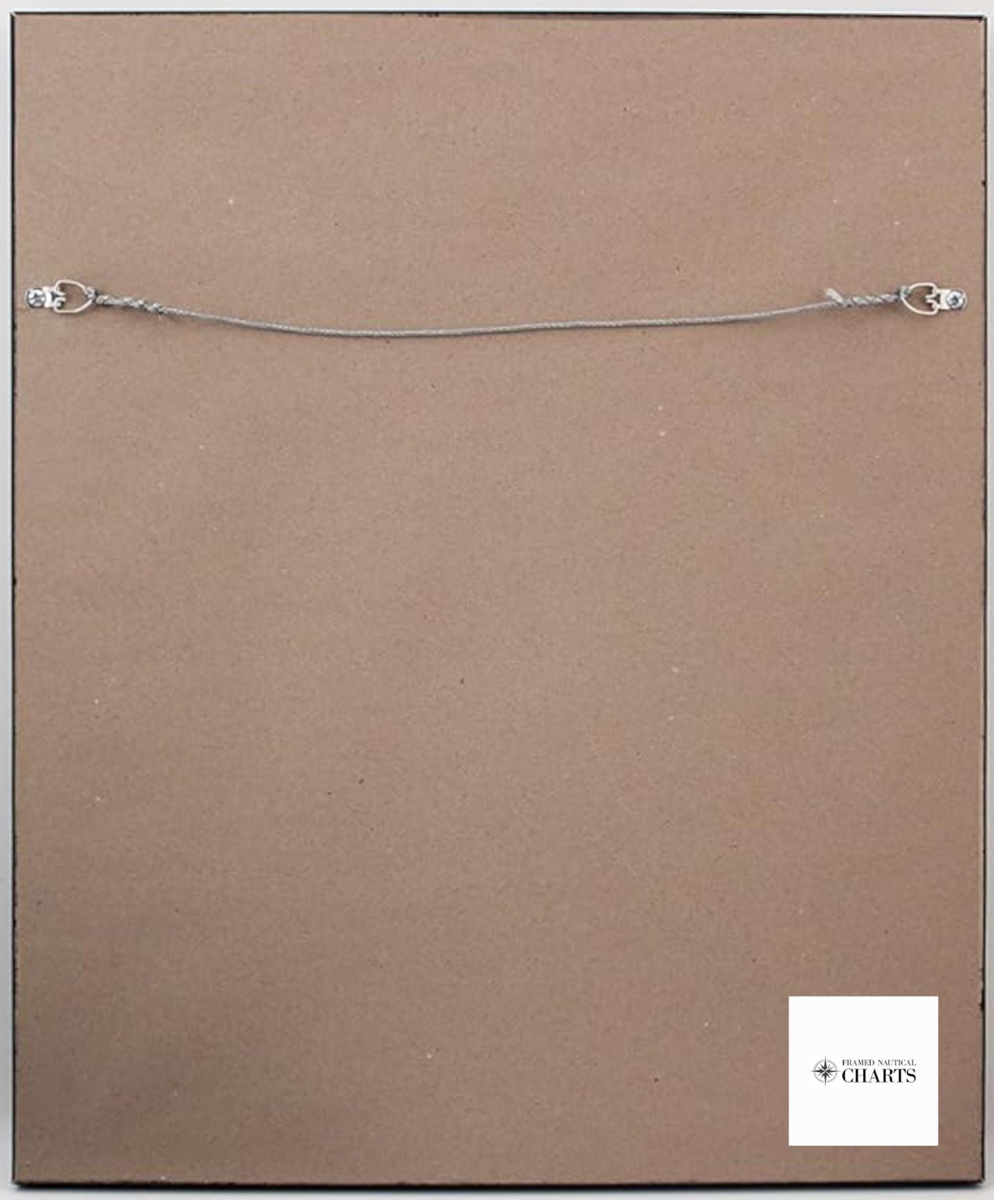
Each chart is meticulously handmade in the USA, reflecting exceptional craftsmanship and attention to detail. Presented in a durable solid wood frame, this piece features a museum-quality print made from archival paper and inks, ensuring its longevity and vibrancy. The chart is elegantly complemented by a black mat and is protected by a glass front. The back is finished with a paper duster, and a wire hanger is included for easy installation.
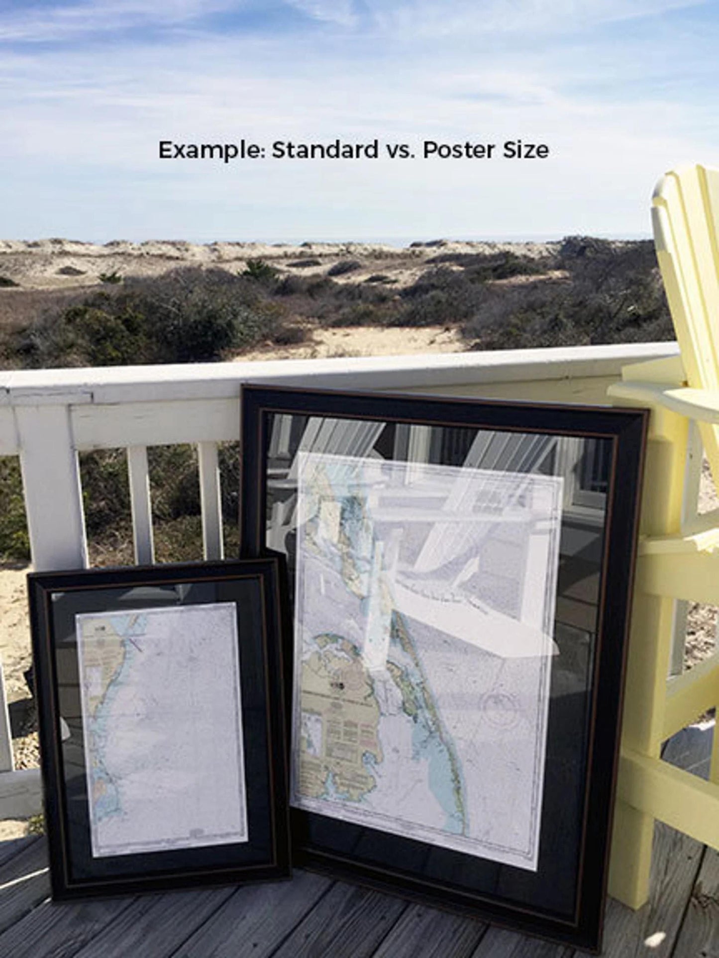
Our framed charts are available in two sizes to suit your space:
- Standard size: Outer frame dimensions approximately 24" H x 19 ½" W
- Poster size: Outer frame dimensions approximately 36" H x 29" W
If you desire a different frame option or collaboration on a custom design, please don't hesitate to reach out to us. We are happy to work with you to create something truly special that aligns with your vision.
*Important Shipping Note: We offer free ground shipping for orders shipped to the 48 contiguous states. While we do not markup shipping costs, please contact us for a custom shipping quote for deliveries to Alaska and Hawaii due to increased shipping rates.
Share