Framed Nautical Charts
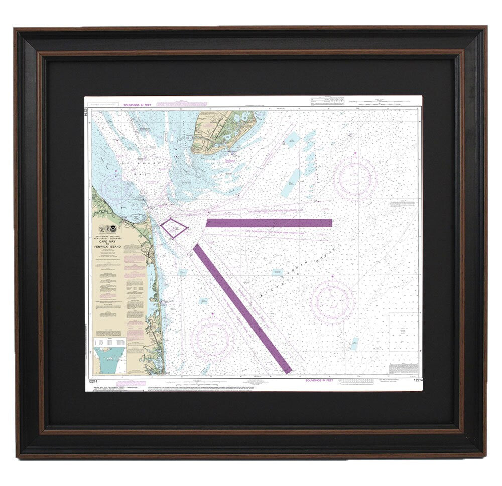
Framed Nautical Chart 12214 - Cape May to Fenwick Island. NOAA 12214. Handmade in the USA.
Framed Nautical Chart 12214 - Cape May to Fenwick Island. NOAA 12214. Handmade in the USA.
Couldn't load pickup availability
Discover the beauty of the waterways from Cape May, NJ, to Fenwick Island, DE, with this exquisite Framed Nautical Map. This official NOAA Nautical Chart offers an intricate depiction of these stunning coastal areas, perfect for maritime enthusiasts and decor lovers alike. Each chart is thoughtfully crafted by hand in the USA, showcasing exceptional craftsmanship and attention to detail.
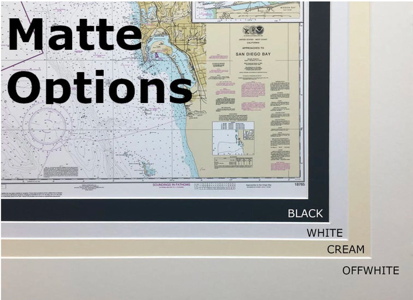
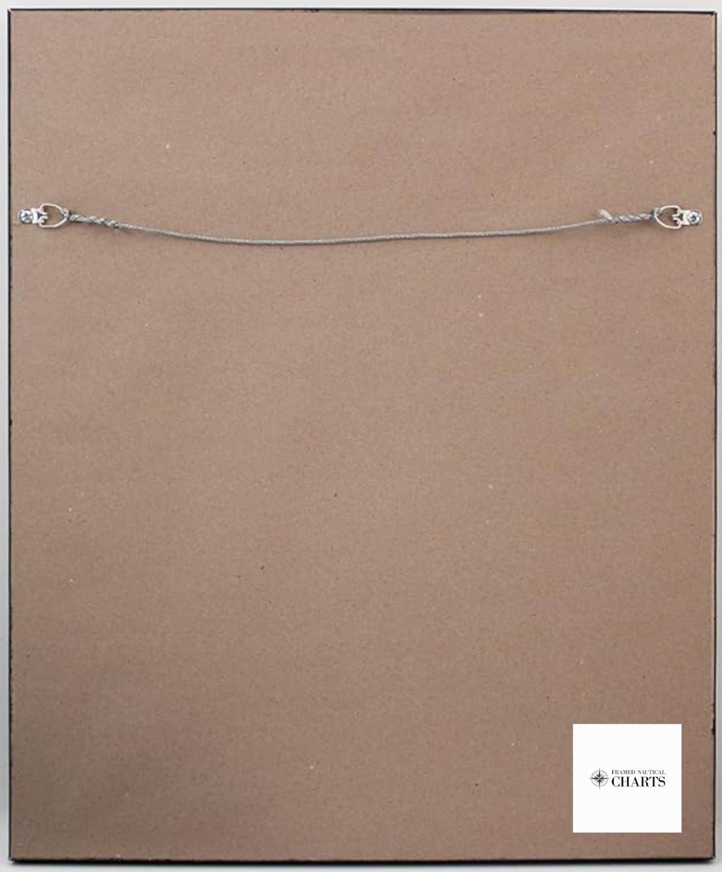
The nautical chart is elegantly presented in a solid wood frame, complemented with a museum-quality print made using archival paper and inks for lasting vibrancy. Featuring a sophisticated black mat and protected by a glass front, this piece is designed to enhance the aesthetic of any space. The back is neatly finished with a paper duster, and a wire hanger is included for easy installation.
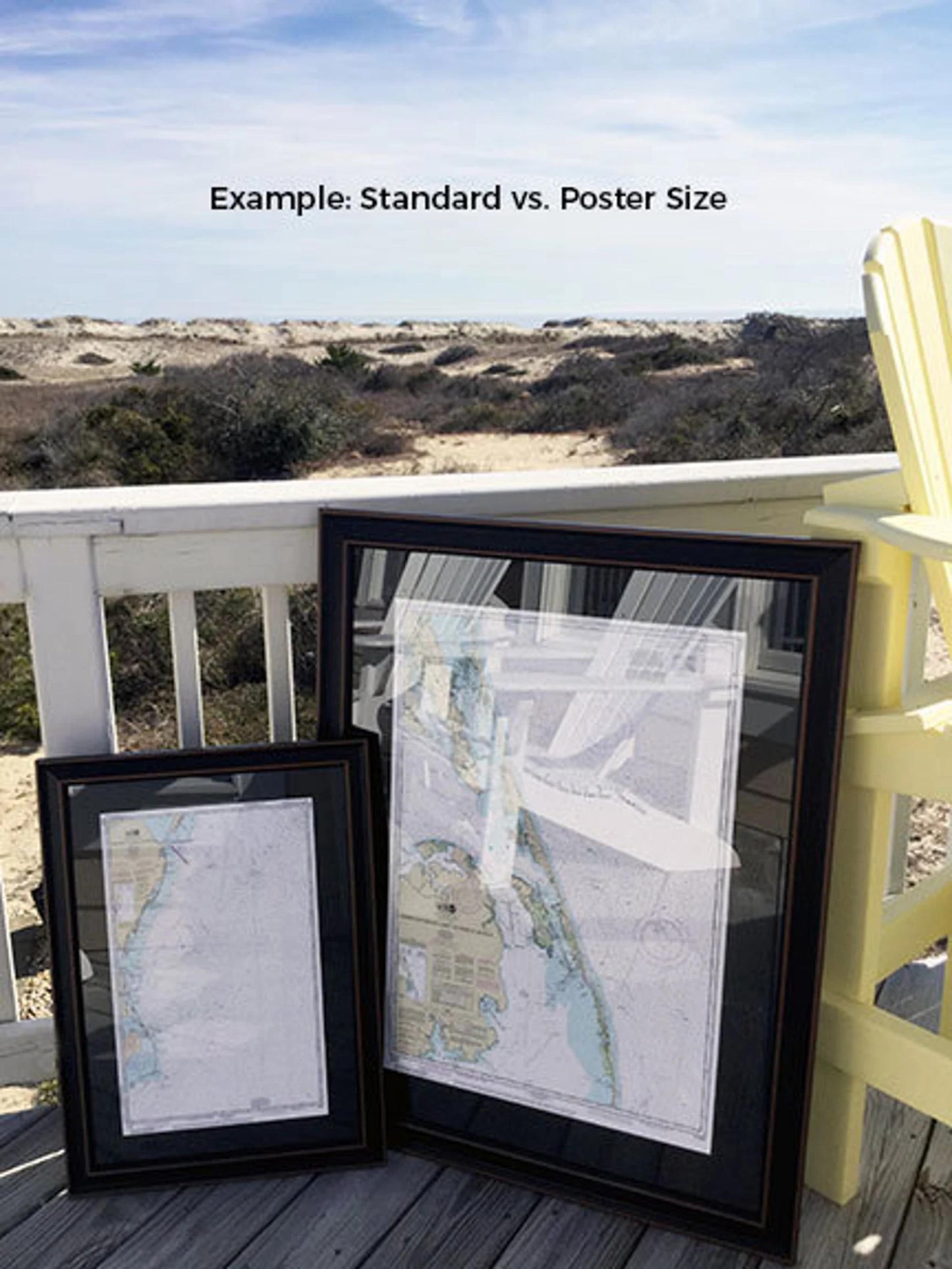
Available in two sizes, choose the perfect fit for your space:
- Standard size: Outer frame dimensions approximately 24" W x 20 1/2" H
- Poster size: Outer frame dimensions approximately 36" W x 30 1/2" H
If you have a specific frame option in mind, we encourage you to reach out so we can work together to create your vision. We also welcome any sample photos you might have to assist in the customization process.
*Important Shipping Note: Free ground shipping is available for deliveries to the 48 contiguous states. While we do not mark up additional shipping costs, please contact us for custom shipping quotes to Alaska and Hawaii, due to the higher shipping fees to these locations.
Share