Framed Nautical Charts
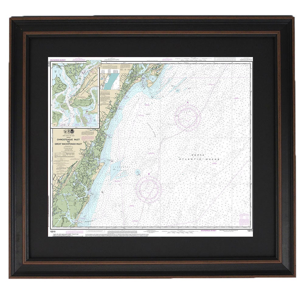
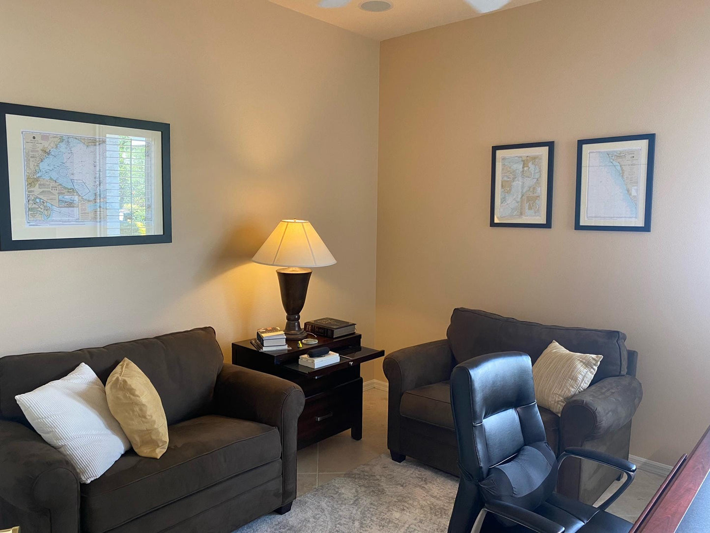
Framed Nautical Chart 12210 - Chincoteague Inlet to Great Machipongo Inlet. NOAA 12210. Handmade in the USA.
Framed Nautical Chart 12210 - Chincoteague Inlet to Great Machipongo Inlet. NOAA 12210. Handmade in the USA.
Couldn't load pickup availability
Discover a beautifully framed nautical map that showcases the stunning waterways from Chincoteague Inlet to Great Machipongo Inlet, Virginia. This official NOAA nautical chart provides intricate details of the area, making it a perfect addition to any maritime enthusiast's collection. Crafted with care in the USA, each chart exemplifies a dedication to high-quality craftsmanship.
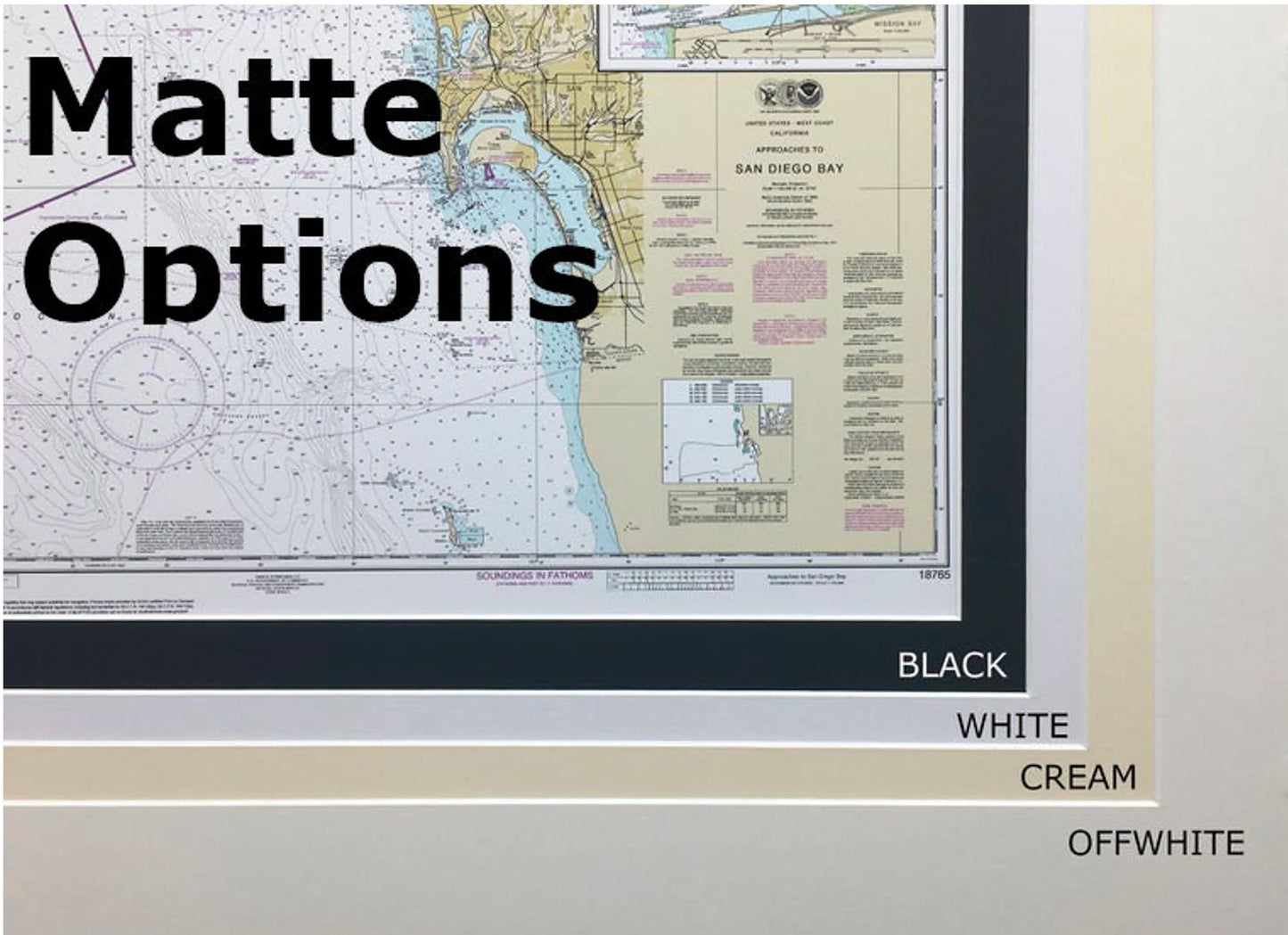
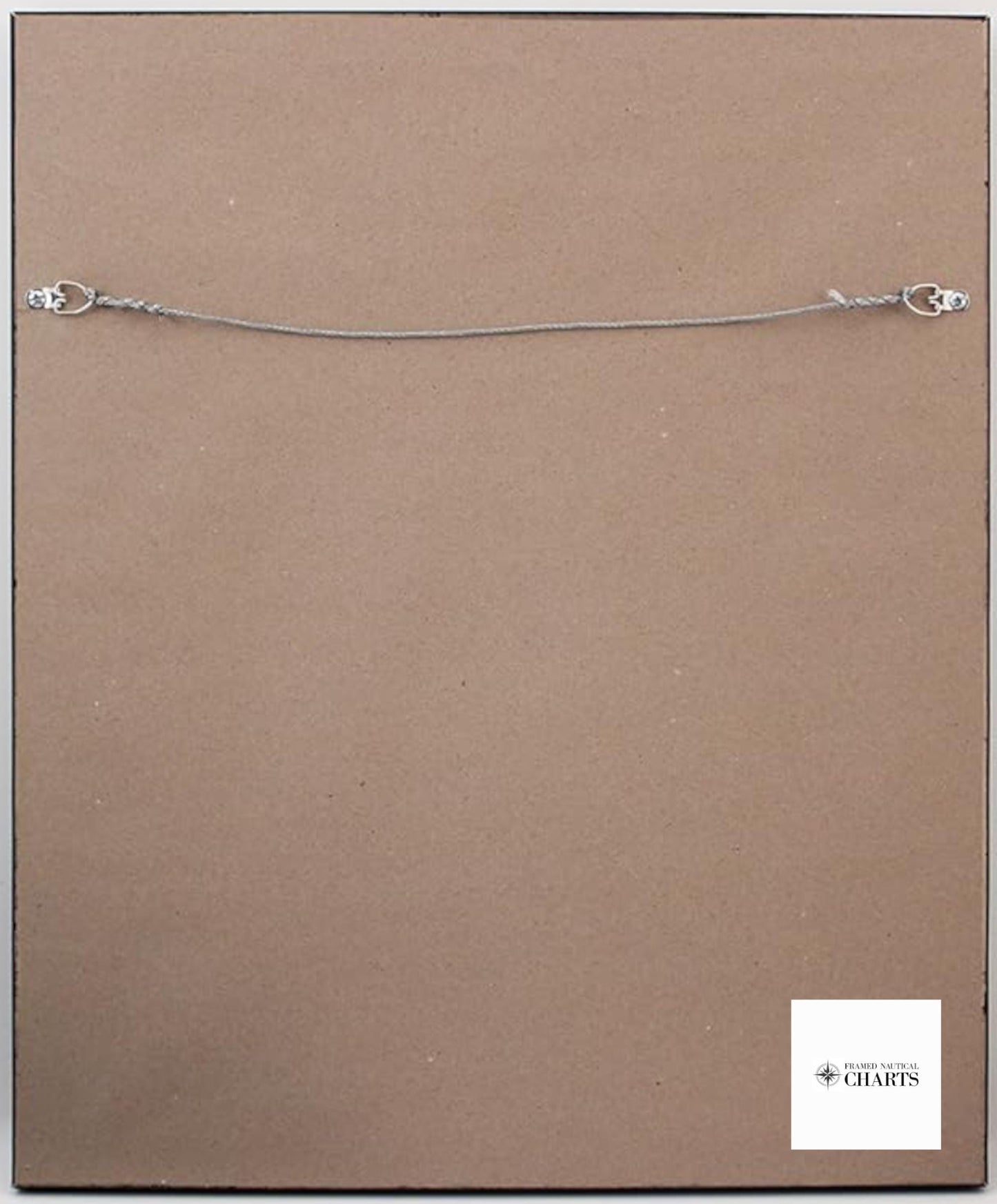
The map is elegantly presented in a solid wood frame and features a museum-quality print created with archival paper and inks, ensuring its longevity and vibrancy. To enhance its aesthetic appeal, the chart is complemented by a tasteful black mat and protected by a glass front. The back is neatly finished with a paper duster, and a wire hanger is included for easy installation.
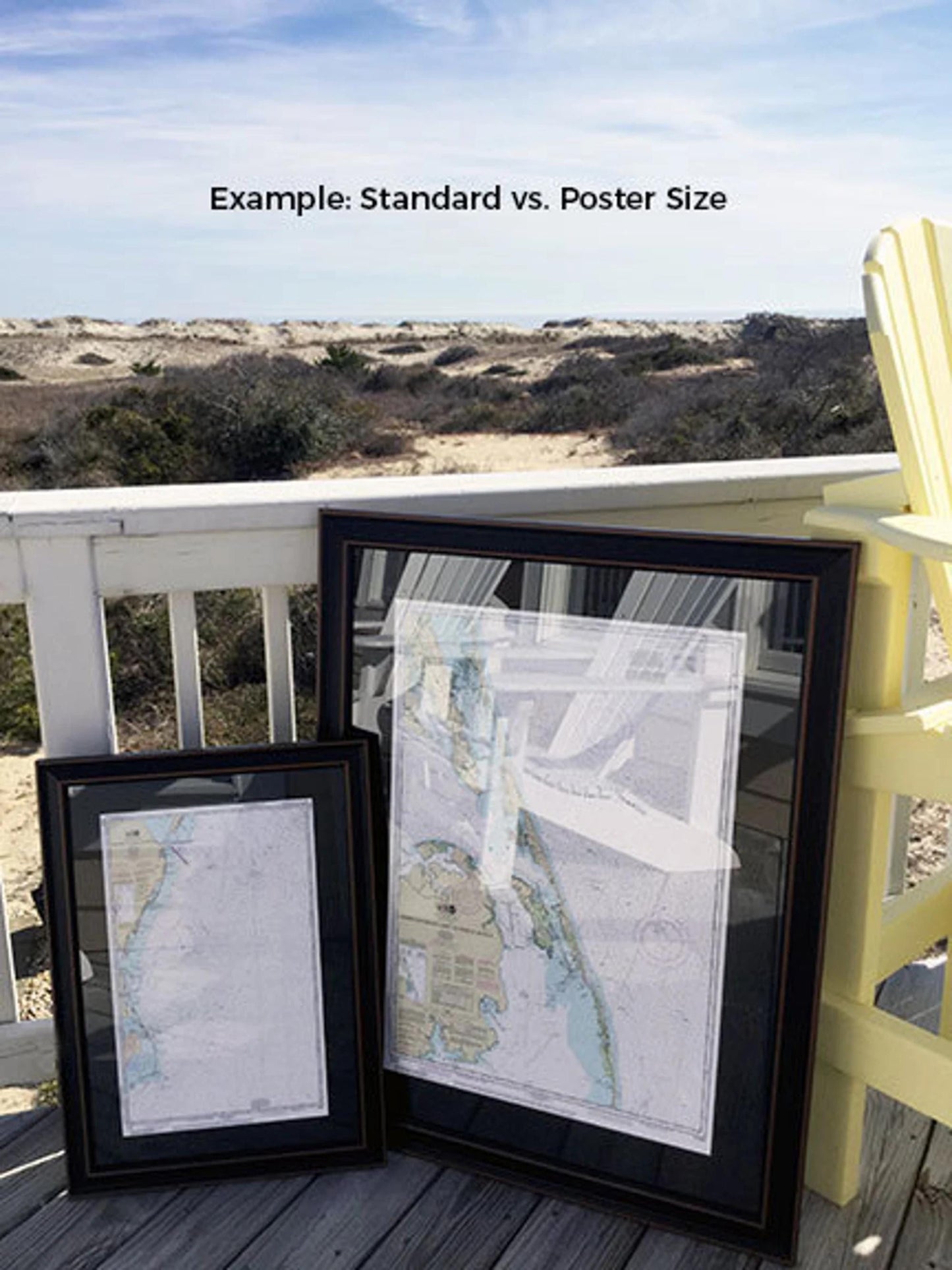
Available in two sizes, you can choose the best fit for your space:
- Standard size, with outer frame dimensions of approximately 24" W x 20 12" H
- Poster size, with outer frame dimensions of approximately 36" W x 30 3/4" H
If you have a specific framing request or would like a different option, don’t hesitate to reach out to us. We're happy to work with you to create the perfect piece that matches your vision, and we welcome any sample photos you may have.
*Important Shipping Note: Free ground shipping is available only for deliveries within the 48 contiguous states. While we do not charge extra for shipping, please contact us for custom shipping quotes if you are located in Alaska or Hawaii, as shipping costs can be higher.
Share