Framed Nautical Charts
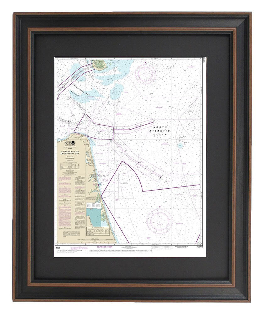
Framed Nautical Chart 12208 - Approaches to Chesapeake Bay. NOAA 12208. Handmade in the USA.
Framed Nautical Chart 12208 - Approaches to Chesapeake Bay. NOAA 12208. Handmade in the USA.
Couldn't load pickup availability
Discover the beauty and intricacy of the Chesapeake Bay with this exquisite framed nautical chart, NOAA 12208. This official nautical map expertly illustrates the waters leading into the Chesapeake Bay, perfect for enthusiasts of maritime navigation and coastal scenery. Each chart is handmade in the USA with meticulous attention to detail, showcasing high standards of craftsmanship.
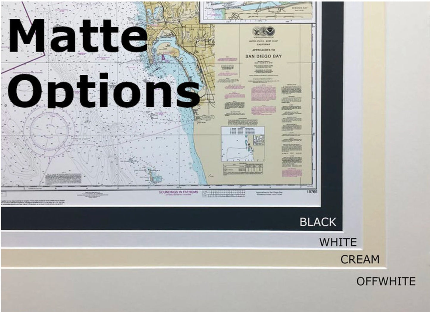
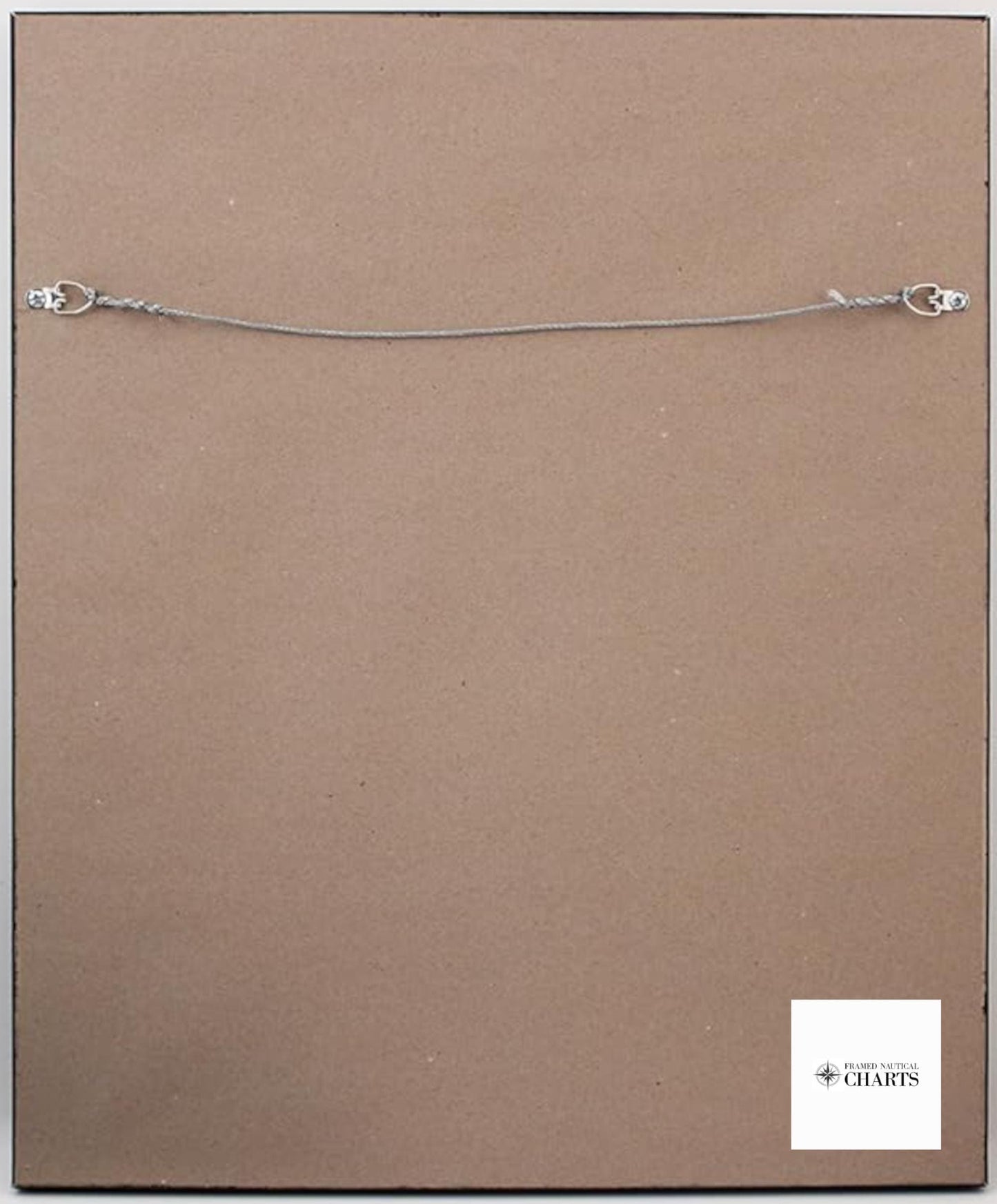
This stunning piece comes in a solid wood frame and features a museum-quality print crafted from archival paper and inks, ensuring its longevity and vibrancy. The chart is elegantly enhanced with a black mat and protected by a glass front, making it a striking addition to any home or office. The back is neatly finished with a paper duster, and it includes a convenient wire hanger for easy installation.
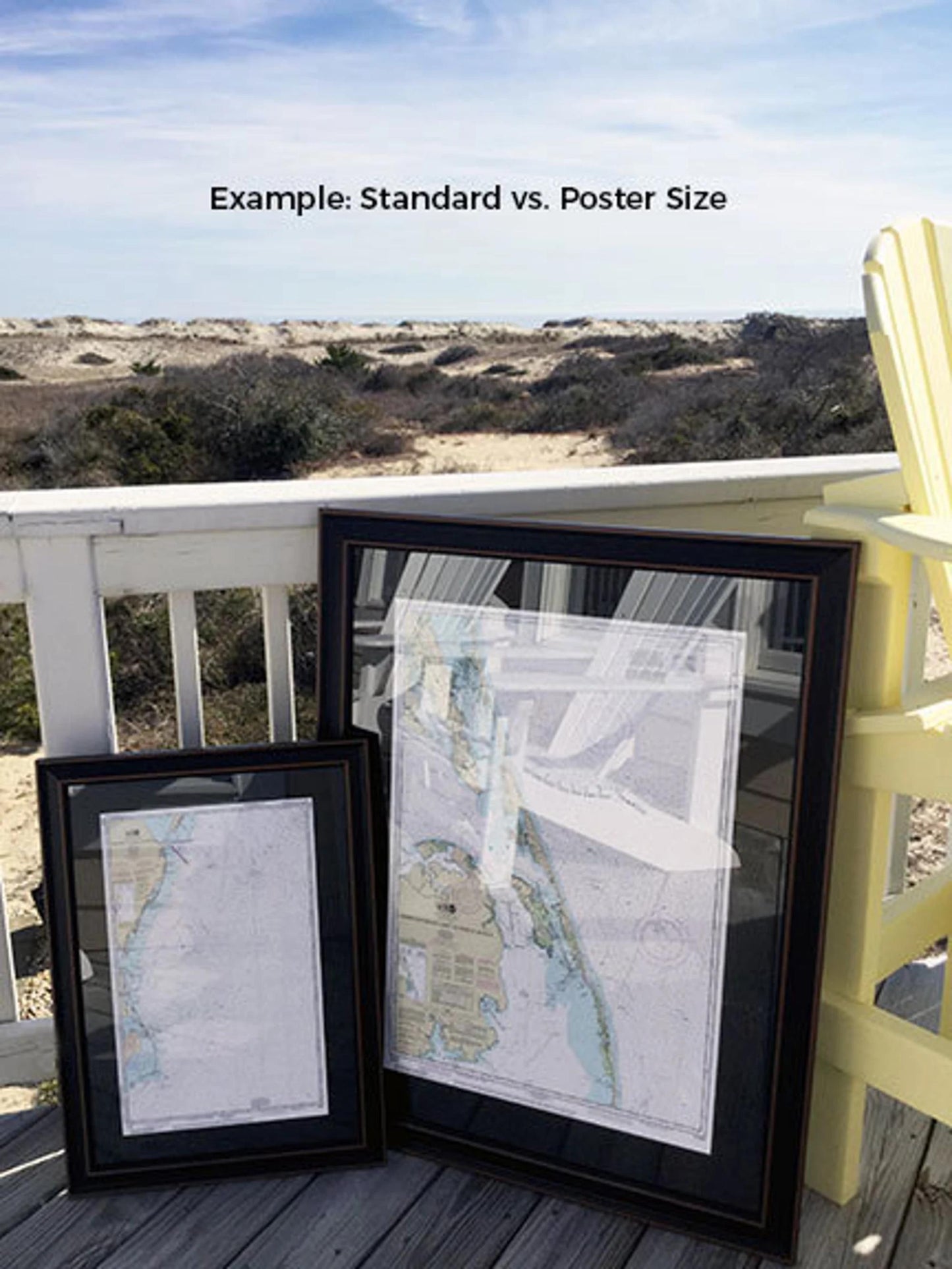
Available in two sizes, you can choose the option that best fits your space:
- Standard size: Approximately 24" H x 17 3/4" W
- Poster size: Approximately 36" H x 26 1/2" W
If you're looking for a different frame style or size, please don’t hesitate to contact us with your request. We are happy to collaborate and create a piece that aligns with your vision.
*Important Shipping Note: We offer free ground shipping only for orders within the 48 contiguous states. While we do not inflate shipping costs, please reach out for a custom shipping quote if you're located in Alaska or Hawaii, as shipping rates can be significantly higher.
Share