Framed Nautical Charts
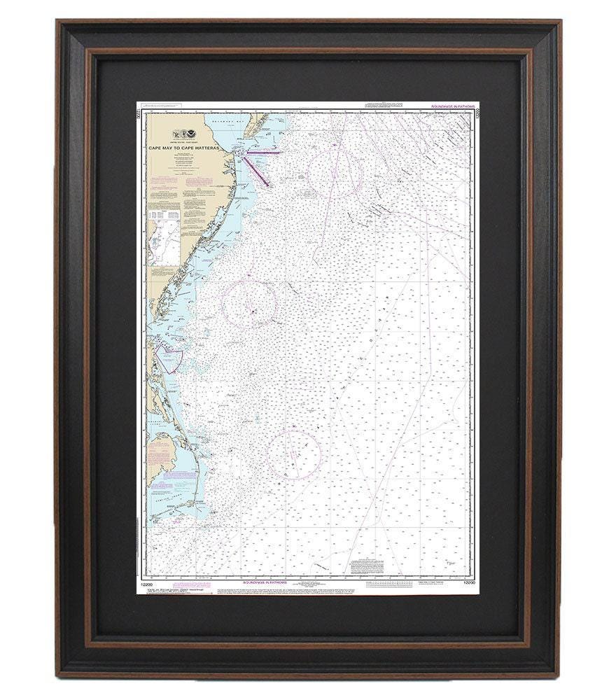
Framed Nautical Chart 12200 - Outer Banks, Cape May to Cape Hatteras. NOAA 12200. Handmade in the USA.
Framed Nautical Chart 12200 - Outer Banks, Cape May to Cape Hatteras. NOAA 12200. Handmade in the USA.
Couldn't load pickup availability
This beautifully framed nautical map showcases the stunning waterways from Cape May to Cape Hatteras. As an official NOAA nautical chart, it provides detailed information about the waters and coastline of the Outer Banks, extending from Delaware Bay to the Cape Hatteras coast. Each chart is meticulously handmade in the USA, ensuring high standards of craftsmanship.
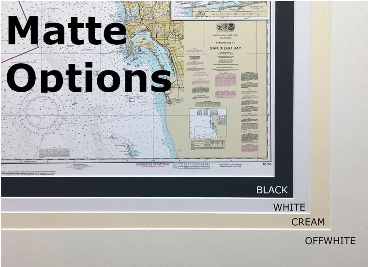
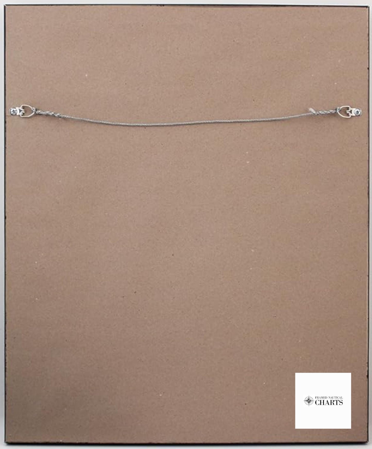
The map is elegantly presented in a solid wood frame that enhances its visual appeal. It features a museum-quality print crafted from archival paper and inks, ensuring durability and vibrancy. A sophisticated black mat surrounds the chart, and the design is protected by a glass front, making it suitable for display in any setting. The back is finished with a paper duster for a polished look, and a wire hanger is included for effortless installation.
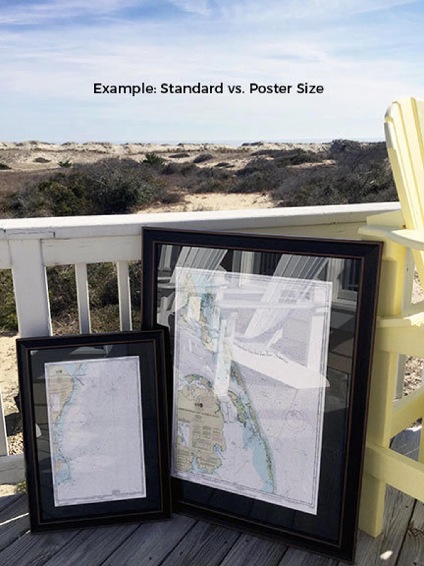
We offer frames in two sizes to fit your preferred display space:
- Standard size: Outer frame dimensions approximately 24" H x 14 3/4" W
- Poster size: Outer frame dimensions approximately 36" H x 22 1/4" W
If you have a specific frame option in mind, please don’t hesitate to reach out with your request. We are happy to work with you and welcome any sample photos to help us bring your vision to life.
*Important Shipping Note: Free ground shipping is available only for shipments to the 48 contiguous states. While we ensure competitive shipping rates, please contact us for a custom quote if shipping to Alaska or Hawaii, as costs may be higher.
Share