Framed Nautical Charts
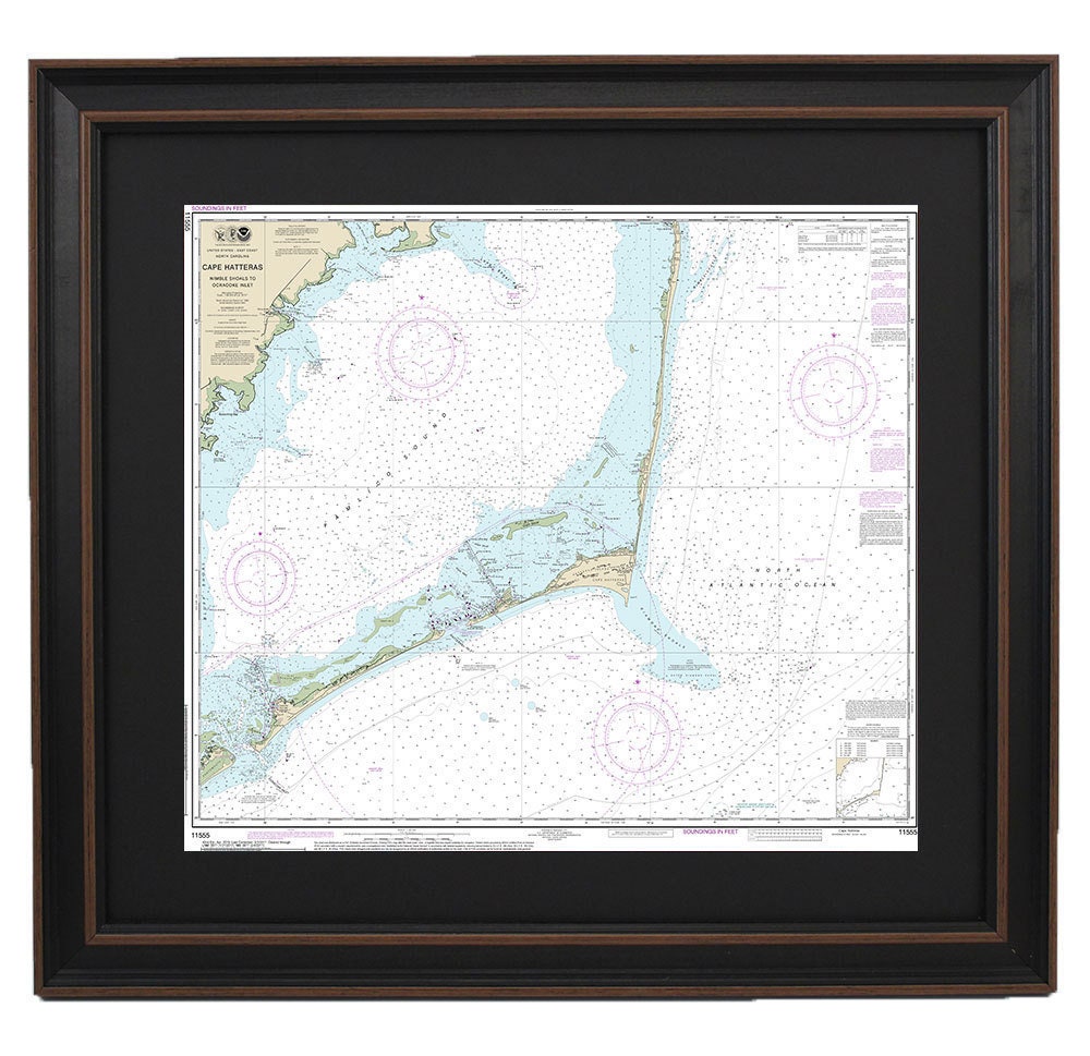
Framed Nautical Chart 11555 - Outer Banks, Cape Hatteras to Ocracoke Inlet, NOAA 11555. Handmade in the USA.
Framed Nautical Chart 11555 - Outer Banks, Cape Hatteras to Ocracoke Inlet, NOAA 11555. Handmade in the USA.
Couldn't load pickup availability
Transform your space with the captivating beauty of our Framed Nautical Chart, showcasing the stunning waterways from Cape Hatteras to Ocracoke Inlet. This official NOAA Nautical Chart is not just a map; it's a piece of art that encapsulates the essence of the Outer Banks, making it a perfect addition for maritime enthusiasts or anyone who appreciates coastal charm.
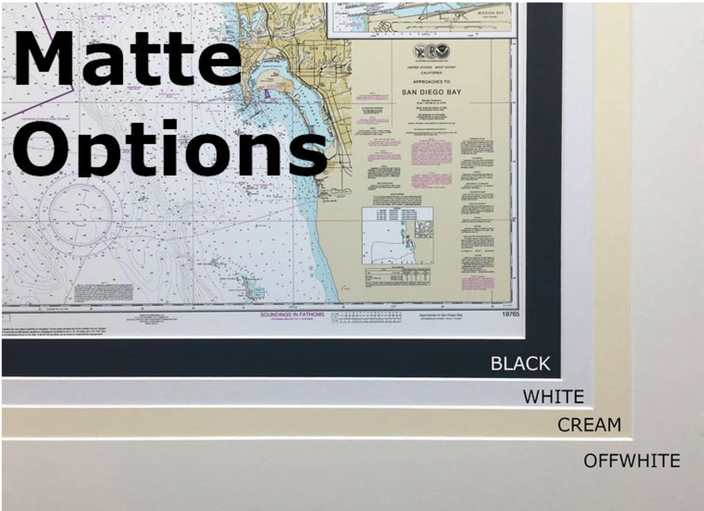
Expertly handmade in the USA, each chart reflects exceptional craftsmanship and attention to detail. Housed in a solid wood frame, this museum-quality print is produced on archival paper with vibrant inks that ensure longevity. The classic black mat and protective glass front enhance its visual appeal while safeguarding it for years to come.
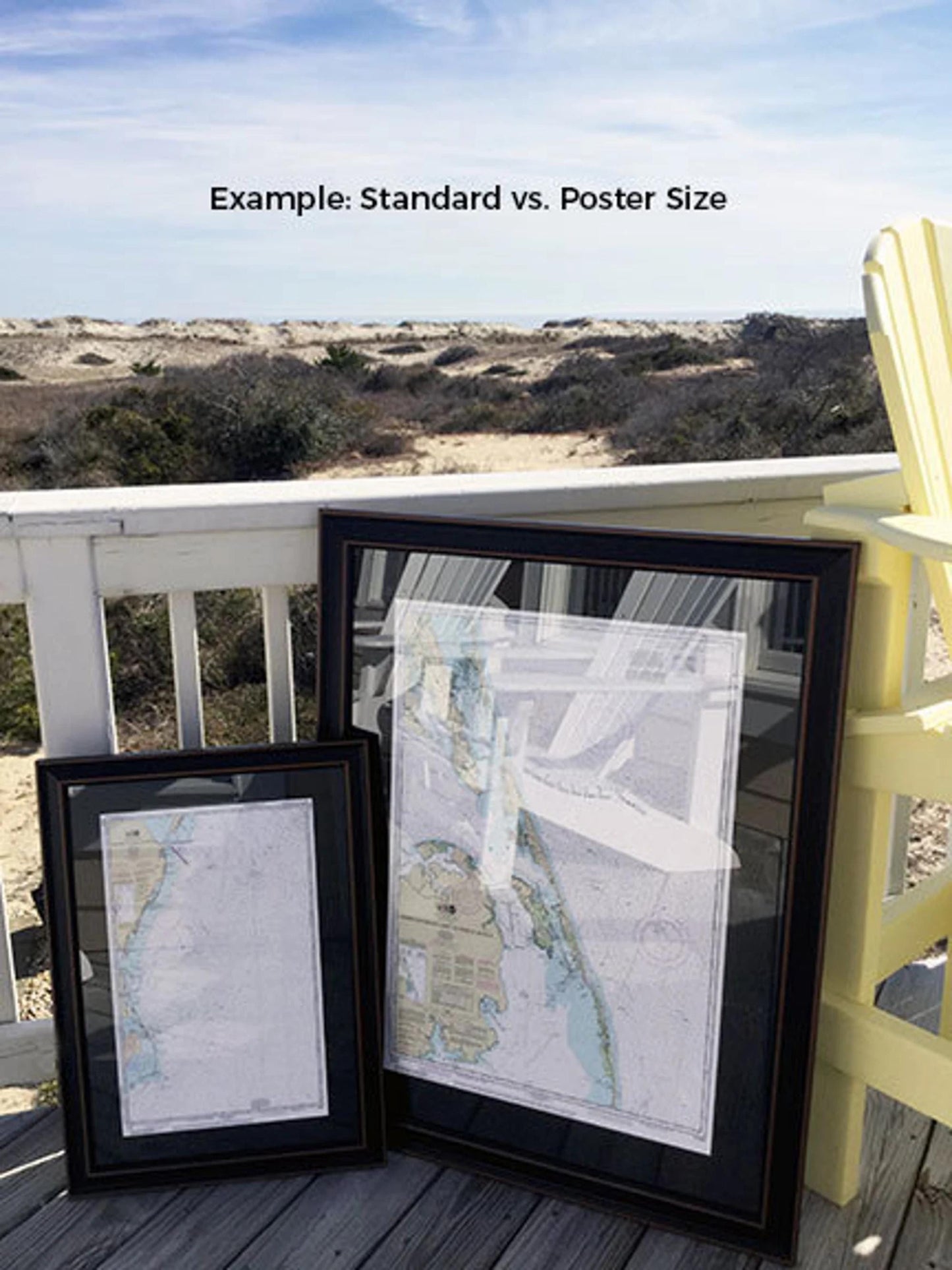
With two sizes to choose from—Standard (24" W x 20" H) and Poster (36" W x 30" H)—you can find the perfect fit for your decor. If you have a specific vision in mind, we’re more than happy to accommodate custom frame requests! Just reach out with sample photos, and we’ll help bring your dream decor to life.
Don't let this stunning nautical chart sail away without you! With free ground shipping available to the 48 contiguous states, it's never been easier to elevate your home or office with a touch of maritime elegance. Order yours today and make a statement that reflects your love for the sea!
Share