Framed Nautical Charts
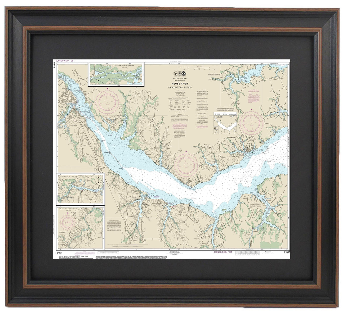
Framed Nautical Chart 11552 - Neuse River and Upper Part of Bay River. NOAA 11552. Handmade in the USA.
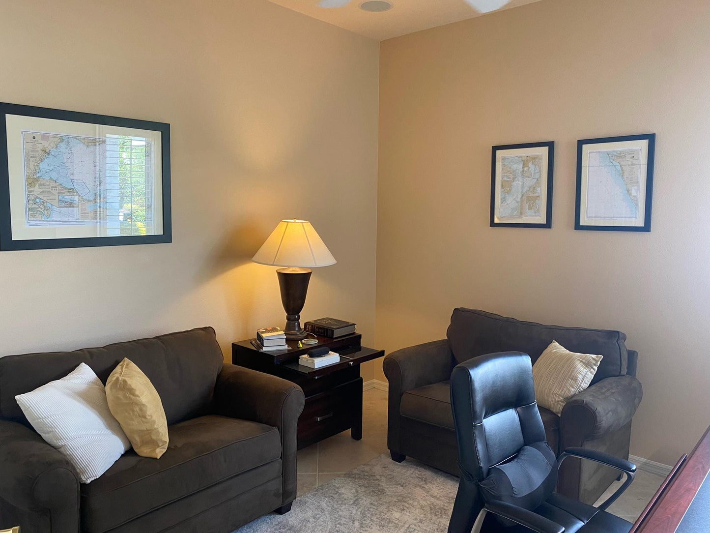
Framed Nautical Chart 11552 - Neuse River and Upper Part of Bay River. NOAA 11552. Handmade in the USA.
Couldn't load pickup availability
Discover the beauty of the Neuse River and the Upper Part of Bay River with this stunning Framed Nautical Chart, designated as NOAA 11552. This official NOAA Nautical Chart captures the intricate waterways along North Carolina's coast, making it perfect for boating enthusiasts and coastal decor lovers alike. Each chart is intricately handcrafted in the USA, reflecting a commitment to quality and craftsmanship.
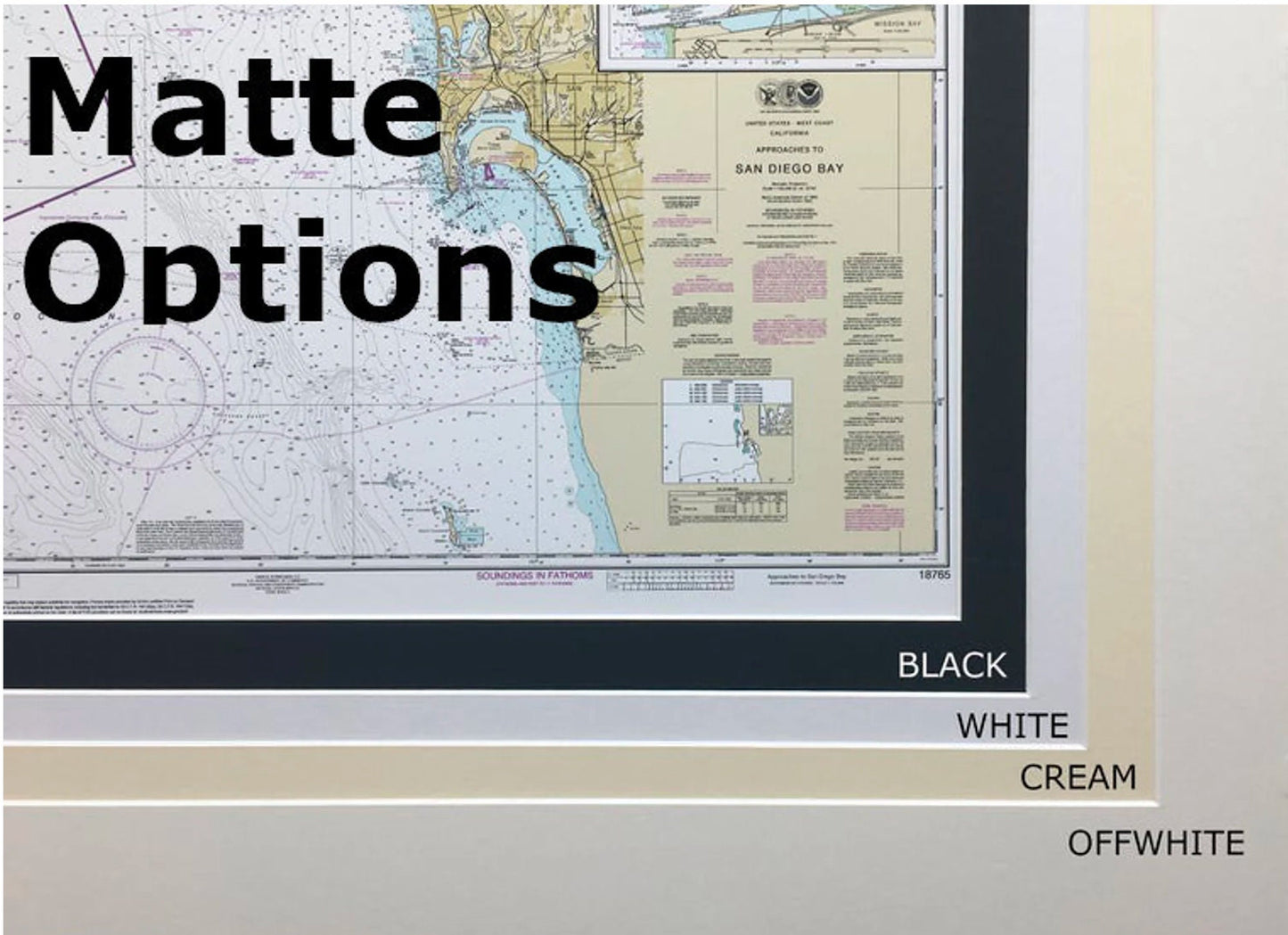
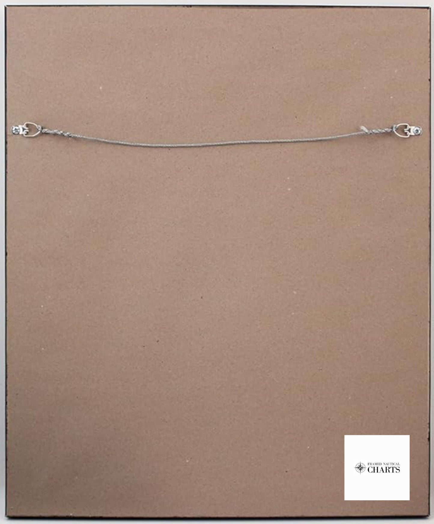
This framed nautical map is presented in a durable solid wood frame and features a museum-quality print crafted from archival paper and inks, ensuring longevity and vibrancy. The design is enhanced with a black mat and protected by a glass front, providing not only aesthetics but also preservation. The back of the frame is finished with a paper duster, and it arrives ready to hang with a convenient wire hanger for easy installation.
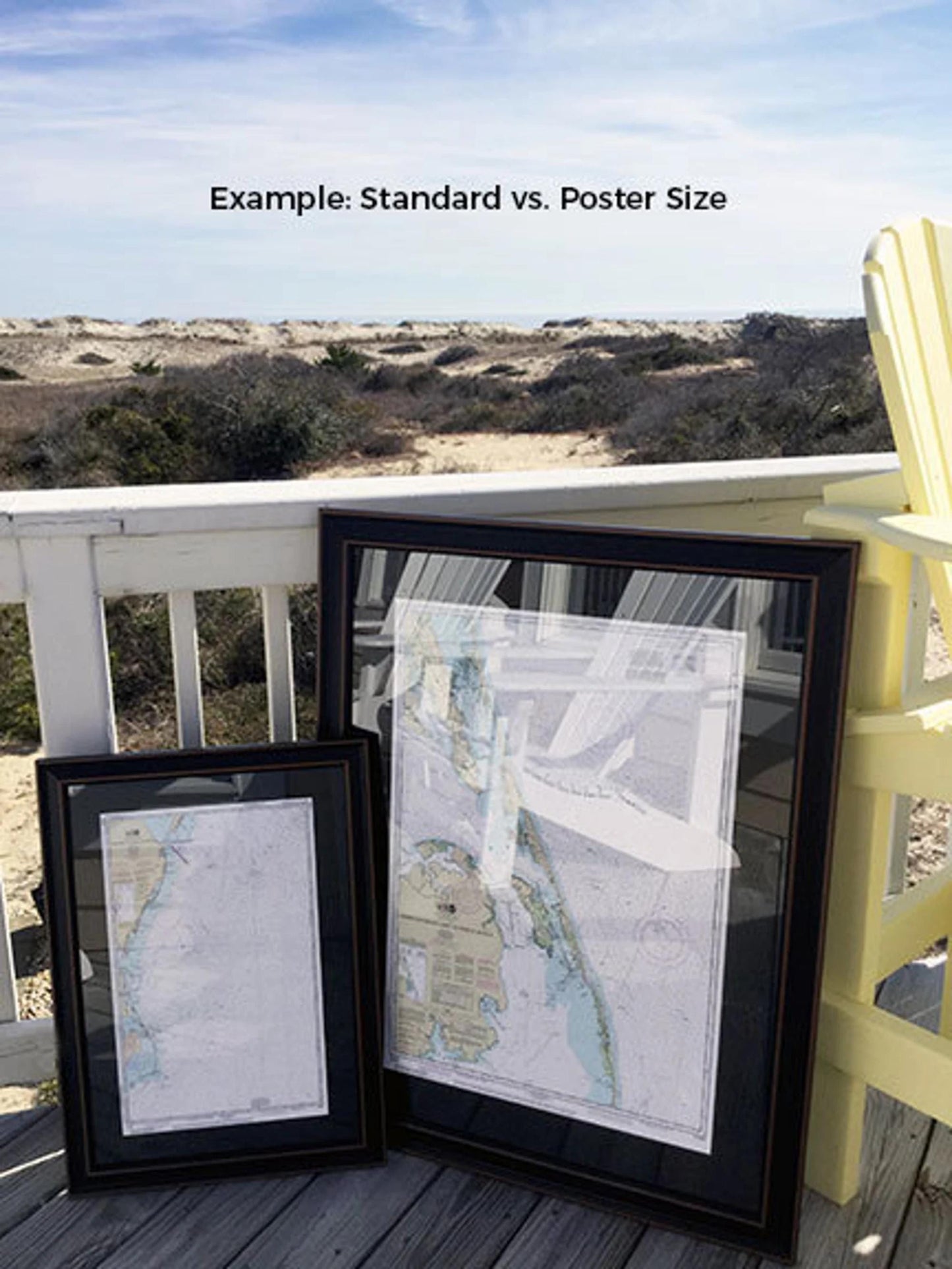
Available in two sizes, the Framed Nautical Chart offers flexibility to fit your space:
- Standard size: outer frame dimensions approximately 24" W x 20" H
- Poster size: outer frame dimensions approximately 26" W x 30 1/4" H
If you're seeking a different frame option or have specific preferences, please contact us with your request. We are more than happy to accommodate your vision and welcome any sample photos you may have.
*Important Shipping Note: Free ground shipping is available only for deliveries to the 48 contiguous states. We do not impose extra shipping fees; however, due to the typically higher shipping costs to Alaska and Hawaii, we encourage you to reach out for a custom shipping quote.
Share