Framed Nautical Charts
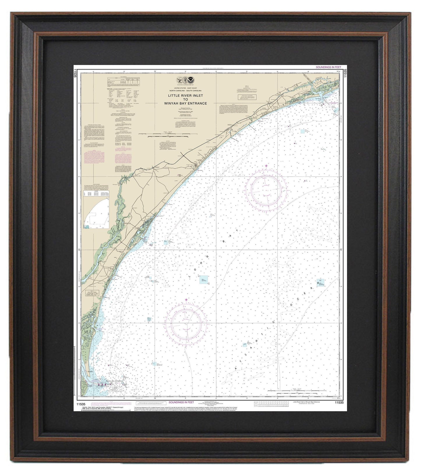
Framed Nautical Chart 11535 - Little River Inlet to Winyah Bay Entrance. NOAA 11535. Handmade in the USA.
Framed Nautical Chart 11535 - Little River Inlet to Winyah Bay Entrance. NOAA 11535. Handmade in the USA.
Couldn't load pickup availability
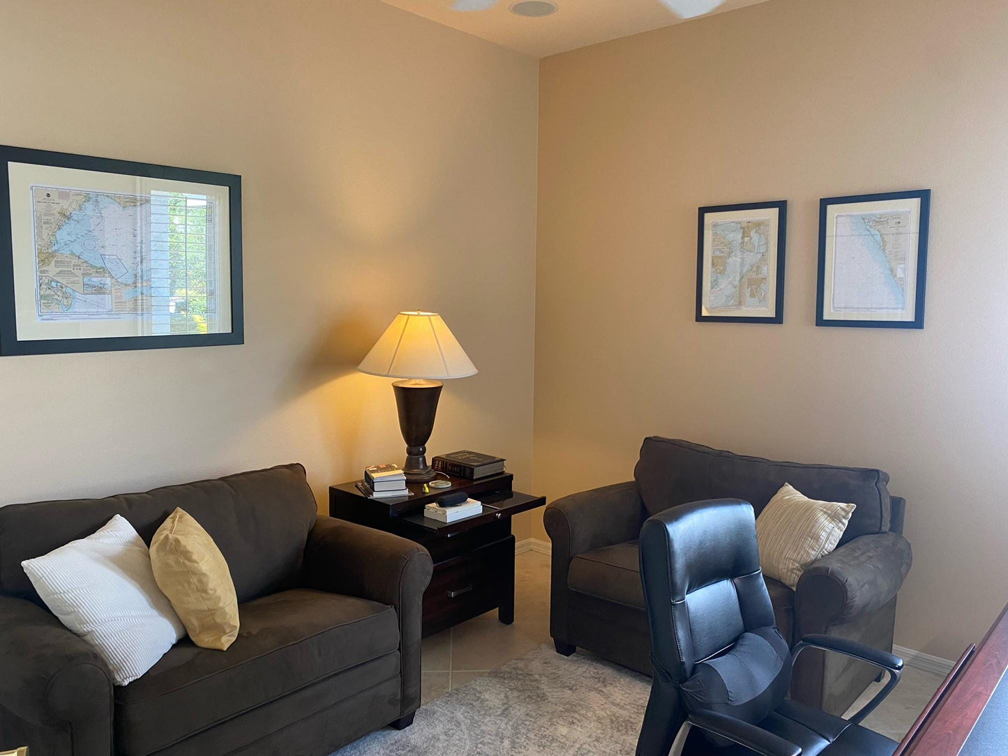
Discover the beauty of coastal navigation with our Framed Nautical Chart, featuring the stunning waterways from Little River Inlet to Winyah Bay Entrance (NOAA Chart 11535). This meticulously crafted nautical map is an official NOAA chart and serves as an essential guide to the waters off North Carolina.
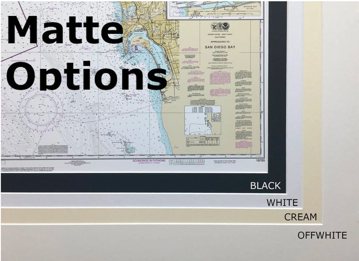
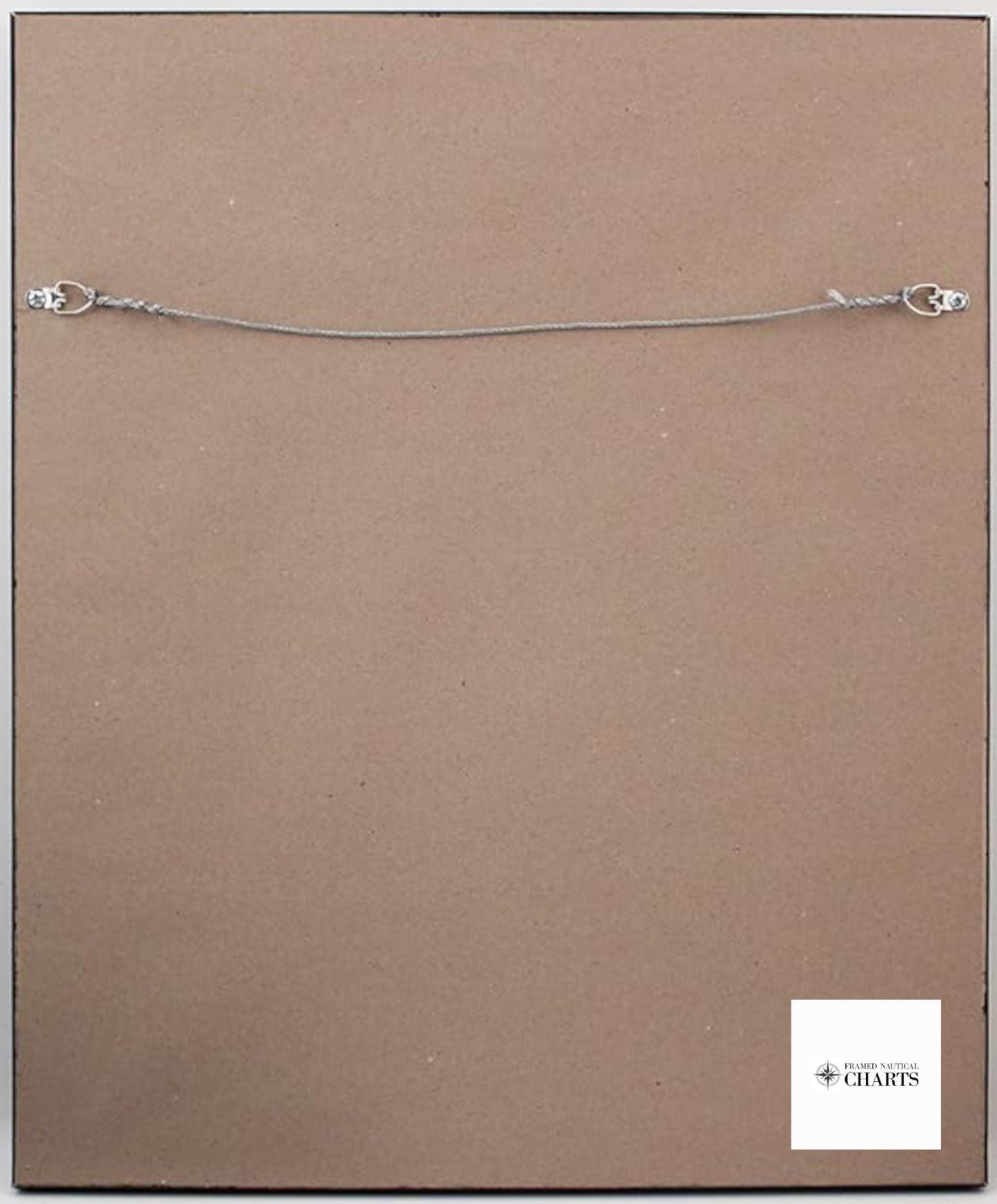
Each chart is custom handmade in the USA, showcasing exceptional craftsmanship. It is elegantly presented in a solid wood frame that features a museum-quality print on archival paper, using fade-resistant inks for long-lasting vibrancy. The design includes a tasteful black mat, and the chart is protected by a glass front for clarity and durability. The back of the frame is finished with a paper duster, and it comes with a wire hanger for easy installation on your wall.
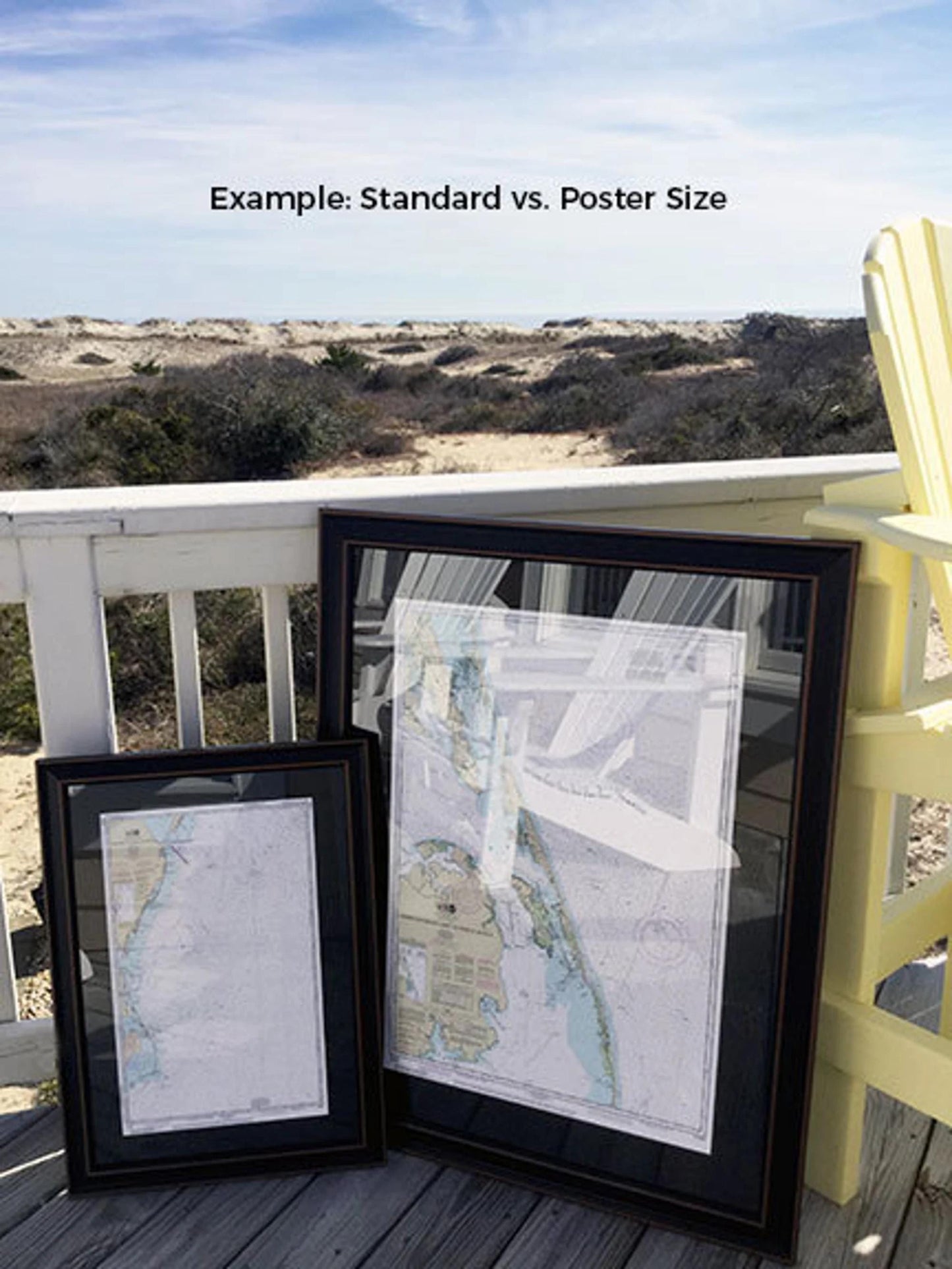
Choose from two sizes to find the perfect fit for your space:
- Standard size: Outer frame dimensions are approximately 19" W x 24" H.
- Poster size: Outer frame dimensions are approximately 28 1/4" W x 36" H.
If you're interested in a custom frame option, we encourage you to reach out with your ideas. We would love to collaborate and create a truly unique piece that meets your vision.
*Important Shipping Note: Enjoy free ground shipping to the 48 contiguous states. We do not add additional shipping costs; however, due to the high prices to ship to Alaska and Hawaii, please contact us for a custom shipping quote.
Share